Rose City is a city in Ogemaw County in the U.S. state of Michigan. The population was 653 at the 2010 census, which ranks it as the seventh-smallest city by population in the state.
| Name: | Rose City city |
|---|---|
| LSAD Code: | 25 |
| LSAD Description: | city (suffix) |
| State: | Michigan |
| County: | Ogemaw County |
| Incorporated: | 1910 |
| Elevation: | 958 ft (292 m) |
| Total Area: | 1.08 sq mi (2.81 km²) |
| Land Area: | 1.08 sq mi (2.79 km²) |
| Water Area: | 0.01 sq mi (0.02 km²) |
| Total Population: | 577 |
| Population Density: | 535.75/sq mi (206.90/km²) |
| Area code: | 989 |
| FIPS code: | 2669680 |
| GNISfeature ID: | 636193 |
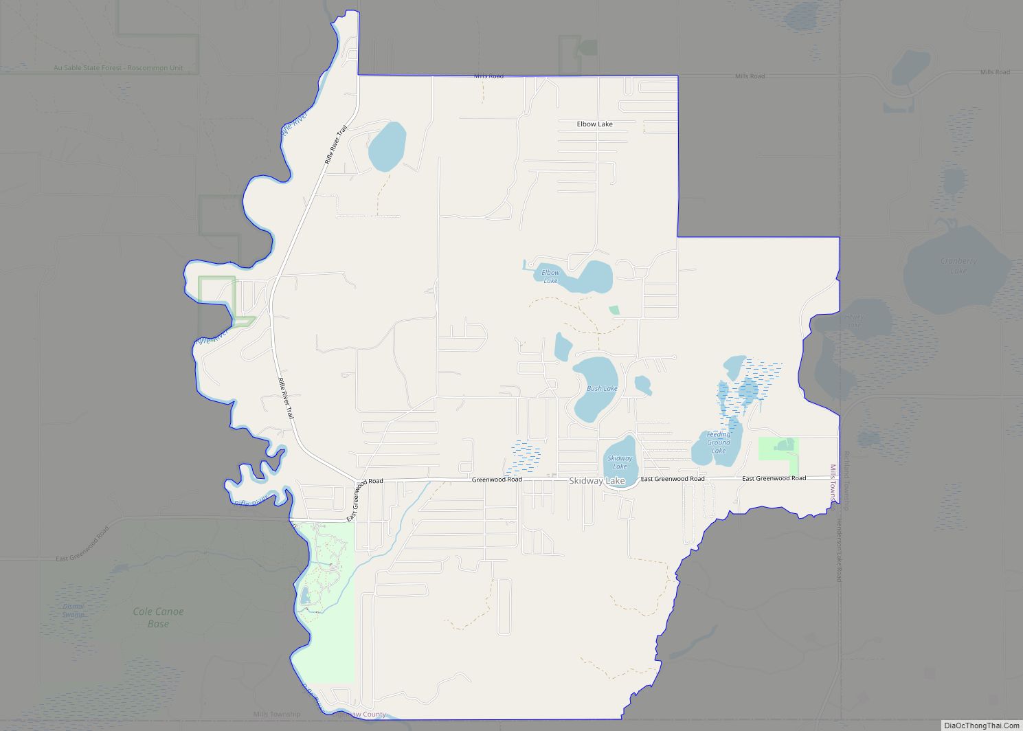
Online Interactive Map
Click on ![]() to view map in "full screen" mode.
to view map in "full screen" mode.
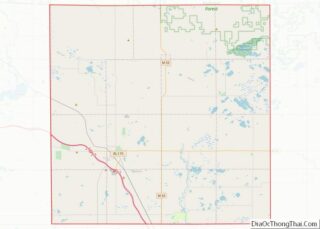
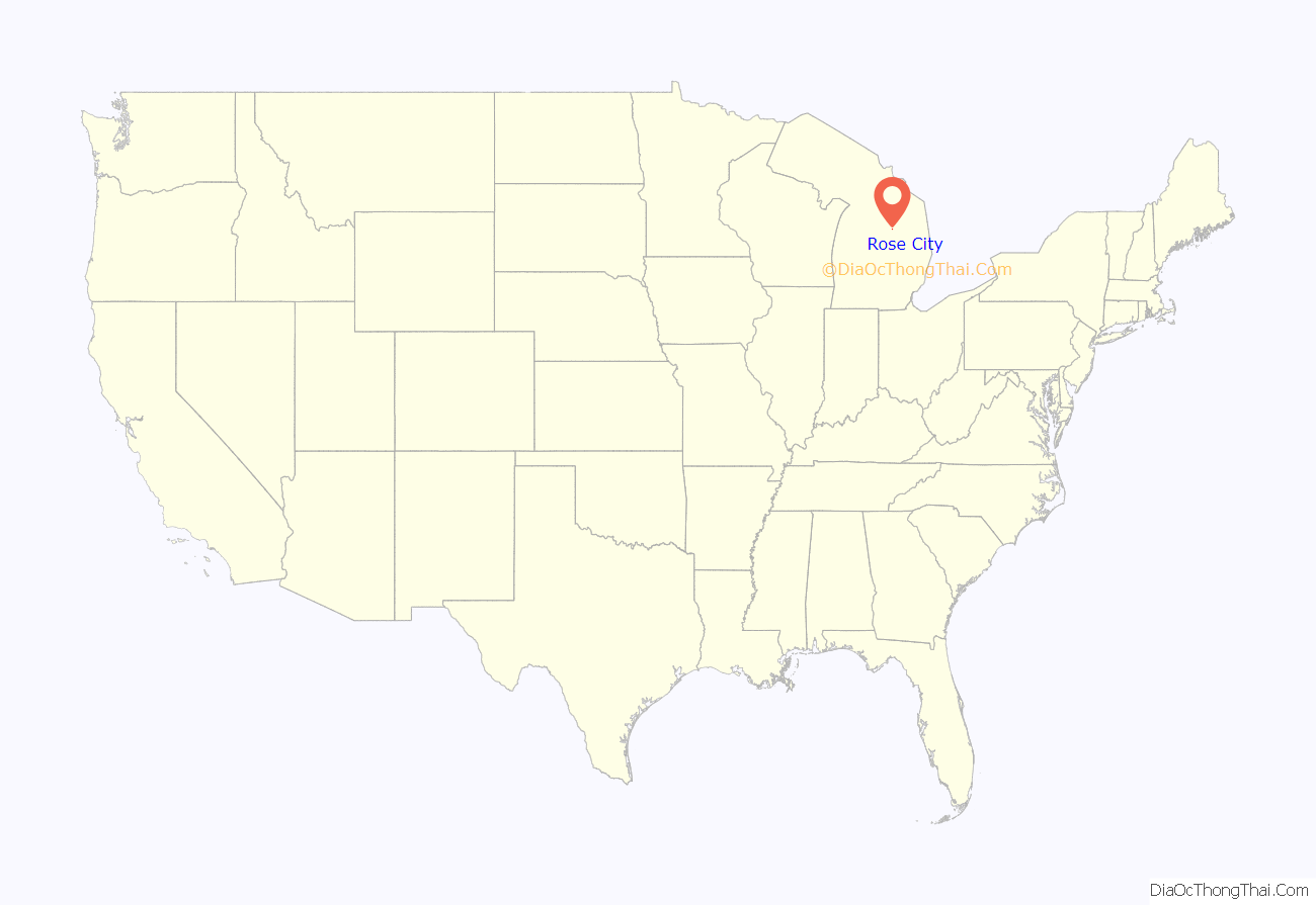
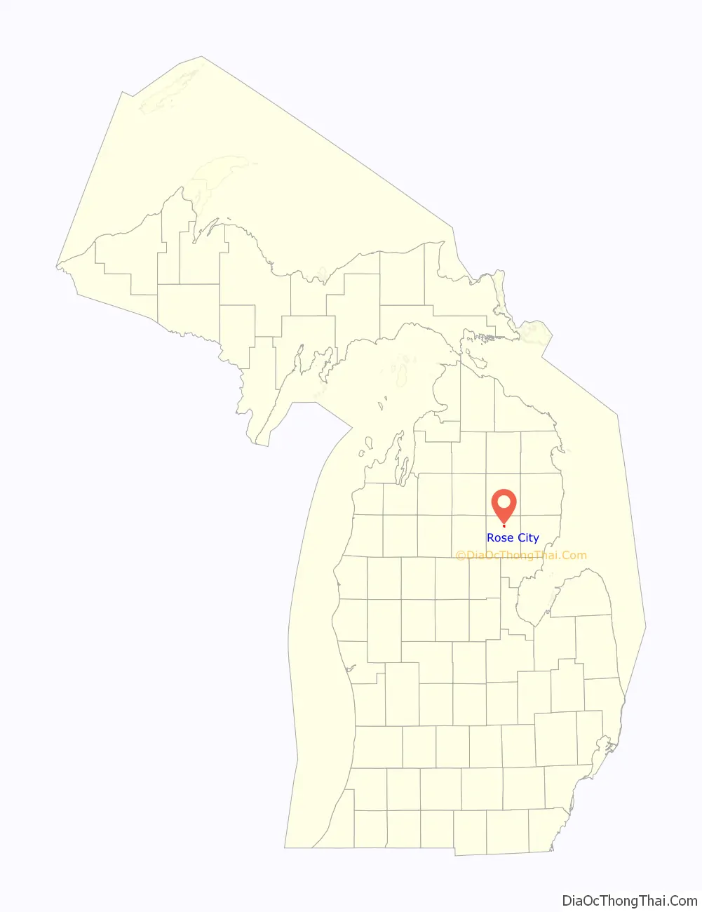
Rose City location map. Where is Rose City city?
History
Churchill was the original name of this lumbering town, which was located 0.5 miles (0.8 km) from its present location. Hiram Hodge was the first resident of the community. He built a hotel, but later left the area. The Rose family, including Allan S. Rose, his father and two brothers, came from New York State in 1875. Allan S. Rose formed a partnership with M.H. French, known as the “French and Rose Land Company”, and started a new settlement. The many lumber operations were after the giant pine and old timber found in the area. They cleared land and built a general store, settler’s cabins, and boarding houses. A post office opened with the name Churchill on September 8, 1875.
On July 23, 1892, the settlement was moved to the east, and the post office’s name was changed to Rose City, in honor of the Rose family. Rose City was incorporated as a fourth-class city in 1905. In 1910, the city suffered a major fire that destroyed the business section within an hour, with thirty buildings burning down. This fire caused the end of Rose City’s lumbering center, as many businesses decided not to rebuild.
The area began to see several improvements from 1945 to 1960, including the construction of a sewer system, paved streets, and streetlights. There are many artesian wells found in Rose City’s main water supply still today, and Rose City was once referred to as “The Home of Artesian Wells”. In October 1962, Rose City’s school district was combined with that of neighboring West Branch to become the West Branch-Rose City Area Schools district.
In 2002, the city of Rose City and the site of its historic fire were designated as Michigan State Historic Sites, with a double-sided historic marker erected in Rose City Park. Near Rose City Park is the Cleveland Park Pavilion, which is also a registered historic site.
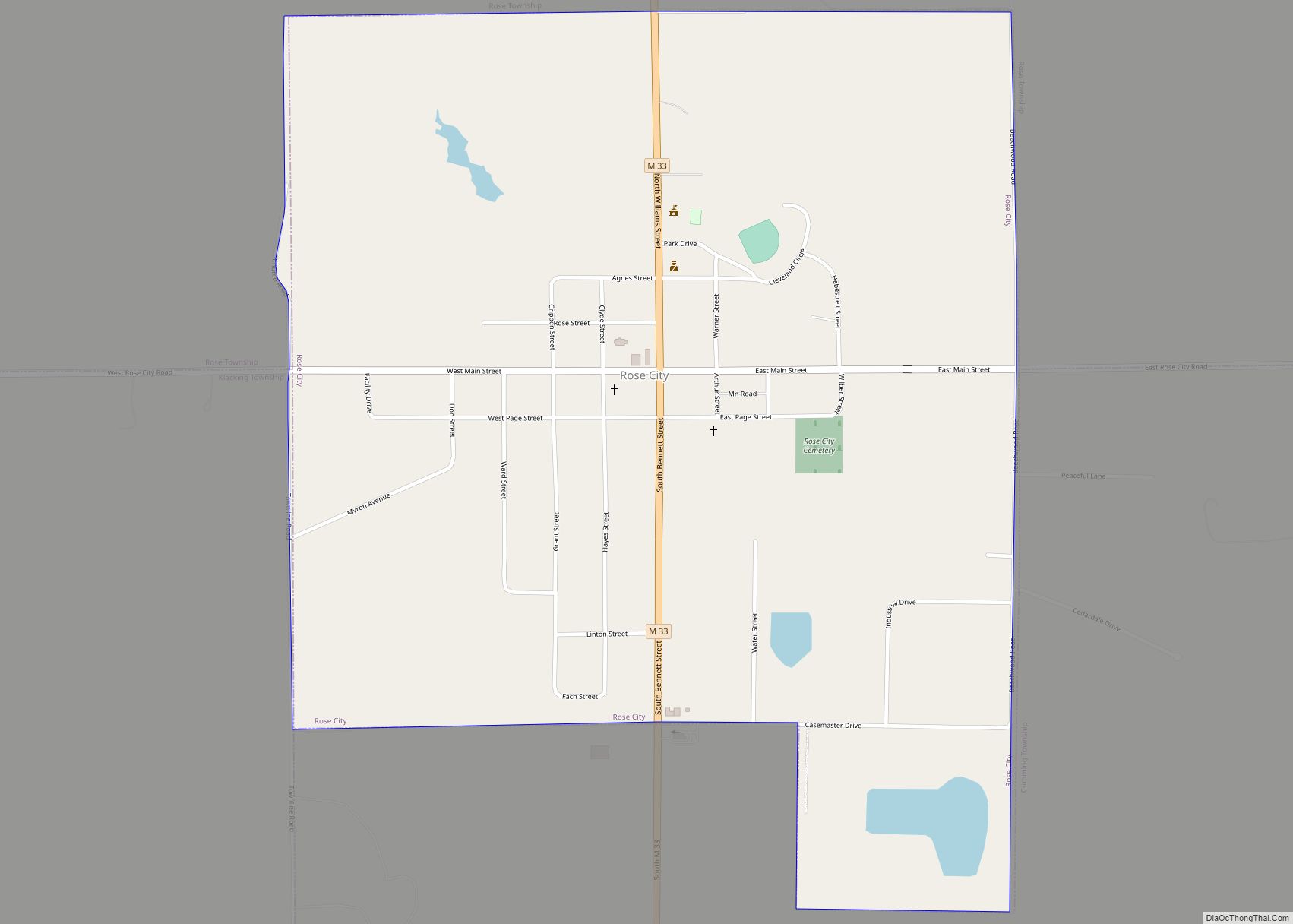
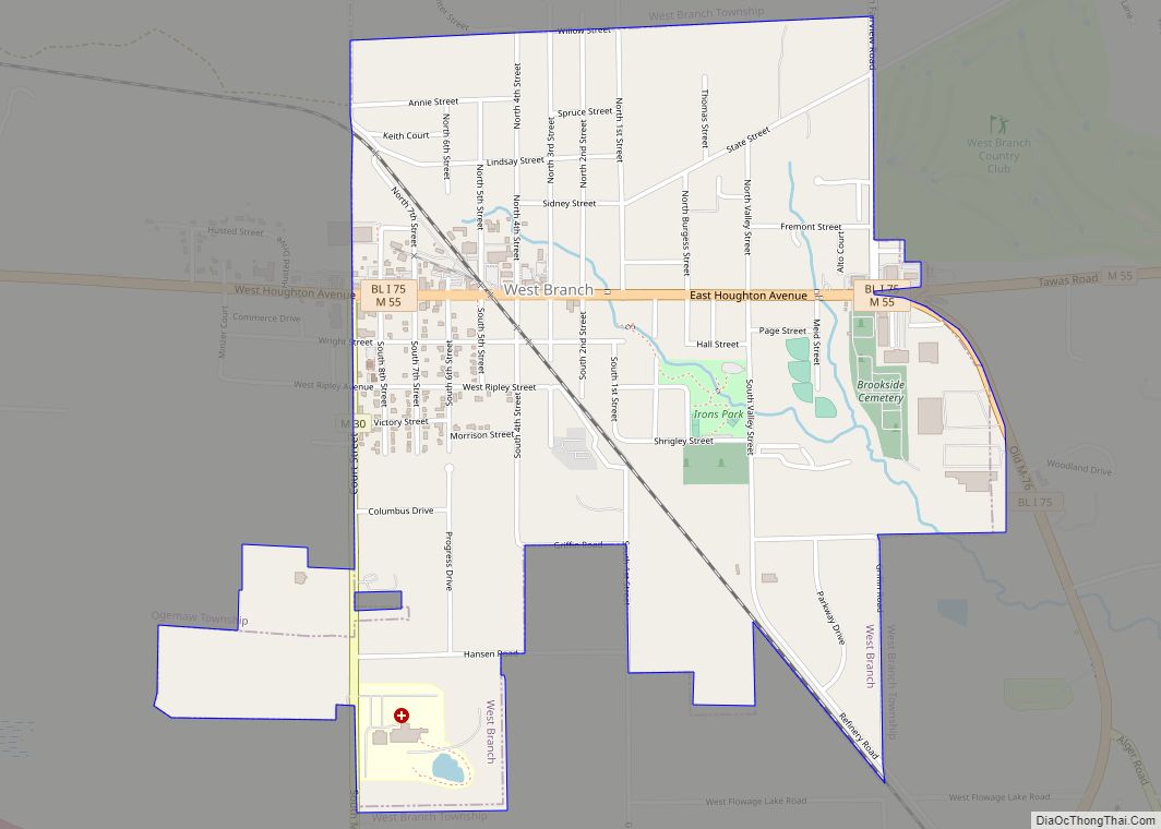
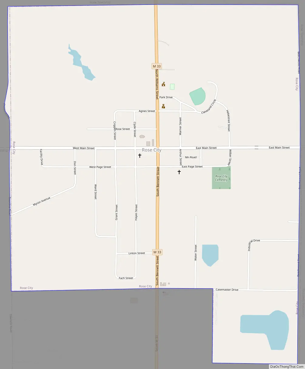
Rose City Road Map
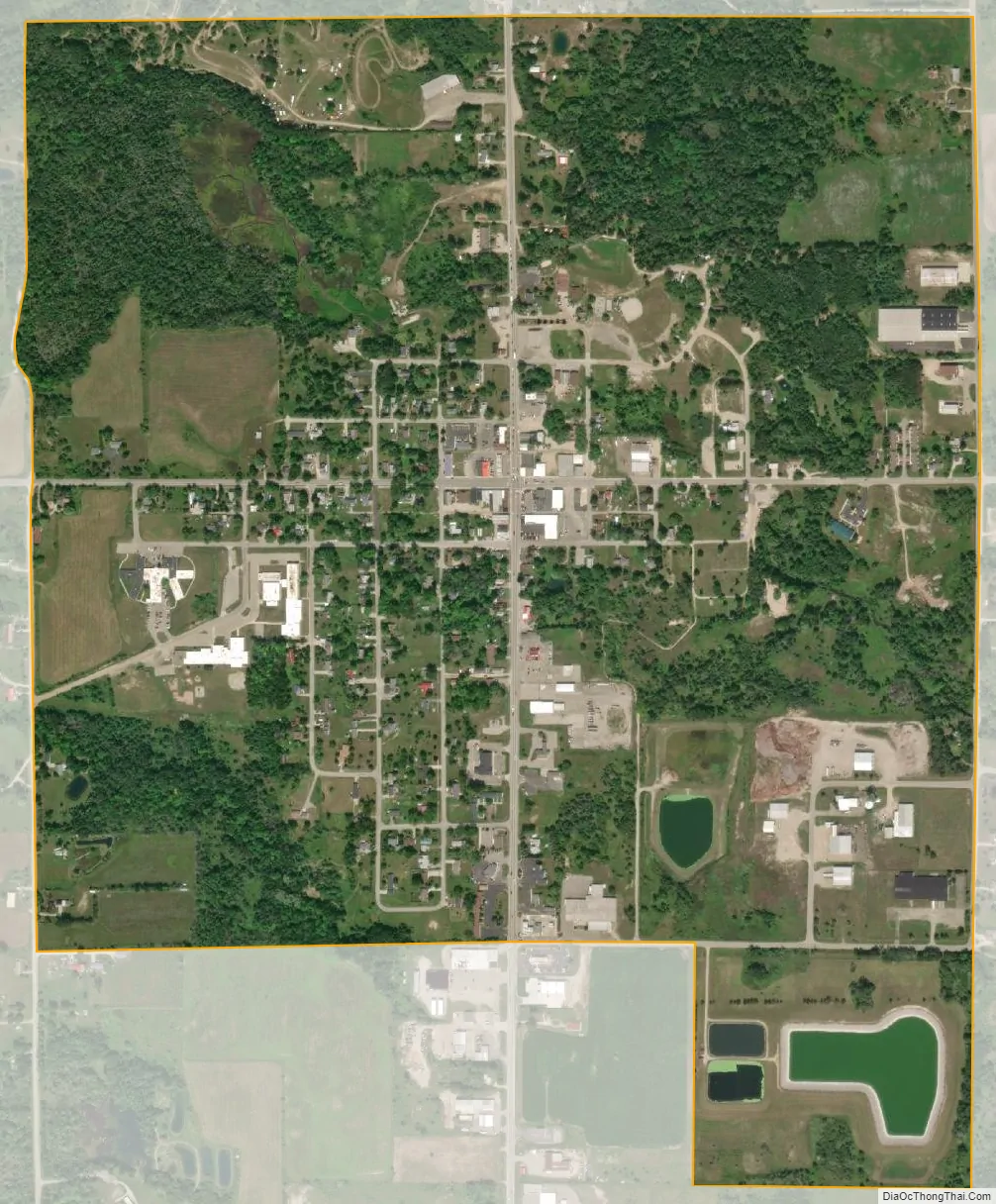
Rose City city Satellite Map
Geography
According to the United States Census Bureau, the city has a total area of 1.09 square miles (2.82 km), of which 1.08 square miles (2.80 km) is land and 0.01 square miles (0.03 km) (0.74%) is water.
Houghton Creek, a tributary of the Rifle River, runs through part of the city limits. The Rifle River State Recreation Area, which can be used for year-round activities like canoeing, swimming, fishing, and snowmobiling, is about 3 miles (4.8 km) to the east. There are 75 lakes within 15 miles of the city limits.
See also
Map of Michigan State and its subdivision:- Alcona
- Alger
- Allegan
- Alpena
- Antrim
- Arenac
- Baraga
- Barry
- Bay
- Benzie
- Berrien
- Branch
- Calhoun
- Cass
- Charlevoix
- Cheboygan
- Chippewa
- Clare
- Clinton
- Crawford
- Delta
- Dickinson
- Eaton
- Emmet
- Genesee
- Gladwin
- Gogebic
- Grand Traverse
- Gratiot
- Hillsdale
- Houghton
- Huron
- Ingham
- Ionia
- Iosco
- Iron
- Isabella
- Jackson
- Kalamazoo
- Kalkaska
- Kent
- Keweenaw
- Lake
- Lake Hurron
- Lake Michigan
- Lake St. Clair
- Lake Superior
- Lapeer
- Leelanau
- Lenawee
- Livingston
- Luce
- Mackinac
- Macomb
- Manistee
- Marquette
- Mason
- Mecosta
- Menominee
- Midland
- Missaukee
- Monroe
- Montcalm
- Montmorency
- Muskegon
- Newaygo
- Oakland
- Oceana
- Ogemaw
- Ontonagon
- Osceola
- Oscoda
- Otsego
- Ottawa
- Presque Isle
- Roscommon
- Saginaw
- Saint Clair
- Saint Joseph
- Sanilac
- Schoolcraft
- Shiawassee
- Tuscola
- Van Buren
- Washtenaw
- Wayne
- Wexford
- Alabama
- Alaska
- Arizona
- Arkansas
- California
- Colorado
- Connecticut
- Delaware
- District of Columbia
- Florida
- Georgia
- Hawaii
- Idaho
- Illinois
- Indiana
- Iowa
- Kansas
- Kentucky
- Louisiana
- Maine
- Maryland
- Massachusetts
- Michigan
- Minnesota
- Mississippi
- Missouri
- Montana
- Nebraska
- Nevada
- New Hampshire
- New Jersey
- New Mexico
- New York
- North Carolina
- North Dakota
- Ohio
- Oklahoma
- Oregon
- Pennsylvania
- Rhode Island
- South Carolina
- South Dakota
- Tennessee
- Texas
- Utah
- Vermont
- Virginia
- Washington
- West Virginia
- Wisconsin
- Wyoming