Vineyard Lake is an unincorporated community and census-designated place (CDP) in Jackson County in the U.S. state of Michigan. The CDP had a population of 980 at the 2010 census. It is located within Columbia Township to the west and Norvell Township to the east.
| Name: | Vineyard Lake CDP |
|---|---|
| LSAD Code: | 57 |
| LSAD Description: | CDP (suffix) |
| State: | Michigan |
| County: | Jackson County |
| Elevation: | 965 ft (294 m) |
| Total Area: | 3.43 sq mi (8.89 km²) |
| Land Area: | 2.56 sq mi (6.64 km²) |
| Water Area: | 0.87 sq mi (2.25 km²) |
| Total Population: | 992 |
| Population Density: | 387.05/sq mi (149.45/km²) |
| Area code: | 517 |
| FIPS code: | 2682490 |
| GNISfeature ID: | 2583767 |
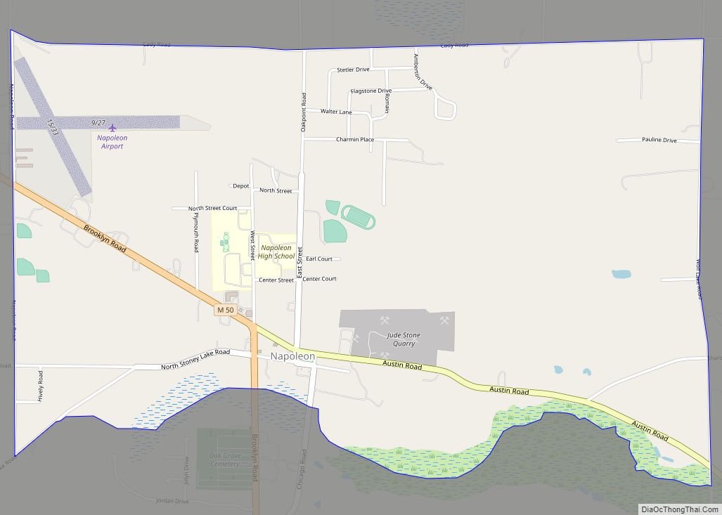
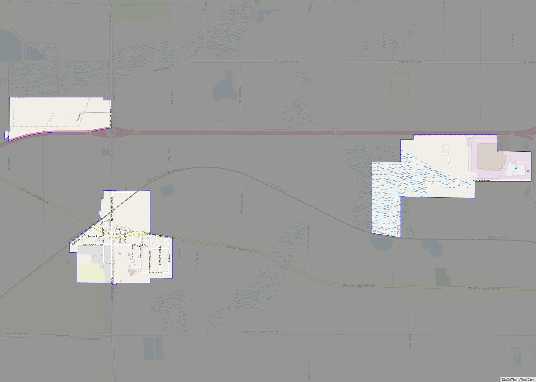
Online Interactive Map
Click on ![]() to view map in "full screen" mode.
to view map in "full screen" mode.
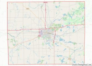
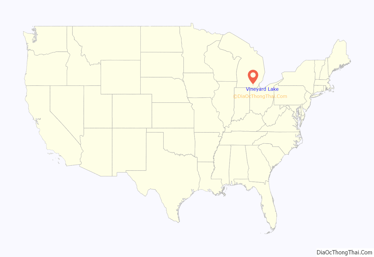
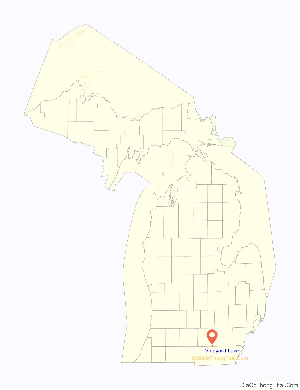
Vineyard Lake location map. Where is Vineyard Lake CDP?
History
The community of Vineyard Lake was listed as a newly-organized census-designated place for the 2010 census, meaning it now has officially defined boundaries and population statistics for the first time.
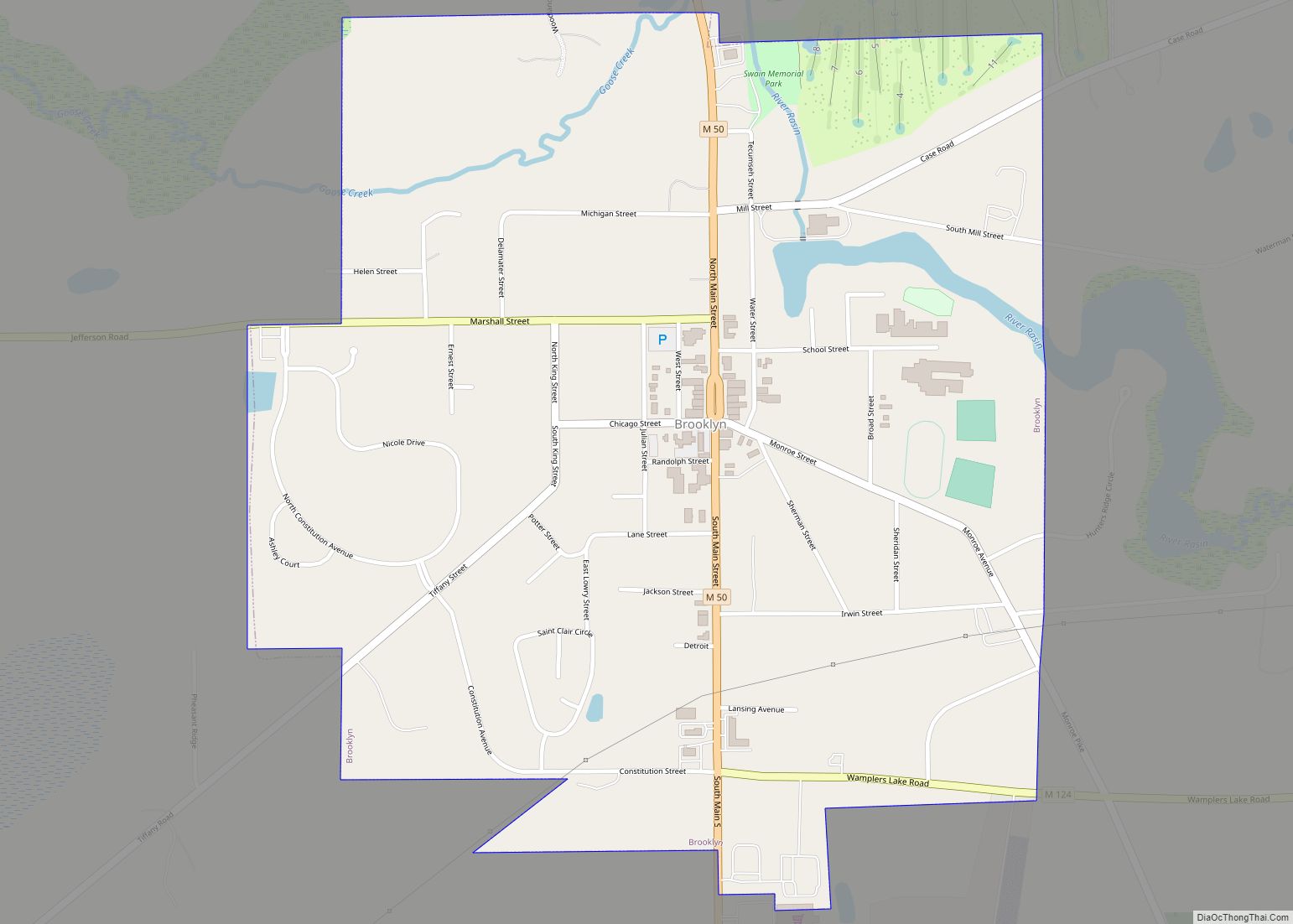
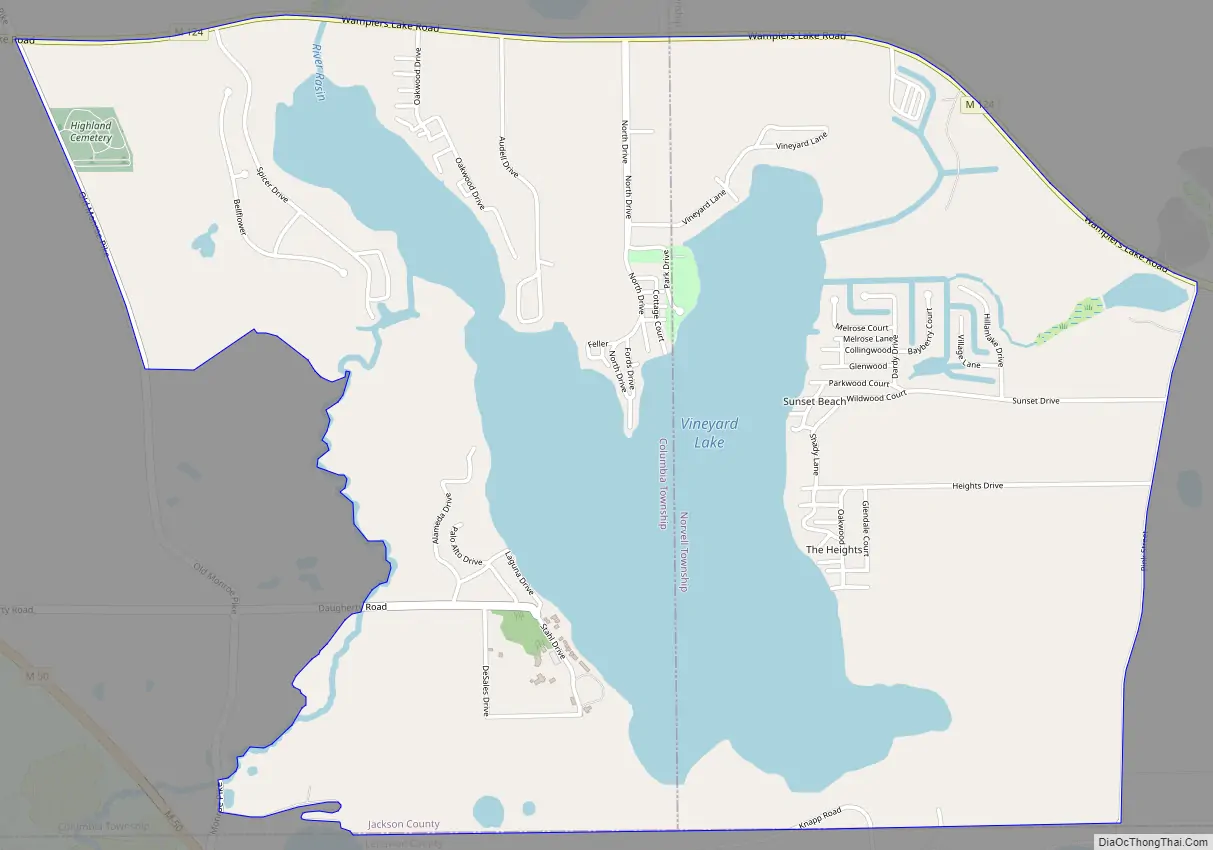
Vineyard Lake Road Map
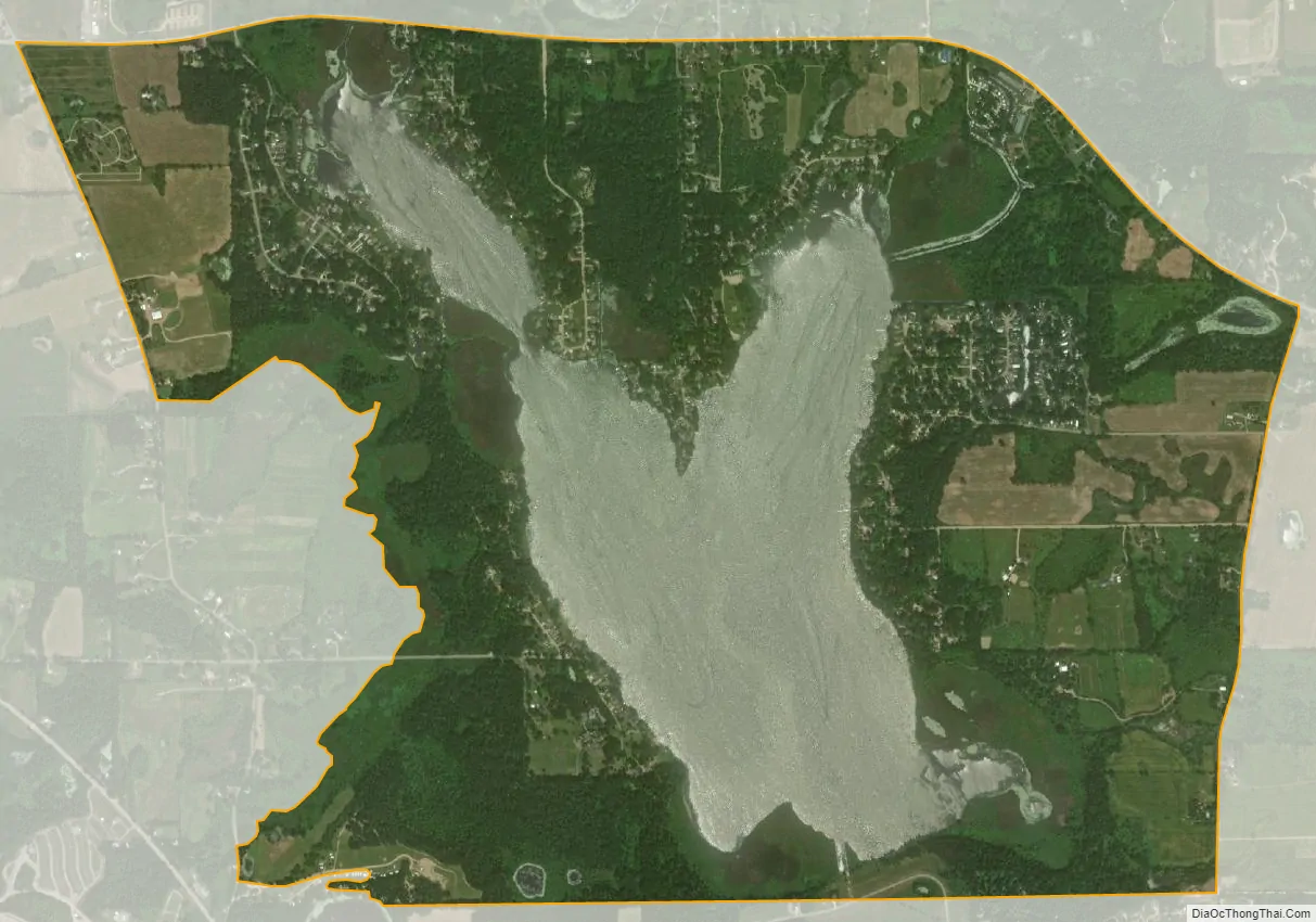
Vineyard Lake city Satellite Map
Geography
According to the United States Census Bureau, the Vineyard Lake CDP has an area of 3.43 square miles (8.88 km), of which 2.56 square miles (6.63 km) is land and 0.87 square miles (2.25 km) (25.36%) is water.
The community is in southeastern Jackson County, in the southeast corner of Columbia Township and the southwest corner of Norvell Township. It is bordered to the south by Cambridge Township in Lenawee County. The CDP surrounds Vineyard Lake, a natural water body along the River Raisin. The CDP includes the unincorporated communities of Sunset Beach and The Heights, each on the east side of the lake.
State highway M-124 forms the northern border of the Vineyard Lake CDP; the highway leads west 2 miles (3 km) to Brooklyn and southeast 5 miles (8 km) to Hayes State Park at Wamplers Lake.
See also
Map of Michigan State and its subdivision:- Alcona
- Alger
- Allegan
- Alpena
- Antrim
- Arenac
- Baraga
- Barry
- Bay
- Benzie
- Berrien
- Branch
- Calhoun
- Cass
- Charlevoix
- Cheboygan
- Chippewa
- Clare
- Clinton
- Crawford
- Delta
- Dickinson
- Eaton
- Emmet
- Genesee
- Gladwin
- Gogebic
- Grand Traverse
- Gratiot
- Hillsdale
- Houghton
- Huron
- Ingham
- Ionia
- Iosco
- Iron
- Isabella
- Jackson
- Kalamazoo
- Kalkaska
- Kent
- Keweenaw
- Lake
- Lake Hurron
- Lake Michigan
- Lake St. Clair
- Lake Superior
- Lapeer
- Leelanau
- Lenawee
- Livingston
- Luce
- Mackinac
- Macomb
- Manistee
- Marquette
- Mason
- Mecosta
- Menominee
- Midland
- Missaukee
- Monroe
- Montcalm
- Montmorency
- Muskegon
- Newaygo
- Oakland
- Oceana
- Ogemaw
- Ontonagon
- Osceola
- Oscoda
- Otsego
- Ottawa
- Presque Isle
- Roscommon
- Saginaw
- Saint Clair
- Saint Joseph
- Sanilac
- Schoolcraft
- Shiawassee
- Tuscola
- Van Buren
- Washtenaw
- Wayne
- Wexford
- Alabama
- Alaska
- Arizona
- Arkansas
- California
- Colorado
- Connecticut
- Delaware
- District of Columbia
- Florida
- Georgia
- Hawaii
- Idaho
- Illinois
- Indiana
- Iowa
- Kansas
- Kentucky
- Louisiana
- Maine
- Maryland
- Massachusetts
- Michigan
- Minnesota
- Mississippi
- Missouri
- Montana
- Nebraska
- Nevada
- New Hampshire
- New Jersey
- New Mexico
- New York
- North Carolina
- North Dakota
- Ohio
- Oklahoma
- Oregon
- Pennsylvania
- Rhode Island
- South Carolina
- South Dakota
- Tennessee
- Texas
- Utah
- Vermont
- Virginia
- Washington
- West Virginia
- Wisconsin
- Wyoming