Columbus is a city in Anoka County, Minnesota, United States. The population was 3,914 at the 2010 census.
| Name: | Columbus city |
|---|---|
| LSAD Code: | 25 |
| LSAD Description: | city (suffix) |
| State: | Minnesota |
| County: | Anoka County |
| Incorporated: | September 21, 2006 |
| Elevation: | 906 ft (276 m) |
| Total Area: | 47.69 sq mi (123.51 km²) |
| Land Area: | 44.85 sq mi (116.16 km²) |
| Water Area: | 2.84 sq mi (7.35 km²) |
| Total Population: | 4,159 |
| Population Density: | 92.73/sq mi (35.80/km²) |
| ZIP code: | 55025 |
| Area code: | 651 |
| FIPS code: | 2712718 |
| GNISfeature ID: | 2393610 |
| Website: | www.ci.columbus.mn.us |
Online Interactive Map
Click on ![]() to view map in "full screen" mode.
to view map in "full screen" mode.
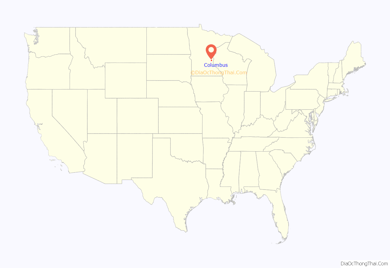
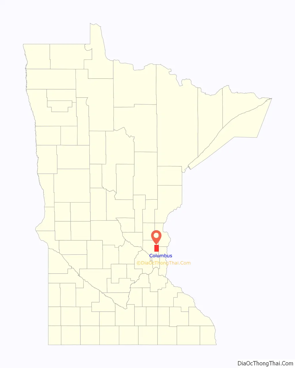
Columbus location map. Where is Columbus city?
History
The city was known as Columbus Township until September 21, 2006, when it was incorporated as the city of Columbus, in response to concerns that the adjacent city of Forest Lake was planning to annex portions of the township.
Mel Mettler, the first mayor of Columbus, was reelected in 2008. Jesse Preiner was elected mayor in 2019.
Running Aces Harness Park, a 5/8 mile harness horse racing track, opened in Columbus in April 2008.
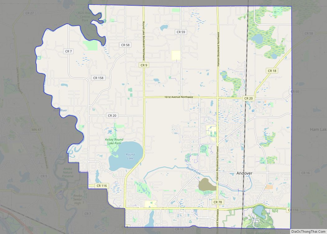
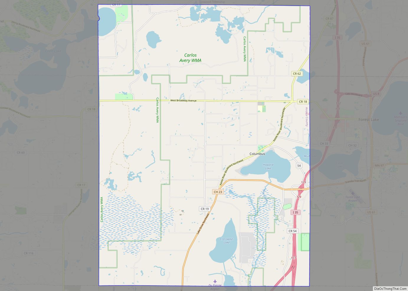
Columbus Road Map
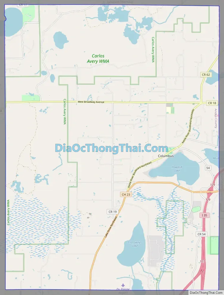
Columbus city Satellite Map

Geography
According to the United States Census Bureau, the city has an area of 47.76 square miles (123.70 km), of which 44.92 square miles (116.34 km) is land and 2.84 square miles (7.36 km) is water.
Anoka County Roads 18, 19, 23, 54, and 62 are the main routes in the community. Interstate 35 splits into Interstates 35E and 35W within the southeast corner of Columbus. The junction is commonly known as the Forest Lake Split, after the city to the immediate east.
Rice Creek flows through Columbus. Carlos Avery Wildlife Area is in the north-central and west-central parts of the city.
Nearby places include Forest Lake, Lino Lakes, Ham Lake, East Bethel, and Wyoming.
See also
Map of Minnesota State and its subdivision:- Aitkin
- Anoka
- Becker
- Beltrami
- Benton
- Big Stone
- Blue Earth
- Brown
- Carlton
- Carver
- Cass
- Chippewa
- Chisago
- Clay
- Clearwater
- Cook
- Cottonwood
- Crow Wing
- Dakota
- Dodge
- Douglas
- Faribault
- Fillmore
- Freeborn
- Goodhue
- Grant
- Hennepin
- Houston
- Hubbard
- Isanti
- Itasca
- Jackson
- Kanabec
- Kandiyohi
- Kittson
- Koochiching
- Lac qui Parle
- Lake
- Lake of the Woods
- Lake Superior
- Le Sueur
- Lincoln
- Lyon
- Mahnomen
- Marshall
- Martin
- McLeod
- Meeker
- Mille Lacs
- Morrison
- Mower
- Murray
- Nicollet
- Nobles
- Norman
- Olmsted
- Otter Tail
- Pennington
- Pine
- Pipestone
- Polk
- Pope
- Ramsey
- Red Lake
- Redwood
- Renville
- Rice
- Rock
- Roseau
- Saint Louis
- Scott
- Sherburne
- Sibley
- Stearns
- Steele
- Stevens
- Swift
- Todd
- Traverse
- Wabasha
- Wadena
- Waseca
- Washington
- Watonwan
- Wilkin
- Winona
- Wright
- Yellow Medicine
- Alabama
- Alaska
- Arizona
- Arkansas
- California
- Colorado
- Connecticut
- Delaware
- District of Columbia
- Florida
- Georgia
- Hawaii
- Idaho
- Illinois
- Indiana
- Iowa
- Kansas
- Kentucky
- Louisiana
- Maine
- Maryland
- Massachusetts
- Michigan
- Minnesota
- Mississippi
- Missouri
- Montana
- Nebraska
- Nevada
- New Hampshire
- New Jersey
- New Mexico
- New York
- North Carolina
- North Dakota
- Ohio
- Oklahoma
- Oregon
- Pennsylvania
- Rhode Island
- South Carolina
- South Dakota
- Tennessee
- Texas
- Utah
- Vermont
- Virginia
- Washington
- West Virginia
- Wisconsin
- Wyoming