Miesville (/ˈmiːzvɪl/ MEEZ-vil) is a city in Dakota County, Minnesota, United States. The population was 125 at the 2010 census.
U.S. Highway 61 serves as a main route in the community. Minnesota Highways 20, 50, and 316 are nearby.
Miesville is home to an amateur baseball team, the Miesville Mudhens, which participate in Town Team Baseball.
| Name: | Miesville city |
|---|---|
| LSAD Code: | 25 |
| LSAD Description: | city (suffix) |
| State: | Minnesota |
| County: | Dakota County |
| Elevation: | 935 ft (285 m) |
| Total Area: | 1.75 sq mi (4.52 km²) |
| Land Area: | 1.75 sq mi (4.52 km²) |
| Water Area: | 0.00 sq mi (0.00 km²) |
| Total Population: | 138 |
| Population Density: | 78.99/sq mi (30.50/km²) |
| Area code: | 651 |
| FIPS code: | 2742092 |
| GNISfeature ID: | 0647830 |
Online Interactive Map
Click on ![]() to view map in "full screen" mode.
to view map in "full screen" mode.
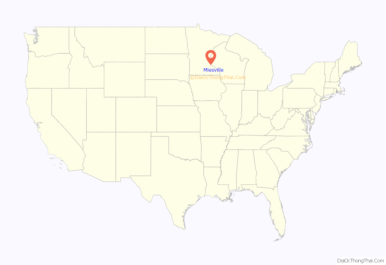
Miesville location map. Where is Miesville city?
History
Miesville was founded in 1874 by John Mies, and named for him. A post office called Miesville was established in 1884, and remained in operation until 1903.
John Mies built a saloon, restaurant and boarding house in Miesville in 1874. The building became a grocery store, saloon and post office in 1888 and became the Kings Restaurant in the 1980s.
The Saint Joseph Catholic Church of Douglas was founded in the Spring of 1873 in what became Miesville. The first Saint Joseph Catholic Church building was erected in 1907 but struck by lightning on August 27, 1913. The church was rebuilt and dedicated on October 15, 1914. The congregation has been historically a mixture of Irish and German with an occasional Scandinavian convert allowed in.
Baseball has been played in Miesville since the 1920s. The name of the team has been the Mudhens since 1948.
Miesville Road Map
Miesville city Satellite Map
Geography
According to the United States Census Bureau, the city has a total area of 1.80 square miles (4.66 km), all land.
Miesville is located in the southeast part of Douglas Township.
The Miesville Ravine Park Reserve is located near Miesville at the confluence of Trout Brook and the Cannon River.
See also
Map of Minnesota State and its subdivision:- Aitkin
- Anoka
- Becker
- Beltrami
- Benton
- Big Stone
- Blue Earth
- Brown
- Carlton
- Carver
- Cass
- Chippewa
- Chisago
- Clay
- Clearwater
- Cook
- Cottonwood
- Crow Wing
- Dakota
- Dodge
- Douglas
- Faribault
- Fillmore
- Freeborn
- Goodhue
- Grant
- Hennepin
- Houston
- Hubbard
- Isanti
- Itasca
- Jackson
- Kanabec
- Kandiyohi
- Kittson
- Koochiching
- Lac qui Parle
- Lake
- Lake of the Woods
- Lake Superior
- Le Sueur
- Lincoln
- Lyon
- Mahnomen
- Marshall
- Martin
- McLeod
- Meeker
- Mille Lacs
- Morrison
- Mower
- Murray
- Nicollet
- Nobles
- Norman
- Olmsted
- Otter Tail
- Pennington
- Pine
- Pipestone
- Polk
- Pope
- Ramsey
- Red Lake
- Redwood
- Renville
- Rice
- Rock
- Roseau
- Saint Louis
- Scott
- Sherburne
- Sibley
- Stearns
- Steele
- Stevens
- Swift
- Todd
- Traverse
- Wabasha
- Wadena
- Waseca
- Washington
- Watonwan
- Wilkin
- Winona
- Wright
- Yellow Medicine
- Alabama
- Alaska
- Arizona
- Arkansas
- California
- Colorado
- Connecticut
- Delaware
- District of Columbia
- Florida
- Georgia
- Hawaii
- Idaho
- Illinois
- Indiana
- Iowa
- Kansas
- Kentucky
- Louisiana
- Maine
- Maryland
- Massachusetts
- Michigan
- Minnesota
- Mississippi
- Missouri
- Montana
- Nebraska
- Nevada
- New Hampshire
- New Jersey
- New Mexico
- New York
- North Carolina
- North Dakota
- Ohio
- Oklahoma
- Oregon
- Pennsylvania
- Rhode Island
- South Carolina
- South Dakota
- Tennessee
- Texas
- Utah
- Vermont
- Virginia
- Washington
- West Virginia
- Wisconsin
- Wyoming


