Sunfish Lake is a city in Dakota County, Minnesota, United States. The population was 521 at the 2010 census. First incorporated as a village in 1958, the city’s goal has been to maintain a rural atmosphere, with large lot size and as little disturbance of the natural environment as possible.
| Name: | Sunfish Lake city |
|---|---|
| LSAD Code: | 25 |
| LSAD Description: | city (suffix) |
| State: | Minnesota |
| County: | Dakota County |
| Elevation: | 971 ft (296 m) |
| Total Area: | 1.67 sq mi (4.32 km²) |
| Land Area: | 1.50 sq mi (3.88 km²) |
| Water Area: | 0.17 sq mi (0.43 km²) |
| Total Population: | 522 |
| Population Density: | 348.23/sq mi (134.45/km²) |
| ZIP code: | 55077, 55118 |
| Area code: | 651 |
| FIPS code: | 2763544 |
| GNISfeature ID: | 0652818 |
| Website: | www.sunfishlake.org |
Online Interactive Map
Click on ![]() to view map in "full screen" mode.
to view map in "full screen" mode.
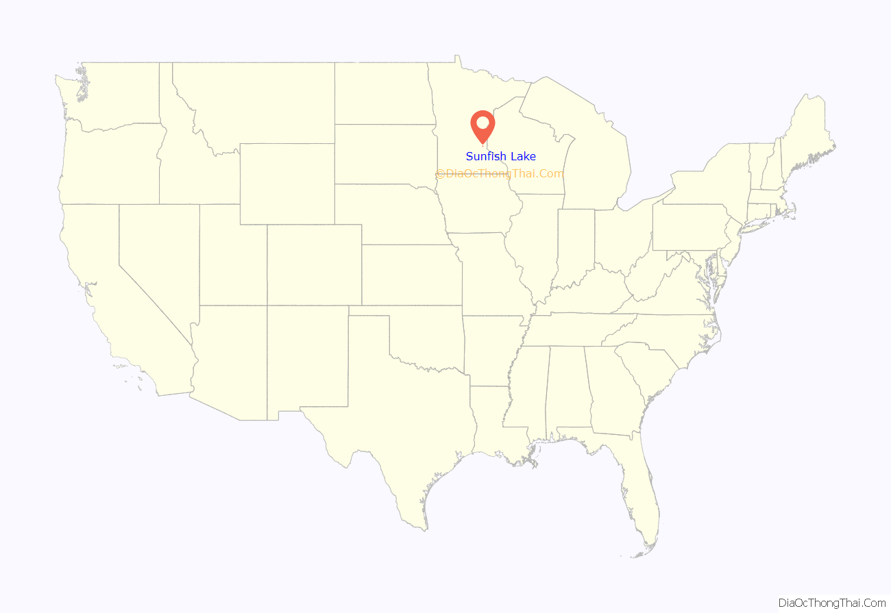
Sunfish Lake location map. Where is Sunfish Lake city?
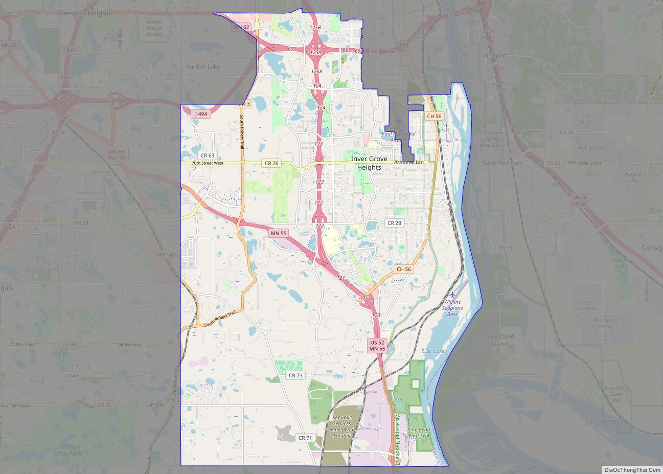
Sunfish Lake Road Map
Sunfish Lake city Satellite Map
Geography
According to the United States Census Bureau, the city has a total area of 1.69 square miles (4.38 km), of which 1.52 square miles (3.94 km) is land and 0.17 square miles (0.44 km) is water.
The city is bordered by Highways 62 to the north, 3 to the east, 60th Street West/Peiper Road to the south and Delaware Avenue to the west. I-494 runs through the city with an exit at 3.
Native vegetation based on NRCS soils information shows approximately two thirds forest soils (light blue, green and dark green), less than 10% savanna soils (red and red with blue stripes) and about 20% prairie (yellow) and wet prairie (light yellow). Most of the city is heavily wooded, on moraine topography with many slopes and wetlands and three small private lakes – Hornbeam Lake, Horseshoe Lake, and the eponymous Sunfish Lake, which was formerly known as Lake Thereau by the early French settlers of the area. For new construction, the minimum lot size is 2.5 acres (10,000 m) of buildable land to keep with the city’s goal of maintaining a rural atmosphere.
See also
Map of Minnesota State and its subdivision:- Aitkin
- Anoka
- Becker
- Beltrami
- Benton
- Big Stone
- Blue Earth
- Brown
- Carlton
- Carver
- Cass
- Chippewa
- Chisago
- Clay
- Clearwater
- Cook
- Cottonwood
- Crow Wing
- Dakota
- Dodge
- Douglas
- Faribault
- Fillmore
- Freeborn
- Goodhue
- Grant
- Hennepin
- Houston
- Hubbard
- Isanti
- Itasca
- Jackson
- Kanabec
- Kandiyohi
- Kittson
- Koochiching
- Lac qui Parle
- Lake
- Lake of the Woods
- Lake Superior
- Le Sueur
- Lincoln
- Lyon
- Mahnomen
- Marshall
- Martin
- McLeod
- Meeker
- Mille Lacs
- Morrison
- Mower
- Murray
- Nicollet
- Nobles
- Norman
- Olmsted
- Otter Tail
- Pennington
- Pine
- Pipestone
- Polk
- Pope
- Ramsey
- Red Lake
- Redwood
- Renville
- Rice
- Rock
- Roseau
- Saint Louis
- Scott
- Sherburne
- Sibley
- Stearns
- Steele
- Stevens
- Swift
- Todd
- Traverse
- Wabasha
- Wadena
- Waseca
- Washington
- Watonwan
- Wilkin
- Winona
- Wright
- Yellow Medicine
- Alabama
- Alaska
- Arizona
- Arkansas
- California
- Colorado
- Connecticut
- Delaware
- District of Columbia
- Florida
- Georgia
- Hawaii
- Idaho
- Illinois
- Indiana
- Iowa
- Kansas
- Kentucky
- Louisiana
- Maine
- Maryland
- Massachusetts
- Michigan
- Minnesota
- Mississippi
- Missouri
- Montana
- Nebraska
- Nevada
- New Hampshire
- New Jersey
- New Mexico
- New York
- North Carolina
- North Dakota
- Ohio
- Oklahoma
- Oregon
- Pennsylvania
- Rhode Island
- South Carolina
- South Dakota
- Tennessee
- Texas
- Utah
- Vermont
- Virginia
- Washington
- West Virginia
- Wisconsin
- Wyoming


