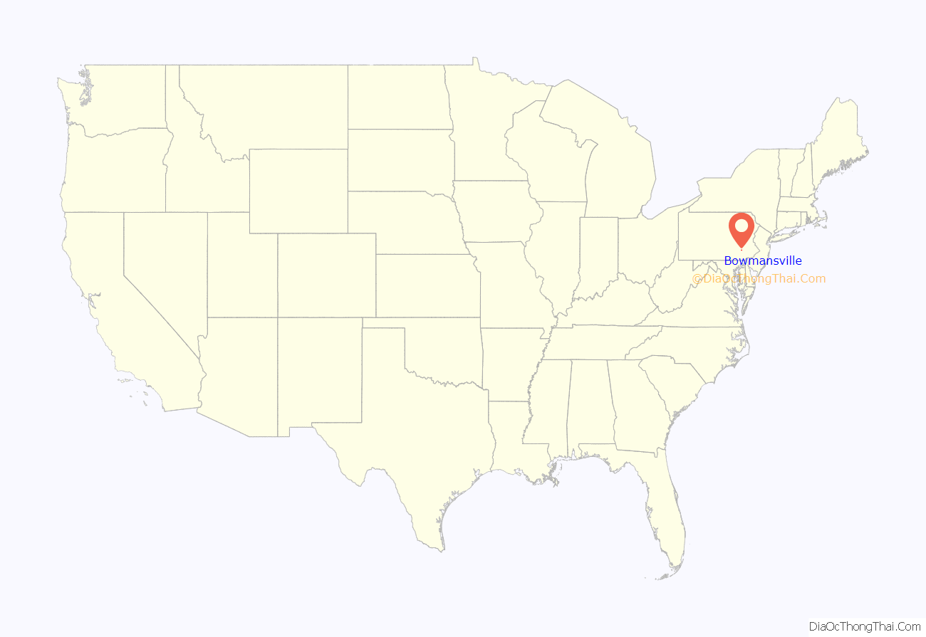
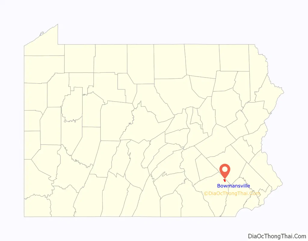
Bowmansville is an unincorporated community and census-designated place (CDP) in Brecknock Township, Lancaster County, Pennsylvania, United States. Bowmansville is home to a Pennsylvania Turnpike service plaza. The population was 2,077 as of the 2010 census.
| Name: | Bowmansville CDP |
|---|---|
| LSAD Code: | 57 |
| LSAD Description: | CDP (suffix) |
| State: | Pennsylvania |
| County: | Lancaster County |
| Founded: | 1820 |
| Elevation: | 434 ft (132 m) |
| Total Area: | 2.15 sq mi (5.56 km²) |
| Land Area: | 2.13 sq mi (5.53 km²) |
| Water Area: | 0.01 sq mi (0.03 km²) |
| Total Population: | 2,989 |
| Population Density: | 1,400.66/sq mi (540.80/km²) |
| ZIP code: | 17507 |
| Area code: | 717 |
| FIPS code: | 4207896 |
| GNISfeature ID: | 1170075 |
Online Interactive Map
Click on ![]() to view map in "full screen" mode.
to view map in "full screen" mode.
Bowmansville location map. Where is Bowmansville CDP?
History
Bowmansville was named for Samuel Bowman, an early settler.
The Bowmansville Roller Mill and John B. Good House are listed on the National Register of Historic Places.
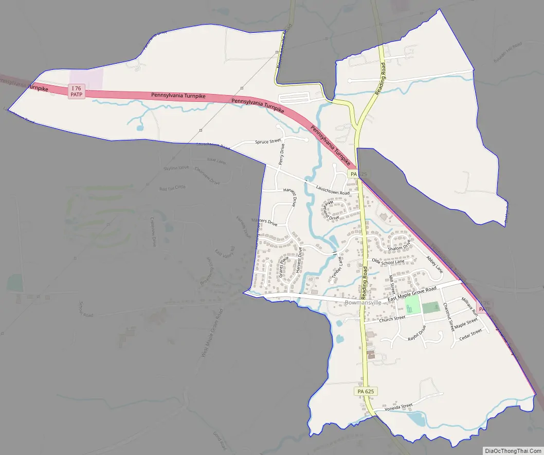
Bowmansville Road Map
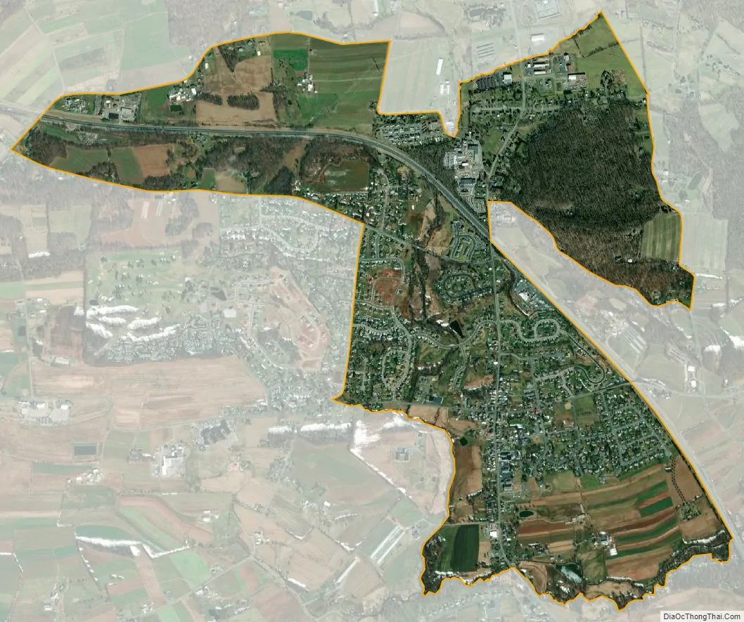
Bowmansville city Satellite Map
Geography
Bowmansville is in northeastern Lancaster County, near the center of Brecknock Township. The Pennsylvania Turnpike (Interstate 76) passes through the community, but with no direct access. The closest access is at Exit 286 (Reading, 4 miles (6 km) to the west near Swartzville. The Morgantown interchange (Exit 293) is 10 miles (16 km) to the east. Pennsylvania Route 625 (Reading Road) passes through the center of Bowmansville, leading north 12 miles (19 km) to Reading and south 7 miles (11 km) to East Earl. Lancaster, the county seat, is 21 miles (34 km) to the southwest.
According to the U.S. Census Bureau, the Bowmansville CDP has a total area of 1.9 square miles (4.9 km), of which 0.01 square miles (0.03 km), or 0.57%, are water. The community is drained by Muddy Creek, a west-flowing tributary of the Conestoga River, part of the Susquehanna River watershed.
See also
Map of Pennsylvania State and its subdivision:- Adams
- Allegheny
- Armstrong
- Beaver
- Bedford
- Berks
- Blair
- Bradford
- Bucks
- Butler
- Cambria
- Cameron
- Carbon
- Centre
- Chester
- Clarion
- Clearfield
- Clinton
- Columbia
- Crawford
- Cumberland
- Dauphin
- Delaware
- Elk
- Erie
- Fayette
- Forest
- Franklin
- Fulton
- Greene
- Huntingdon
- Indiana
- Jefferson
- Juniata
- Lackawanna
- Lancaster
- Lawrence
- Lebanon
- Lehigh
- Luzerne
- Lycoming
- Mc Kean
- Mercer
- Mifflin
- Monroe
- Montgomery
- Montour
- Northampton
- Northumberland
- Perry
- Philadelphia
- Pike
- Potter
- Schuylkill
- Snyder
- Somerset
- Sullivan
- Susquehanna
- Tioga
- Union
- Venango
- Warren
- Washington
- Wayne
- Westmoreland
- Wyoming
- York
- Alabama
- Alaska
- Arizona
- Arkansas
- California
- Colorado
- Connecticut
- Delaware
- District of Columbia
- Florida
- Georgia
- Hawaii
- Idaho
- Illinois
- Indiana
- Iowa
- Kansas
- Kentucky
- Louisiana
- Maine
- Maryland
- Massachusetts
- Michigan
- Minnesota
- Mississippi
- Missouri
- Montana
- Nebraska
- Nevada
- New Hampshire
- New Jersey
- New Mexico
- New York
- North Carolina
- North Dakota
- Ohio
- Oklahoma
- Oregon
- Pennsylvania
- Rhode Island
- South Carolina
- South Dakota
- Tennessee
- Texas
- Utah
- Vermont
- Virginia
- Washington
- West Virginia
- Wisconsin
- Wyoming


