Coplay is a borough in Lehigh County, Pennsylvania. Coplay’s population was 3,348 at the 2020 census. It is located six miles (10 km) northwest of Allentown. The borough is part of the Lehigh Valley metropolitan area, which had a population of 861,899 and was the 68th-most populous metropolitan area in the U.S. as of the 2020 census.
| Name: | Coplay borough |
|---|---|
| LSAD Code: | 21 |
| LSAD Description: | borough (suffix) |
| State: | Pennsylvania |
| County: | Lehigh County |
| Elevation: | 400 ft (100 m) |
| Land Area: | 0.61 sq mi (1.58 km²) |
| Water Area: | 0.02 sq mi (0.04 km²) |
| Population Density: | 5,488.52/sq mi (2,118.10/km²) |
| ZIP code: | 18037 |
| FIPS code: | 4216128 |
| Website: | www.coplayborough.org |
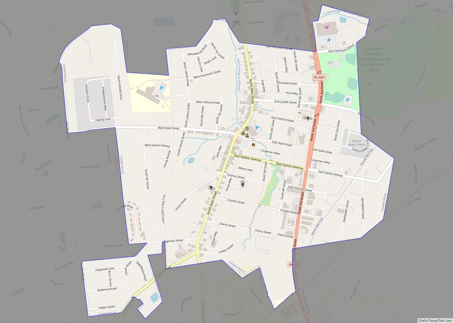
Online Interactive Map
Click on ![]() to view map in "full screen" mode.
to view map in "full screen" mode.
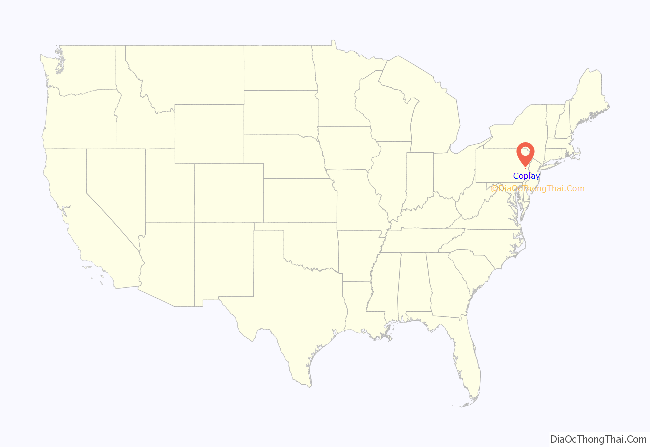
Coplay location map. Where is Coplay borough?
History
Coplay was part of the 400 acres (1.6 km) of land John Jacob Schreiber bought from the William Penn’s heirs in 1740. It was initially known as Schreibers and later was known as the Lehigh Valley, because of Lehigh Valley Iron Furnaces were located here. Lehigh Valley was then changed to Coplay, derived from “Kolapechka”, the son of the Indian chief Paxanosa, who lived at the head of the creek near Schnecksville. Coplay seceded from Whitehall Township in 1869 and was incorporated as a borough on April 7, 1869.
Coplay gradually changed from a farming area into an industrial community, starting with the founding of the Thomas Iron Company, which attracted laborers and built homes for them. When the Iron Company was liquidated, other industries gradually came to Coplay, including the Cement Mill, the Silk Mill, the Cigar Factory, and Knitting Mill. Coplay became a melting pot of many nationalities. The Pennsylvania Dutch and Germans were initially drawn to the area for its agricultural promise. The growth of the iron industry attracted immigrants from Ireland. Then, in the early 1900s, the Cement Mills attracted immigrants from Austria, Hungary, Czechoslovakia, Poland, and Ukraine.
On April 7, 1969, the borough celebrated its centennial anniversary. A celebration was held from June 15–21 in the town. In 1980, in recognition of historical value, Coplay Cement Company Kilns was added to the National Register of Historic Places.
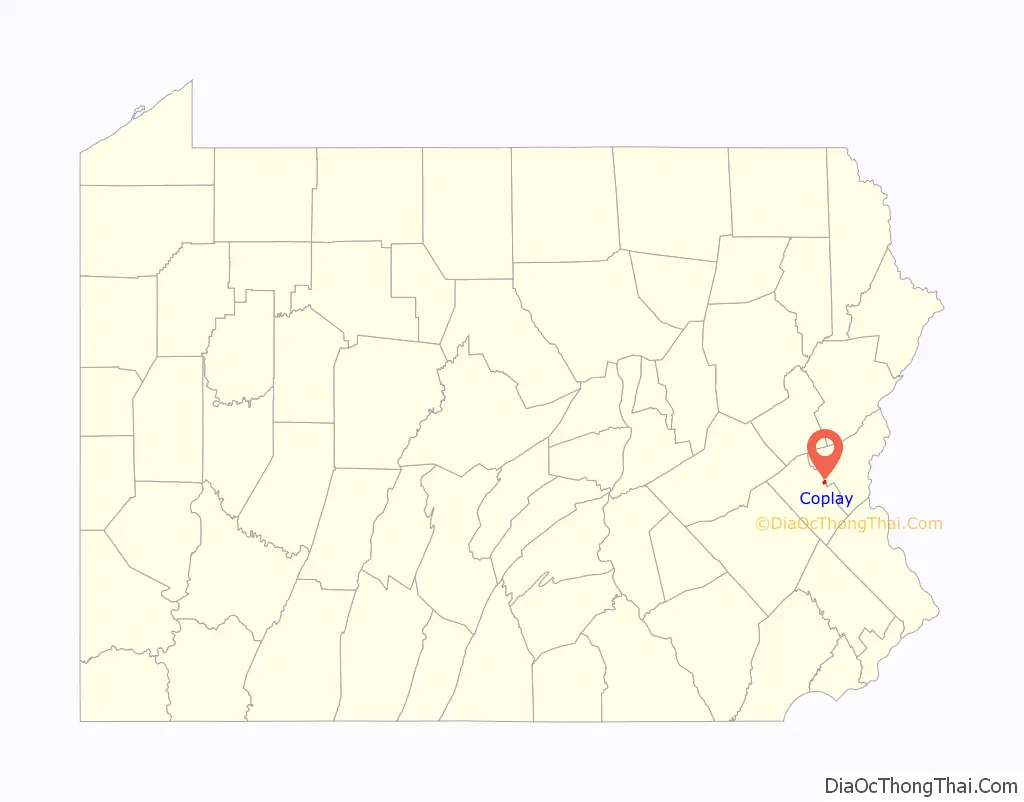
Coplay Road Map
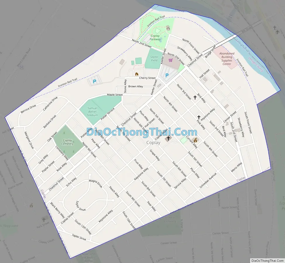
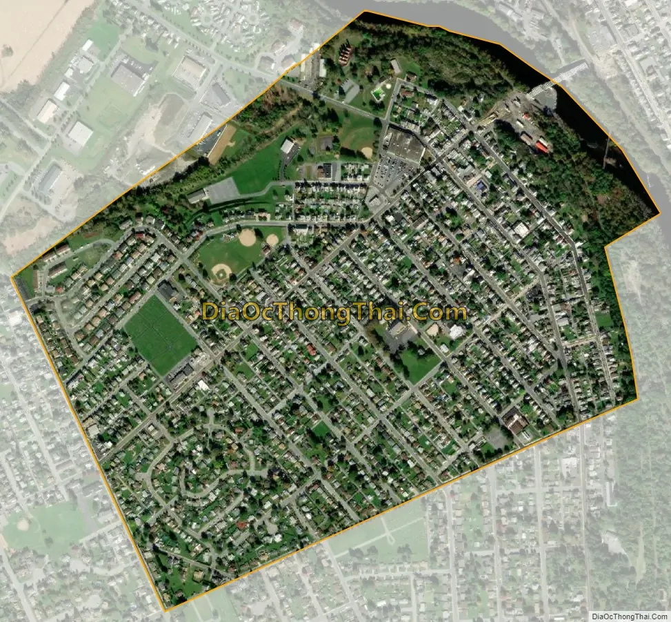
Coplay city Satellite Map
Geography
Coplay is located at 40°40′14″N 75°29′43″W / 40.67056°N 75.49528°W / 40.67056; -75.49528 (40.670521, -75.495395). According to the U.S. Census Bureau, the borough has a total area of 0.6 square miles (1.6 km), of which 0.6 square miles (1.6 km) is land and 0.04 square miles (0.10 km) (3.08%) is water. Coplay is situated along the Lehigh River, approximately 5 miles (8.0 km) north of Allentown.
See also
Map of Pennsylvania State and its subdivision:- Adams
- Allegheny
- Armstrong
- Beaver
- Bedford
- Berks
- Blair
- Bradford
- Bucks
- Butler
- Cambria
- Cameron
- Carbon
- Centre
- Chester
- Clarion
- Clearfield
- Clinton
- Columbia
- Crawford
- Cumberland
- Dauphin
- Delaware
- Elk
- Erie
- Fayette
- Forest
- Franklin
- Fulton
- Greene
- Huntingdon
- Indiana
- Jefferson
- Juniata
- Lackawanna
- Lancaster
- Lawrence
- Lebanon
- Lehigh
- Luzerne
- Lycoming
- Mc Kean
- Mercer
- Mifflin
- Monroe
- Montgomery
- Montour
- Northampton
- Northumberland
- Perry
- Philadelphia
- Pike
- Potter
- Schuylkill
- Snyder
- Somerset
- Sullivan
- Susquehanna
- Tioga
- Union
- Venango
- Warren
- Washington
- Wayne
- Westmoreland
- Wyoming
- York
- Alabama
- Alaska
- Arizona
- Arkansas
- California
- Colorado
- Connecticut
- Delaware
- District of Columbia
- Florida
- Georgia
- Hawaii
- Idaho
- Illinois
- Indiana
- Iowa
- Kansas
- Kentucky
- Louisiana
- Maine
- Maryland
- Massachusetts
- Michigan
- Minnesota
- Mississippi
- Missouri
- Montana
- Nebraska
- Nevada
- New Hampshire
- New Jersey
- New Mexico
- New York
- North Carolina
- North Dakota
- Ohio
- Oklahoma
- Oregon
- Pennsylvania
- Rhode Island
- South Carolina
- South Dakota
- Tennessee
- Texas
- Utah
- Vermont
- Virginia
- Washington
- West Virginia
- Wisconsin
- Wyoming