Emmaus (/ɛˈmeɪ.əs/ em-AY-əs) is a borough in Lehigh County, Pennsylvania. As of the 2020 U.S. census, it had a population of 11,652. Emmaus is located in the Lehigh Valley, the third-largest metropolitan area in Pennsylvania and 68th-largest metropolitan area in the nation.
In 2007 and again in 2009, Emmaus was listed as one of the top 100 “Best Places to Live” in the United States by Money magazine.
Emmaus is located 5 miles (8.0 km) south of Allentown, 53.4 miles (85.9 km) north of Philadelphia, and 91.6 miles (147.4 km) west of New York City.
| Name: | Emmaus borough |
|---|---|
| LSAD Code: | 21 |
| LSAD Description: | borough (suffix) |
| State: | Pennsylvania |
| County: | Lehigh County |
| Elevation: | 436 ft (133 m) |
| Land Area: | 2.90 sq mi (7.50 km²) |
| Water Area: | 0.00 sq mi (0.01 km²) |
| Population Density: | 4,024.87/sq mi (1,553.97/km²) |
| Area code: | 610 |
| FIPS code: | 4223584 |
| Website: | www.borough.emmaus.pa.us |
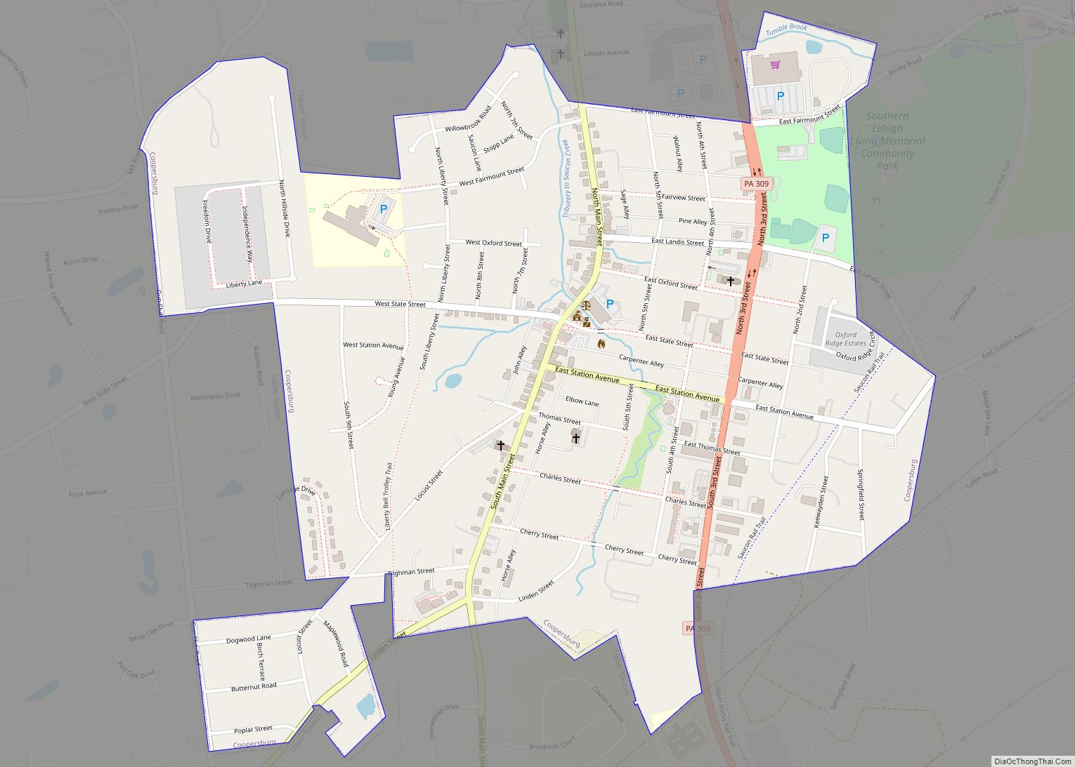
Online Interactive Map
Click on ![]() to view map in "full screen" mode.
to view map in "full screen" mode.
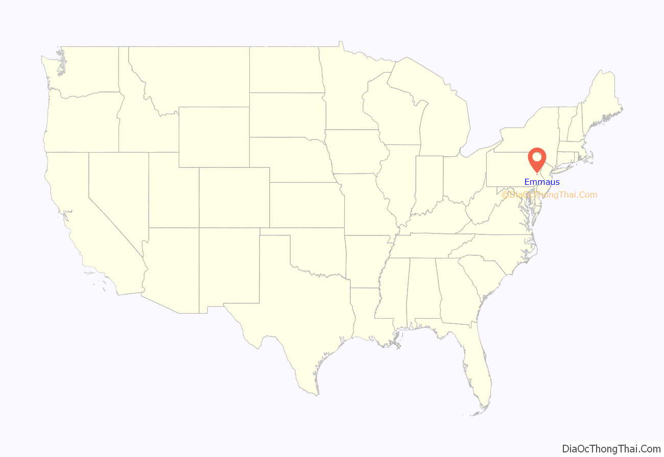
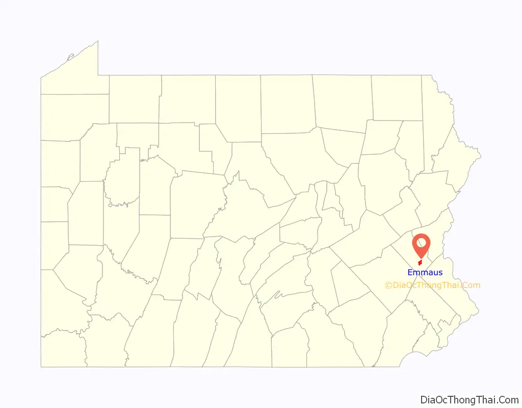
Emmaus location map. Where is Emmaus borough?
History
18th century
Emmaus was settled in the early 1700s during the colonial era by German Protestants of the Lutheran and Reformed faiths who had fled religious persecution in Europe. Its earliest German settlers were primarily farmers. Three historic Emmaus residential structures built during the 18th and 19th centuries, each still standing, have been added to the National Register of Historic Places. Shelter House, constructed in 1734 by Pennsylvania Dutch settlers, is the oldest building structure in Emmaus and the oldest continuously occupied structure in the Lehigh Valley. The other two historic residences are The 1803 House, built in 1803 by American Revolutionary patriot militia member Jacob Ehrenhardt, Jr., and Kemmerer House, a farmstead built between 1840 and 1850.
In 1741, the land on which present-day Emmaus is located was donated to the Moravian Church by Sebastian Heinrich Knauss and Jacob Ehrenhardt for the purpose of creating a closed faith-based village. The village was originally named Salzburg. At the time of its founding in 1759, Emmaus was one of the four leading Moravian communities in the Northeastern United States; Bethlehem, Lititz and Nazareth, each in Pennsylvania, were the others.
Two years later, in 1761, Moravian Bishop August Gottlieb Spangenberg announced the town’s new name would be Emmaus, saying “Now here we build a village small; toward its completion we give all. Here, too, our hearts within shall flame; Emmaus then shall be its name.” For approximately 100 years, until the mid-19th century, Emmaus was a closed community of the Moravian Church. Emmaus was named for the Biblical village of Emmaus, where, according to the Bible’s Gospel of Luke, Jesus was seen by his disciples Luke and Cleopas in what is known as his Road to Emmaus appearance following his crucifixion and resurrection.
19th century
From its founding in 1759 until 1830, the settlement’s name was spelled “Emmaus.” From 1830 until 1938, however, the community used the Pennsylvania Dutch spelling of the name, “Emaus,” with a line above the “m” to indicate a double letter. As English began emerging as the prevalent language in Pennsylvania, however, the line often was often omitted, leading to confusion about the correct spelling. In 1938, the local Rotary Club circulated petitions in support of changing the spelling to “Emmaus,” and its spelling was changed to match the English version of the Bible’s King James Version. Despite the 1938 spelling change, a major borough thoroughfare, Emaus Avenue, continues to retain the pre-1938 spelling.
Emmaus and the metropolitan Allentown area contributed considerable numbers of volunteers to the Union Army during the American Civil War. Volunteers from the region comprised roughly 70 percent of the 47th Pennsylvania Infantry Regiment, which mobilized after the April 1861 fall of Fort Sumter, engaging Confederate forces throughout southern states through the Civil War’s conclusion. On June 7, 1930, Emmaus erected the Emaus Honor Roll, using the borough’s initial spelling, in a mini-park between Third and Fourth Streets in honor of Emmaus residents who served in the 47th Regiment during the Civil War and those who later served in the Spanish–American War and World War I.
Iron ore was discovered in and near Emmaus in the 19th century. Beginning in 1850, the Donaldson Iron Company in Emmaus mined and processed iron ore and manufactured cast iron pipes and other iron-related products. In 1859, Reading Company constructed railroad lines through Emmaus, which are still functioning. The same year, the town was incorporated as a borough. In 1869, the town’s first blast furnace opened. Iron ore production fueled the town’s growth through the second half of the 19th century and early 20th century. During the 19th century, Emmaus was also a center of silk and cigar manufacturing.
20th and 21st centuries
In 1940, public census statistics showed that 6,731 people lived in Emmaus. The population of the borough has since nearly doubled to 11,467 as of the 2020 census. Housing construction has reached the borough line in all directions so significant continued population growth in the borough is unlikely. Outside the borough line, however, the local population continues to grow, particularly in neighboring Lower Macungie Township. Consequently, growth in the Emmaus ZIP Code continues to expand but not within its borough limits.
Emmaus Road Map
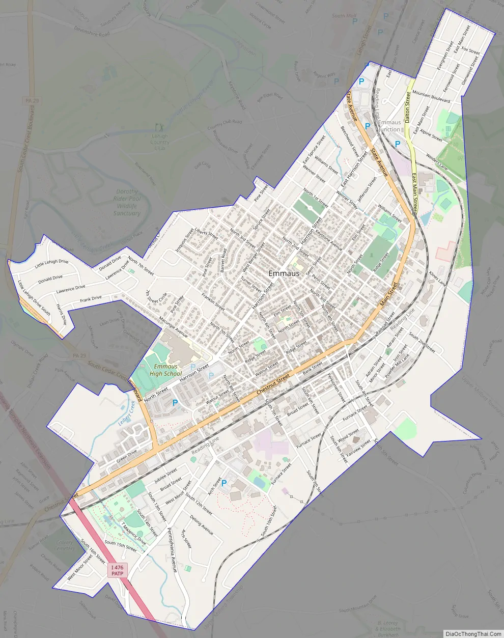
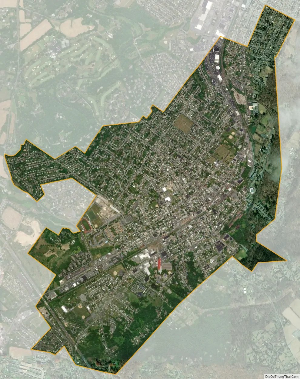
Emmaus city Satellite Map
Geography
According to the U.S. Census Bureau, the borough has a total area of 2.9 square miles (7.5 km), all land, though part of Little Lehigh Creek, a tributary of the Lehigh River, flows just outside the Emmaus border with Salisbury Township. Emmaus borders South Mountain, a large Appalachian mountain range. The town’s elevation is 436 feet above sea level. Emmaus is located at approximately 40°32′13″N 75°29′45″W / 40.53694°N 75.49583°W / 40.53694; -75.49583. It has a hot-summer humid continental climate (Dfa) and is in hardiness zone 6b. Average monthly temperatures in the downtown vicinity range from 28.9 °F in January to 73.5 °F in July.
See also
Map of Pennsylvania State and its subdivision:- Adams
- Allegheny
- Armstrong
- Beaver
- Bedford
- Berks
- Blair
- Bradford
- Bucks
- Butler
- Cambria
- Cameron
- Carbon
- Centre
- Chester
- Clarion
- Clearfield
- Clinton
- Columbia
- Crawford
- Cumberland
- Dauphin
- Delaware
- Elk
- Erie
- Fayette
- Forest
- Franklin
- Fulton
- Greene
- Huntingdon
- Indiana
- Jefferson
- Juniata
- Lackawanna
- Lancaster
- Lawrence
- Lebanon
- Lehigh
- Luzerne
- Lycoming
- Mc Kean
- Mercer
- Mifflin
- Monroe
- Montgomery
- Montour
- Northampton
- Northumberland
- Perry
- Philadelphia
- Pike
- Potter
- Schuylkill
- Snyder
- Somerset
- Sullivan
- Susquehanna
- Tioga
- Union
- Venango
- Warren
- Washington
- Wayne
- Westmoreland
- Wyoming
- York
- Alabama
- Alaska
- Arizona
- Arkansas
- California
- Colorado
- Connecticut
- Delaware
- District of Columbia
- Florida
- Georgia
- Hawaii
- Idaho
- Illinois
- Indiana
- Iowa
- Kansas
- Kentucky
- Louisiana
- Maine
- Maryland
- Massachusetts
- Michigan
- Minnesota
- Mississippi
- Missouri
- Montana
- Nebraska
- Nevada
- New Hampshire
- New Jersey
- New Mexico
- New York
- North Carolina
- North Dakota
- Ohio
- Oklahoma
- Oregon
- Pennsylvania
- Rhode Island
- South Carolina
- South Dakota
- Tennessee
- Texas
- Utah
- Vermont
- Virginia
- Washington
- West Virginia
- Wisconsin
- Wyoming