Midland is a borough located along the Ohio River in western Beaver County, Pennsylvania, United States. As of the 2020 census, the borough population was 2,430. It is part of the Pittsburgh metropolitan area. Founded in 1906, it was initially a company town surrounding the Crucible Steel Company’s Midland Works.
| Name: | Midland borough |
|---|---|
| LSAD Code: | 21 |
| LSAD Description: | borough (suffix) |
| State: | Pennsylvania |
| County: | Beaver County |
| Incorporated: | 1906 |
| Elevation: | 797 ft (243 m) |
| Total Area: | 1.99 sq mi (5.16 km²) |
| Land Area: | 1.81 sq mi (4.69 km²) |
| Water Area: | 0.18 sq mi (0.47 km²) |
| Total Population: | 2,433 |
| Population Density: | 1,344.94/sq mi (519.28/km²) |
| Area code: | 724 |
| FIPS code: | 4249184 |
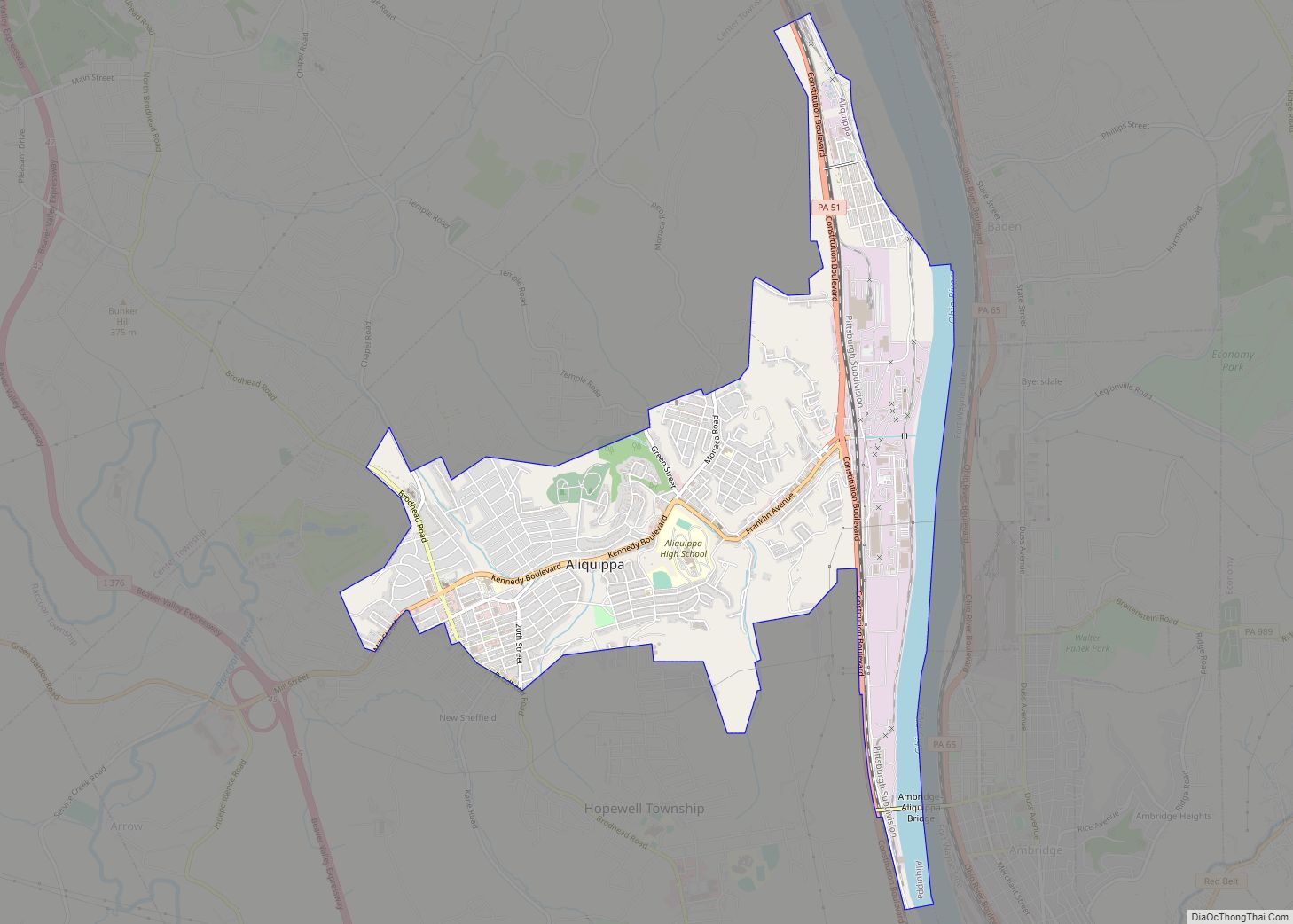
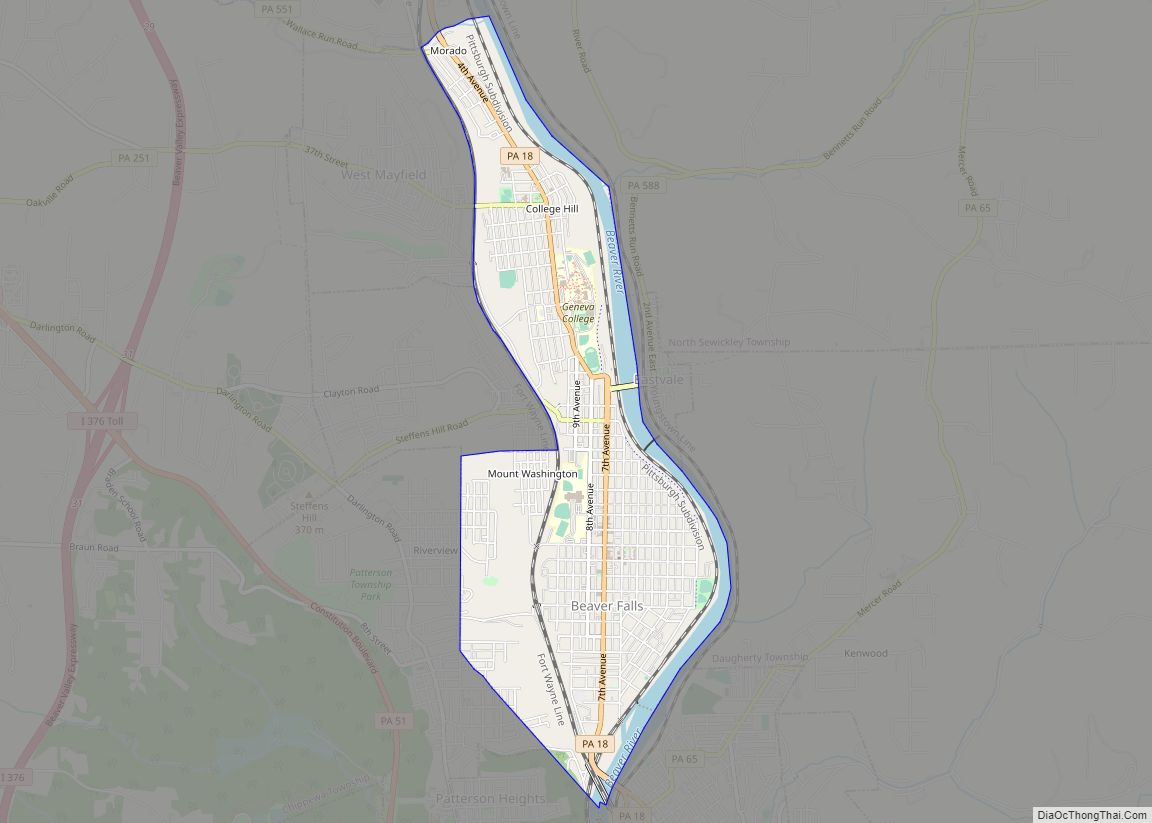
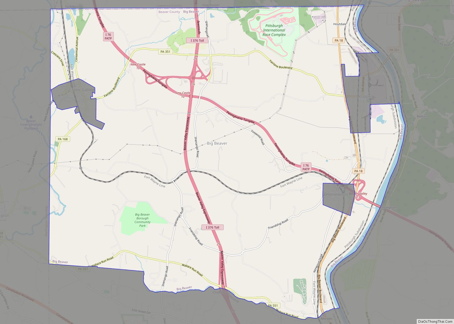
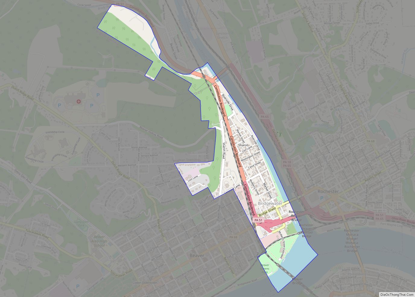
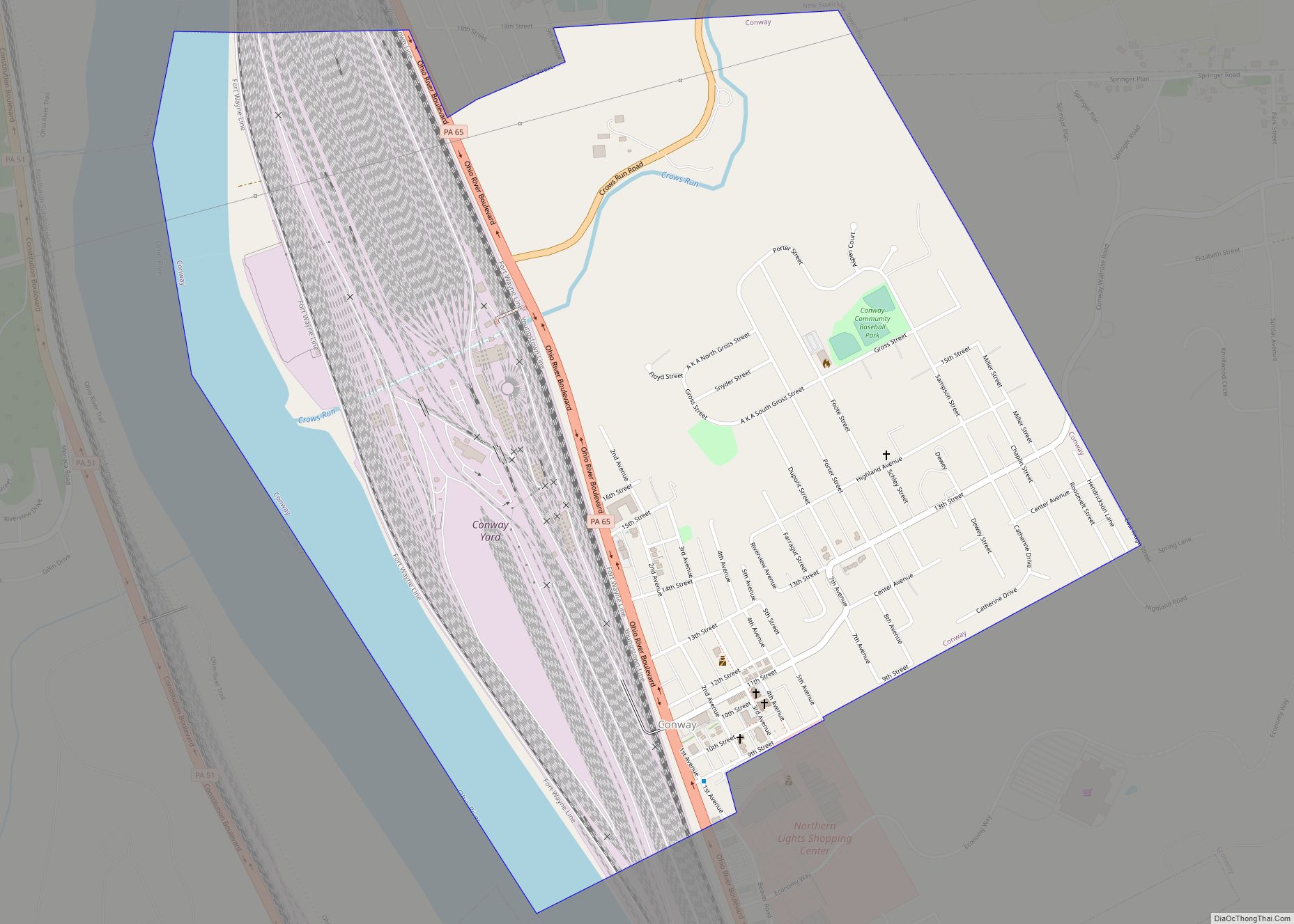
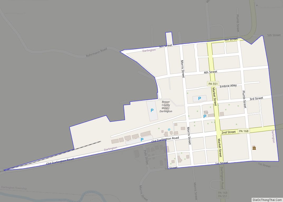
Online Interactive Map
Click on ![]() to view map in "full screen" mode.
to view map in "full screen" mode.
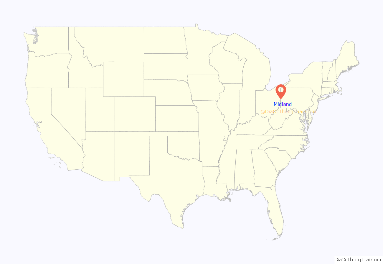
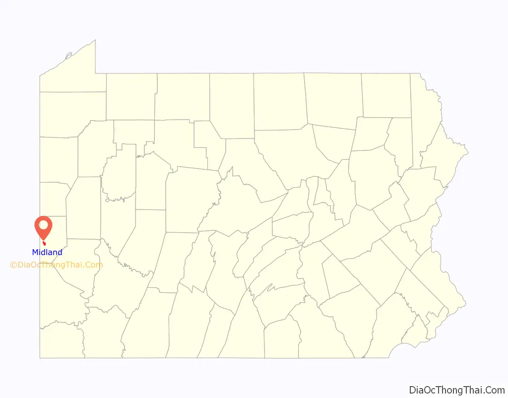
Midland location map. Where is Midland borough?
History
Native American petroglyphs exist in the area surrounding Midland, including on Babbs Island, the Little Beaver Creek, and Shippingport Bridge.
In 1905, Pittsburgh agent T.K. Miller purchased land on behalf of a group of industrialists who would form the Midland Steel Company and with it, the borough of Midland as a company town in 1906. Other companies would begin operations in the town as well.
In 1911, Midland Steel Company sold its operations to the Pittsburgh Crucible Steel Company, a division of the larger Crucible Steel Company of America. By the end of the First World War, Crucible employed 2,700 men.
The contraction of the American steel industry in the 1960s and 1970s forced layoffs at the Crucible plant and a decline in the borough’s population. During the 1980s, the American Iron and Steel Institute reported that more than 200,000 steelworkers in the U.S. had lost their jobs, and more than 400 mills and plant divisions were closing, including Crucible’s Midland plant. Jones & Laughlin Steel bought the Midland plant and merged with Republic Steel to form the LTV Steel Corporation, which went bankrupt in 2001, accelerating the decline of the borough’s economy.
Midland Road Map
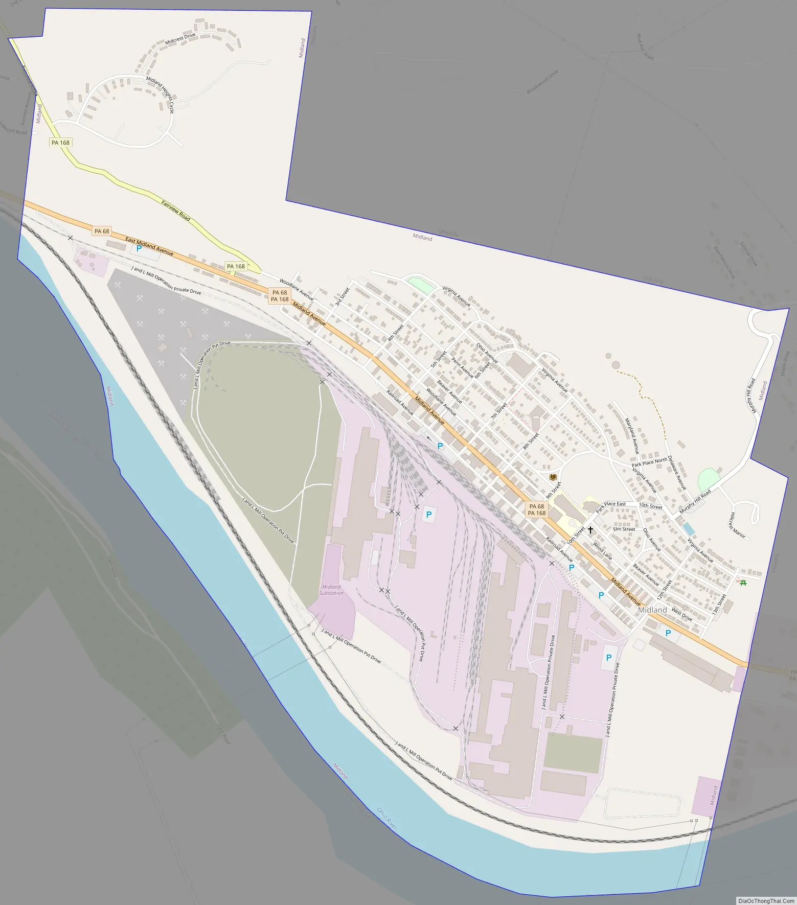
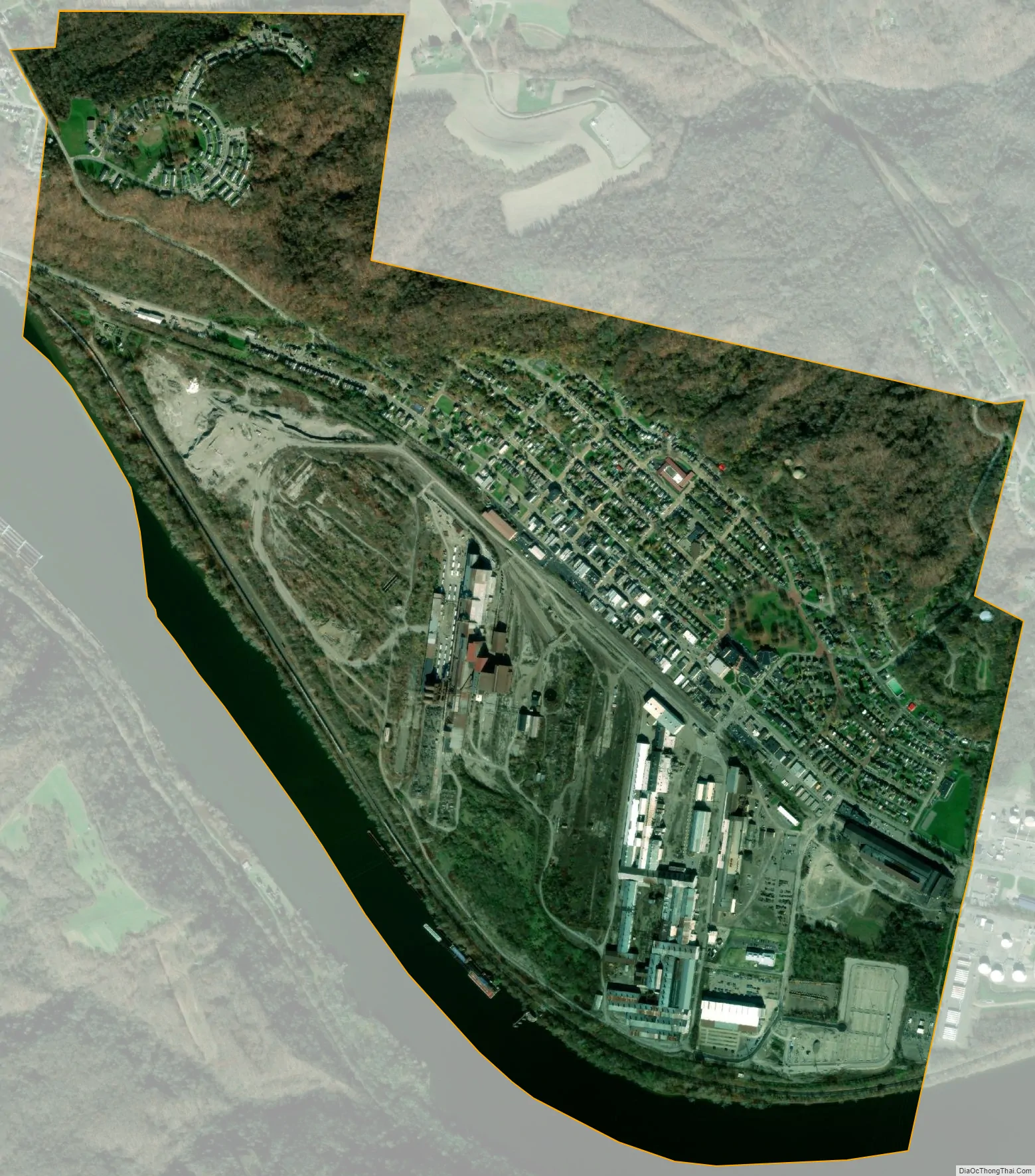
Midland city Satellite Map
Geography
Midland is located in western Beaver County at 40°38′18″N 80°27′9″W / 40.63833°N 80.45250°W / 40.63833; -80.45250 (40.638273, −80.452455). According to the United States Census Bureau, the borough has a total area of 2.0 square miles (5.2 km), of which 1.8 square miles (4.7 km) is land and 0.19 square miles (0.5 km), or 9.13%, is water.
Pennsylvania Route 68 (Midland Avenue) is the main street through the community, leading east into Industry and west to Glasgow and the Ohio border. Pennsylvania Route 168 joins PA-68 along Midland Avenue through the center of town, but splits off to the south to cross the Ohio River via the Shippingport Bridge, and climbs out of the river valley to the north via Fairview Road.
Surrounding and adjacent neighborhoods
Midland has two land borders, with Industry to the northeast and Ohioville to the northwest. Across the Ohio River to the southeast, Midland runs mostly adjacent with Greene Township with a short alignment with Shippingport to the southwest.
See also
Map of Pennsylvania State and its subdivision:- Adams
- Allegheny
- Armstrong
- Beaver
- Bedford
- Berks
- Blair
- Bradford
- Bucks
- Butler
- Cambria
- Cameron
- Carbon
- Centre
- Chester
- Clarion
- Clearfield
- Clinton
- Columbia
- Crawford
- Cumberland
- Dauphin
- Delaware
- Elk
- Erie
- Fayette
- Forest
- Franklin
- Fulton
- Greene
- Huntingdon
- Indiana
- Jefferson
- Juniata
- Lackawanna
- Lancaster
- Lawrence
- Lebanon
- Lehigh
- Luzerne
- Lycoming
- Mc Kean
- Mercer
- Mifflin
- Monroe
- Montgomery
- Montour
- Northampton
- Northumberland
- Perry
- Philadelphia
- Pike
- Potter
- Schuylkill
- Snyder
- Somerset
- Sullivan
- Susquehanna
- Tioga
- Union
- Venango
- Warren
- Washington
- Wayne
- Westmoreland
- Wyoming
- York
- Alabama
- Alaska
- Arizona
- Arkansas
- California
- Colorado
- Connecticut
- Delaware
- District of Columbia
- Florida
- Georgia
- Hawaii
- Idaho
- Illinois
- Indiana
- Iowa
- Kansas
- Kentucky
- Louisiana
- Maine
- Maryland
- Massachusetts
- Michigan
- Minnesota
- Mississippi
- Missouri
- Montana
- Nebraska
- Nevada
- New Hampshire
- New Jersey
- New Mexico
- New York
- North Carolina
- North Dakota
- Ohio
- Oklahoma
- Oregon
- Pennsylvania
- Rhode Island
- South Carolina
- South Dakota
- Tennessee
- Texas
- Utah
- Vermont
- Virginia
- Washington
- West Virginia
- Wisconsin
- Wyoming