Mount Joy is a borough in Lancaster County, Pennsylvania, United States. The population was 8,346 at the 2020 census, and an estimated 8,323 in 2021.
| Name: | Mount Joy borough |
|---|---|
| LSAD Code: | 21 |
| LSAD Description: | borough (suffix) |
| State: | Pennsylvania |
| County: | Lancaster County |
| Elevation: | 371 ft (113 m) |
| Total Area: | 2.43 sq mi (6.28 km²) |
| Land Area: | 2.41 sq mi (6.24 km²) |
| Water Area: | 0.02 sq mi (0.04 km²) |
| Total Population: | 8,325 |
| Population Density: | 3,452.92/sq mi (1,333.22/km²) |
| ZIP code: | 17552 |
| FIPS code: | 4251656 |
| Website: | www.mountjoyborough.com |
Online Interactive Map
Click on ![]() to view map in "full screen" mode.
to view map in "full screen" mode.
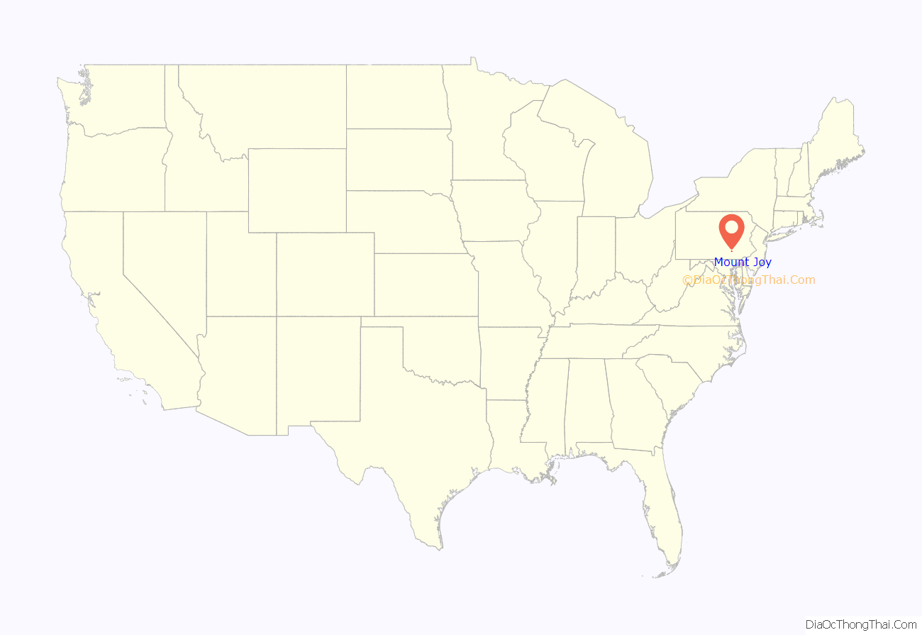
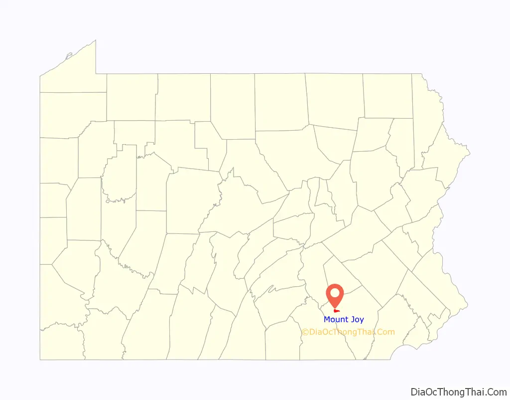
Mount Joy location map. Where is Mount Joy borough?
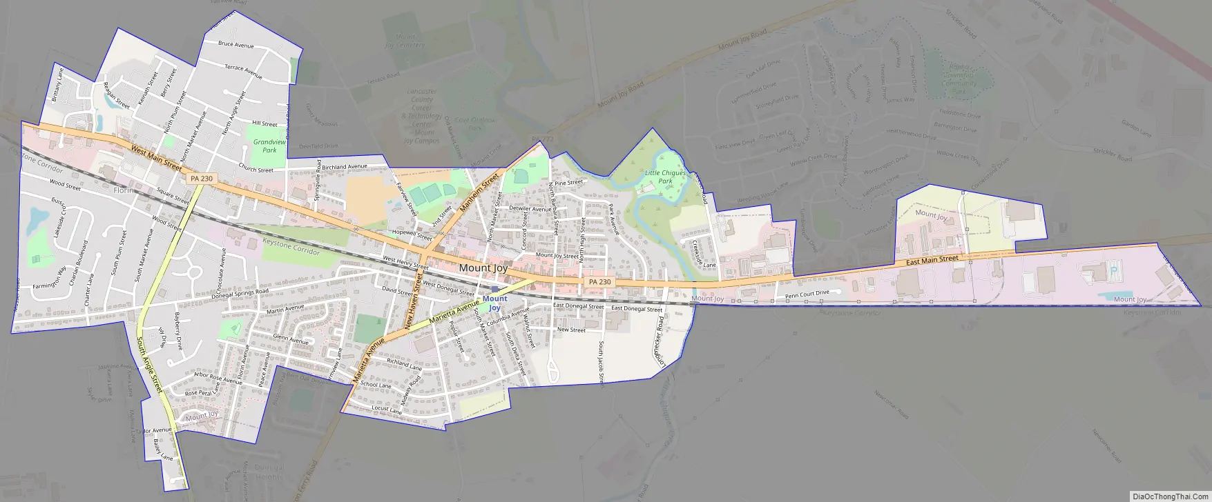
Mount Joy Road Map
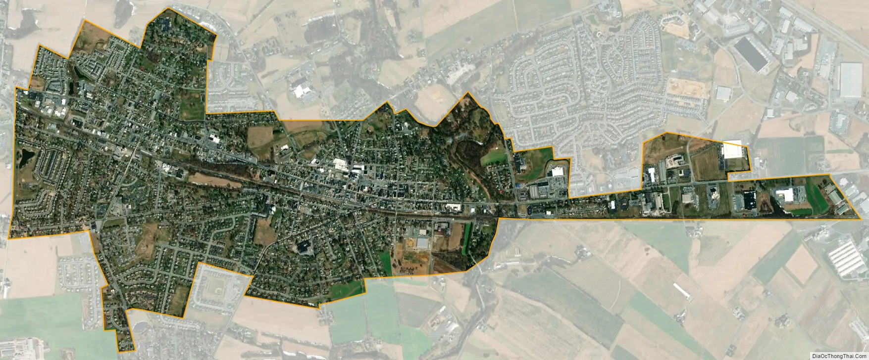
Mount Joy city Satellite Map
Geography
Mount Joy is located in northwestern Lancaster County at 40°6′36″N 76°30′40″W / 40.11000°N 76.51111°W / 40.11000; -76.51111 (40.109895, -76.510977). Pennsylvania Route 230 passes through the center of town as Main Street, leading southeast 12 miles (19 km) to Lancaster, the county seat, and northwest 6 miles (10 km) to Elizabethtown. Harrisburg, the state capital, is 25 miles (40 km) to the northwest via PA-230. PA-772 crosses PA-230 west of the borough center and leads northeast 7 miles (11 km) to Manheim and southwest 5 miles (8 km) to Marietta on the Susquehanna River.
According to the United States Census Bureau, the borough has a total area of 2.4 square miles (6.3 km), of which 0.02 square miles (0.04 km), or 0.64%, are water. Little Chiques Creek, a south-flowing tributary of Chiques Creek and part of the Susquehanna River watershed, crosses the eastern side of the borough.
In the 1970s, Mount Joy was chosen as the site of one of ten Decision Information Distribution System radio stations, designed to alert the public of an enemy attack. The system was never implemented and the station was not built.
See also
Map of Pennsylvania State and its subdivision:- Adams
- Allegheny
- Armstrong
- Beaver
- Bedford
- Berks
- Blair
- Bradford
- Bucks
- Butler
- Cambria
- Cameron
- Carbon
- Centre
- Chester
- Clarion
- Clearfield
- Clinton
- Columbia
- Crawford
- Cumberland
- Dauphin
- Delaware
- Elk
- Erie
- Fayette
- Forest
- Franklin
- Fulton
- Greene
- Huntingdon
- Indiana
- Jefferson
- Juniata
- Lackawanna
- Lancaster
- Lawrence
- Lebanon
- Lehigh
- Luzerne
- Lycoming
- Mc Kean
- Mercer
- Mifflin
- Monroe
- Montgomery
- Montour
- Northampton
- Northumberland
- Perry
- Philadelphia
- Pike
- Potter
- Schuylkill
- Snyder
- Somerset
- Sullivan
- Susquehanna
- Tioga
- Union
- Venango
- Warren
- Washington
- Wayne
- Westmoreland
- Wyoming
- York
- Alabama
- Alaska
- Arizona
- Arkansas
- California
- Colorado
- Connecticut
- Delaware
- District of Columbia
- Florida
- Georgia
- Hawaii
- Idaho
- Illinois
- Indiana
- Iowa
- Kansas
- Kentucky
- Louisiana
- Maine
- Maryland
- Massachusetts
- Michigan
- Minnesota
- Mississippi
- Missouri
- Montana
- Nebraska
- Nevada
- New Hampshire
- New Jersey
- New Mexico
- New York
- North Carolina
- North Dakota
- Ohio
- Oklahoma
- Oregon
- Pennsylvania
- Rhode Island
- South Carolina
- South Dakota
- Tennessee
- Texas
- Utah
- Vermont
- Virginia
- Washington
- West Virginia
- Wisconsin
- Wyoming


