South Bethlehem is a borough in Armstrong County, Pennsylvania, United States. The population was 489 at the 2020 census.
| Name: | South Bethlehem borough |
|---|---|
| LSAD Code: | 21 |
| LSAD Description: | borough (suffix) |
| State: | Pennsylvania |
| County: | Armstrong County |
| Elevation: | 1,080 ft (330 m) |
| Total Area: | 0.15 sq mi (0.39 km²) |
| Land Area: | 0.15 sq mi (0.39 km²) |
| Water Area: | 0.00 sq mi (0.00 km²) |
| Total Population: | 489 |
| Population Density: | 3,217.11/sq mi (1,241.59/km²) |
| FIPS code: | 4271976 |
| Website: | www.lehighvalleyhistory.com/the-borough-of-south-bethlehem/ |
Online Interactive Map
Click on ![]() to view map in "full screen" mode.
to view map in "full screen" mode.
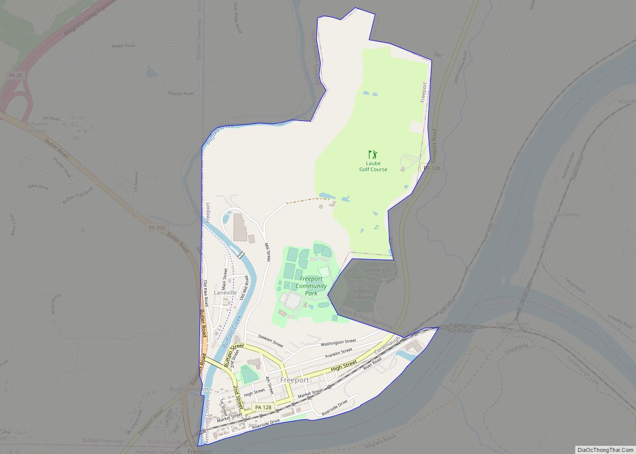
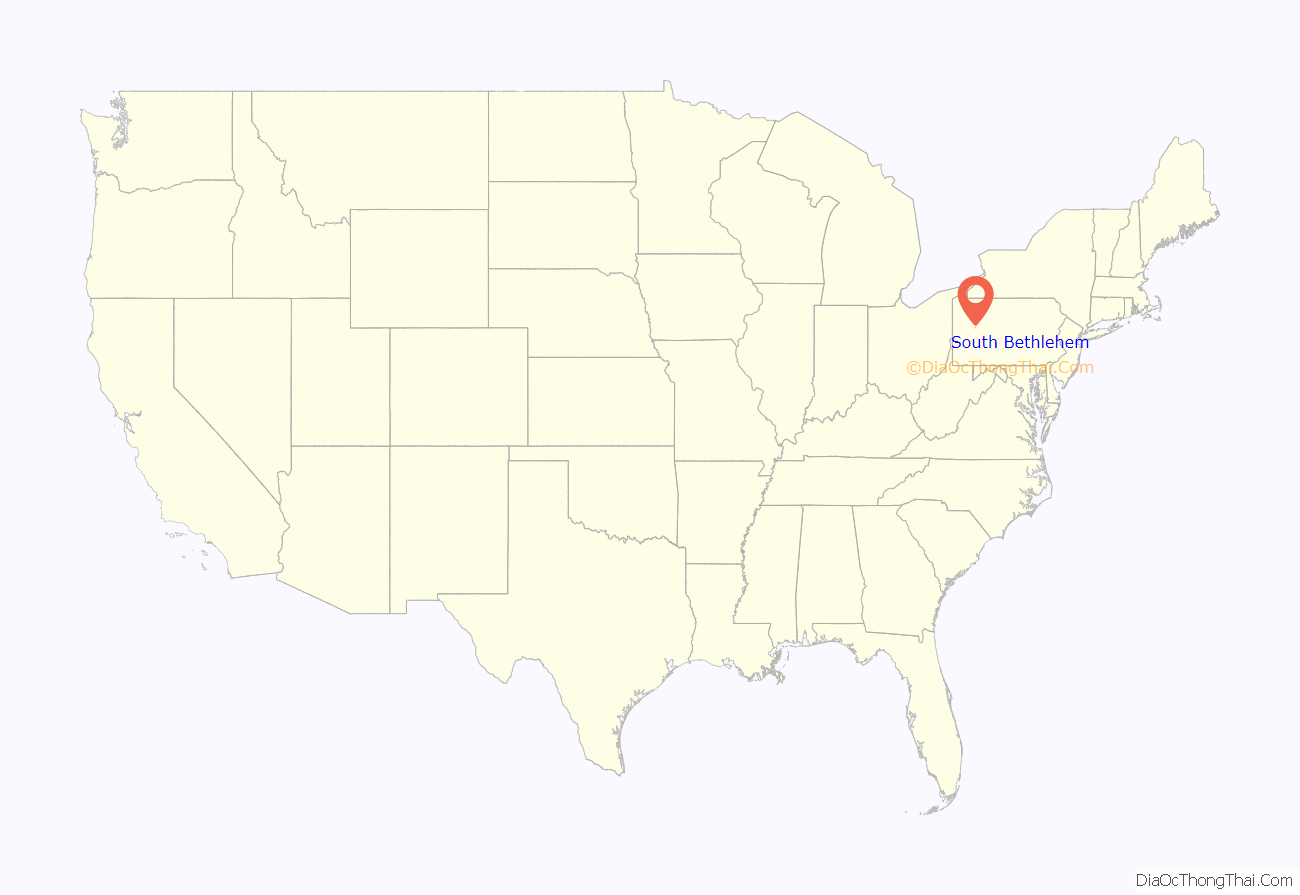
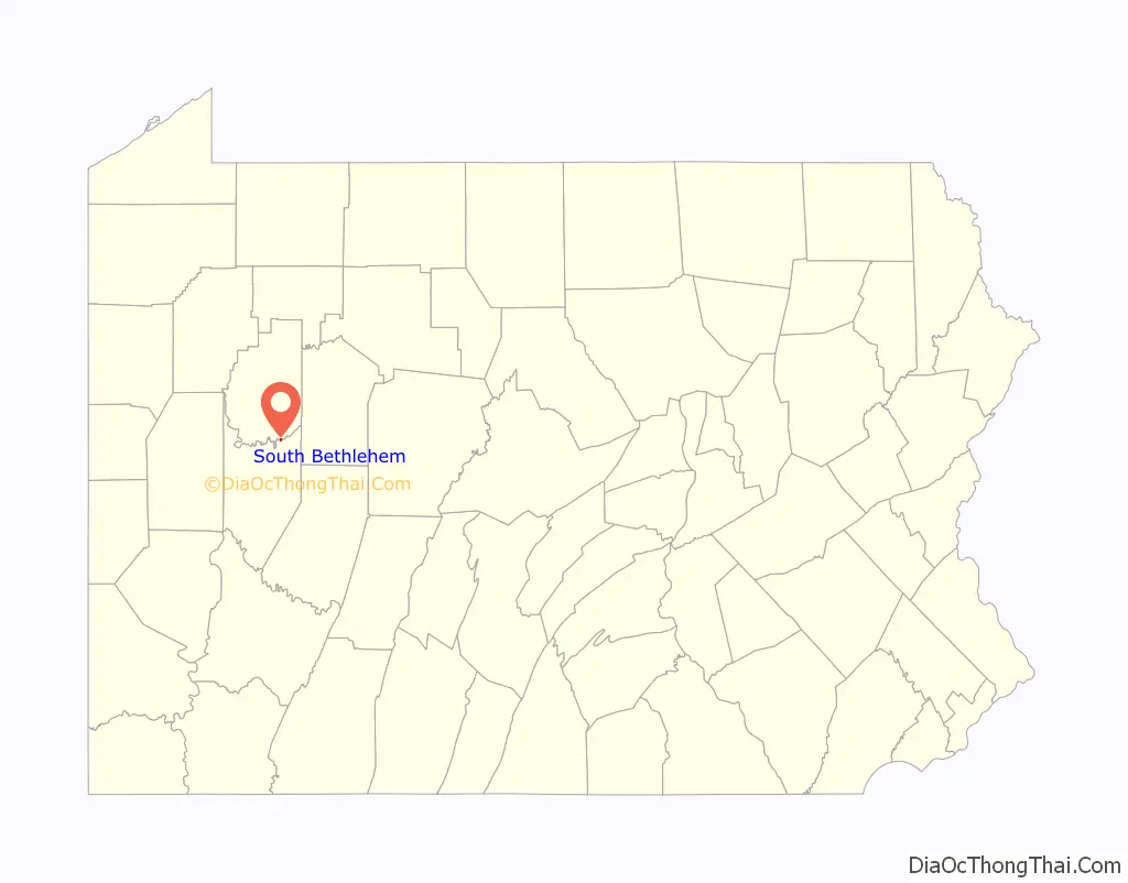
South Bethlehem location map. Where is South Bethlehem borough?
History
South Bethlehem appears on the 1876 Atlas of Armstrong County Pennsylvania. It was founded by William R. Hamilton on land he purchased from Lewis Daubenspecht. The land was part of a tract of 280,990 acres, conveyed to Willem Willink, who was an investor in the Holland Land Company, on warrant 2896 on September 6, 1802.
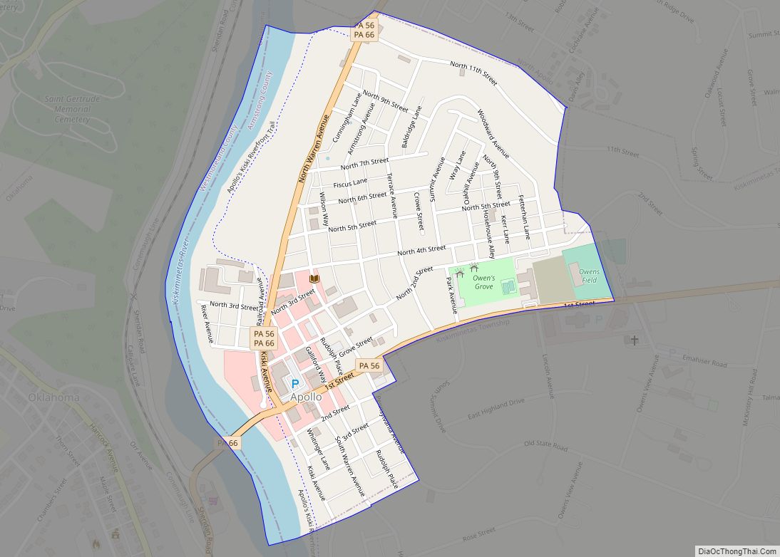
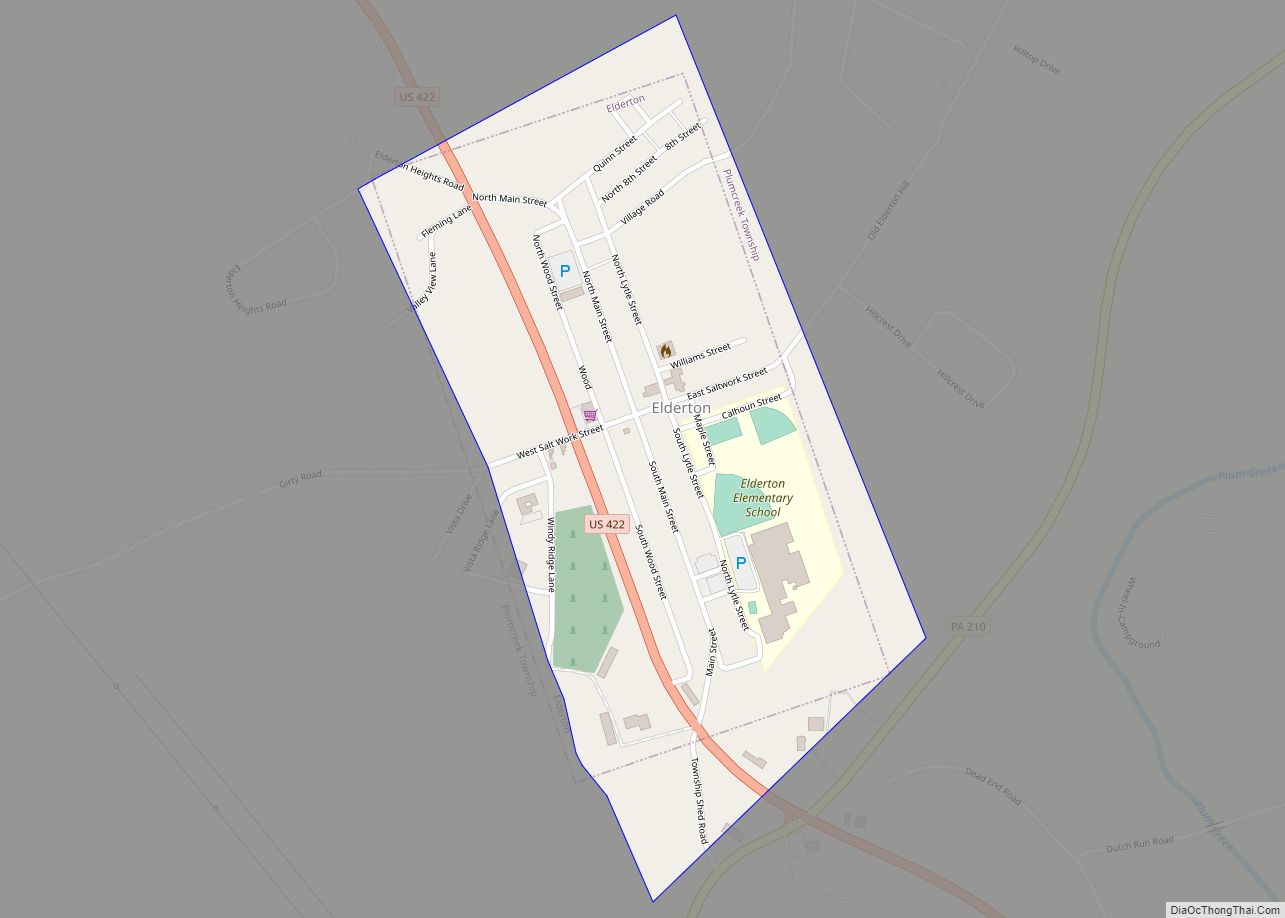
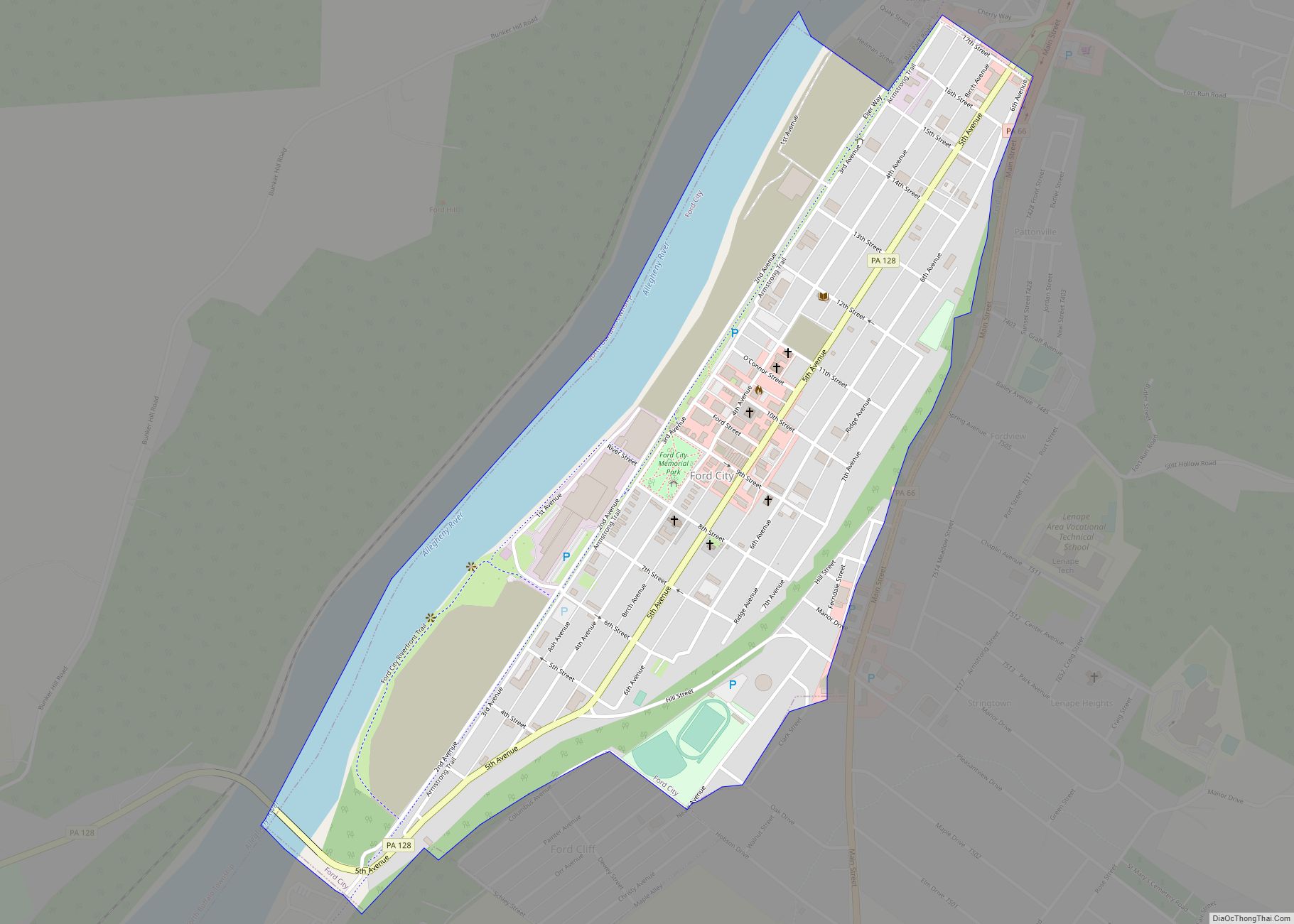
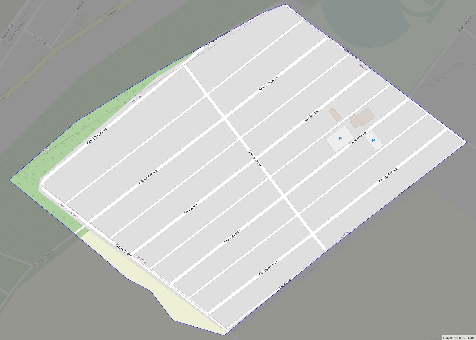
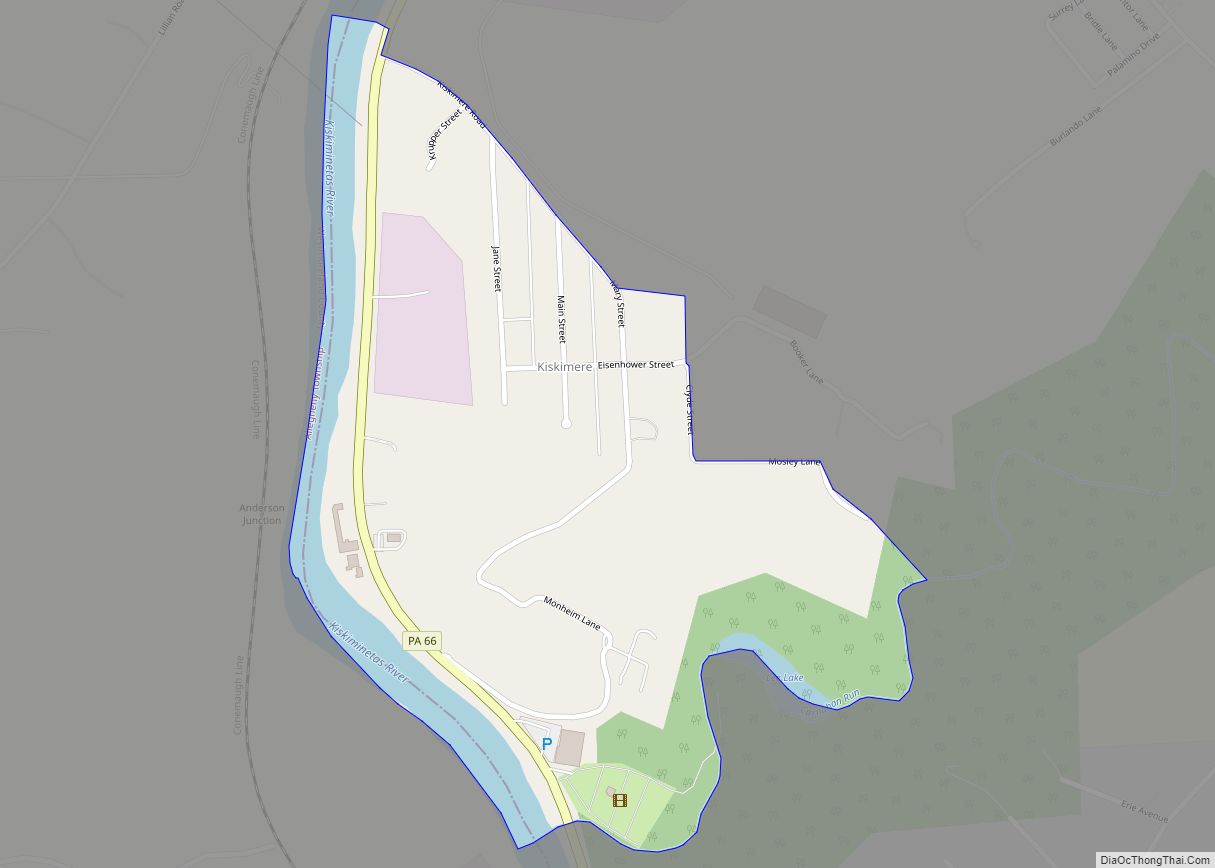
South Bethlehem Road Map
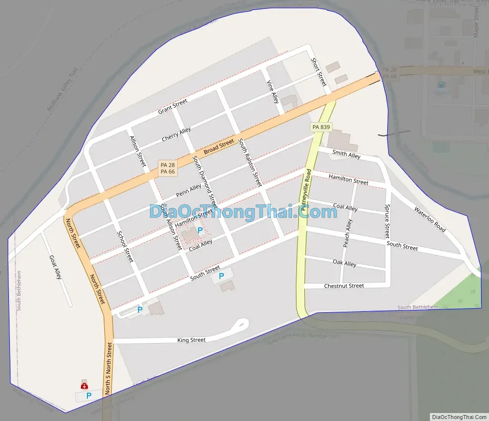
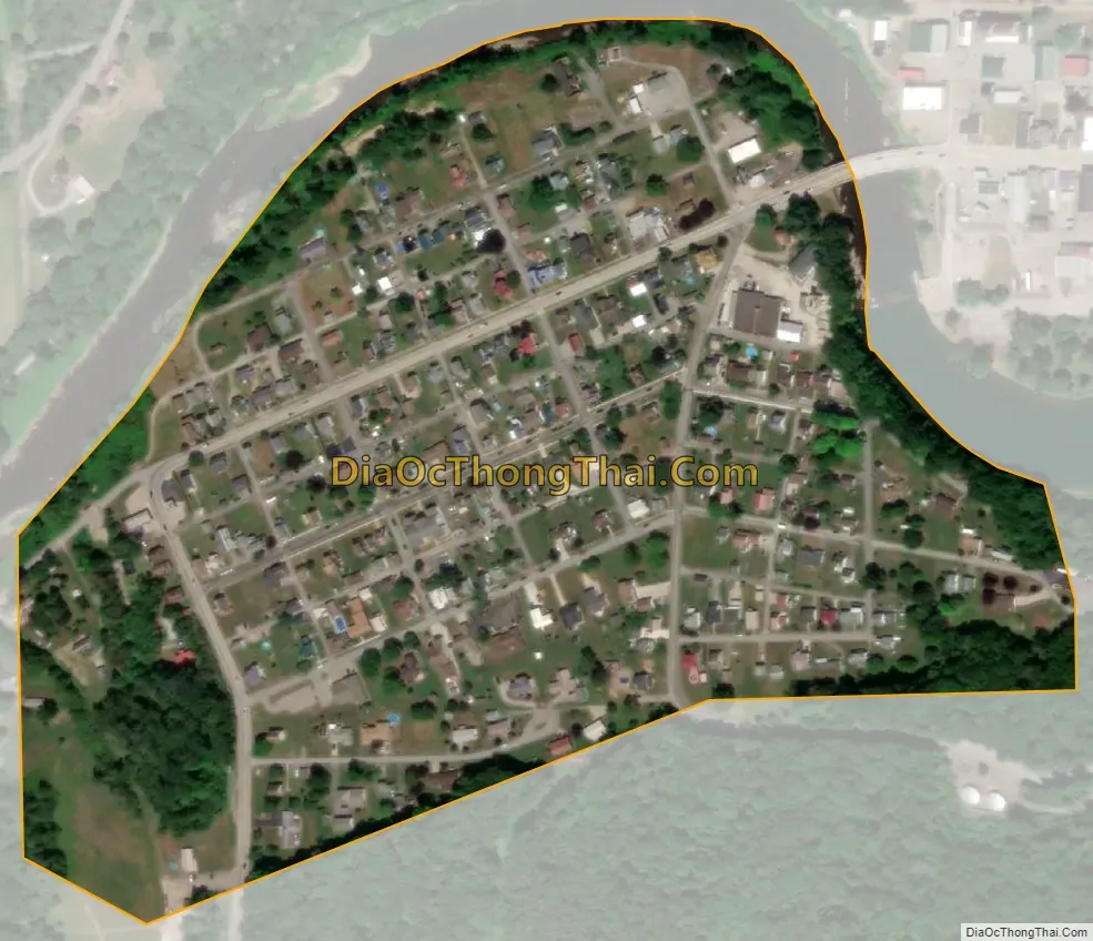
South Bethlehem city Satellite Map
Geography
South Bethlehem is located in northern Armstrong County in western Pennsylvania on the south side of Redbank Creek at 40°59′58″N 79°20′21″W / 40.99944°N 79.33917°W / 40.99944; -79.33917 (40.999516, -79.339219). It is bordered to the northeast by the borough of New Bethlehem, which is across Redbank Creek in Clarion County. Neither South Bethlehem nor New Bethlehem are adjacent to the city of Bethlehem, which is in eastern Pennsylvania.
Pennsylvania Routes 28 and 66 pass through South Bethlehem, leading southwest 19 miles (31 km) to Kittanning. Route 28 leads northeast 20 miles (32 km) to Brookville, and Route 66 leads north 17 miles (27 km) to Clarion, both of which towns are near Interstate 80.
According to the U.S. Census Bureau, South Bethlehem has a total area of 0.15 square miles (0.4 km), all land.
See also
Map of Pennsylvania State and its subdivision:- Adams
- Allegheny
- Armstrong
- Beaver
- Bedford
- Berks
- Blair
- Bradford
- Bucks
- Butler
- Cambria
- Cameron
- Carbon
- Centre
- Chester
- Clarion
- Clearfield
- Clinton
- Columbia
- Crawford
- Cumberland
- Dauphin
- Delaware
- Elk
- Erie
- Fayette
- Forest
- Franklin
- Fulton
- Greene
- Huntingdon
- Indiana
- Jefferson
- Juniata
- Lackawanna
- Lancaster
- Lawrence
- Lebanon
- Lehigh
- Luzerne
- Lycoming
- Mc Kean
- Mercer
- Mifflin
- Monroe
- Montgomery
- Montour
- Northampton
- Northumberland
- Perry
- Philadelphia
- Pike
- Potter
- Schuylkill
- Snyder
- Somerset
- Sullivan
- Susquehanna
- Tioga
- Union
- Venango
- Warren
- Washington
- Wayne
- Westmoreland
- Wyoming
- York
- Alabama
- Alaska
- Arizona
- Arkansas
- California
- Colorado
- Connecticut
- Delaware
- District of Columbia
- Florida
- Georgia
- Hawaii
- Idaho
- Illinois
- Indiana
- Iowa
- Kansas
- Kentucky
- Louisiana
- Maine
- Maryland
- Massachusetts
- Michigan
- Minnesota
- Mississippi
- Missouri
- Montana
- Nebraska
- Nevada
- New Hampshire
- New Jersey
- New Mexico
- New York
- North Carolina
- North Dakota
- Ohio
- Oklahoma
- Oregon
- Pennsylvania
- Rhode Island
- South Carolina
- South Dakota
- Tennessee
- Texas
- Utah
- Vermont
- Virginia
- Washington
- West Virginia
- Wisconsin
- Wyoming