Tuscarora is a census-designated place (CDP) in Schuylkill County, Pennsylvania, United States. The population was 980 at the 2010 census.
| Name: | Tuscarora CDP |
|---|---|
| LSAD Code: | 57 |
| LSAD Description: | CDP (suffix) |
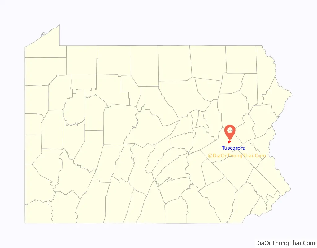
| State: | Pennsylvania |
| County: | Schuylkill County |
| Total Area: | 3.6 sq mi (9.3 km²) |
| Land Area: | 3.6 sq mi (9.3 km²) |
| Total Population: | 980 |
| Population Density: | 270/sq mi (110/km²) |
| ZIP code: | 17982 |
| Area code: | 570 |
| FIPS code: | 4277968 |
Online Interactive Map
Click on ![]() to view map in "full screen" mode.
to view map in "full screen" mode.
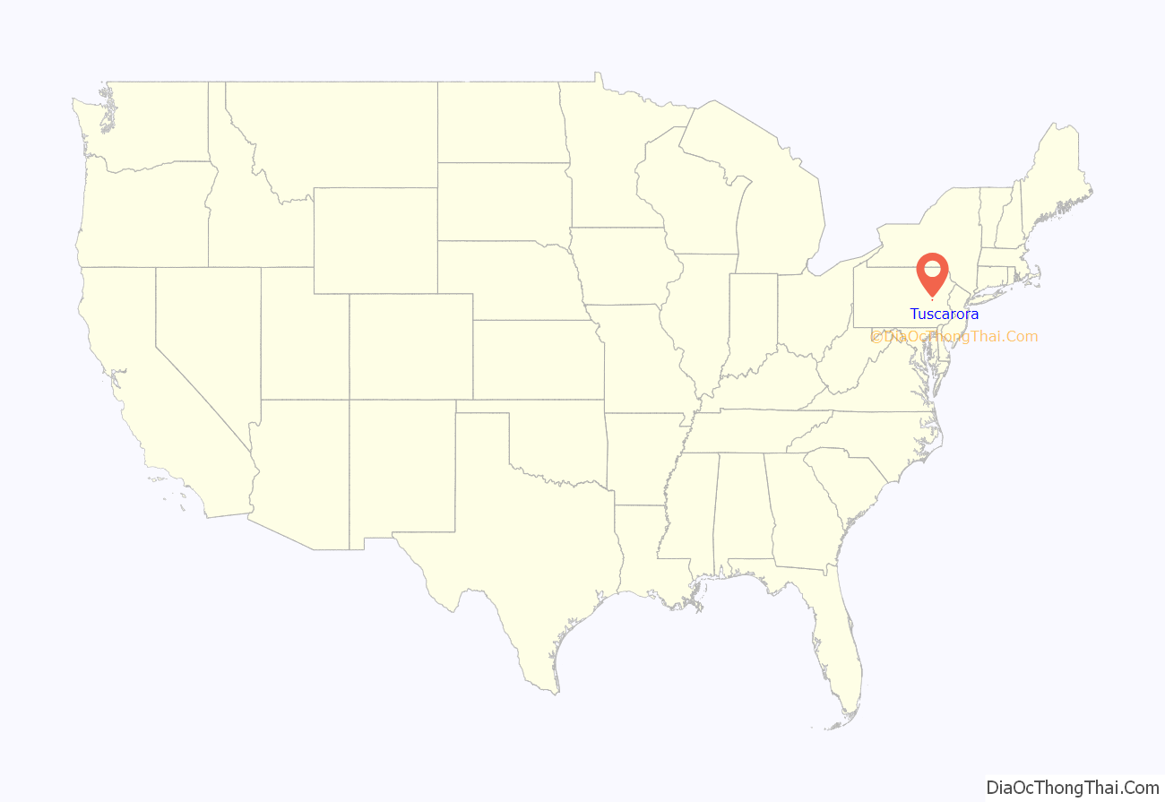
Tuscarora location map. Where is Tuscarora CDP?
History
Tuscarora derives its name from the movement of the Tuscarora people from their homelands in the Carolinas to New York during the aftermath of the Tuscarora War in the early 18th century. A part of the transitory Tuscarora settled at a point approximately two miles west of Tamaqua, Pennsylvania, where they planted apple trees and lived for a number of years. It is probable that it was these Tuscarora who were later moved to Oquaga.
Tuscarora lies within Schuylkill Township, which was one of the original townships of the county, organized in 1811. On May 20, 1830, a US post-office was established in Tuscarora. By 1846 Tuscarora was the terminus of the Schuylkill Valley Railroad. Tuscarora now had seventeen houses, two taverns, one store, and a population of 139. By 1852 the place flourished because of the coal collieries (including those in nearby Mary D such as Silver Creek), local operators, were working the mines on the so-called “Kentucky banks”. These mines were worked up to 1875, when they passed to the proprietorship of the Philadelphia and Reading Coal and Iron Company and were eventually abandoned in the late 19th century. There were, subsequently, small operations, such as Slattery’s Tuscarora Colliery, in the area into the early 20th century.
Several residents of Tuscarora were involved in the Molly Maguires, trials of the late 1870s, including Martin Bergen, hanged at Pottsville on January 16, 1879, for the murder of Patrick Burns in Silver Creek; John Campbell, convicted of the second-degree murder of F.W. Langdon and sentenced to five years in prison; John “Yellow Jack” Donahue, convicted in several conspiracy cases, hanged at Mauch Chunk for his role in the murder of Morgan Powell on June 21, 1877; Neil Dougherty, convicted of the second-degree murder of F.W. Langdon and sentenced to nine years in prison; James “Powder Keg” Kerrigan, self-confessed participant in the assassinations of Benjamin Yost and John P. Jones, who appeared as a witness for the prosecution in the trials of James Carroll et al., Alexander Campbell, John Kehoe et al., John “Yellow Jack” Donahue, James McDonnell, and Charles Sharp, but was never tried for his own part in the killings of Yost and Jones; James “Hairy Man” McDonnell, hanged at Mauch Chunk on January 14, 1879, for the murder of George K. Smith in 1863, testified for the prosecution in the 1878 trial of Martin Bergen for the murder of Patrick Burns, and missed a temporary reprieve of his sentence when it arrived too late on the day of his hanging; and John J. Slattery, informant, convicted in the conspiracy cases but turned informant during the trial, so his sentence was postponed, testified for the prosecution in the trial of “Yellow Jack” Donahue for the killing of Morgan Powell, implicated John Kehoe in extensive political corruption, and also testified against Martin Bergen in 1878, when Bergen stood trial for the murder of Patrick Burns.
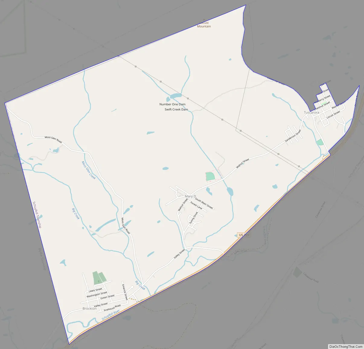
Tuscarora Road Map
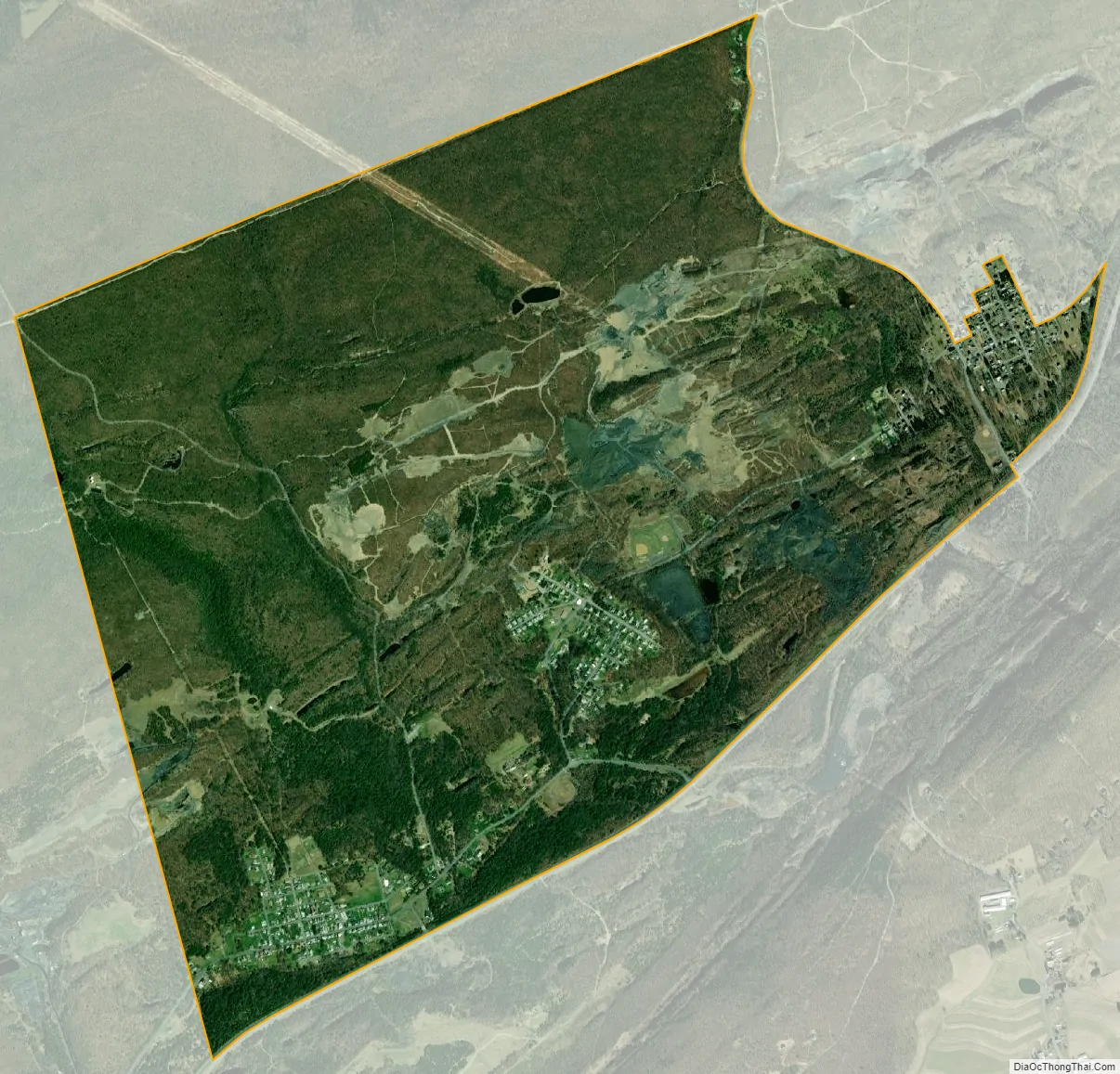
Tuscarora city Satellite Map
Geography
Tuscarora is located at 40°45′43″N 76°2′56″W / 40.76194°N 76.04889°W / 40.76194; -76.04889 (40.761918, -76.048965). One branch of the headwaters to the Schuylkill River is in Tuscarora. The East Branch of the Schuylkill River runs southwestward from the Tuscarora area until it converges with the West Branch near Pottsville and continues to flow south where it eventually joins the Delaware River as one of its largest tributaries.
According to the United States Census Bureau, the CDP has a total area of 3.6 square miles (9.3 km), all land.
See also
Map of Pennsylvania State and its subdivision:- Adams
- Allegheny
- Armstrong
- Beaver
- Bedford
- Berks
- Blair
- Bradford
- Bucks
- Butler
- Cambria
- Cameron
- Carbon
- Centre
- Chester
- Clarion
- Clearfield
- Clinton
- Columbia
- Crawford
- Cumberland
- Dauphin
- Delaware
- Elk
- Erie
- Fayette
- Forest
- Franklin
- Fulton
- Greene
- Huntingdon
- Indiana
- Jefferson
- Juniata
- Lackawanna
- Lancaster
- Lawrence
- Lebanon
- Lehigh
- Luzerne
- Lycoming
- Mc Kean
- Mercer
- Mifflin
- Monroe
- Montgomery
- Montour
- Northampton
- Northumberland
- Perry
- Philadelphia
- Pike
- Potter
- Schuylkill
- Snyder
- Somerset
- Sullivan
- Susquehanna
- Tioga
- Union
- Venango
- Warren
- Washington
- Wayne
- Westmoreland
- Wyoming
- York
- Alabama
- Alaska
- Arizona
- Arkansas
- California
- Colorado
- Connecticut
- Delaware
- District of Columbia
- Florida
- Georgia
- Hawaii
- Idaho
- Illinois
- Indiana
- Iowa
- Kansas
- Kentucky
- Louisiana
- Maine
- Maryland
- Massachusetts
- Michigan
- Minnesota
- Mississippi
- Missouri
- Montana
- Nebraska
- Nevada
- New Hampshire
- New Jersey
- New Mexico
- New York
- North Carolina
- North Dakota
- Ohio
- Oklahoma
- Oregon
- Pennsylvania
- Rhode Island
- South Carolina
- South Dakota
- Tennessee
- Texas
- Utah
- Vermont
- Virginia
- Washington
- West Virginia
- Wisconsin
- Wyoming


