Wyalusing is a borough in Bradford County, Pennsylvania, United States. It is part of Northeastern Pennsylvania. The population was 596 as of the 2010 census.
| Name: | Wyalusing borough |
|---|---|
| LSAD Code: | 21 |
| LSAD Description: | borough (suffix) |
| State: | Pennsylvania |
| County: | Bradford County |
| Elevation: | 705 ft (215 m) |
| Total Area: | 0.79 sq mi (2.06 km²) |
| Land Area: | 0.73 sq mi (1.88 km²) |
| Water Area: | 0.07 sq mi (0.18 km²) |
| Total Population: | 596 |
| Population Density: | 764.46/sq mi (295.19/km²) |
| Area code: | 570 |
| FIPS code: | 4286656 |
| Website: | wyalusingborough.com |
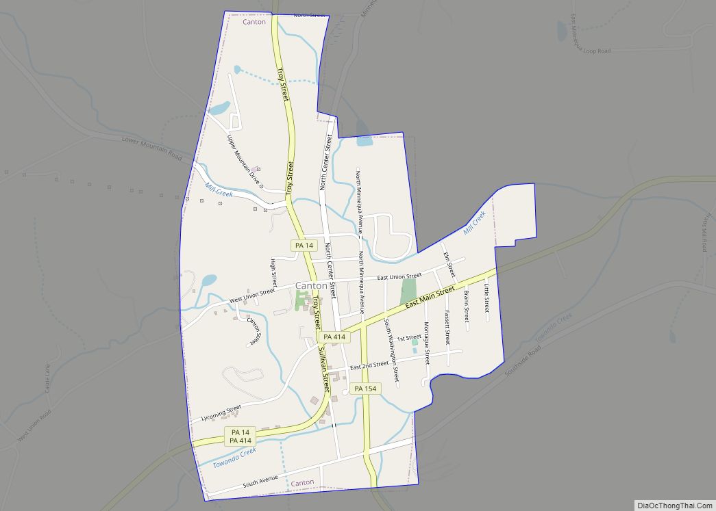
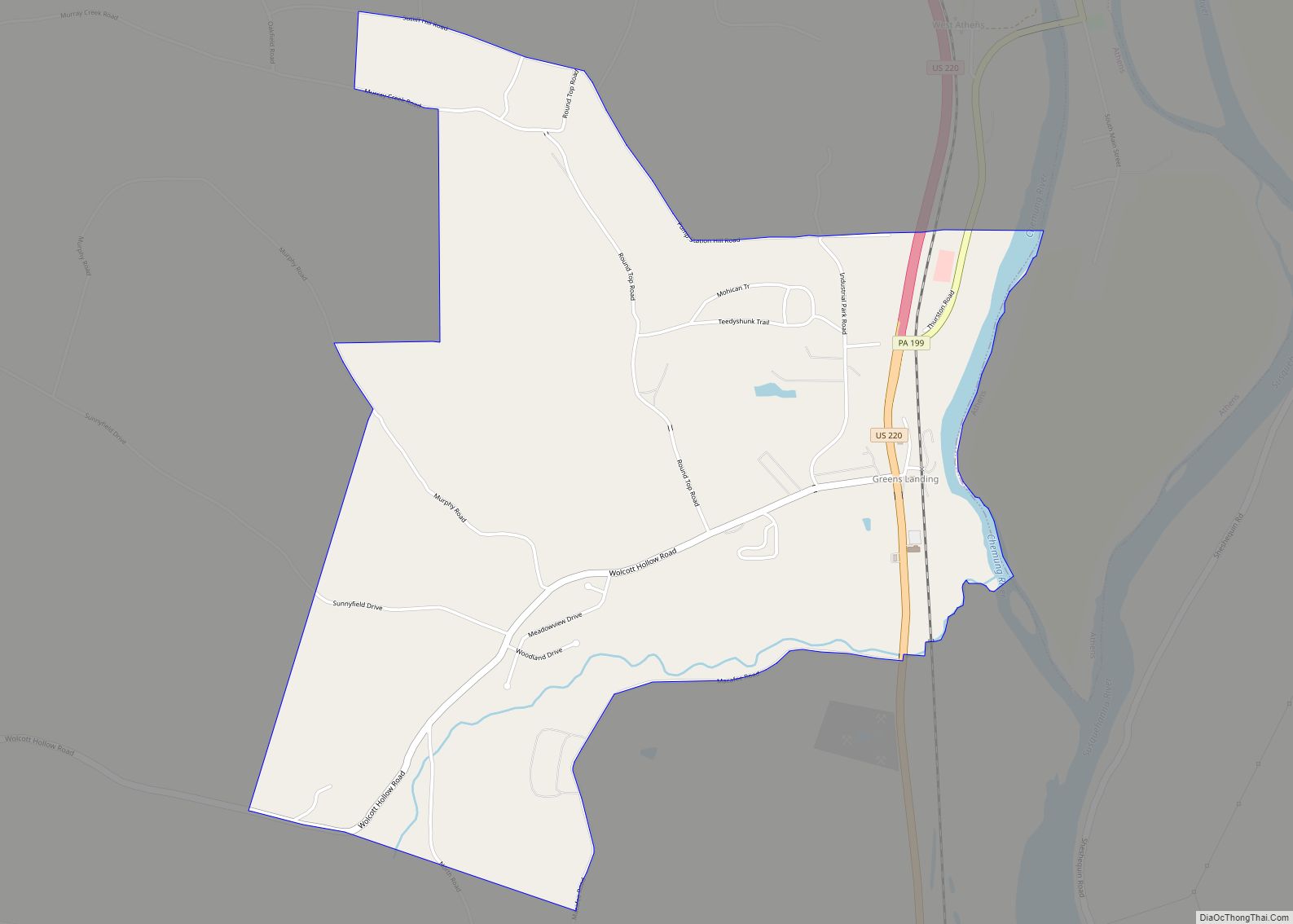
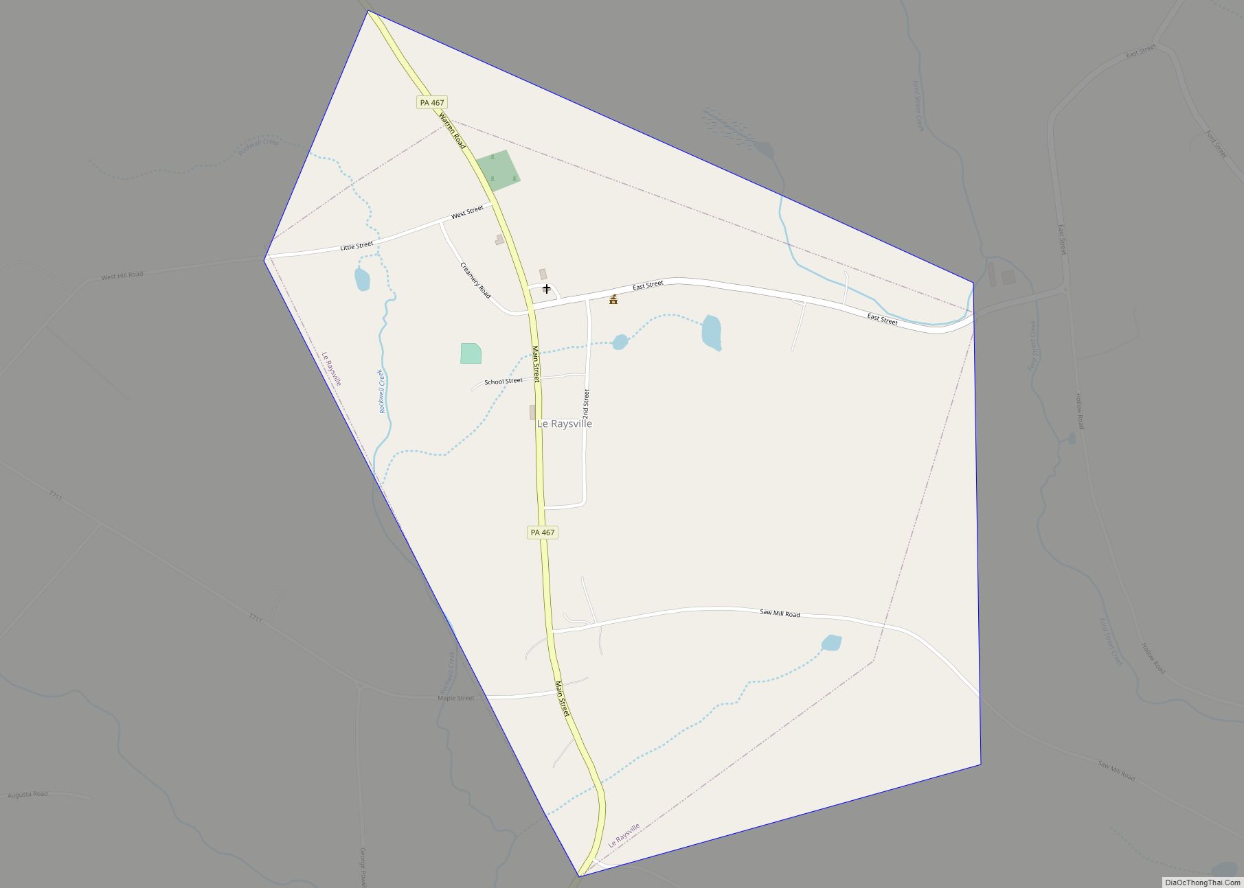
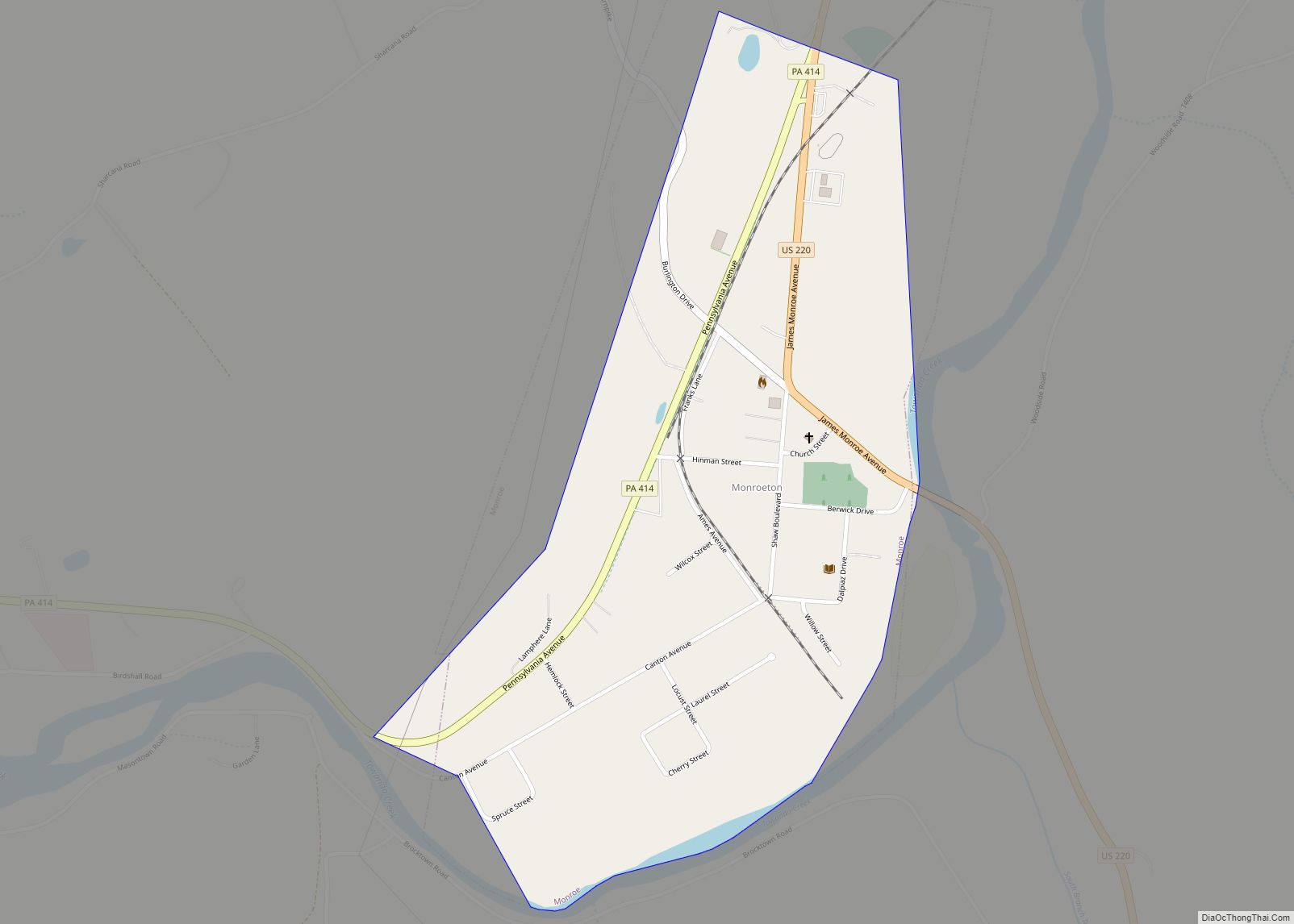
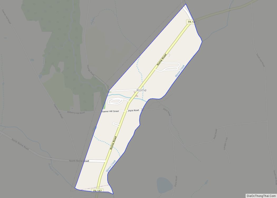
Online Interactive Map
Click on ![]() to view map in "full screen" mode.
to view map in "full screen" mode.
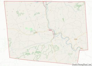
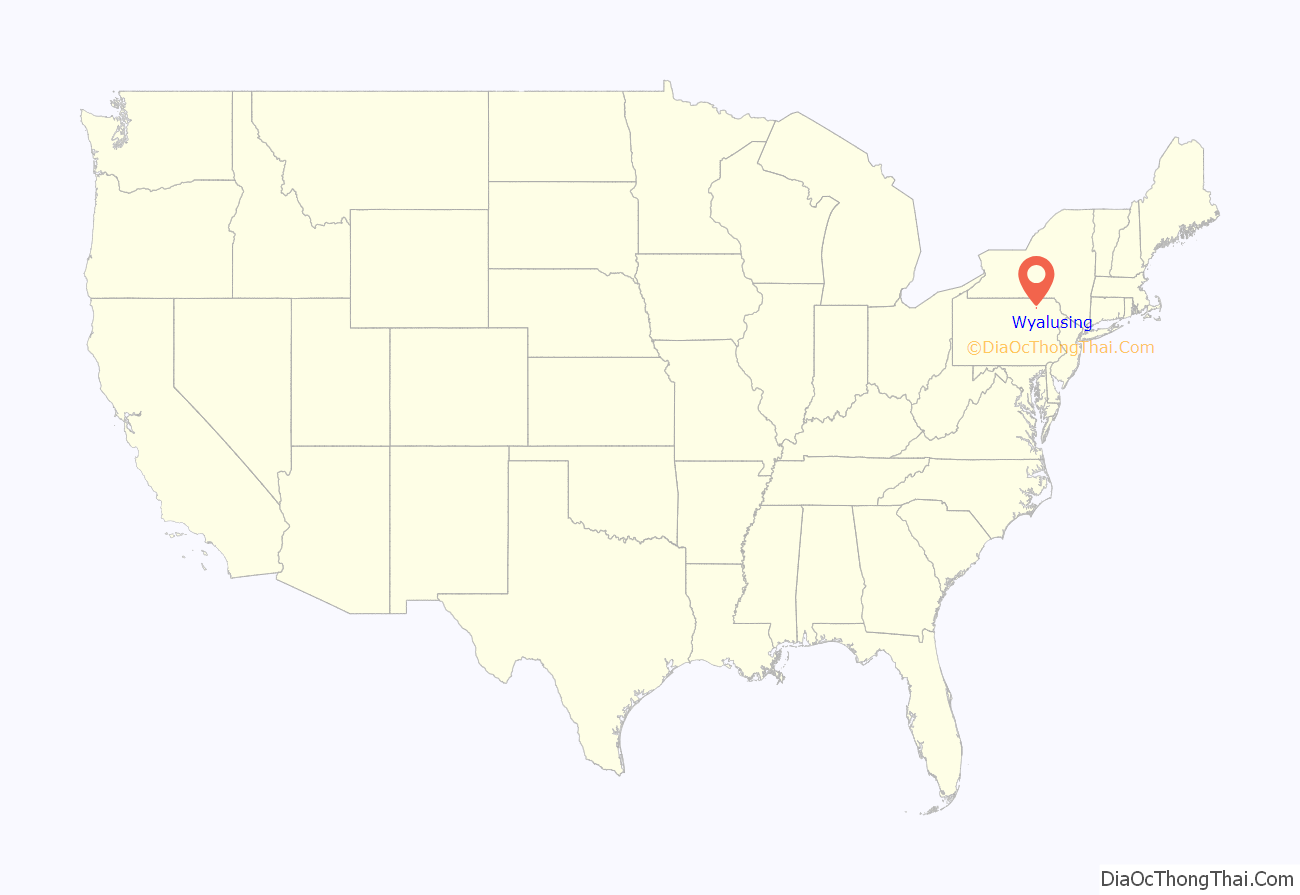
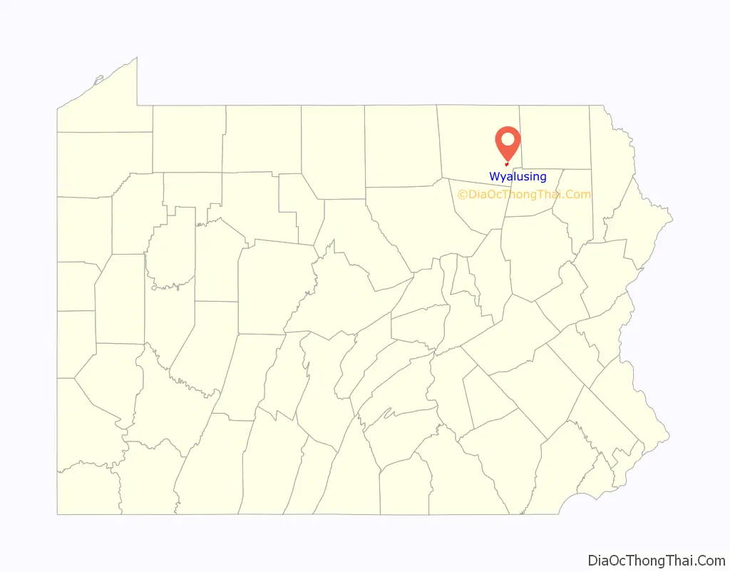
Wyalusing location map. Where is Wyalusing borough?
History
The history of Wyalusing dates back centuries. It was originally known as M’chwihilusing. The Wyalusing Path was a historic trace that ran from what is now Wyalusing to the Native American village of Canaserage (what is now Muncy, on the West Branch Susquehanna River). Before 1750, Wyalusing was known as Gahontoto and was home to the Tehotachsee tribe of Native Americans. Eventually, this small tribe was completely wiped out by the Cayuga tribe.
In the spring of 1765, the Moravian Christian Munsees, a group of absolute pacifists, founded a settlement Friedenshuetten (Tents or Cabins of Peace) in what is now Wyalusing. This settlement lasted for several years, but was finally abandoned when the group led by David Zeisberger moved to Schoenbrunn (near Gnadenhutten, Ohio) in 1772. In 1792, the chief of the Cayugas and approximately 20 other families rebuilt the town.
In the 19th century, the town began to prosper as it became a shipping area for logs and other items on the Susquehanna River. In 1820, the construction of the Welles Mill along Wyalusing Creek made Wyalusing a prime area for people to farm and raise crops. In 1887, Wyalusing became a borough. Many of the buildings constructed in the late 19th century and early 1920s are still part of Main Street today.
Wyalusing is home to one of the biggest beef processing plants on the East Coast. Cargill regional beef Wyalusing is located just a couple miles outside of town. This plant was originally started in the late 1970s by the local Taylor family as a small meat processing plant. It eventually grew into a multimillion-dollar business that employs over 1,200 people from the surrounding area. Cargill is one of the biggest suppliers of ground beef to large grocery chains such as Wegmans, Giant, Shop Rite and more. In 2002, the Taylor family sold the business to the Cargill corporation, one of the largest privately owned companies in the United States.
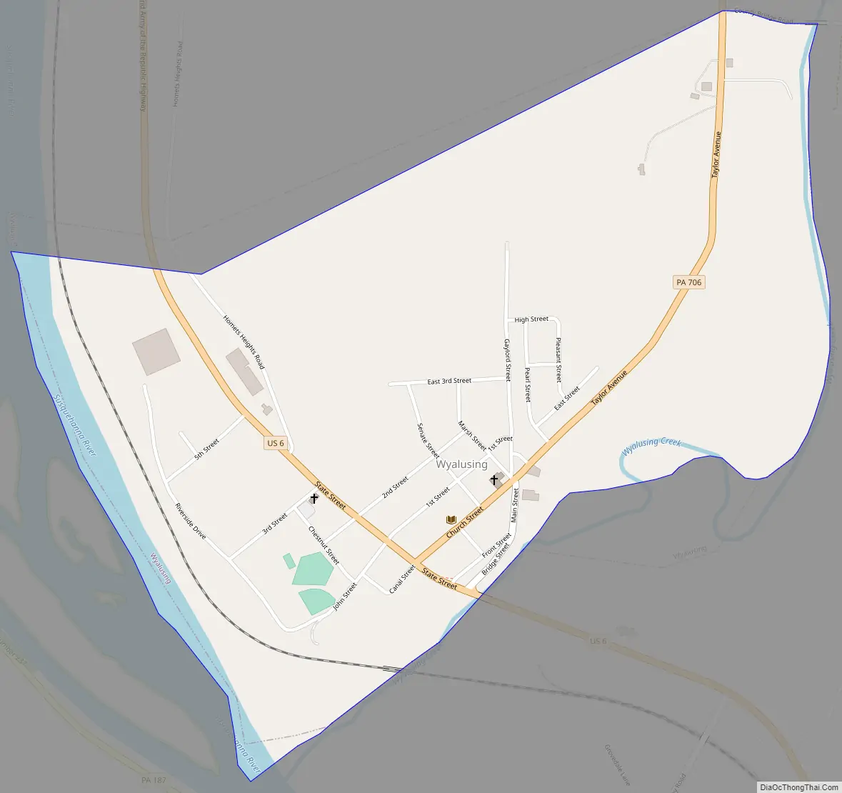
Wyalusing Road Map
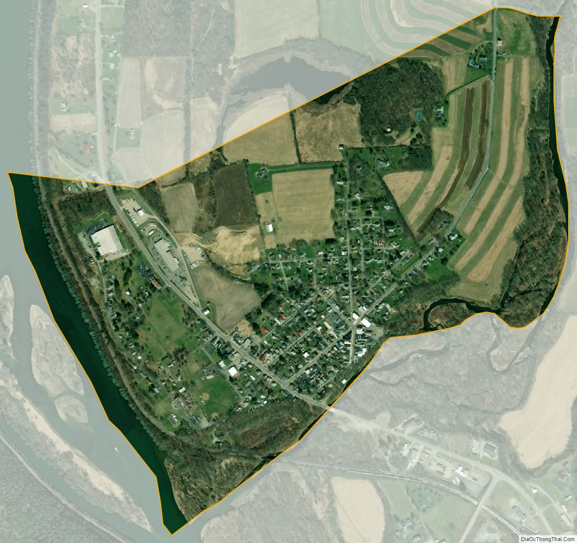
Wyalusing city Satellite Map
Geography
Wyalusing is located in southeastern Bradford County at 41°40′3″N 76°15′48″W / 41.66750°N 76.26333°W / 41.66750; -76.26333 (41.667407, -76.263375). It is on the northeast bank of the Susquehanna River at the confluence with Wyalusing Creek. The borough is bordered on the north, east, and south by Wyalusing Township and on the west, across the Susquehanna, by Terry Township.
U.S. Route 6 passes through the center of the borough, following the Susquehanna River. It leads southeast 24 miles (39 km) to Tunkhannock and northwest 15 miles (24 km) to Towanda, the Bradford County seat. Pennsylvania Route 706 leaves northeast from the center of the borough, leading 37 miles (60 km) to U.S. Route 11 and Interstate 81 at New Milford.
According to the United States Census Bureau, the borough has a total area of 0.81 square miles (2.1 km), of which 0.73 square miles (1.9 km) is land and 0.08 square miles (0.2 km), or 8.58%, is water.
See also
Map of Pennsylvania State and its subdivision:- Adams
- Allegheny
- Armstrong
- Beaver
- Bedford
- Berks
- Blair
- Bradford
- Bucks
- Butler
- Cambria
- Cameron
- Carbon
- Centre
- Chester
- Clarion
- Clearfield
- Clinton
- Columbia
- Crawford
- Cumberland
- Dauphin
- Delaware
- Elk
- Erie
- Fayette
- Forest
- Franklin
- Fulton
- Greene
- Huntingdon
- Indiana
- Jefferson
- Juniata
- Lackawanna
- Lancaster
- Lawrence
- Lebanon
- Lehigh
- Luzerne
- Lycoming
- Mc Kean
- Mercer
- Mifflin
- Monroe
- Montgomery
- Montour
- Northampton
- Northumberland
- Perry
- Philadelphia
- Pike
- Potter
- Schuylkill
- Snyder
- Somerset
- Sullivan
- Susquehanna
- Tioga
- Union
- Venango
- Warren
- Washington
- Wayne
- Westmoreland
- Wyoming
- York
- Alabama
- Alaska
- Arizona
- Arkansas
- California
- Colorado
- Connecticut
- Delaware
- District of Columbia
- Florida
- Georgia
- Hawaii
- Idaho
- Illinois
- Indiana
- Iowa
- Kansas
- Kentucky
- Louisiana
- Maine
- Maryland
- Massachusetts
- Michigan
- Minnesota
- Mississippi
- Missouri
- Montana
- Nebraska
- Nevada
- New Hampshire
- New Jersey
- New Mexico
- New York
- North Carolina
- North Dakota
- Ohio
- Oklahoma
- Oregon
- Pennsylvania
- Rhode Island
- South Carolina
- South Dakota
- Tennessee
- Texas
- Utah
- Vermont
- Virginia
- Washington
- West Virginia
- Wisconsin
- Wyoming