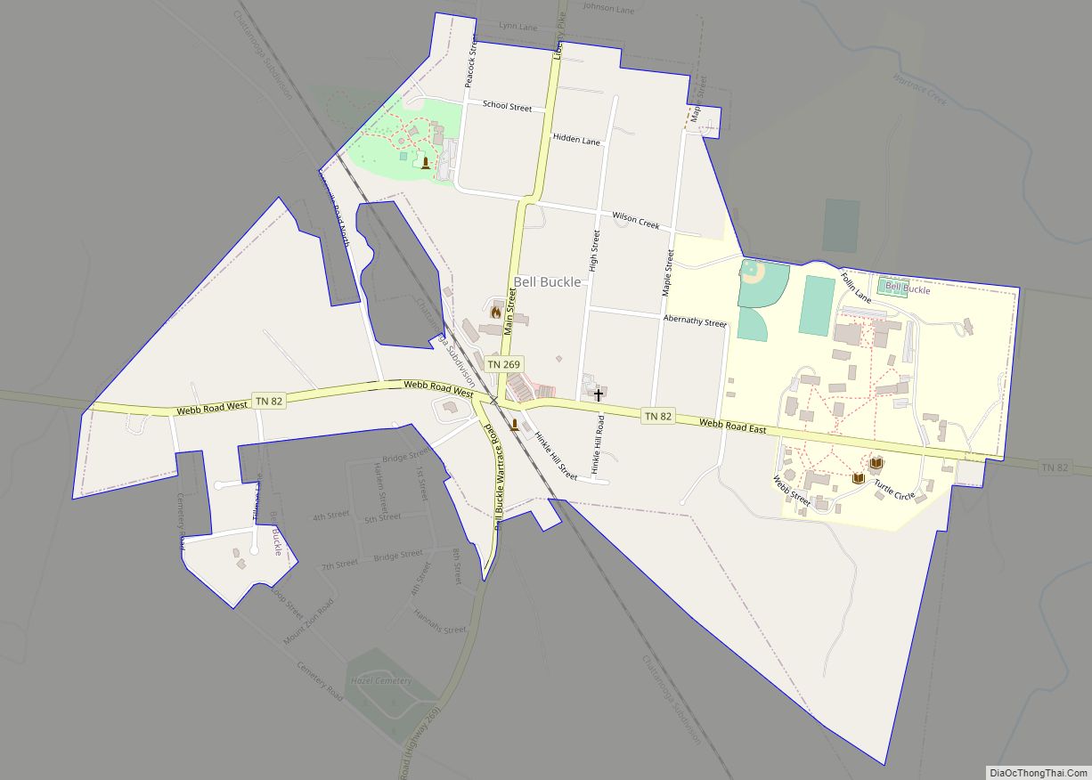
Bell Buckle is a town in Bedford County, Tennessee, United States. The population was 500 at the 2010 census. The downtown area is listed on the National Register of Historic Places as the Bell Buckle Historic District.
| Name: | Bell Buckle town |
|---|---|
| LSAD Code: | 43 |
| LSAD Description: | town (suffix) |
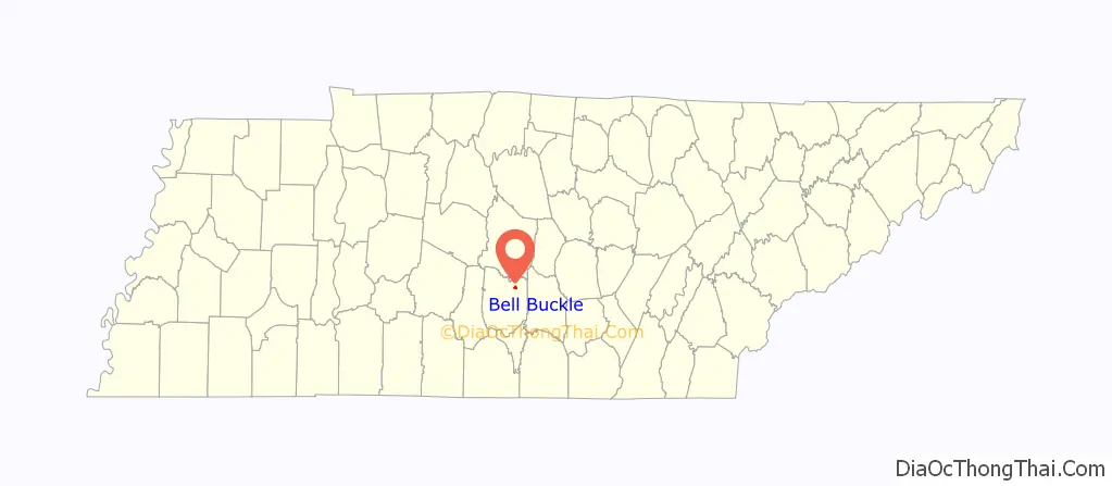
| State: | Tennessee |
| County: | Bedford County |
| Elevation: | 856 ft (261 m) |
| Total Area: | 0.51 sq mi (1.32 km²) |
| Land Area: | 0.51 sq mi (1.32 km²) |
| Water Area: | 0.00 sq mi (0.00 km²) |
| Total Population: | 410 |
| Population Density: | 803.92/sq mi (310.61/km²) |
| ZIP code: | 37020 |
| Area code: | 931 |
| FIPS code: | 4704460 |
| GNISfeature ID: | 1276910 |
| Website: | townofbellbuckle.com |
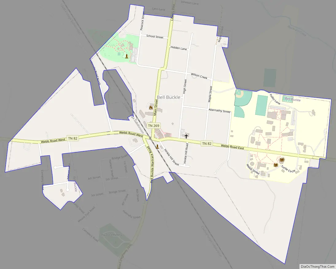
Online Interactive Map
Click on ![]() to view map in "full screen" mode.
to view map in "full screen" mode.
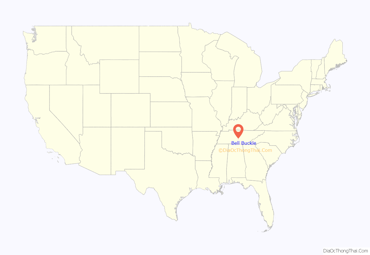
Bell Buckle location map. Where is Bell Buckle town?
History
The origin of the town’s unusual name is not known. According to the local chamber of commerce, one story says that one of the first white men to travel through the area found a tree with carvings of a cowbell and a buckle, possibly carved by Indians to warn white settlers away, or possibly carved by surveyors to mark the area as good pasture. Another form of the legend holds that a bell and buckle were tied around a tree. In any case, the nearby creek was named Bell Buckle Creek, and the town later took the name of the creek.
The Bell Buckle area was settled in the early 19th century. A bustling town grew up after the Nashville and Chattanooga Railroad came through the area in 1852. A railroad depot was built in 1853, and the town was incorporated in 1856. Bell Buckle had its period of greatest prosperity after about 1870, becoming the major stockyard between Nashville and Chattanooga and growing to a population of more than 1,000.
The town name was spelled Belle Buckle until the early 1900s, as that was the spelling by the post office and on cancellation devices (1896), by the Nashville, Chattanooga and St. Louis Railway on its 1903 route map, and on the sign on an undated photo of the train station. It is not known exactly when the spelling was changed to Bell Buckle, but it was sometime before 1935 when Tennessee started issuing delayed birth certificates for residents who needed them to apply for Social Security.
In June 1940, US Army maneuvers centered on the area. A tank of General George S. Patton’s Second Armored Division ran into the two-story town hall, bringing the building down.
Bell Buckle Road Map
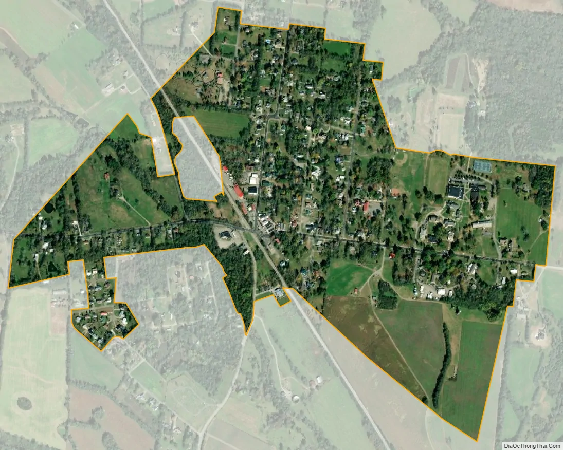
Bell Buckle city Satellite Map
Geography
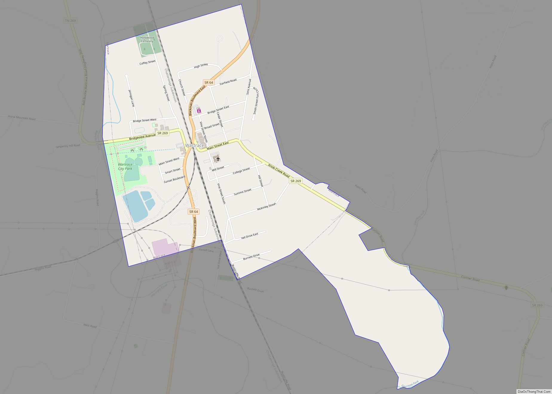
Bell Buckle is located in northeastern Bedford County at 35°35′27″N 86°21′15″W / 35.59083°N 86.35417°W / 35.59083; -86.35417 (35.590749, -86.354047). Tennessee State Routes 82 and 269 cross at the town’s center. TN 82 leads east 8 miles (13 km) to Beechgrove and Interstate 24, and west 5 miles (8 km) to U.S. Route 231 at a point 7 miles (11 km) north of Shelbyville, the county seat. TN 269 leads south 5 miles (8 km) to Wartrace and north 11 miles (18 km) to U.S. 231 near Christiana.
According to the United States Census Bureau, Bell Buckle has a total area of 0.58 square miles (1.5 km), all land.
See also
Map of Tennessee State and its subdivision:- Anderson
- Bedford
- Benton
- Bledsoe
- Blount
- Bradley
- Campbell
- Cannon
- Carroll
- Carter
- Cheatham
- Chester
- Claiborne
- Clay
- Cocke
- Coffee
- Crockett
- Cumberland
- Davidson
- Decatur
- DeKalb
- Dickson
- Dyer
- Fayette
- Fentress
- Franklin
- Gibson
- Giles
- Grainger
- Greene
- Grundy
- Hamblen
- Hamilton
- Hancock
- Hardeman
- Hardin
- Hawkins
- Haywood
- Henderson
- Henry
- Hickman
- Houston
- Humphreys
- Jackson
- Jefferson
- Johnson
- Knox
- Lake
- Lauderdale
- Lawrence
- Lewis
- Lincoln
- Loudon
- Macon
- Madison
- Marion
- Marshall
- Maury
- McMinn
- McNairy
- Meigs
- Monroe
- Montgomery
- Moore
- Morgan
- Obion
- Overton
- Perry
- Pickett
- Polk
- Putnam
- Rhea
- Roane
- Robertson
- Rutherford
- Scott
- Sequatchie
- Sevier
- Shelby
- Smith
- Stewart
- Sullivan
- Sumner
- Tipton
- Trousdale
- Unicoi
- Union
- Van Buren
- Warren
- Washington
- Wayne
- Weakley
- White
- Williamson
- Wilson
- Alabama
- Alaska
- Arizona
- Arkansas
- California
- Colorado
- Connecticut
- Delaware
- District of Columbia
- Florida
- Georgia
- Hawaii
- Idaho
- Illinois
- Indiana
- Iowa
- Kansas
- Kentucky
- Louisiana
- Maine
- Maryland
- Massachusetts
- Michigan
- Minnesota
- Mississippi
- Missouri
- Montana
- Nebraska
- Nevada
- New Hampshire
- New Jersey
- New Mexico
- New York
- North Carolina
- North Dakota
- Ohio
- Oklahoma
- Oregon
- Pennsylvania
- Rhode Island
- South Carolina
- South Dakota
- Tennessee
- Texas
- Utah
- Vermont
- Virginia
- Washington
- West Virginia
- Wisconsin
- Wyoming