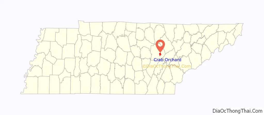
Crab Orchard is a city in Cumberland County, Tennessee, United States. The population was 719 at the 2020 census.
| Name: | Crab Orchard city |
|---|---|
| LSAD Code: | 25 |
| LSAD Description: | city (suffix) |
| State: | Tennessee |
| County: | Cumberland County |
| Incorporated: | 1921 |
| Elevation: | 1,677 ft (511 m) |
| Total Area: | 10.94 sq mi (28.32 km²) |
| Land Area: | 10.94 sq mi (28.32 km²) |
| Water Area: | 0.00 sq mi (0.00 km²) |
| Total Population: | 720 |
| Population Density: | 65.84/sq mi (25.42/km²) |
| ZIP code: | 37723 |
| Area code: | 931 |
| FIPS code: | 4717840 |
| GNISfeature ID: | 1281520 |
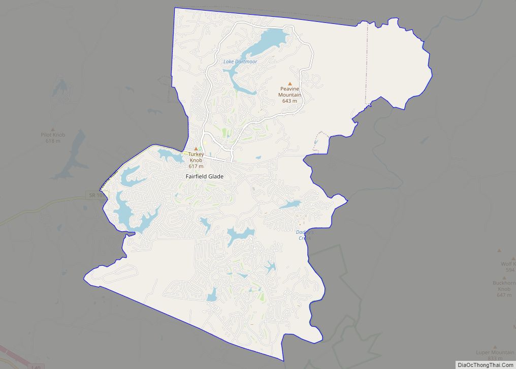
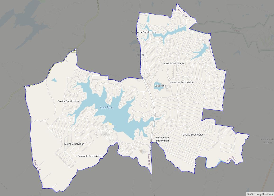
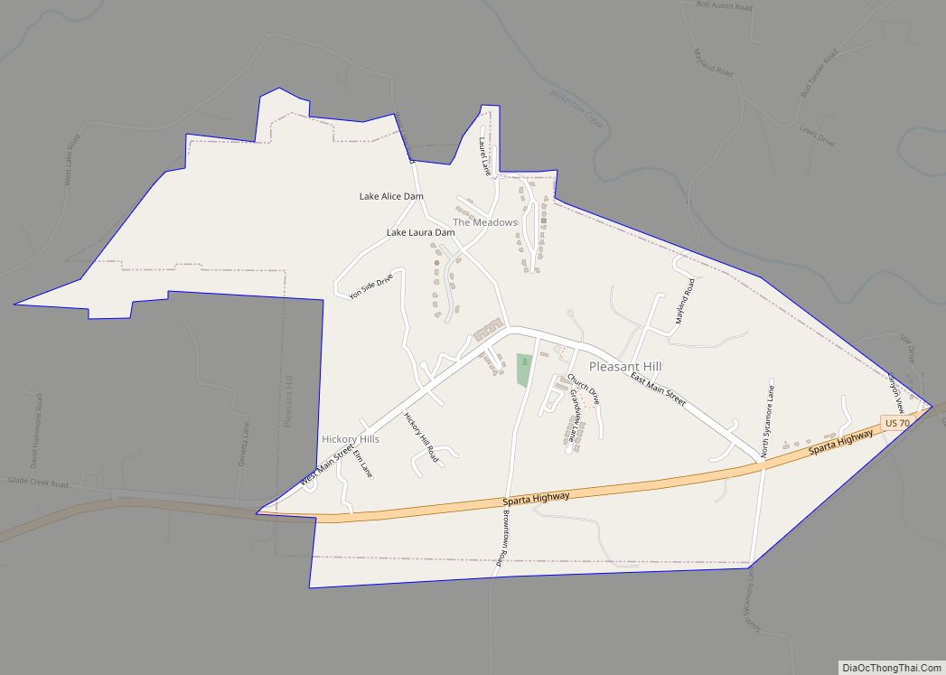
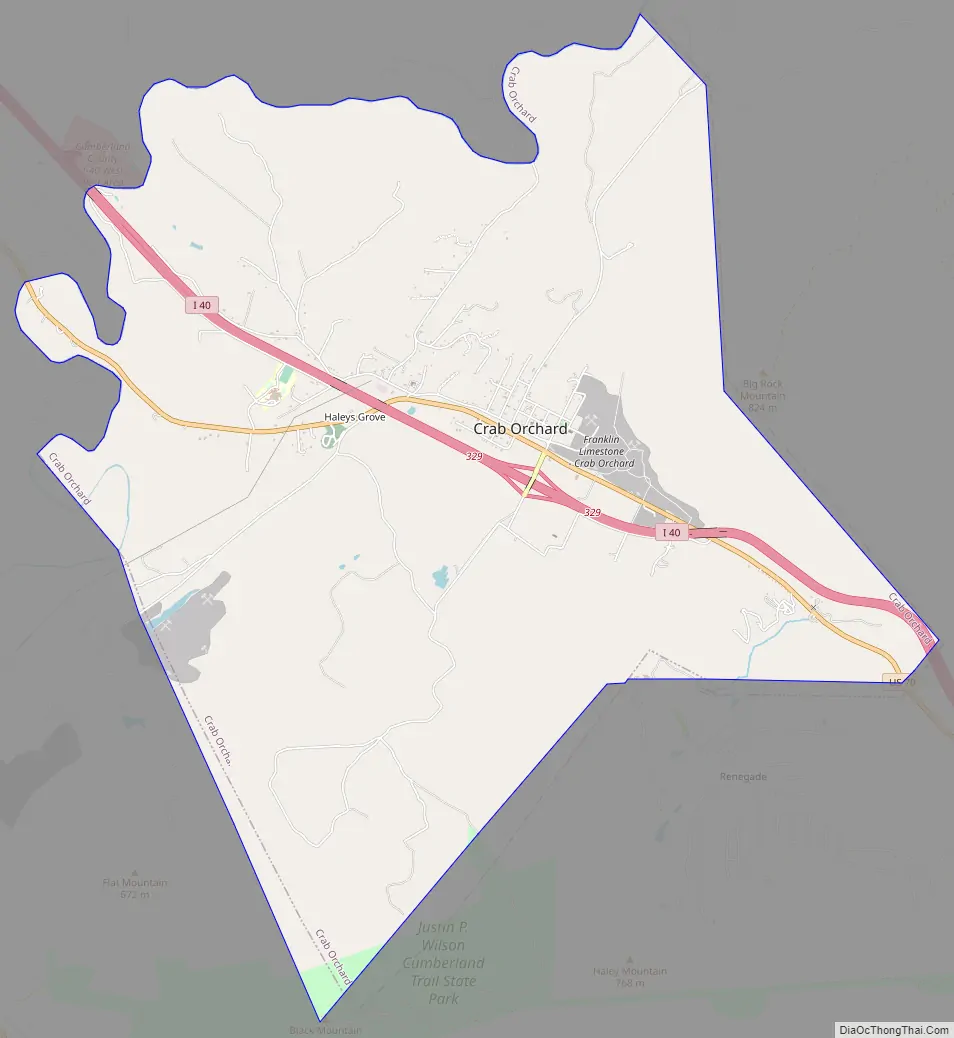
Online Interactive Map
Click on ![]() to view map in "full screen" mode.
to view map in "full screen" mode.
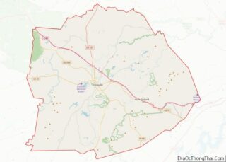
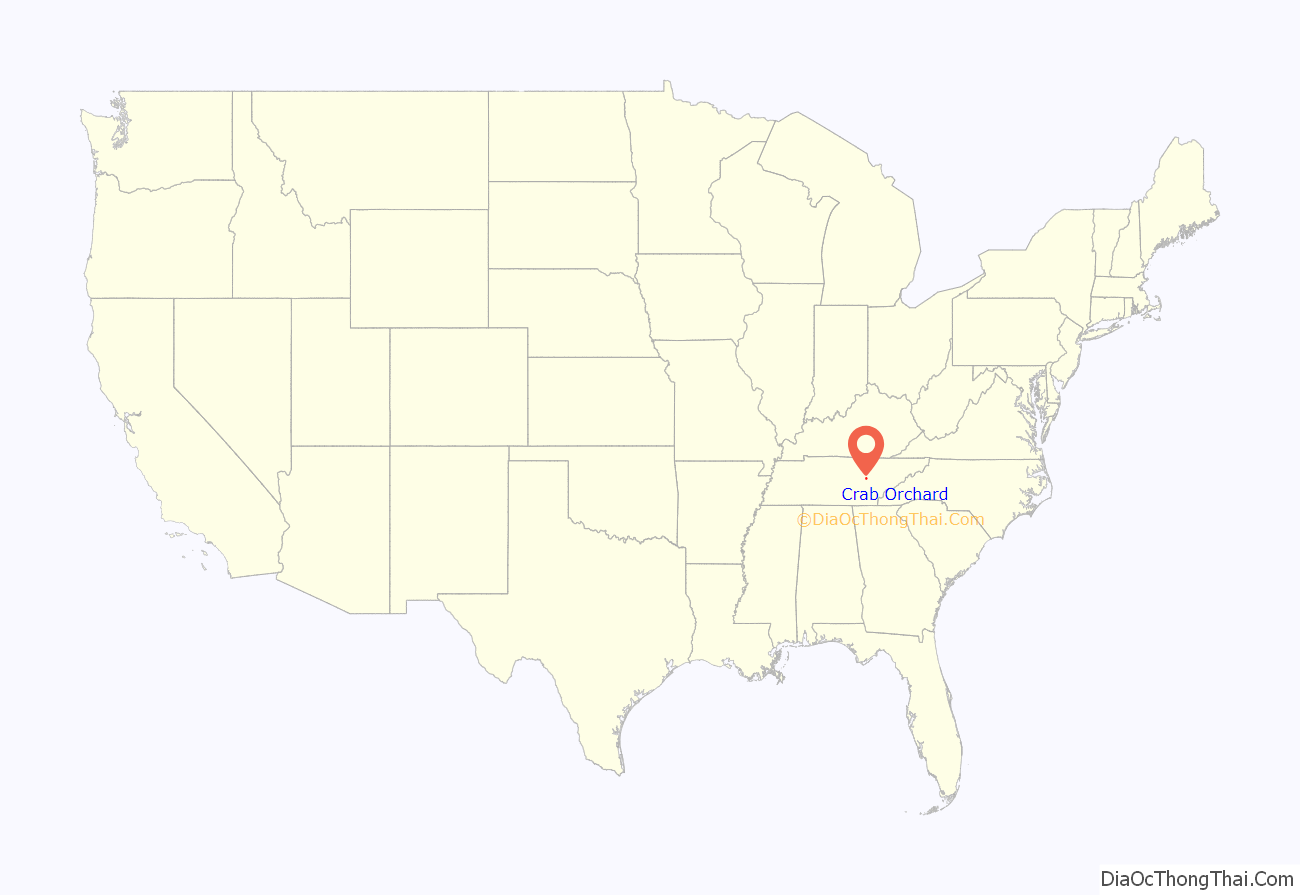
Crab Orchard location map. Where is Crab Orchard city?
History
Crab Orchard’s position in a gap in the Crab Orchard Mountains made it a gateway to the Cumberland area as early as the late 18th century. Pioneers passing through the area named it for its abundance of wild crab apple trees. In the 1780s, a road was built through the gap to help provide protection for travelers migrating from East Tennessee to the Nashville area.
The historian J. G. M. Ramsey reported several Cherokee, Creek, and Shawnee attacks at “the Crab-Orchard” during a period of heightened tensions between Native Americans and encroaching Euro-American settlers in the early 1790s. Around 1792, a small band of troops led by Captain Samuel Handley was attacked by a mixed group of Cherokee, Creek, and Shawnee at Crab Orchard, ending in Handley’s capture. In April 1794, a group of travelers was ambushed by a band of Creeks, killing early Cumberland County settler Thomas ‘Big Foot’ Spencer. A few weeks later, a Lieutenant McClelland was attacked and routed by a band of Creeks at Crab Orchard.
In the late 18th century, as Cherokee attacks subsided, the Walton Road was built as part of the stage road system connecting the Knoxville and Nashville areas. The road passed through Crab Orchard, bringing a steady stream of travelers and migrants to the area. Around 1800, Sidnor’s Inn opened at Crab Orchard, with Bishop Francis Asbury being among its earliest guests. In 1827, Robert Burke, whose wife operated a tavern at what is now Ozone established the Crab Orchard Inn, which remained open until the early 20th century.
Crab Orchard received its fame from a rare type of durable sandstone found in its vicinity. First used in local structures and sidewalks in the late 19th century, the Crab Orchard stone gained popularity in the 1920s when it was used in the construction of Scarritt College in Nashville. Numerous buildings in Crossville have been constructed with Crab Orchard stone.
Crab Orchard is home to a large limestone mine operated by Lhoist North America. The mine and its accompanying plant dominate the south side of the Crab Orchard gap along Interstate 40 and US-70.
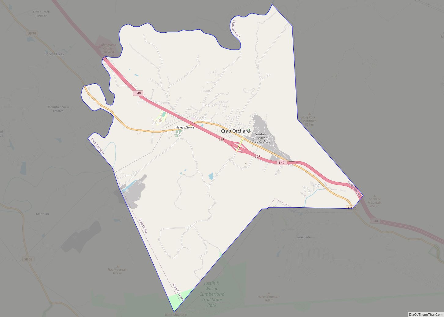
Crab Orchard Road Map
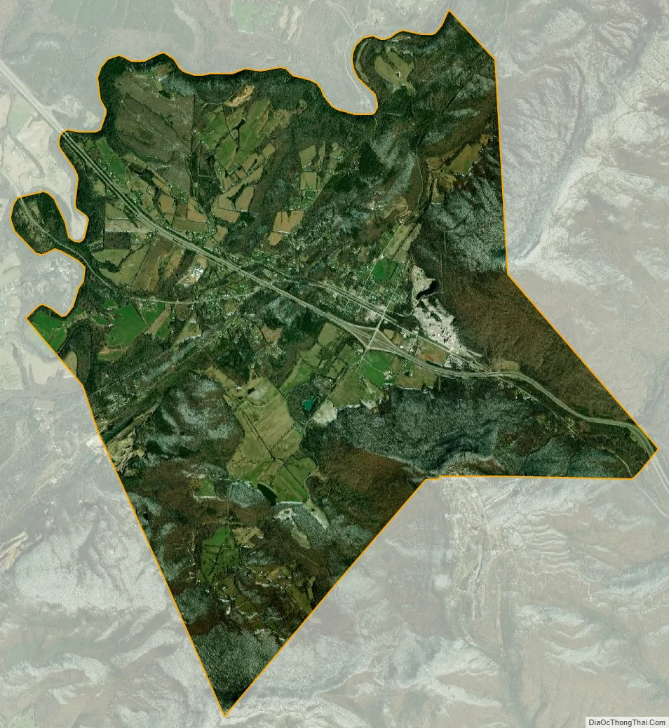
Crab Orchard city Satellite Map
Geography
Crab Orchard is located at 35°54′21″N 84°52′38″W / 35.905965°N 84.877239°W / 35.905965; -84.877239 (35.905965, -84.877239). The town is situated atop the Cumberland Plateau in a gap amidst the Crab Orchard Mountains, a sub-range of the Cumberland Mountains. This gap has long been frequented by travelers between East and Middle Tennessee. Today, both Interstate 40 and U.S. Route 70 pass through Crab Orchard.
Big Rock Mountain (el. 2,703 ft/824m) rises prominently to the north of Crab Orchard. Haley Mountain (el. 2,660 ft/811m) and Black Mountain (2,827 ft/861m) dominate the view to the south. A section of the Cumberland Trail will, when completed, traverse Crab Orchard from north to south.
According to the United States Census Bureau, the city has a total area of 11.1 square miles (29 km), all land.
See also
Map of Tennessee State and its subdivision:- Anderson
- Bedford
- Benton
- Bledsoe
- Blount
- Bradley
- Campbell
- Cannon
- Carroll
- Carter
- Cheatham
- Chester
- Claiborne
- Clay
- Cocke
- Coffee
- Crockett
- Cumberland
- Davidson
- Decatur
- DeKalb
- Dickson
- Dyer
- Fayette
- Fentress
- Franklin
- Gibson
- Giles
- Grainger
- Greene
- Grundy
- Hamblen
- Hamilton
- Hancock
- Hardeman
- Hardin
- Hawkins
- Haywood
- Henderson
- Henry
- Hickman
- Houston
- Humphreys
- Jackson
- Jefferson
- Johnson
- Knox
- Lake
- Lauderdale
- Lawrence
- Lewis
- Lincoln
- Loudon
- Macon
- Madison
- Marion
- Marshall
- Maury
- McMinn
- McNairy
- Meigs
- Monroe
- Montgomery
- Moore
- Morgan
- Obion
- Overton
- Perry
- Pickett
- Polk
- Putnam
- Rhea
- Roane
- Robertson
- Rutherford
- Scott
- Sequatchie
- Sevier
- Shelby
- Smith
- Stewart
- Sullivan
- Sumner
- Tipton
- Trousdale
- Unicoi
- Union
- Van Buren
- Warren
- Washington
- Wayne
- Weakley
- White
- Williamson
- Wilson
- Alabama
- Alaska
- Arizona
- Arkansas
- California
- Colorado
- Connecticut
- Delaware
- District of Columbia
- Florida
- Georgia
- Hawaii
- Idaho
- Illinois
- Indiana
- Iowa
- Kansas
- Kentucky
- Louisiana
- Maine
- Maryland
- Massachusetts
- Michigan
- Minnesota
- Mississippi
- Missouri
- Montana
- Nebraska
- Nevada
- New Hampshire
- New Jersey
- New Mexico
- New York
- North Carolina
- North Dakota
- Ohio
- Oklahoma
- Oregon
- Pennsylvania
- Rhode Island
- South Carolina
- South Dakota
- Tennessee
- Texas
- Utah
- Vermont
- Virginia
- Washington
- West Virginia
- Wisconsin
- Wyoming