Crossville is a city in and the county seat of Cumberland County, Tennessee, United States. It is part of the Crossville Micropolitan Statistical Area. The population was 12,071 at the 2020 census.
| Name: | Crossville city |
|---|---|
| LSAD Code: | 25 |
| LSAD Description: | city (suffix) |
| State: | Tennessee |
| County: | Cumberland County |
| Incorporated: | 1901 |
| Elevation: | 1,857 ft (566 m) |
| Total Area: | 20.86 sq mi (54.03 km²) |
| Land Area: | 20.45 sq mi (52.95 km²) |
| Water Area: | 0.42 sq mi (1.08 km²) |
| Total Population: | 12,071 |
| Population Density: | 590.41/sq mi (227.96/km²) |
| ZIP code: | 38555, 38557, 38558, 38571, 38572 |
| Area code: | 931 |
| FIPS code: | 4718540 |
| GNISfeature ID: | 1306203 |
| Website: | crossvilletn.gov |
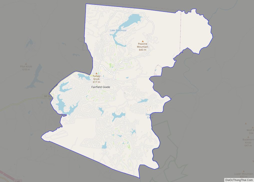
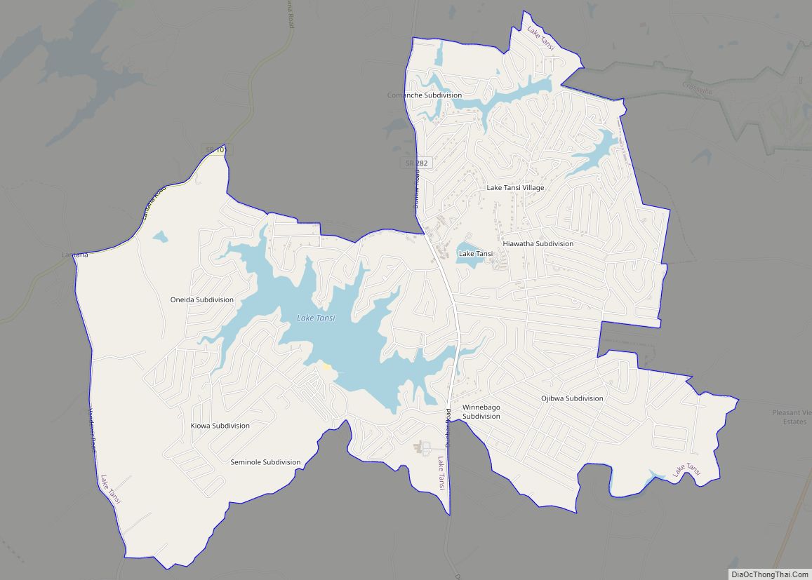
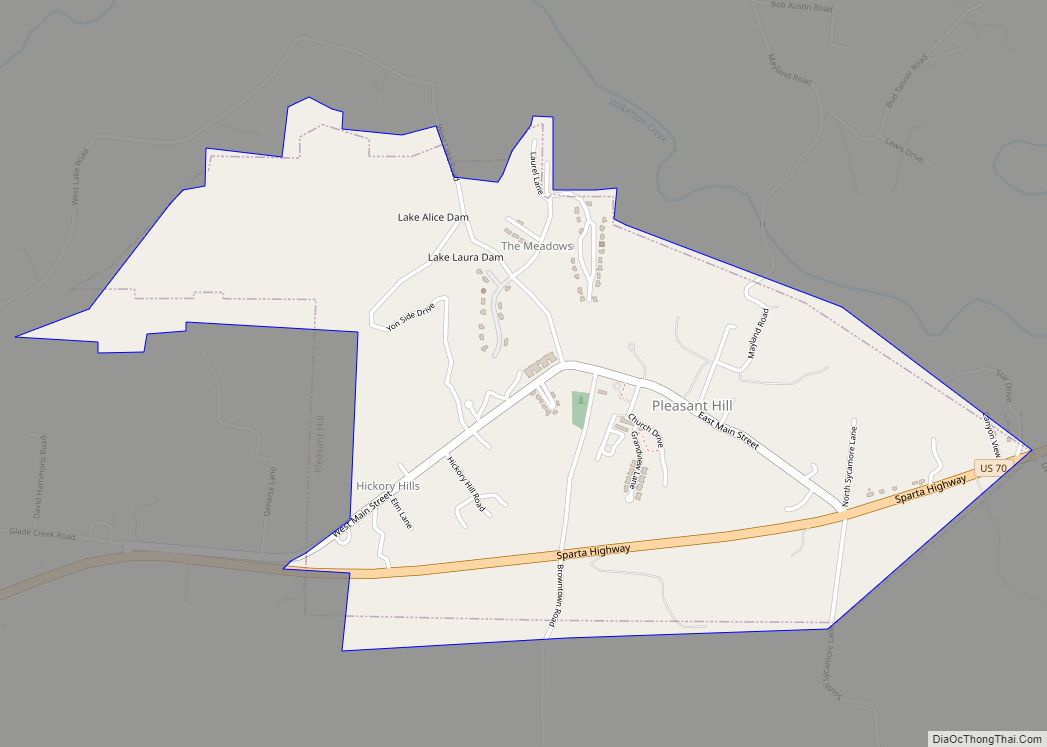
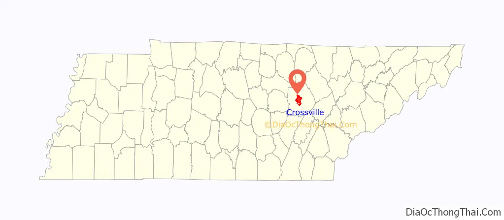
Online Interactive Map
Click on ![]() to view map in "full screen" mode.
to view map in "full screen" mode.
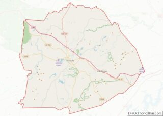
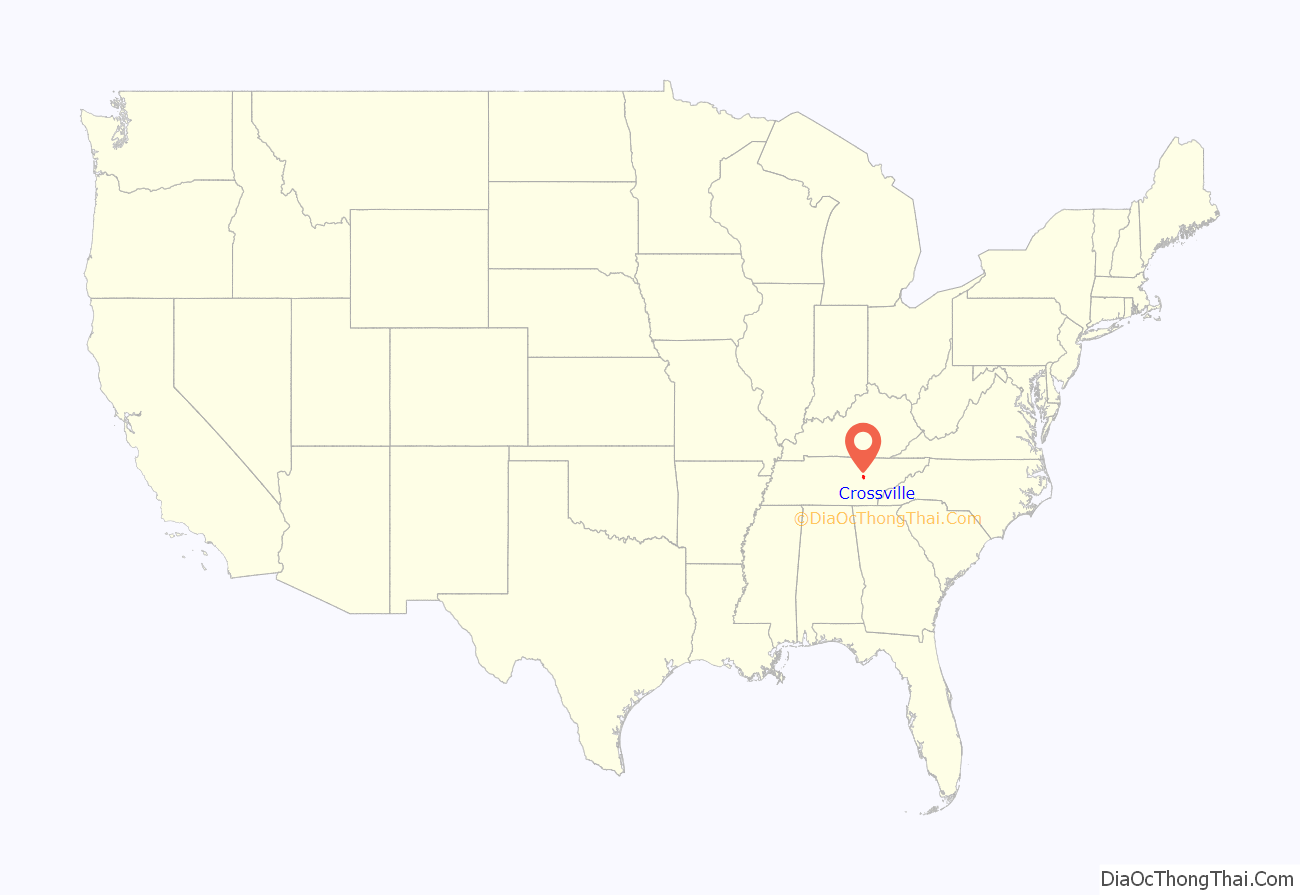
Crossville location map. Where is Crossville city?
History
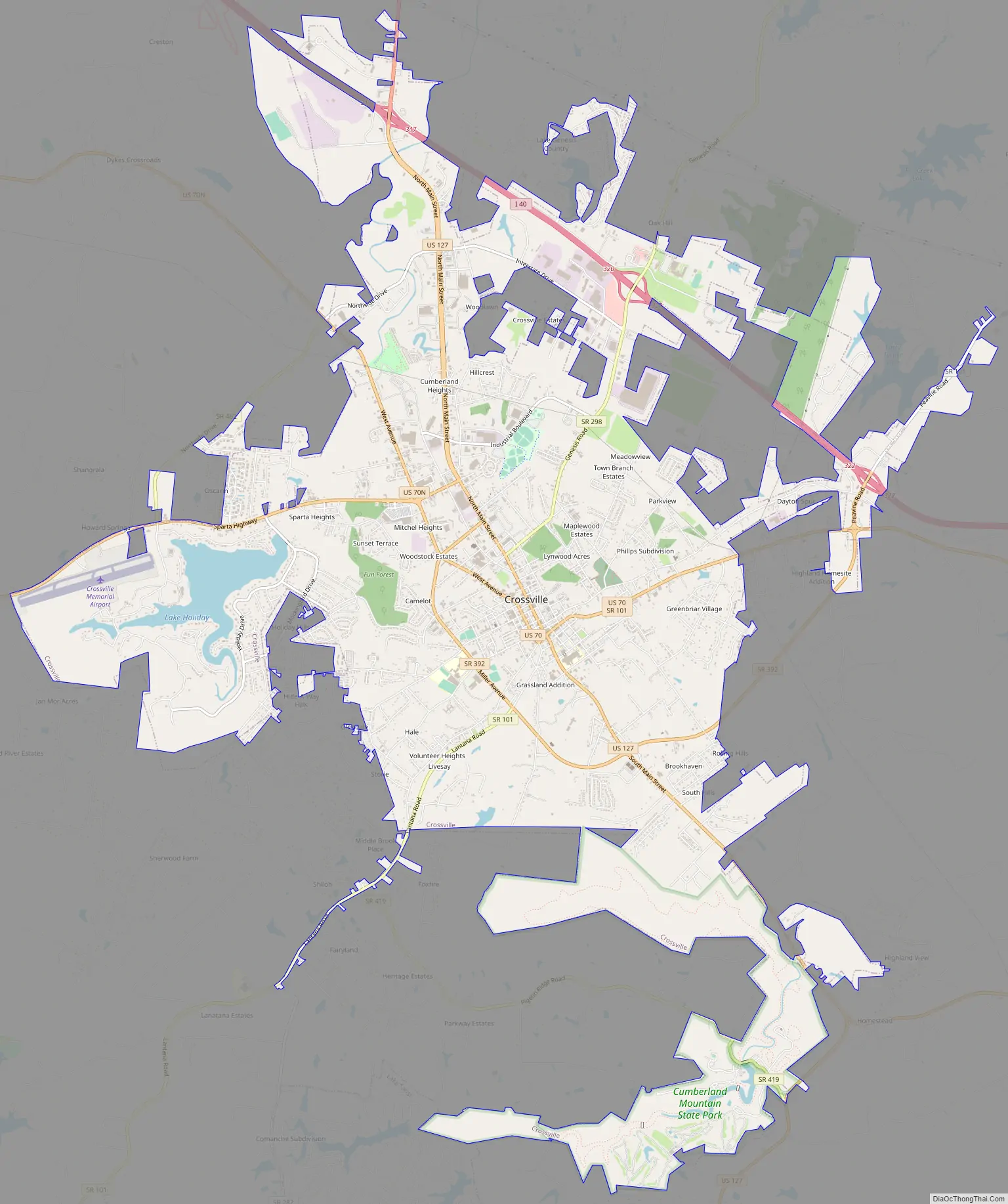
Crossville developed at the intersection of a branch of the Great Stage Road, which connected the Knoxville area with the Nashville area, and the Kentucky Stock Road, a cattle drovers’ path connecting Middle Tennessee with Kentucky and later extending south to Chattanooga. These two roads are roughly paralleled by modern US-70 and US-127, respectively.
Around 1800, an early American settler, Samuel Lambeth, opened a store at this junction, and the small community that developed around it became known as Lambeth’s Crossroads. The store was at what has become the intersection of Main and Stanley Streets, just south of the courthouse. By the time a post office was established in the 1830s, the community had taken the name “Crossville”. In the early 1850s, James Scott, a merchant from nearby Sparta, purchased Lambeth’s store and renamed it Scott’s Tavern.
When Cumberland County was formed in 1856, Crossville, being nearest to the center of the county, was chosen as county seat. Scott donated the initial 40 acres (160,000 m) for the erection of a courthouse and town square.
Crossville and Cumberland County suffered rampant pillaging throughout the Civil War as the well-developed roads made the area accessible to both occupying Union and Confederate forces and bands of renegade guerrillas. With divided communities and families, there was vicious guerrilla warfare, and residents suffered as if there were major battles in the area. The county was divided throughout the conflict, sending a roughly equal number of troops to both sides.
After World War I, U.S. 70 helped connect the town and area to markets for its produce and goods. Additional highways built after World War II improved transportation in the region.
During the Great Depression, the federal government’s Subsistence Homestead Division initiated a housing project south of Crossville known as the Cumberland Homesteads. The project’s purpose was to provide small farms for several hundred impoverished families. The project’s recreational area later became the nucleus for Cumberland Mountain State Park. In 1934, First Lady Eleanor Roosevelt visited Crossville and the Cumberland Homesteads Project.
Crossville was a sundown town as late as the 1950s, with a sign at the city limits warning African Americans not to stay after nightfall.
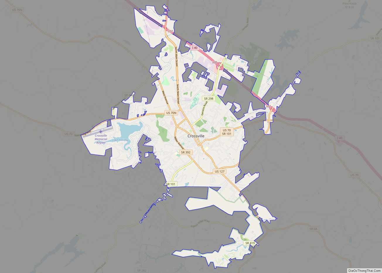
Crossville Road Map
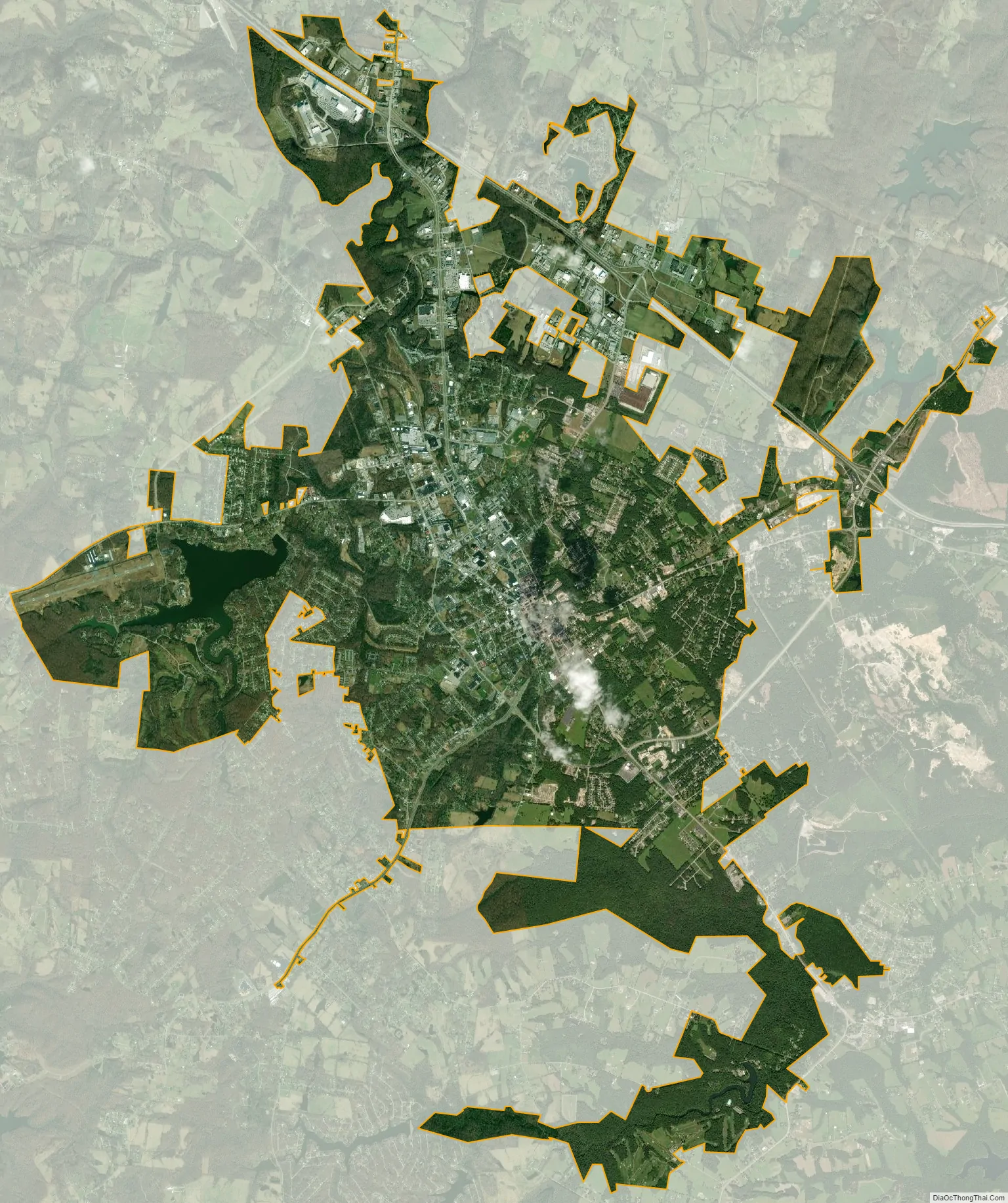
Crossville city Satellite Map
Geography
Crossville is located at the center of Cumberland County at 35°57′15″N 85°1′53″W / 35.95417°N 85.03139°W / 35.95417; -85.03139 (35.954221, -85.031267). The city is situated atop the Cumberland Plateau amid the headwaters of the Obed River, which slices a gorge north of Crossville en route to its confluence with the Emory River to the northeast. Crossville is roughly halfway between the plateau’s eastern escarpment along Walden Ridge and its western escarpment along the Highland Rim. Several small lakes are on Crossville’s outskirts, including Lake Tansi to the south, Lake Holiday to the west, and Byrd Lake at nearby Cumberland Mountain State Park. The average elevation of Crossville is about 1,890 feet (580 m) above sea level.
Crossville developed at the intersection of two major stage roads by which settlers moved through the area. The roads were gradually widened, improved and turned into paved roads. Two major federal highways—U.S. Route 70, which traverses Tennessee from east to west, and U.S. Route 127, which traverses Tennessee from north to south—now roughly follow the old routes. Interstate 40, which runs roughly parallel to U.S. 70, passes through the northern part of Crossville. Crossville is about 35 miles (56 km) east of Cookeville, 80 miles (130 km) north of Chattanooga, and 70 miles (110 km) west of Knoxville.
According to the United States Census Bureau, Crossville has an area of 20.3 square miles (52.7 km), of which 20.0 square miles (51.7 km) is land and 0.4 square miles (1.0 km), or 1.95%, is water.
See also
Map of Tennessee State and its subdivision:- Anderson
- Bedford
- Benton
- Bledsoe
- Blount
- Bradley
- Campbell
- Cannon
- Carroll
- Carter
- Cheatham
- Chester
- Claiborne
- Clay
- Cocke
- Coffee
- Crockett
- Cumberland
- Davidson
- Decatur
- DeKalb
- Dickson
- Dyer
- Fayette
- Fentress
- Franklin
- Gibson
- Giles
- Grainger
- Greene
- Grundy
- Hamblen
- Hamilton
- Hancock
- Hardeman
- Hardin
- Hawkins
- Haywood
- Henderson
- Henry
- Hickman
- Houston
- Humphreys
- Jackson
- Jefferson
- Johnson
- Knox
- Lake
- Lauderdale
- Lawrence
- Lewis
- Lincoln
- Loudon
- Macon
- Madison
- Marion
- Marshall
- Maury
- McMinn
- McNairy
- Meigs
- Monroe
- Montgomery
- Moore
- Morgan
- Obion
- Overton
- Perry
- Pickett
- Polk
- Putnam
- Rhea
- Roane
- Robertson
- Rutherford
- Scott
- Sequatchie
- Sevier
- Shelby
- Smith
- Stewart
- Sullivan
- Sumner
- Tipton
- Trousdale
- Unicoi
- Union
- Van Buren
- Warren
- Washington
- Wayne
- Weakley
- White
- Williamson
- Wilson
- Alabama
- Alaska
- Arizona
- Arkansas
- California
- Colorado
- Connecticut
- Delaware
- District of Columbia
- Florida
- Georgia
- Hawaii
- Idaho
- Illinois
- Indiana
- Iowa
- Kansas
- Kentucky
- Louisiana
- Maine
- Maryland
- Massachusetts
- Michigan
- Minnesota
- Mississippi
- Missouri
- Montana
- Nebraska
- Nevada
- New Hampshire
- New Jersey
- New Mexico
- New York
- North Carolina
- North Dakota
- Ohio
- Oklahoma
- Oregon
- Pennsylvania
- Rhode Island
- South Carolina
- South Dakota
- Tennessee
- Texas
- Utah
- Vermont
- Virginia
- Washington
- West Virginia
- Wisconsin
- Wyoming