Cumberland City is a town in Stewart County, Tennessee. The population was 311 at the 2010 census. It is part of the Clarksville, TN — Kentucky Metropolitan Statistical Area.
Cumberland City is the site of a TVA Cumberland Fossil Plant along the Cumberland River that provides 2.6 gigawatts of electric power to much of the area, including the cities of Clarksville in Montgomery County and Dickson in Dickson County.
The power plant’s stacks (some of the tallest structures in the state) can be seen for at least 30 miles (48 km) away.
| Name: | Cumberland City town |
|---|---|
| LSAD Code: | 43 |
| LSAD Description: | town (suffix) |
| State: | Tennessee |
| County: | Stewart County |
| Elevation: | 384 ft (117 m) |
| Total Area: | 5.28 sq mi (13.68 km²) |
| Land Area: | 5.00 sq mi (12.96 km²) |
| Water Area: | 0.28 sq mi (0.72 km²) |
| Total Population: | 305 |
| Population Density: | 60.94/sq mi (23.53/km²) |
| ZIP code: | 37050 |
| Area code: | 931 |
| FIPS code: | 4718820 |
| GNISfeature ID: | 1306226 |
Online Interactive Map
Click on ![]() to view map in "full screen" mode.
to view map in "full screen" mode.
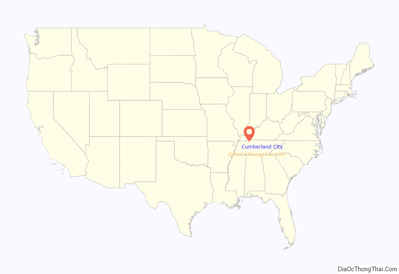
Cumberland City location map. Where is Cumberland City town?
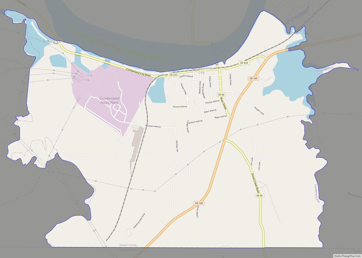
Cumberland City Road Map
Cumberland City city Satellite Map
Geography
Cumberland City is located at 36°23′26″N 87°38′27″W / 36.39056°N 87.64083°W / 36.39056; -87.64083 (36.390469, -87.640801).
According to the United States Census Bureau, the town has a total area of 5.3 square miles (13.7 km), of which 4.8 square miles (12 km) is land and 0.5 square miles (1.3 km), or 8.9% is water.
There is an impact crater centered at Wells Creek, just south of the Cumberland Fossil Plant.
See also
Map of Tennessee State and its subdivision:- Anderson
- Bedford
- Benton
- Bledsoe
- Blount
- Bradley
- Campbell
- Cannon
- Carroll
- Carter
- Cheatham
- Chester
- Claiborne
- Clay
- Cocke
- Coffee
- Crockett
- Cumberland
- Davidson
- Decatur
- DeKalb
- Dickson
- Dyer
- Fayette
- Fentress
- Franklin
- Gibson
- Giles
- Grainger
- Greene
- Grundy
- Hamblen
- Hamilton
- Hancock
- Hardeman
- Hardin
- Hawkins
- Haywood
- Henderson
- Henry
- Hickman
- Houston
- Humphreys
- Jackson
- Jefferson
- Johnson
- Knox
- Lake
- Lauderdale
- Lawrence
- Lewis
- Lincoln
- Loudon
- Macon
- Madison
- Marion
- Marshall
- Maury
- McMinn
- McNairy
- Meigs
- Monroe
- Montgomery
- Moore
- Morgan
- Obion
- Overton
- Perry
- Pickett
- Polk
- Putnam
- Rhea
- Roane
- Robertson
- Rutherford
- Scott
- Sequatchie
- Sevier
- Shelby
- Smith
- Stewart
- Sullivan
- Sumner
- Tipton
- Trousdale
- Unicoi
- Union
- Van Buren
- Warren
- Washington
- Wayne
- Weakley
- White
- Williamson
- Wilson
- Alabama
- Alaska
- Arizona
- Arkansas
- California
- Colorado
- Connecticut
- Delaware
- District of Columbia
- Florida
- Georgia
- Hawaii
- Idaho
- Illinois
- Indiana
- Iowa
- Kansas
- Kentucky
- Louisiana
- Maine
- Maryland
- Massachusetts
- Michigan
- Minnesota
- Mississippi
- Missouri
- Montana
- Nebraska
- Nevada
- New Hampshire
- New Jersey
- New Mexico
- New York
- North Carolina
- North Dakota
- Ohio
- Oklahoma
- Oregon
- Pennsylvania
- Rhode Island
- South Carolina
- South Dakota
- Tennessee
- Texas
- Utah
- Vermont
- Virginia
- Washington
- West Virginia
- Wisconsin
- Wyoming


