Dickson is a city in the U.S. state of Tennessee. Located in Dickson County. It is part of the Nashville metropolitan area. As of the 2020 census, Dickson’s population was 16,058.
| Name: | Dickson city |
|---|---|
| LSAD Code: | 25 |
| LSAD Description: | city (suffix) |
| State: | Tennessee |
| County: | Dickson County |
| Elevation: | 804 ft (245 m) |
| Total Area: | 20.41 sq mi (52.85 km²) |
| Land Area: | 20.32 sq mi (52.64 km²) |
| Water Area: | 0.08 sq mi (0.21 km²) |
| Total Population: | 16,058 |
| Population Density: | 790.10/sq mi (305.06/km²) |
| ZIP code: | 37055-37056 |
| Area code: | 615 |
| FIPS code: | 4720620 |
| GNISfeature ID: | 1303436 |
| Website: | www.cityofdickson.com |
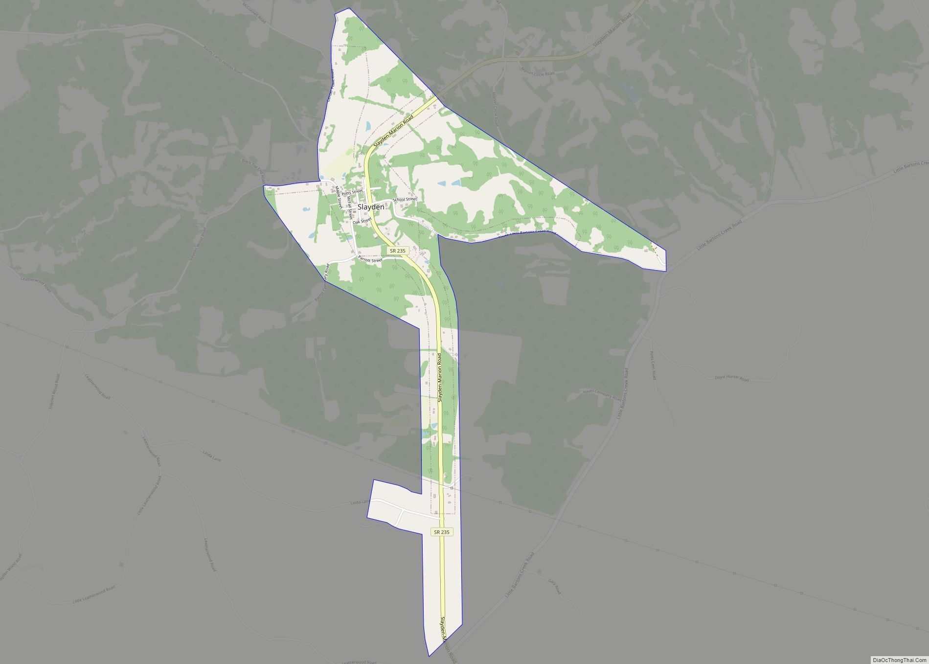
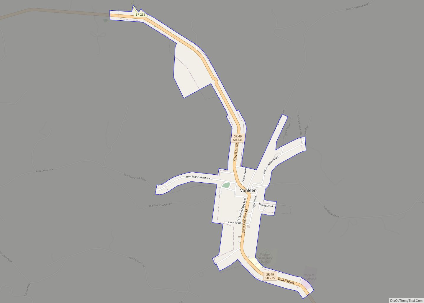
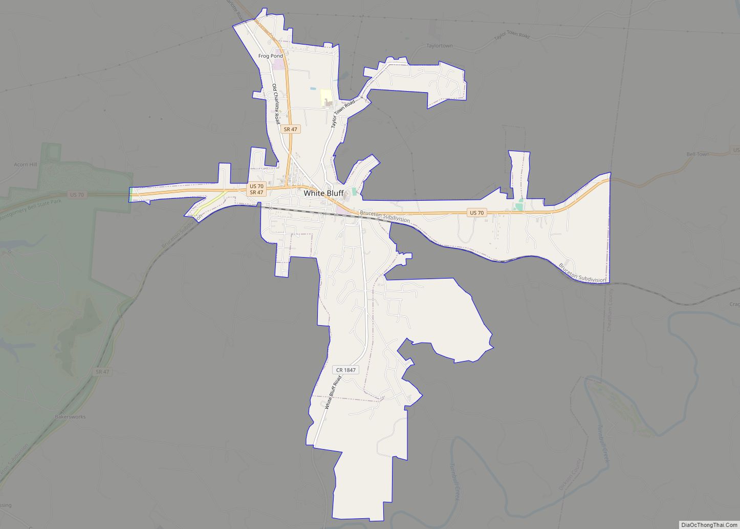
Online Interactive Map
Click on ![]() to view map in "full screen" mode.
to view map in "full screen" mode.
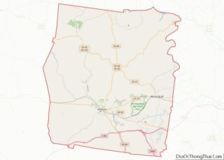
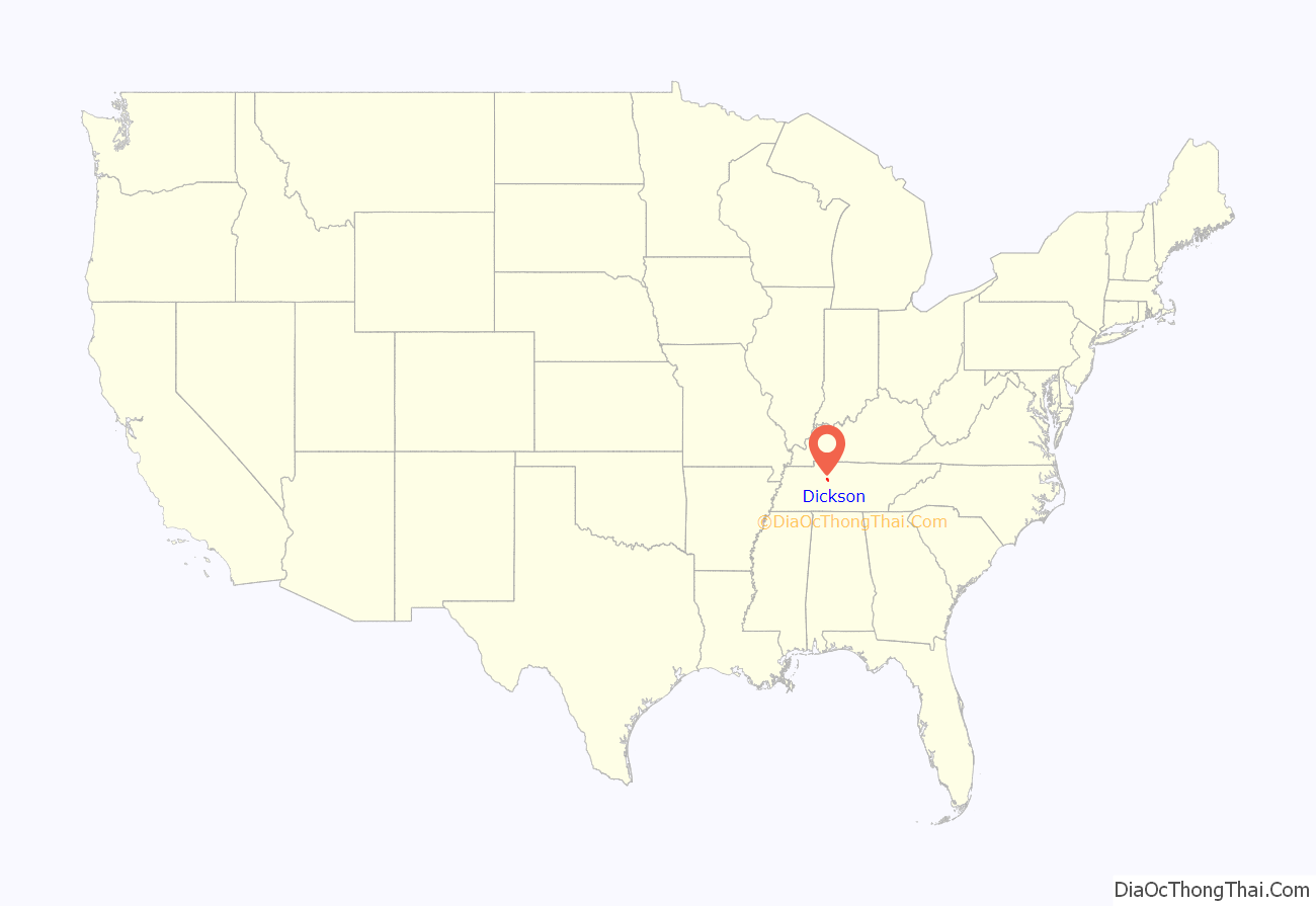
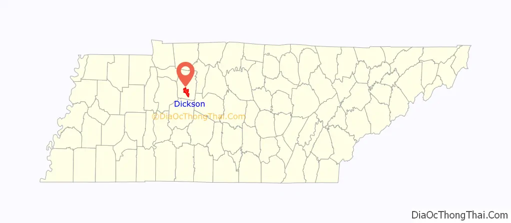
Dickson location map. Where is Dickson city?
History
Dickson was named for Congressman William Dickson, as was Dickson County. The City started as a stop on the railroad line between Nashville and the Tennessee River. When Union Troops had finished the supply line during the Civil War, the area was known as Mile 42 post.
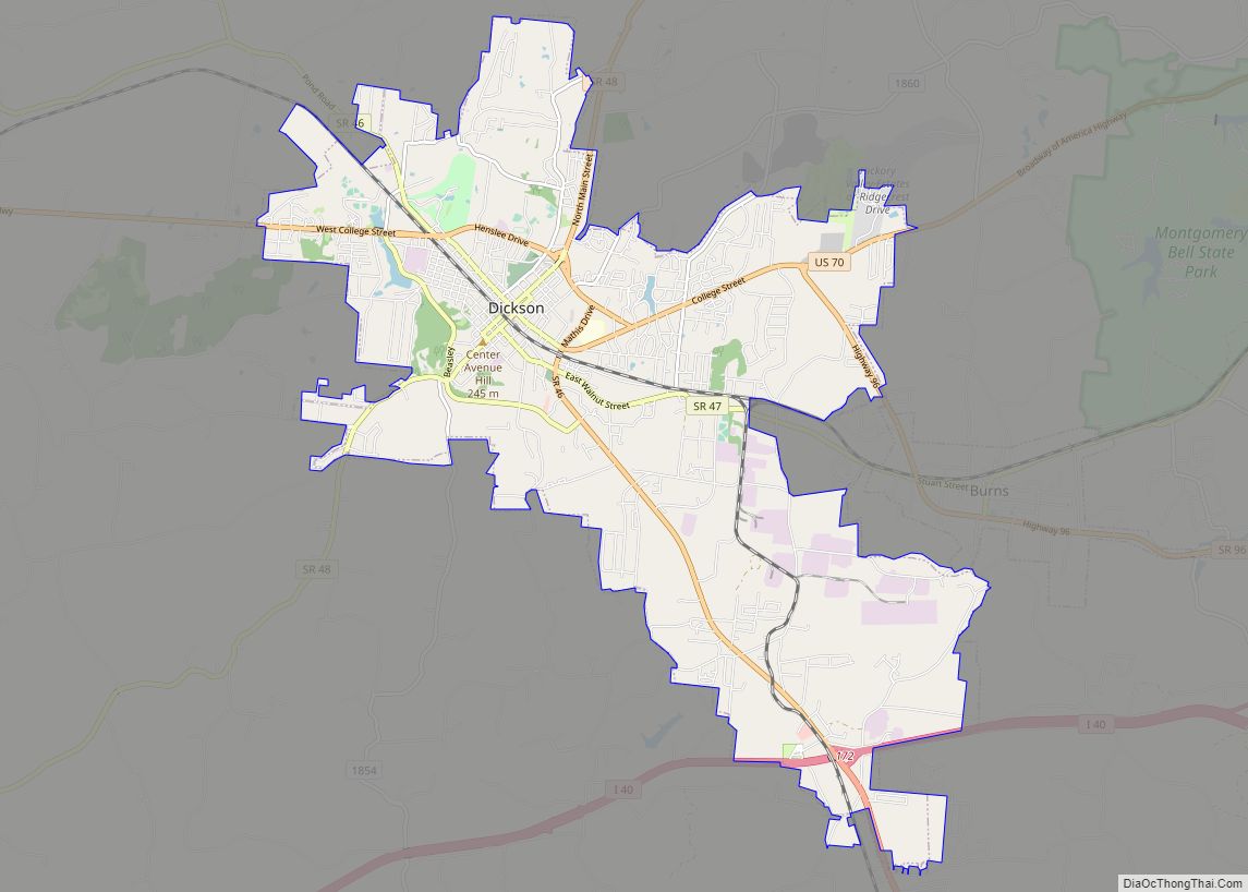
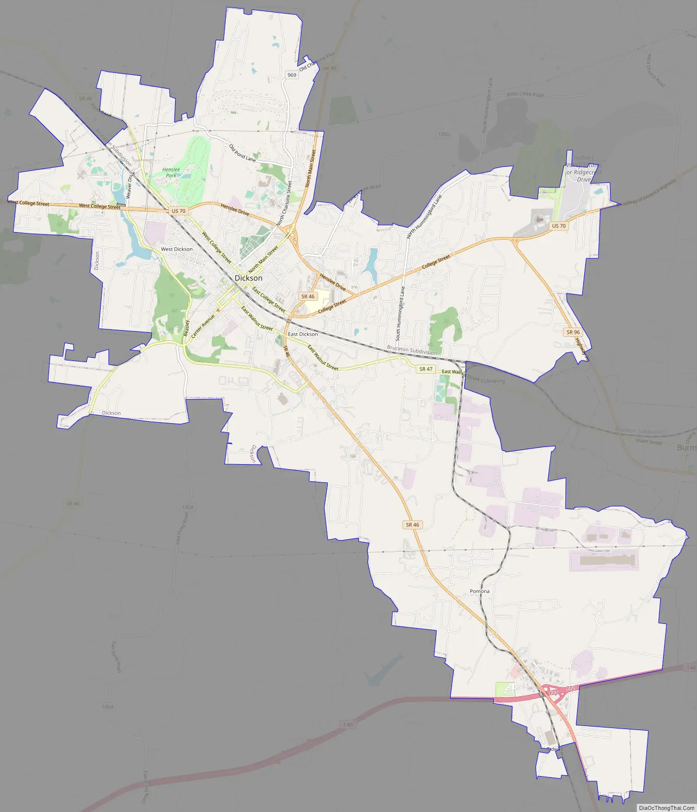
Dickson Road Map
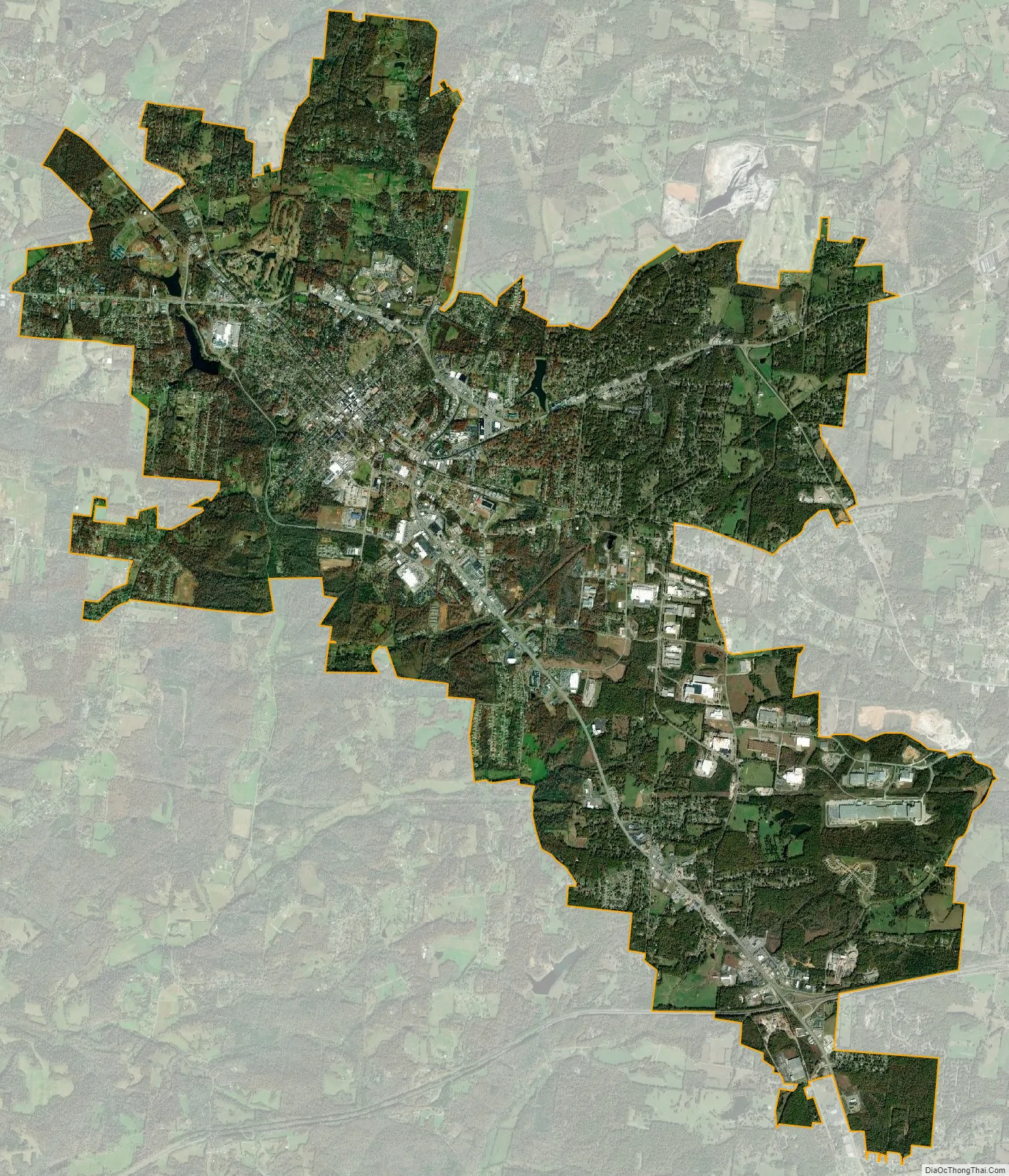
Dickson city Satellite Map
Geography
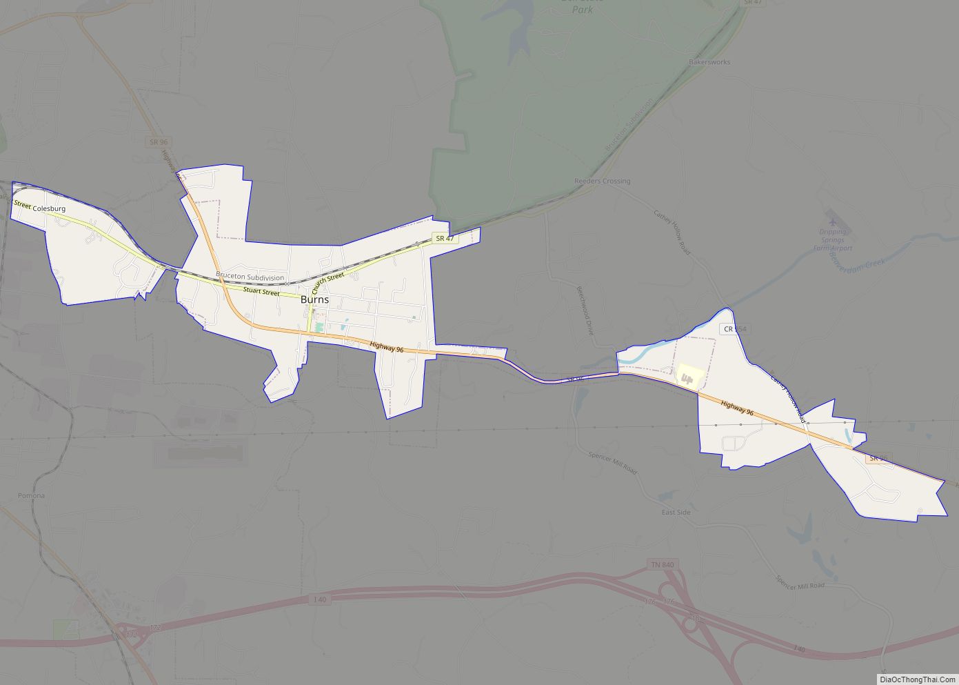
Dickson is located in south-central Dickson County at 36°4′17″N 87°22′28″W / 36.07139°N 87.37444°W / 36.07139; -87.37444 (36.071485, -87.374539). It is bordered to the east by the town of Burns. U.S. Route 70 passes through the north side of the city as Henslee Drive; it leads east 40 miles (64 km) to Nashville and west 62 miles (100 km) to Huntingdon. Interstate 40 passes through the Dickson city limits 5 miles (8 km) south of the center of town, with access from Exit 172 (Tennessee State Route 46). I-40 leads east 37 miles (60 km) to Nashville from Exit 172 and west 92 miles (148 km) to Jackson.
According to the United States Census Bureau, Dickson has a total area of 20.0 square miles (51.9 km), of which 20.0 square miles (51.7 km) is land and 0.1 square miles (0.2 km), or 0.41%, is water. The city center sits on the Tennessee Valley Divide, with the southwest side of the city draining via the East Piney River to the Piney River, then to the Duck River, and then to the Tennessee River, while the northeast side drains via Turnbull Creek or Jones Creek to the Harpeth River and thence to the Cumberland River.
Climate
See also
Map of Tennessee State and its subdivision:- Anderson
- Bedford
- Benton
- Bledsoe
- Blount
- Bradley
- Campbell
- Cannon
- Carroll
- Carter
- Cheatham
- Chester
- Claiborne
- Clay
- Cocke
- Coffee
- Crockett
- Cumberland
- Davidson
- Decatur
- DeKalb
- Dickson
- Dyer
- Fayette
- Fentress
- Franklin
- Gibson
- Giles
- Grainger
- Greene
- Grundy
- Hamblen
- Hamilton
- Hancock
- Hardeman
- Hardin
- Hawkins
- Haywood
- Henderson
- Henry
- Hickman
- Houston
- Humphreys
- Jackson
- Jefferson
- Johnson
- Knox
- Lake
- Lauderdale
- Lawrence
- Lewis
- Lincoln
- Loudon
- Macon
- Madison
- Marion
- Marshall
- Maury
- McMinn
- McNairy
- Meigs
- Monroe
- Montgomery
- Moore
- Morgan
- Obion
- Overton
- Perry
- Pickett
- Polk
- Putnam
- Rhea
- Roane
- Robertson
- Rutherford
- Scott
- Sequatchie
- Sevier
- Shelby
- Smith
- Stewart
- Sullivan
- Sumner
- Tipton
- Trousdale
- Unicoi
- Union
- Van Buren
- Warren
- Washington
- Wayne
- Weakley
- White
- Williamson
- Wilson
- Alabama
- Alaska
- Arizona
- Arkansas
- California
- Colorado
- Connecticut
- Delaware
- District of Columbia
- Florida
- Georgia
- Hawaii
- Idaho
- Illinois
- Indiana
- Iowa
- Kansas
- Kentucky
- Louisiana
- Maine
- Maryland
- Massachusetts
- Michigan
- Minnesota
- Mississippi
- Missouri
- Montana
- Nebraska
- Nevada
- New Hampshire
- New Jersey
- New Mexico
- New York
- North Carolina
- North Dakota
- Ohio
- Oklahoma
- Oregon
- Pennsylvania
- Rhode Island
- South Carolina
- South Dakota
- Tennessee
- Texas
- Utah
- Vermont
- Virginia
- Washington
- West Virginia
- Wisconsin
- Wyoming