Doyle is a town in White County, Tennessee, United States. The population was 537 at the 2010 census.
| Name: | Doyle town |
|---|---|
| LSAD Code: | 43 |
| LSAD Description: | town (suffix) |
| State: | Tennessee |
| County: | White County |
| Incorporated: | 1905 |
| Elevation: | 951 ft (290 m) |
| Total Area: | 1.24 sq mi (3.20 km²) |
| Land Area: | 1.24 sq mi (3.20 km²) |
| Water Area: | 0.00 sq mi (0.00 km²) |
| Total Population: | 493 |
| Population Density: | 398.87/sq mi (154.02/km²) |
| ZIP code: | 38559 |
| Area code: | 931 |
| FIPS code: | 4721500 |
| GNISfeature ID: | 1282764 |
Online Interactive Map
Click on ![]() to view map in "full screen" mode.
to view map in "full screen" mode.
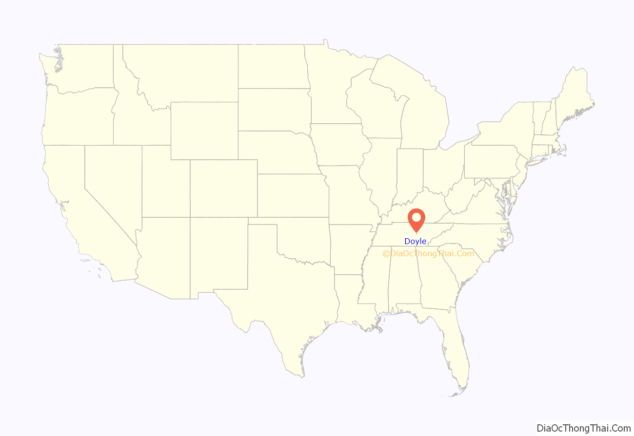
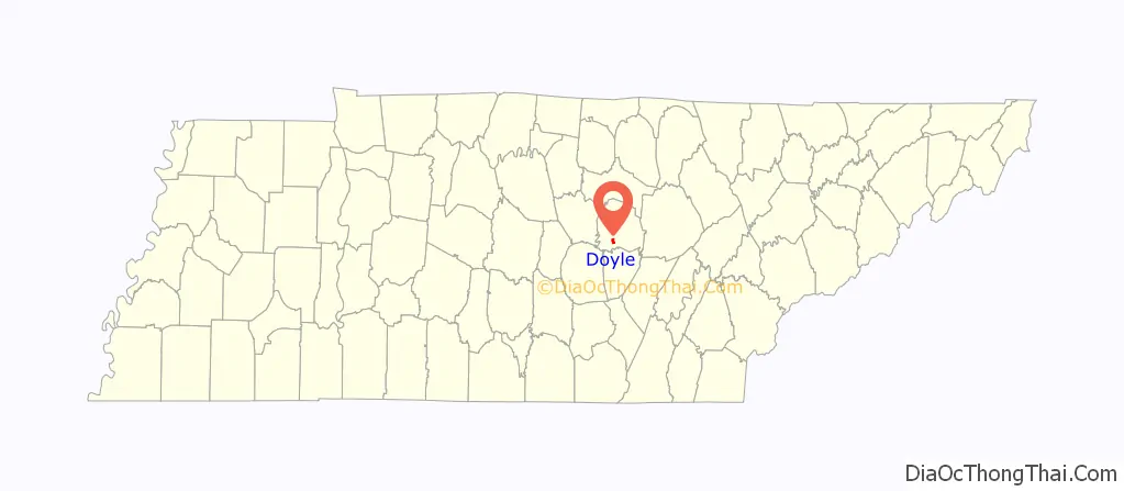
Doyle location map. Where is Doyle town?
History
Doyle, originally known as Doyle Station, developed as a railroad stop in the early 1880s. By 1884, Doyle College had been established, and would operate in the town for more than four decades. Goodspeed’s History of White County, Tennessee, published in the late 1880s, indicated the town had about 150 residents. The town incorporated in 1905.
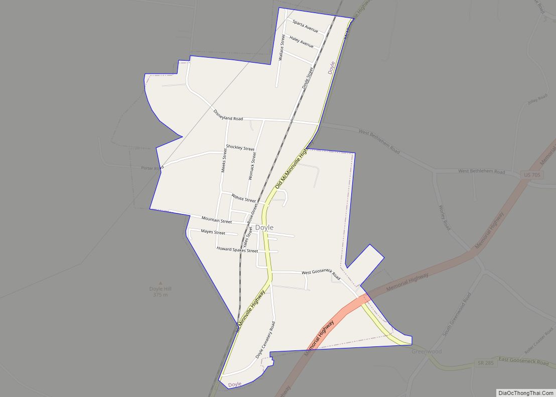
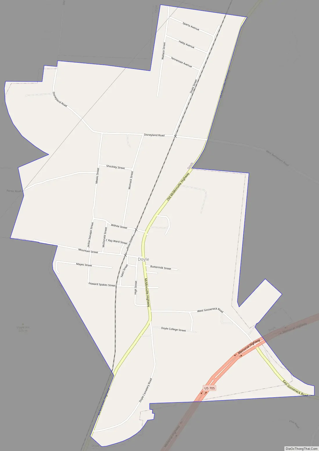
Doyle Road Map
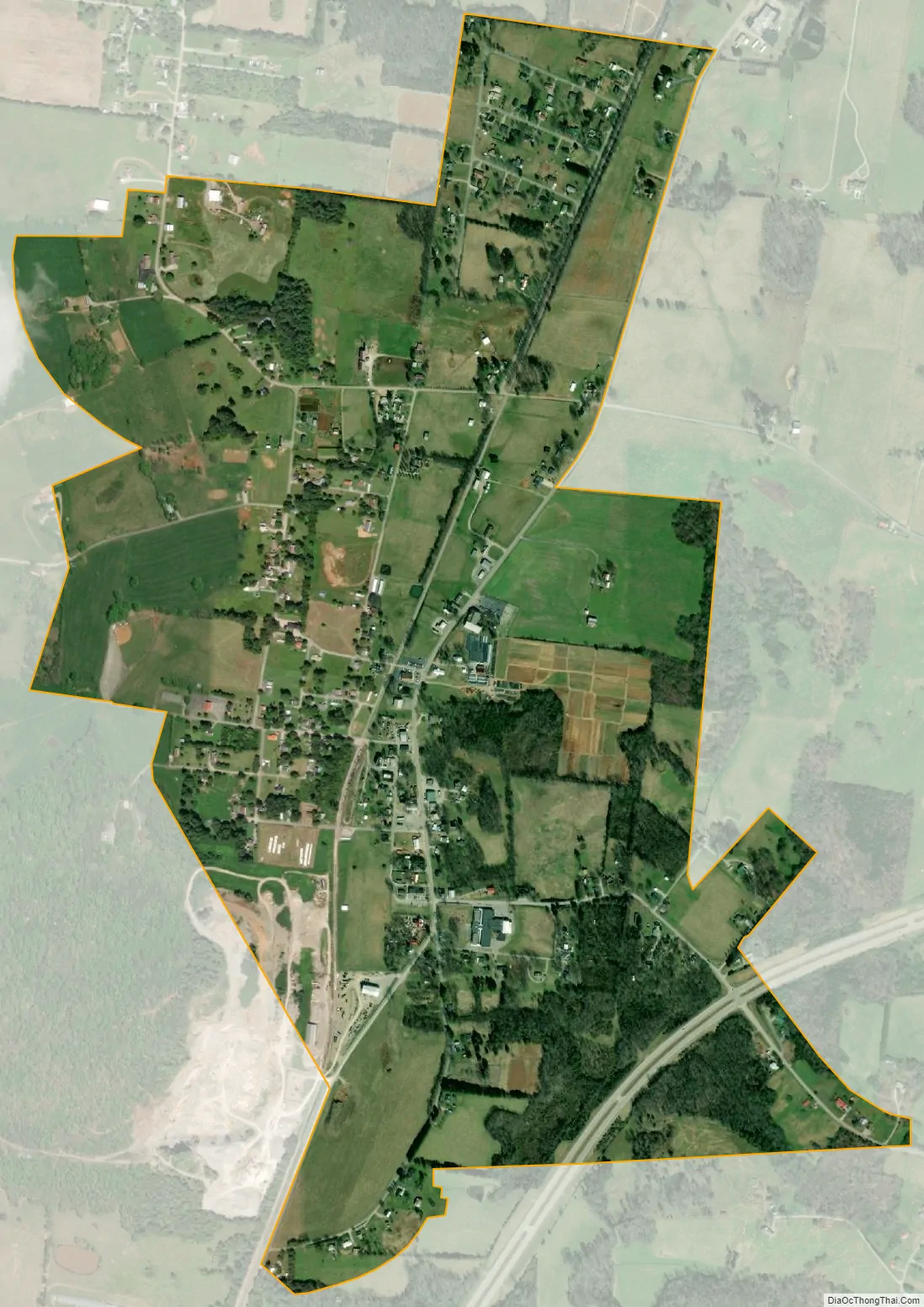
Doyle city Satellite Map
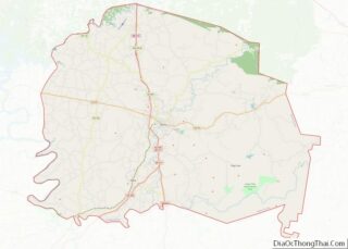
Geography
Doyle is located at 35°51′13″N 85°30′47″W / 35.85361°N 85.51306°W / 35.85361; -85.51306 (35.853664, -85.512981). The town is situated along the Highland Rim at the eastern base of a ridge known as Gum Spring Mountain. The Calfkiller River empties into the Caney Fork just southeast of Doyle.
U.S. Route 70S, which connects Doyle with Sparta to the northeast and McMinnville to the southwest, and State Route 285, which connects Doyle with the Spencer and Fall Creek Falls areas to the southeast, intersect just inside Doyle’s southeastern city limits. State Route 111 passes just east of Doyle.
According to the United States Census Bureau, the town has a total area of 1.3 square miles (3.4 km), all of it land.
See also
Map of Tennessee State and its subdivision:- Anderson
- Bedford
- Benton
- Bledsoe
- Blount
- Bradley
- Campbell
- Cannon
- Carroll
- Carter
- Cheatham
- Chester
- Claiborne
- Clay
- Cocke
- Coffee
- Crockett
- Cumberland
- Davidson
- Decatur
- DeKalb
- Dickson
- Dyer
- Fayette
- Fentress
- Franklin
- Gibson
- Giles
- Grainger
- Greene
- Grundy
- Hamblen
- Hamilton
- Hancock
- Hardeman
- Hardin
- Hawkins
- Haywood
- Henderson
- Henry
- Hickman
- Houston
- Humphreys
- Jackson
- Jefferson
- Johnson
- Knox
- Lake
- Lauderdale
- Lawrence
- Lewis
- Lincoln
- Loudon
- Macon
- Madison
- Marion
- Marshall
- Maury
- McMinn
- McNairy
- Meigs
- Monroe
- Montgomery
- Moore
- Morgan
- Obion
- Overton
- Perry
- Pickett
- Polk
- Putnam
- Rhea
- Roane
- Robertson
- Rutherford
- Scott
- Sequatchie
- Sevier
- Shelby
- Smith
- Stewart
- Sullivan
- Sumner
- Tipton
- Trousdale
- Unicoi
- Union
- Van Buren
- Warren
- Washington
- Wayne
- Weakley
- White
- Williamson
- Wilson
- Alabama
- Alaska
- Arizona
- Arkansas
- California
- Colorado
- Connecticut
- Delaware
- District of Columbia
- Florida
- Georgia
- Hawaii
- Idaho
- Illinois
- Indiana
- Iowa
- Kansas
- Kentucky
- Louisiana
- Maine
- Maryland
- Massachusetts
- Michigan
- Minnesota
- Mississippi
- Missouri
- Montana
- Nebraska
- Nevada
- New Hampshire
- New Jersey
- New Mexico
- New York
- North Carolina
- North Dakota
- Ohio
- Oklahoma
- Oregon
- Pennsylvania
- Rhode Island
- South Carolina
- South Dakota
- Tennessee
- Texas
- Utah
- Vermont
- Virginia
- Washington
- West Virginia
- Wisconsin
- Wyoming