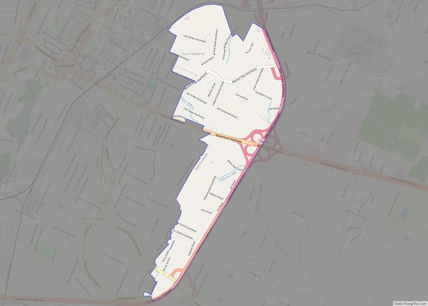
East Cleveland is a census-designated place (CDP) and community in Bradley County, Tennessee, United States. It is located directly east of the city limits of Cleveland, and is also considered one of the major divisions of the city. The population was 1,725 at the 2020 census. It is included in the Cleveland Metropolitan Statistical Area.
| Name: | East Cleveland CDP |
|---|---|
| LSAD Code: | 57 |
| LSAD Description: | CDP (suffix) |
| State: | Tennessee |
| County: | Bradley County |
| Elevation: | 965 ft (294 m) |
| Total Area: | 1.26 sq mi (3.26 km²) |
| Land Area: | 1.26 sq mi (3.26 km²) |
| Water Area: | 0.00 sq mi (0.00 km²) |
| Total Population: | 1,725 |
| Population Density: | 1,369.05/sq mi (528.39/km²) |
| FIPS code: | 4722500 |
| GNISfeature ID: | 1283324 |
Online Interactive Map
Click on ![]() to view map in "full screen" mode.
to view map in "full screen" mode.
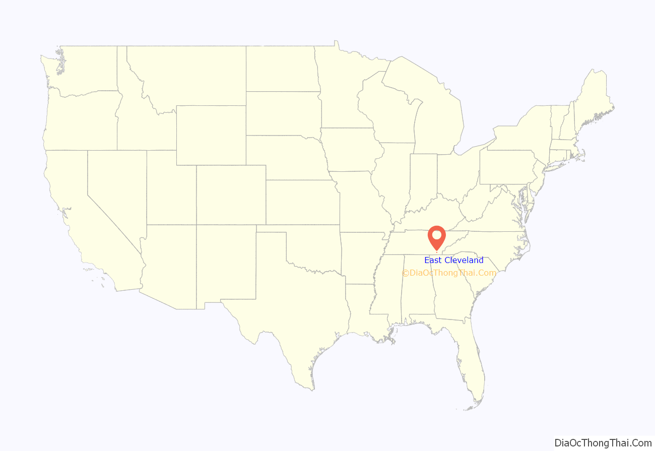
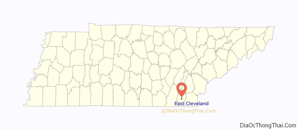
East Cleveland location map. Where is East Cleveland CDP?
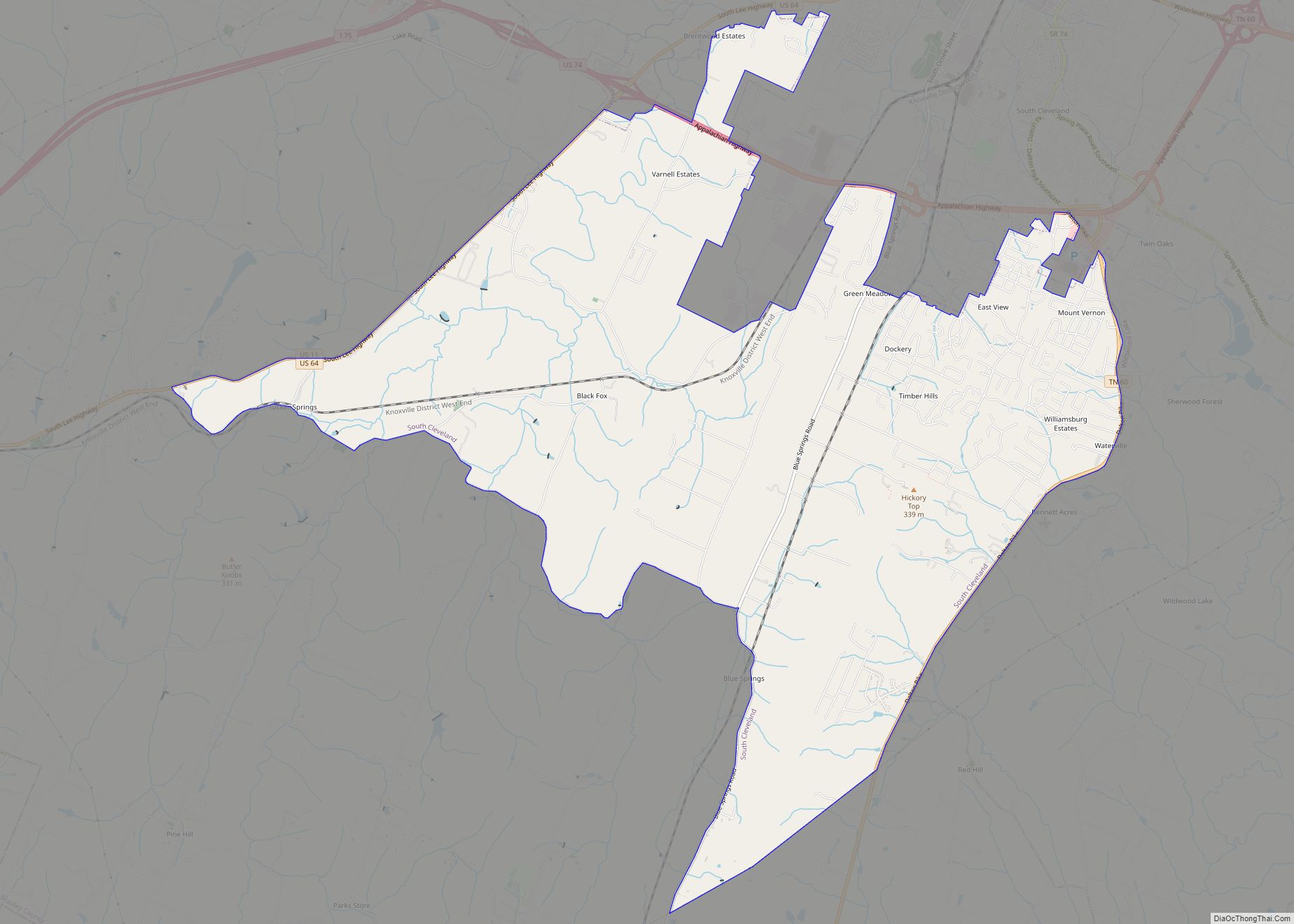
East Cleveland Road Map

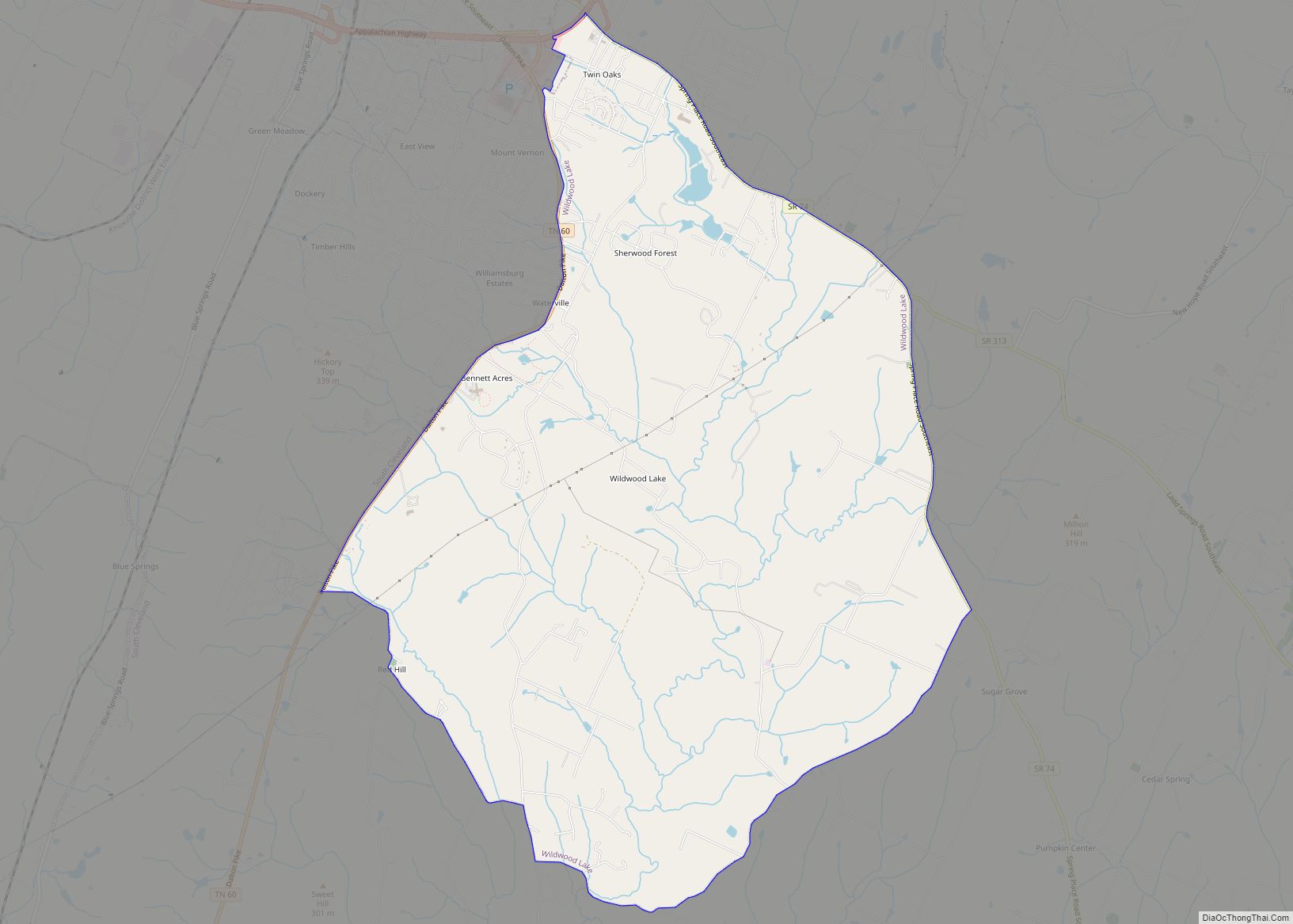
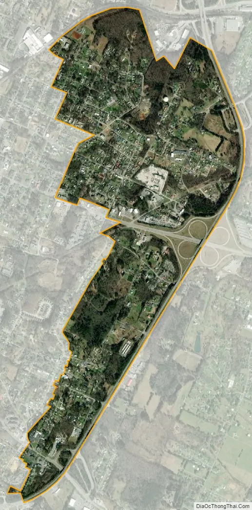
East Cleveland city Satellite Map
Geography
East Cleveland is located at 35°9′14″N 84°51′25″W / 35.15389°N 84.85694°W / 35.15389; -84.85694 (35.154009, -84.856866).
According to the United States Census Bureau, the CDP has a total area of 1.3 square miles (3.4 km), all land.
U.S. Route 64 and APD-40 (U.S. 64 Bypass and a portion of State Route 60) intersect in the community. State Route 74 begins in the southern portion. The CDP is traversed by a ridge known in the south as Blue Springs Ridge.
See also
Map of Tennessee State and its subdivision:- Anderson
- Bedford
- Benton
- Bledsoe
- Blount
- Bradley
- Campbell
- Cannon
- Carroll
- Carter
- Cheatham
- Chester
- Claiborne
- Clay
- Cocke
- Coffee
- Crockett
- Cumberland
- Davidson
- Decatur
- DeKalb
- Dickson
- Dyer
- Fayette
- Fentress
- Franklin
- Gibson
- Giles
- Grainger
- Greene
- Grundy
- Hamblen
- Hamilton
- Hancock
- Hardeman
- Hardin
- Hawkins
- Haywood
- Henderson
- Henry
- Hickman
- Houston
- Humphreys
- Jackson
- Jefferson
- Johnson
- Knox
- Lake
- Lauderdale
- Lawrence
- Lewis
- Lincoln
- Loudon
- Macon
- Madison
- Marion
- Marshall
- Maury
- McMinn
- McNairy
- Meigs
- Monroe
- Montgomery
- Moore
- Morgan
- Obion
- Overton
- Perry
- Pickett
- Polk
- Putnam
- Rhea
- Roane
- Robertson
- Rutherford
- Scott
- Sequatchie
- Sevier
- Shelby
- Smith
- Stewart
- Sullivan
- Sumner
- Tipton
- Trousdale
- Unicoi
- Union
- Van Buren
- Warren
- Washington
- Wayne
- Weakley
- White
- Williamson
- Wilson
- Alabama
- Alaska
- Arizona
- Arkansas
- California
- Colorado
- Connecticut
- Delaware
- District of Columbia
- Florida
- Georgia
- Hawaii
- Idaho
- Illinois
- Indiana
- Iowa
- Kansas
- Kentucky
- Louisiana
- Maine
- Maryland
- Massachusetts
- Michigan
- Minnesota
- Mississippi
- Missouri
- Montana
- Nebraska
- Nevada
- New Hampshire
- New Jersey
- New Mexico
- New York
- North Carolina
- North Dakota
- Ohio
- Oklahoma
- Oregon
- Pennsylvania
- Rhode Island
- South Carolina
- South Dakota
- Tennessee
- Texas
- Utah
- Vermont
- Virginia
- Washington
- West Virginia
- Wisconsin
- Wyoming