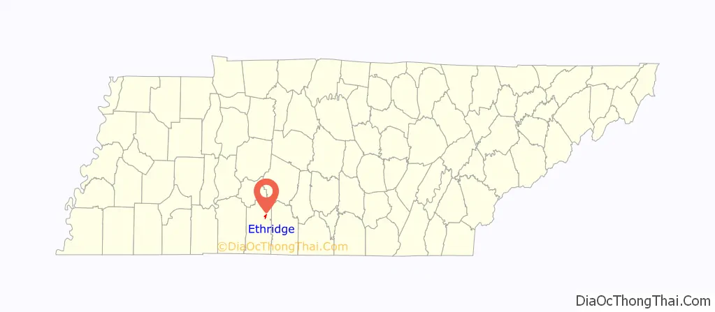
Ethridge is a town in Lawrence County, Tennessee, United States. The population was 465 at the 2010 census, down from 536 at the 2000 census.
| Name: | Ethridge town |
|---|---|
| LSAD Code: | 43 |
| LSAD Description: | town (suffix) |
| State: | Tennessee |
| County: | Lawrence County |
| Elevation: | 981 ft (299 m) |
| Total Area: | 1.15 sq mi (2.99 km²) |
| Land Area: | 1.15 sq mi (2.99 km²) |
| Water Area: | 0.00 sq mi (0.00 km²) |
| Total Population: | 537 |
| Population Density: | 465.74/sq mi (179.84/km²) |
| ZIP code: | 38456 |
| Area code: | 931 |
| FIPS code: | 4724460 |
| GNISfeature ID: | 1283870 |
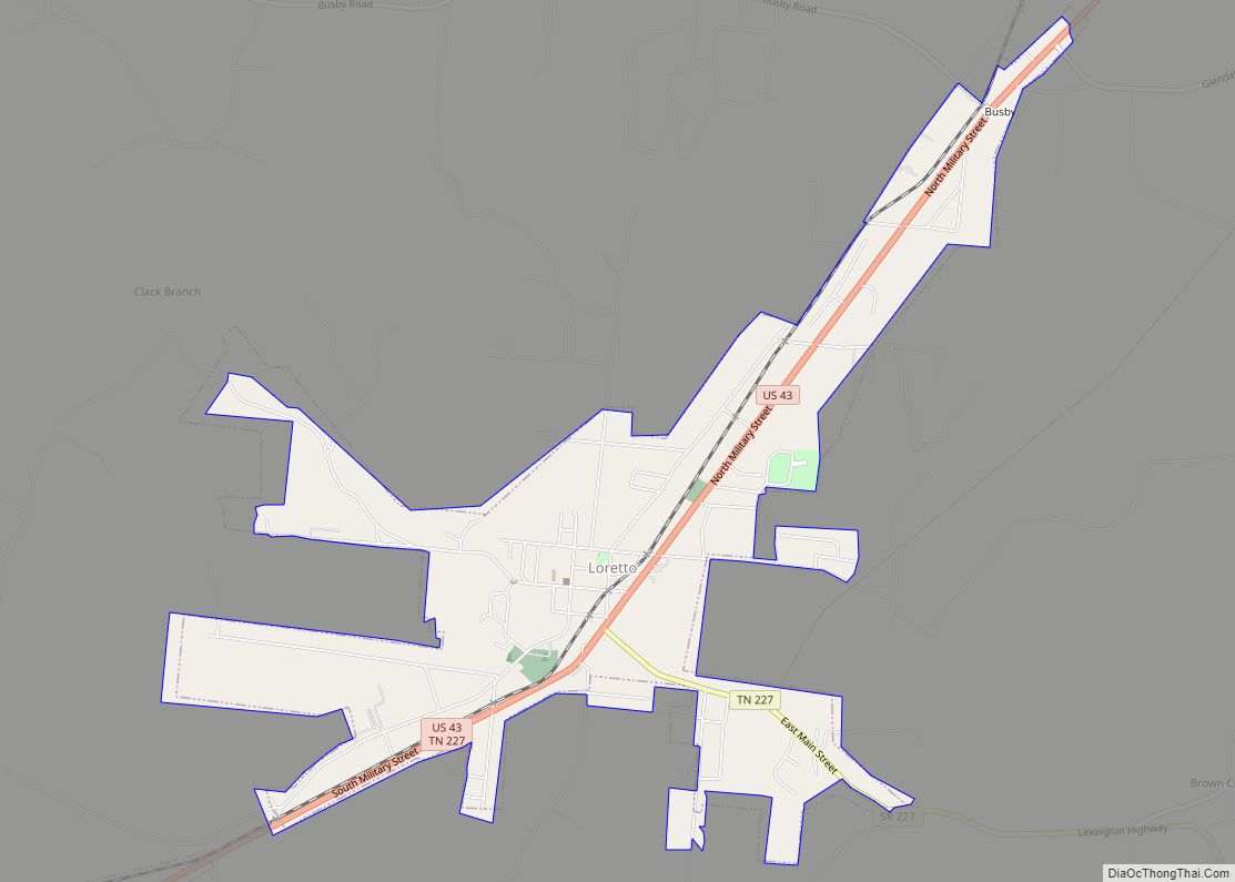
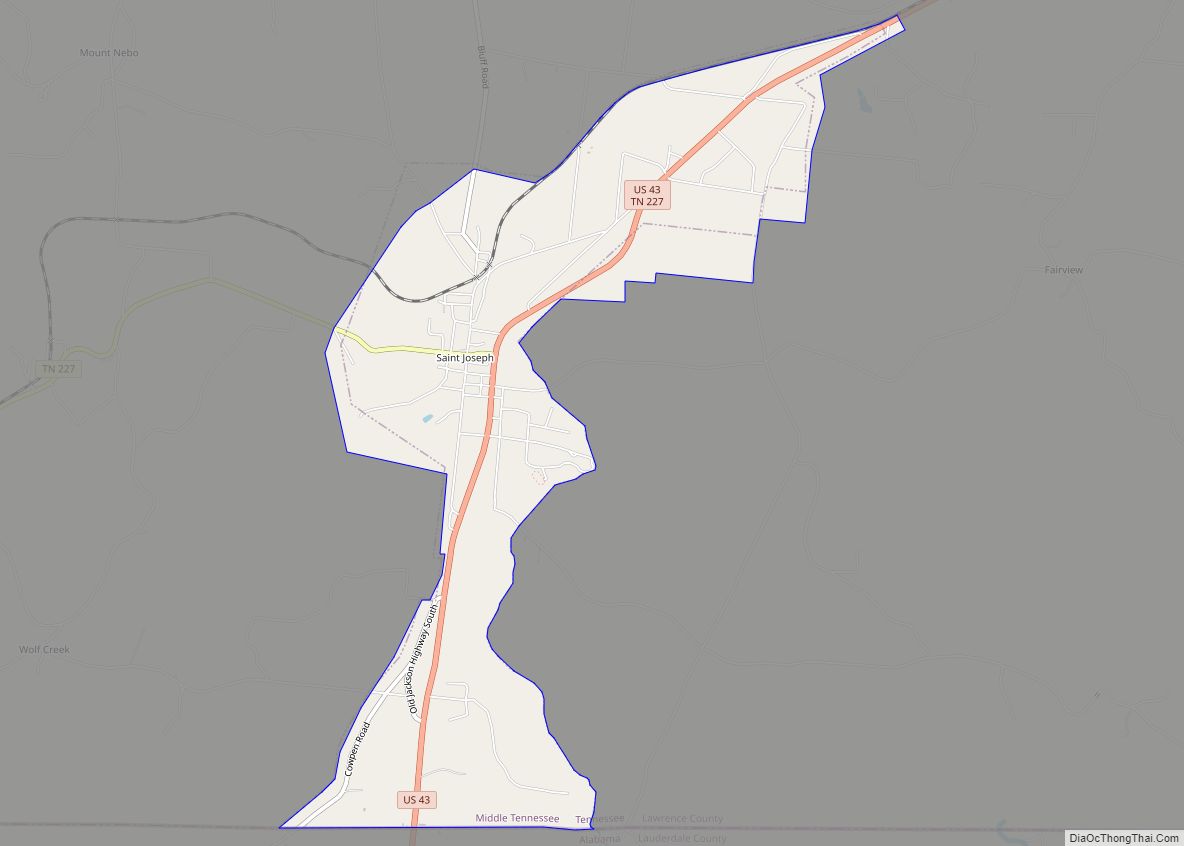
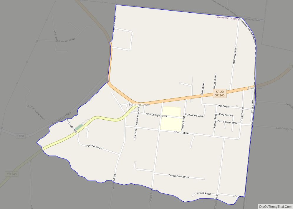
Online Interactive Map
Click on ![]() to view map in "full screen" mode.
to view map in "full screen" mode.
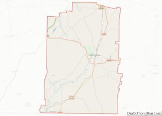
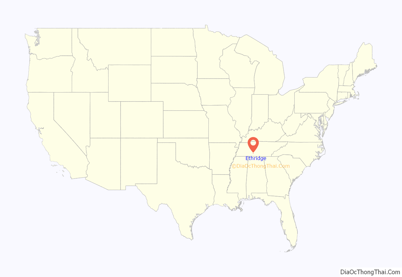
Ethridge location map. Where is Ethridge town?
History
Ethridge began as a railroad stop known as Hudson Springs, which stood a few miles south of the present site of the town, in the 1880s. A political booster and store owner at the stop successfully petitioned the railroad to name the stop in honor of Emerson Etheridge, a prominent mid-19th century politician and post-Civil War candidate for governor. The current site of Ethridge, meanwhile, was located at the intersection of two mid-19th century cattle drovers’ roads. When the railroad constructed a station at this site in the late 1890s, it was named Wayne Station. After constant confusion resulted in passengers bound for Wayne Station winding up at Ethridge, a prominent real estate broker in the area convinced the railroad to close the Ethridge stop and rename the Wayne Station stop “Ethridge.”
By 1914, Ethridge’s population had grown to 400, and the town was thriving as a lumber transloading station. At that time, Ethridge contained at least four lumber mills and one lumber finishing mill. Lumber from these mills and mills further out in the countryside was hauled to Ethridge and loaded onto trains. During this period, Ethridge had five grocery stores, a meat market, two barber shops, a post office, a hotel, and a tire pump factory. The town declined, however, following the Wall Street Crash of 1929 and the gradual supplanting of rail traffic by vehicle traffic in later years. Ethridge was incorporated in 1973,and is known for its concentration of Swartzentruber Amish.
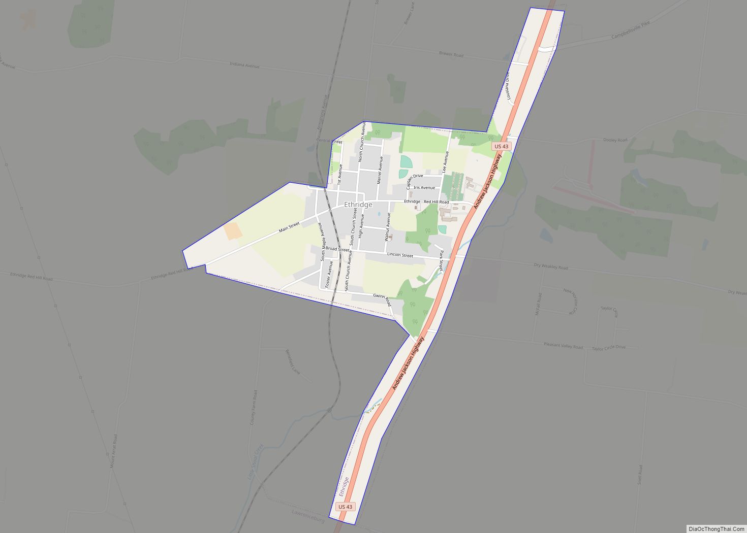
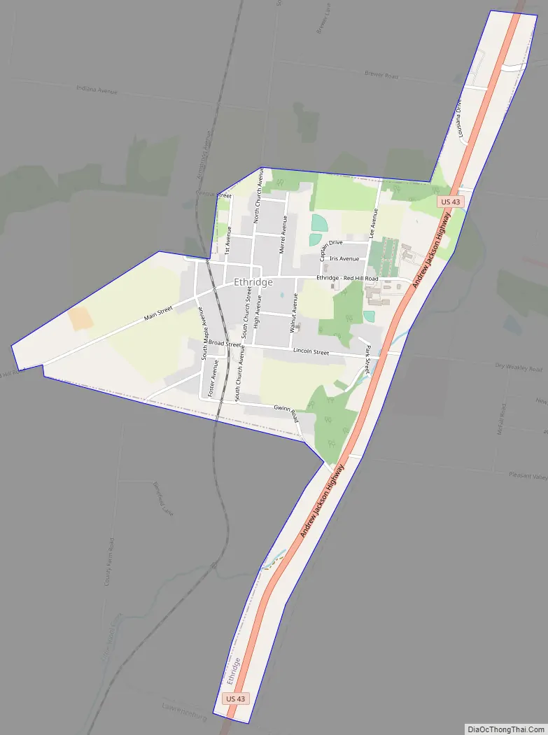
Ethridge Road Map
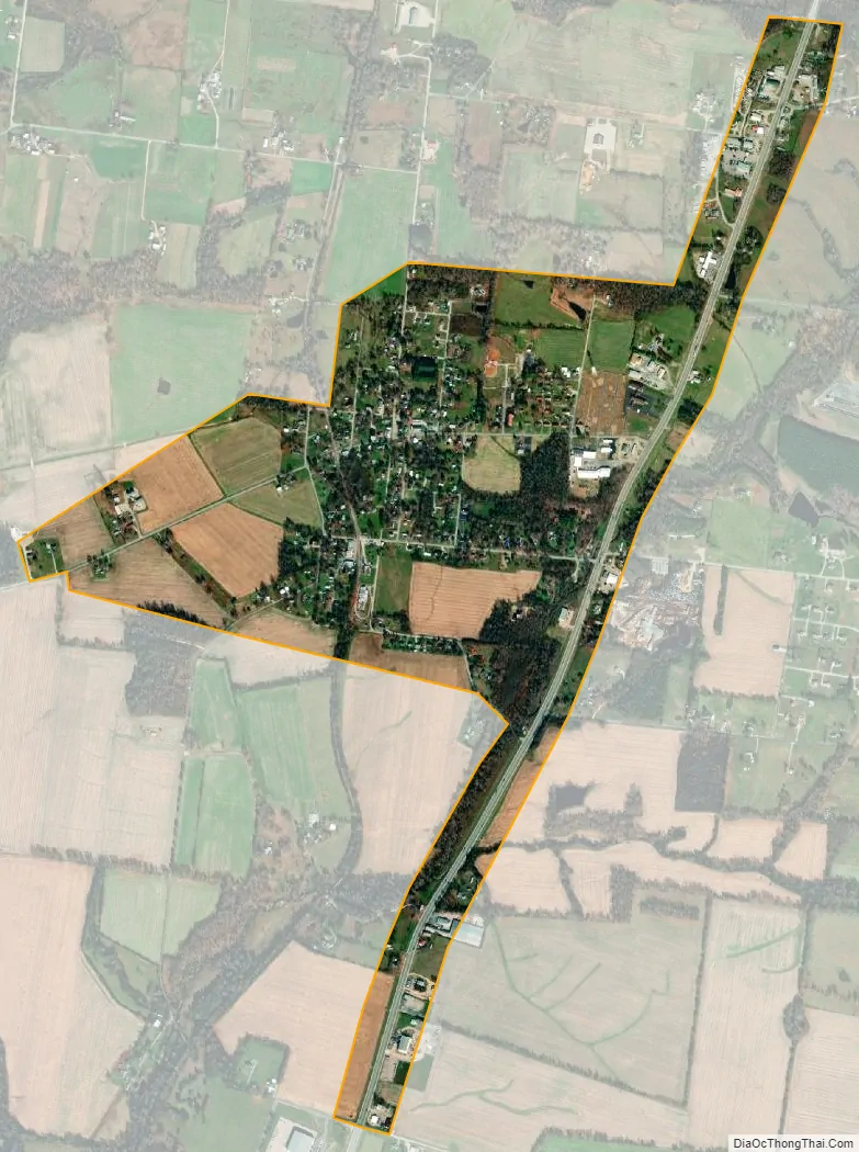
Ethridge city Satellite Map
Geography
Ethridge is located at 35°19′16″N 87°18′8″W / 35.32111°N 87.30222°W / 35.32111; -87.30222 (35.321229, -87.302304). The town is situated at the intersection of U.S. Route 43 and a county road, Red Hill Road (signed as Main Street in Ethridge). Lawrenceburg lies a few miles to the south along US 43, and Mount Pleasant lies several miles to the north. The source of Little Shoal Creek, one of the headwater streams of Shoal Creek, is located just east of Ethridge. The source of the Buffalo River is located just west of Ethridge.
According to the United States Census Bureau, the town has a total area of 1.2 square miles (3.1 km), all land.
See also
Map of Tennessee State and its subdivision:- Anderson
- Bedford
- Benton
- Bledsoe
- Blount
- Bradley
- Campbell
- Cannon
- Carroll
- Carter
- Cheatham
- Chester
- Claiborne
- Clay
- Cocke
- Coffee
- Crockett
- Cumberland
- Davidson
- Decatur
- DeKalb
- Dickson
- Dyer
- Fayette
- Fentress
- Franklin
- Gibson
- Giles
- Grainger
- Greene
- Grundy
- Hamblen
- Hamilton
- Hancock
- Hardeman
- Hardin
- Hawkins
- Haywood
- Henderson
- Henry
- Hickman
- Houston
- Humphreys
- Jackson
- Jefferson
- Johnson
- Knox
- Lake
- Lauderdale
- Lawrence
- Lewis
- Lincoln
- Loudon
- Macon
- Madison
- Marion
- Marshall
- Maury
- McMinn
- McNairy
- Meigs
- Monroe
- Montgomery
- Moore
- Morgan
- Obion
- Overton
- Perry
- Pickett
- Polk
- Putnam
- Rhea
- Roane
- Robertson
- Rutherford
- Scott
- Sequatchie
- Sevier
- Shelby
- Smith
- Stewart
- Sullivan
- Sumner
- Tipton
- Trousdale
- Unicoi
- Union
- Van Buren
- Warren
- Washington
- Wayne
- Weakley
- White
- Williamson
- Wilson
- Alabama
- Alaska
- Arizona
- Arkansas
- California
- Colorado
- Connecticut
- Delaware
- District of Columbia
- Florida
- Georgia
- Hawaii
- Idaho
- Illinois
- Indiana
- Iowa
- Kansas
- Kentucky
- Louisiana
- Maine
- Maryland
- Massachusetts
- Michigan
- Minnesota
- Mississippi
- Missouri
- Montana
- Nebraska
- Nevada
- New Hampshire
- New Jersey
- New Mexico
- New York
- North Carolina
- North Dakota
- Ohio
- Oklahoma
- Oregon
- Pennsylvania
- Rhode Island
- South Carolina
- South Dakota
- Tennessee
- Texas
- Utah
- Vermont
- Virginia
- Washington
- West Virginia
- Wisconsin
- Wyoming