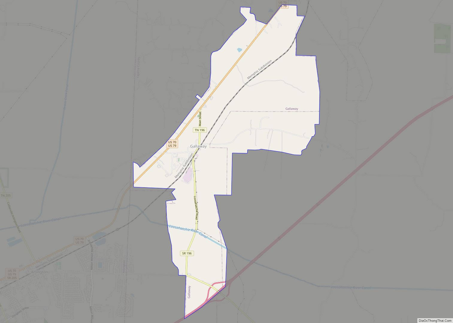
Gallaway is a city in Fayette County, Tennessee, United States. The population was 680 at the 2010 census.
| Name: | Gallaway city |
|---|---|
| LSAD Code: | 25 |
| LSAD Description: | city (suffix) |
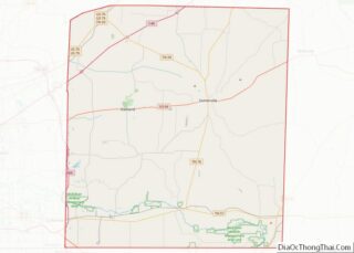
| State: | Tennessee |
| County: | Fayette County |
| Elevation: | 282 ft (86 m) |
| Total Area: | 5.30 sq mi (13.72 km²) |
| Land Area: | 5.30 sq mi (13.72 km²) |
| Water Area: | 0.00 sq mi (0.00 km²) |
| Total Population: | 528 |
| Population Density: | 99.68/sq mi (38.49/km²) |
| ZIP code: | 38036 |
| Area code: | 901 |
| FIPS code: | 4728560 |
| GNISfeature ID: | 1285101 |
| Website: | www.gallawaytn.gov |
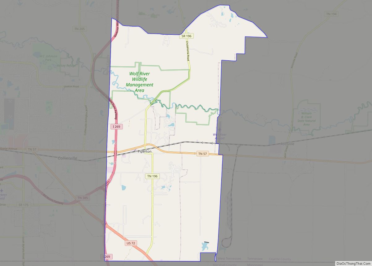
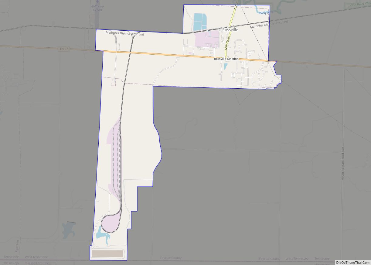
Online Interactive Map
Click on ![]() to view map in "full screen" mode.
to view map in "full screen" mode.
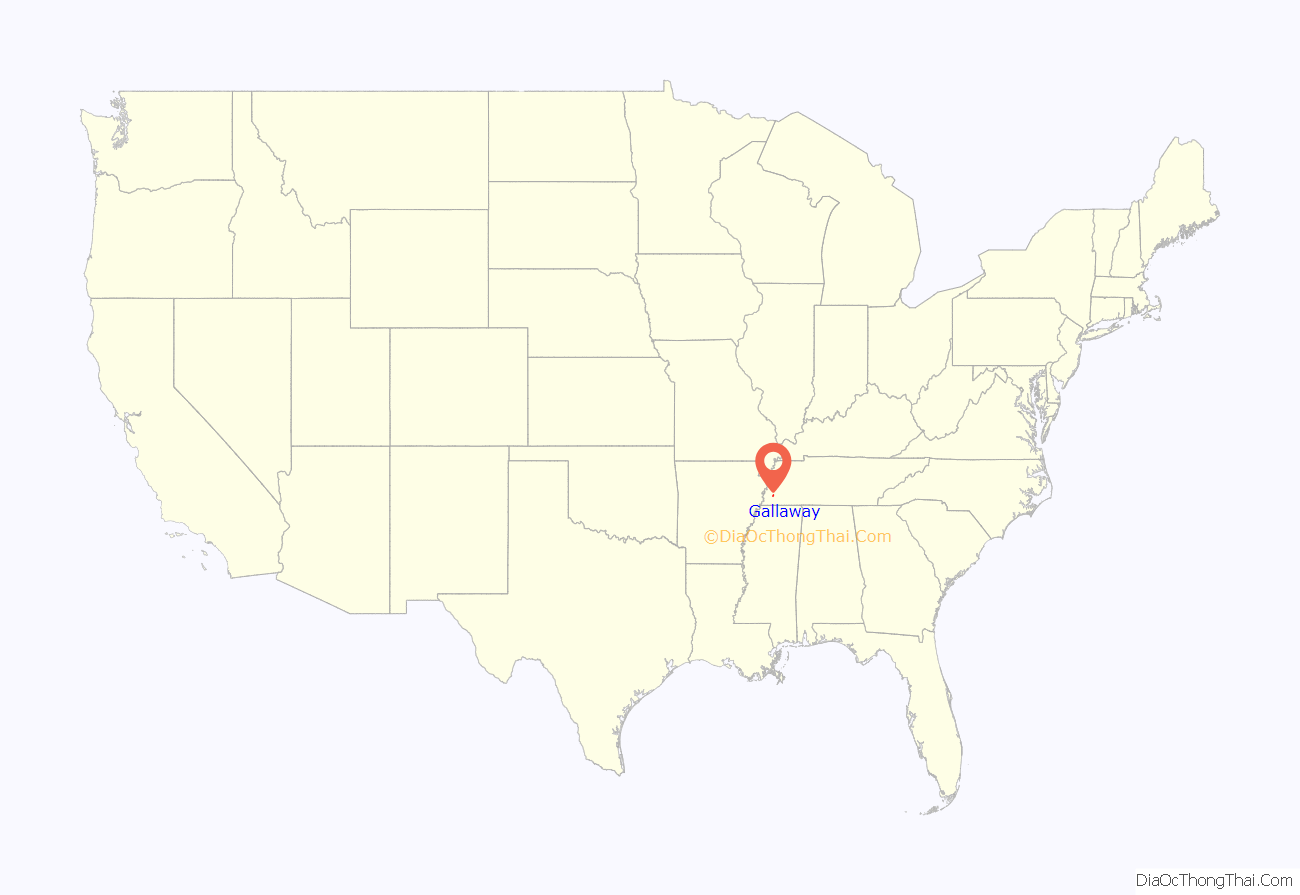
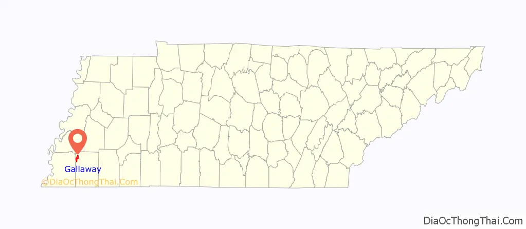
Gallaway location map. Where is Gallaway city?
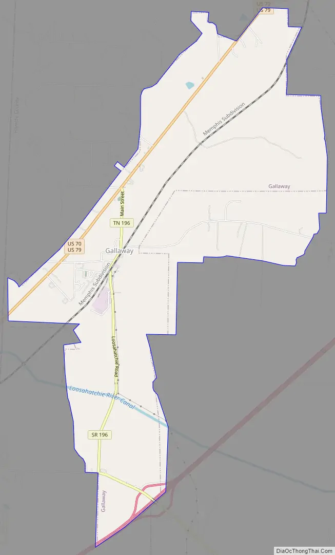
Gallaway Road Map
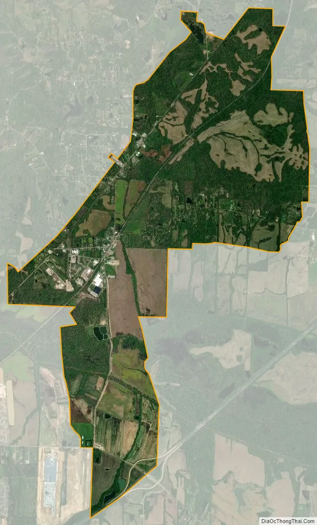
Gallaway city Satellite Map
Geography
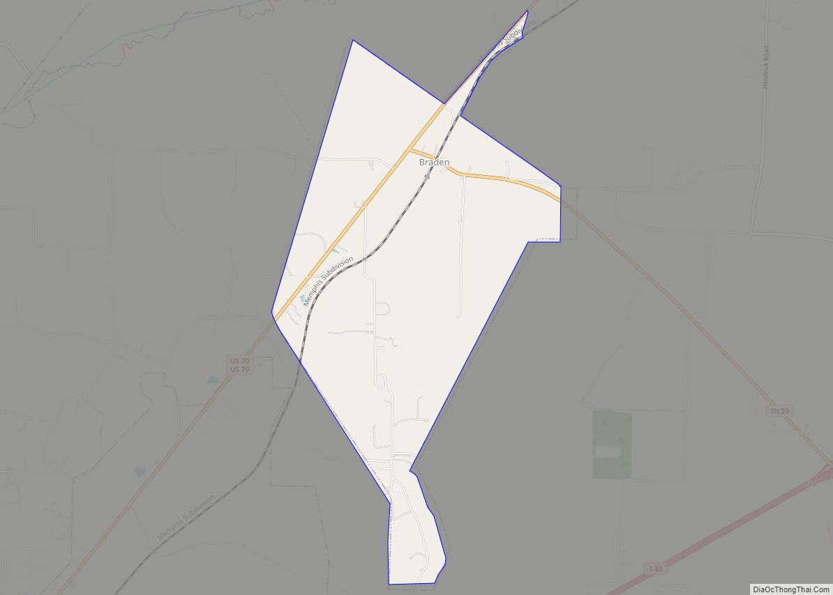
Gallaway is located in northwestern Fayette County at 35°19′36″N 89°36′59″W / 35.32667°N 89.61639°W / 35.32667; -89.61639 (35.326725, -89.616484). U.S. Routes 70 and 79 pass through the northwest side of the city as a single two-lane highway, leading northeast 5 miles (8 km) to Braden and southwest 4 miles (6 km) to Arlington. Downtown Memphis is 30 miles (48 km) to the southwest. Tennessee State Route 196 leads south 6.5 miles (10.5 km) to Hickory Withe.
According to the United States Census Bureau, the city of Gallaway has a total area of 6.1 square miles (15.9 km), all land. The Loosahatchie River, a tributary of the Mississippi, flows from east to west through the southern part of the city limits.
See also
Map of Tennessee State and its subdivision:- Anderson
- Bedford
- Benton
- Bledsoe
- Blount
- Bradley
- Campbell
- Cannon
- Carroll
- Carter
- Cheatham
- Chester
- Claiborne
- Clay
- Cocke
- Coffee
- Crockett
- Cumberland
- Davidson
- Decatur
- DeKalb
- Dickson
- Dyer
- Fayette
- Fentress
- Franklin
- Gibson
- Giles
- Grainger
- Greene
- Grundy
- Hamblen
- Hamilton
- Hancock
- Hardeman
- Hardin
- Hawkins
- Haywood
- Henderson
- Henry
- Hickman
- Houston
- Humphreys
- Jackson
- Jefferson
- Johnson
- Knox
- Lake
- Lauderdale
- Lawrence
- Lewis
- Lincoln
- Loudon
- Macon
- Madison
- Marion
- Marshall
- Maury
- McMinn
- McNairy
- Meigs
- Monroe
- Montgomery
- Moore
- Morgan
- Obion
- Overton
- Perry
- Pickett
- Polk
- Putnam
- Rhea
- Roane
- Robertson
- Rutherford
- Scott
- Sequatchie
- Sevier
- Shelby
- Smith
- Stewart
- Sullivan
- Sumner
- Tipton
- Trousdale
- Unicoi
- Union
- Van Buren
- Warren
- Washington
- Wayne
- Weakley
- White
- Williamson
- Wilson
- Alabama
- Alaska
- Arizona
- Arkansas
- California
- Colorado
- Connecticut
- Delaware
- District of Columbia
- Florida
- Georgia
- Hawaii
- Idaho
- Illinois
- Indiana
- Iowa
- Kansas
- Kentucky
- Louisiana
- Maine
- Maryland
- Massachusetts
- Michigan
- Minnesota
- Mississippi
- Missouri
- Montana
- Nebraska
- Nevada
- New Hampshire
- New Jersey
- New Mexico
- New York
- North Carolina
- North Dakota
- Ohio
- Oklahoma
- Oregon
- Pennsylvania
- Rhode Island
- South Carolina
- South Dakota
- Tennessee
- Texas
- Utah
- Vermont
- Virginia
- Washington
- West Virginia
- Wisconsin
- Wyoming