Helenwood is an unincorporated community in Scott County, Tennessee, United States. The population was 846 at the 2000 census, when Helenwood was treated as an incorporated municipality. For the 2010 census, it was a census-designated place (CDP) with a population of 865.
| Name: | Helenwood CDP |
|---|---|
| LSAD Code: | 57 |
| LSAD Description: | CDP (suffix) |
| State: | Tennessee |
| County: | Scott County |
| Elevation: | 1,388 ft (423 m) |
| Total Area: | 2.01 sq mi (5.20 km²) |
| Land Area: | 2.01 sq mi (5.20 km²) |
| Water Area: | 0.00 sq mi (0.00 km²) |
| Total Population: | 635 |
| Population Density: | 316.08/sq mi (122.05/km²) |
| ZIP code: | 37755 |
| Area code: | 423 |
| FIPS code: | 4733120 |
| GNISfeature ID: | 1287335 |
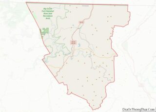
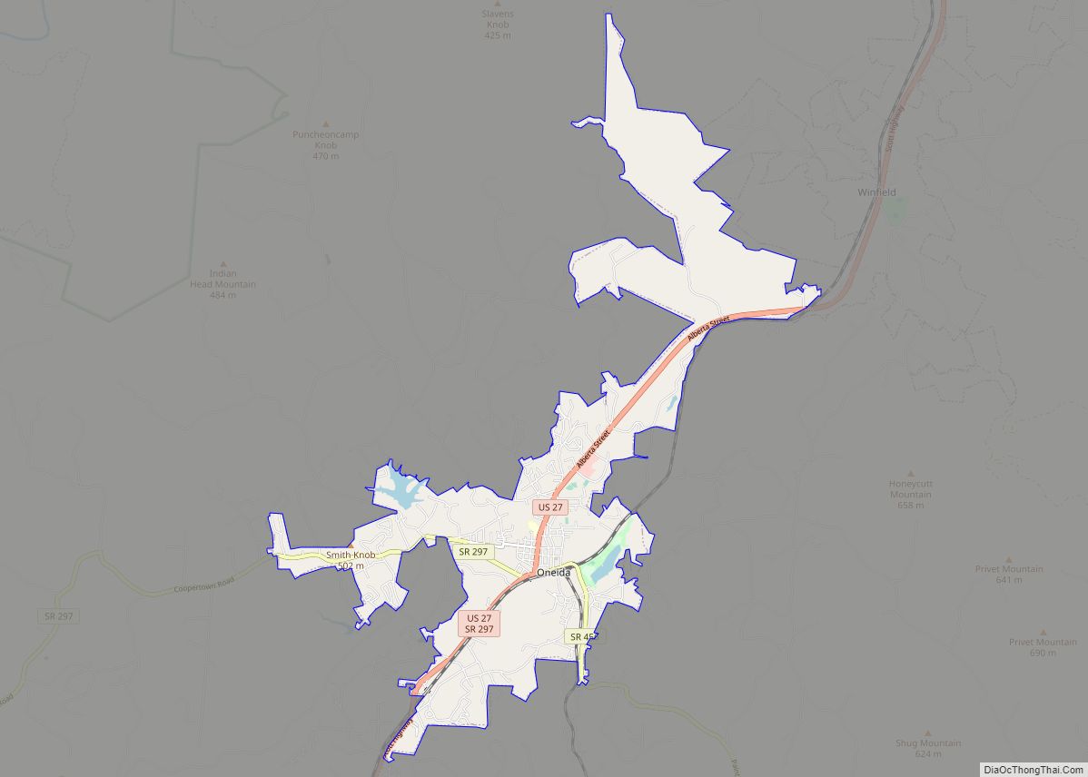
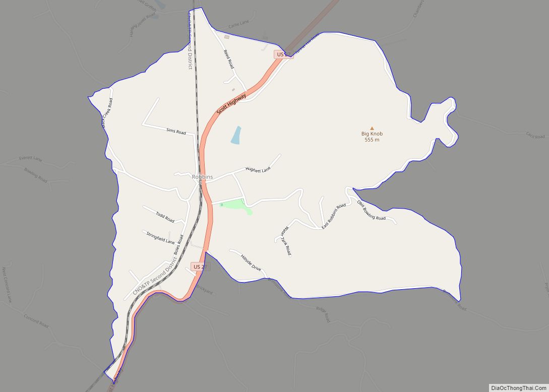
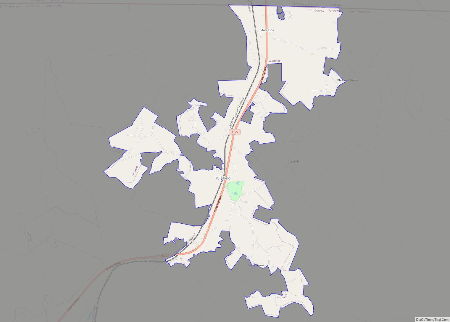
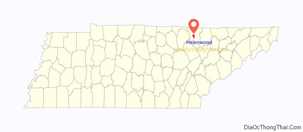
Online Interactive Map
Click on ![]() to view map in "full screen" mode.
to view map in "full screen" mode.
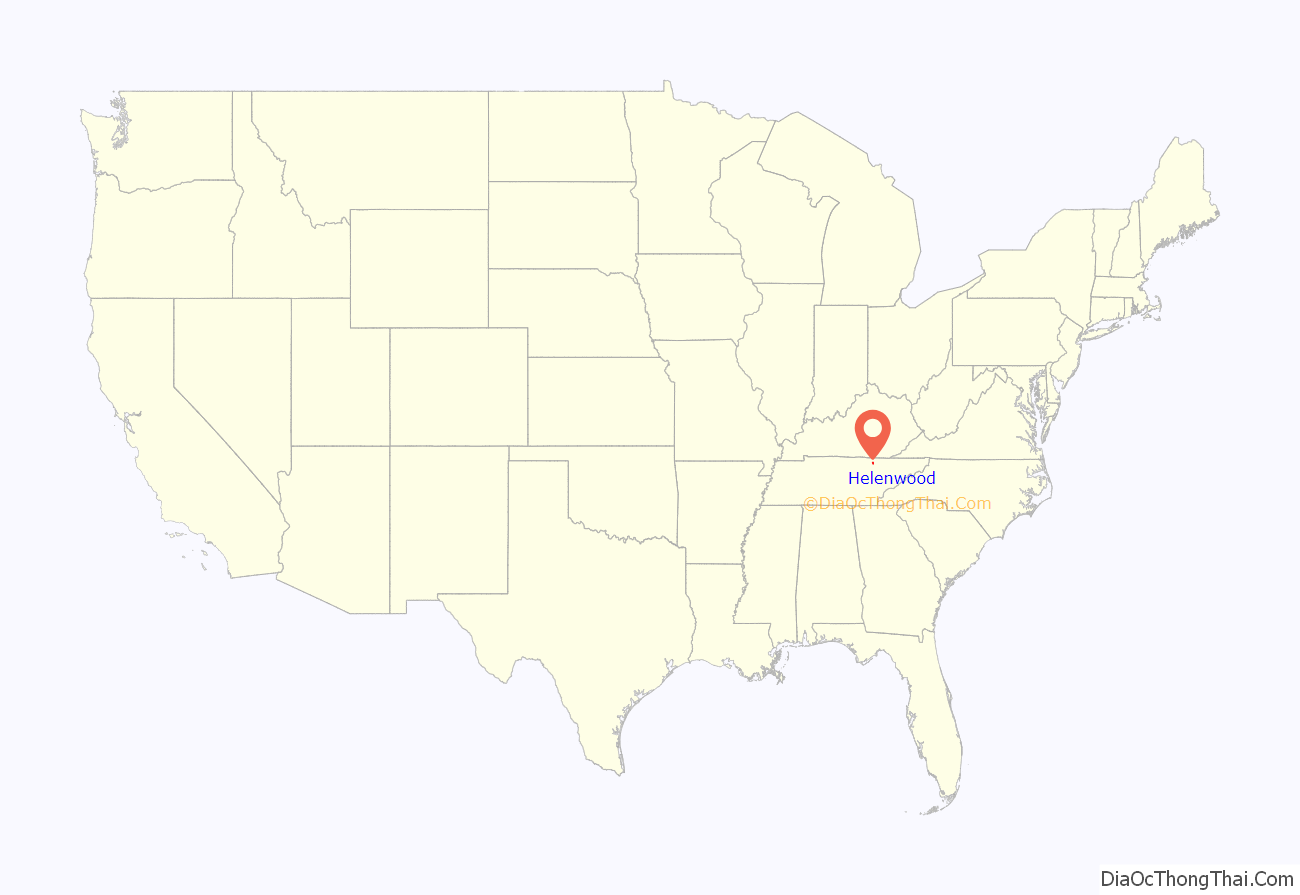
Helenwood location map. Where is Helenwood CDP?
History
Helenwood was platted in 1859 under the name “Homestead.” It was settled as a coal-mining community. The origin of its current name is not known.
On April 5, 1935 a dynamite explosion caused extensive damage in Helenwood, destroying fifteen homes and damaging many other homes and businesses. One news account said that Helenwood was “literally wiped off the map.” There were no fatalities.
Helenwood was incorporated as a town by referendum in 1997, after the state statute that set minimum criteria for municipal incorporation was amended by the Tennessee General Assembly to remove the requirement that a newly incorporating area must not be within three miles of an existing city and to reduce the minimum population for incorporation from 1,500 residents to 225. The legislation that changed the statute had been introduced by Lieutenant Governor John S. Wilder in order to allow Hickory Withe to become a municipality. Helenwood’s incorporation was rescinded by state courts after the amendments were declared unconstitutional.
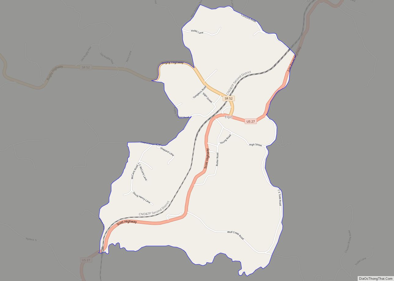
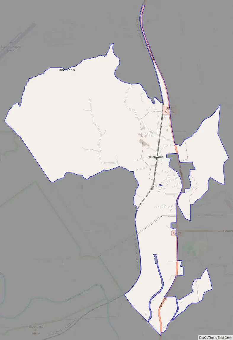
Helenwood Road Map
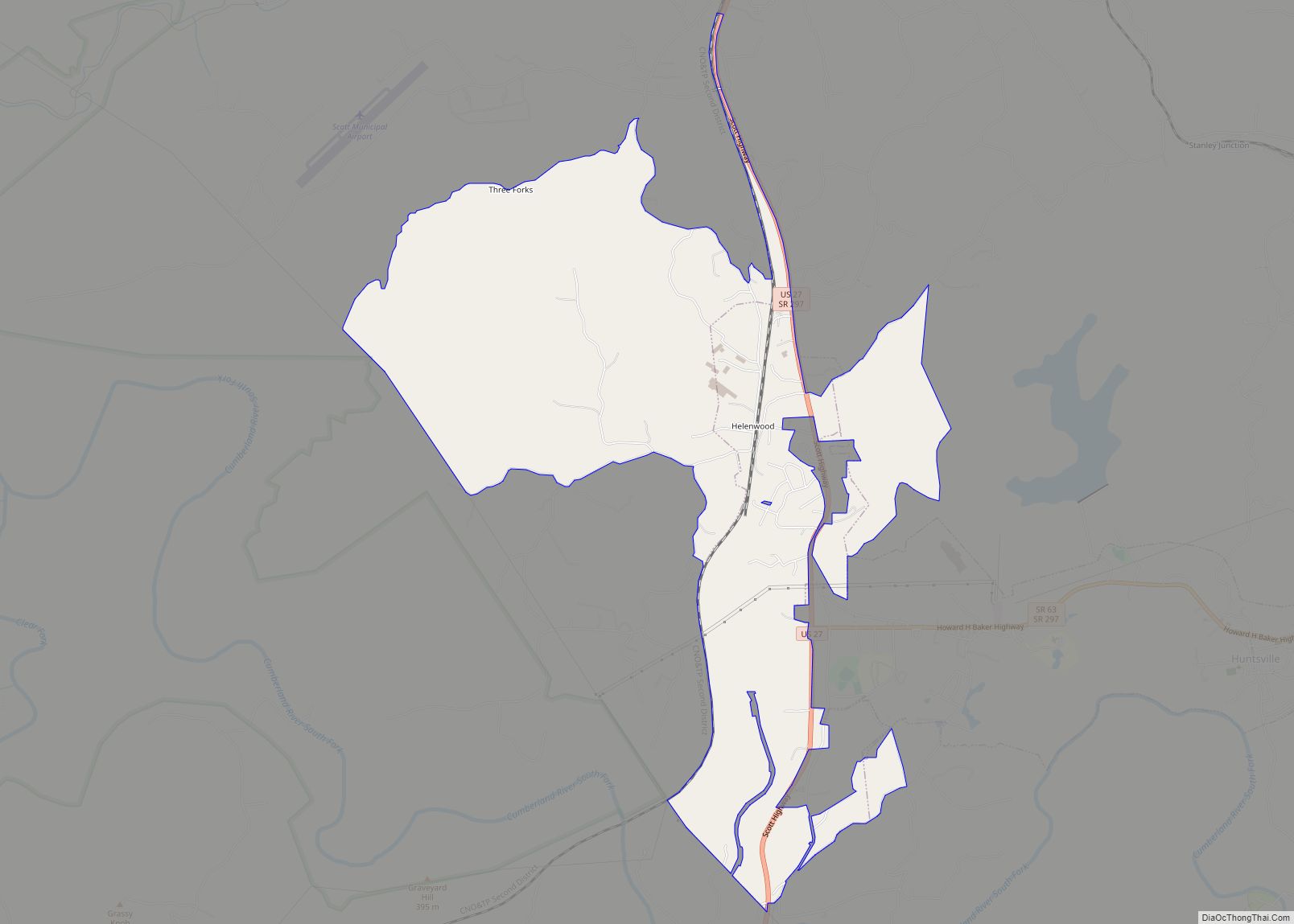
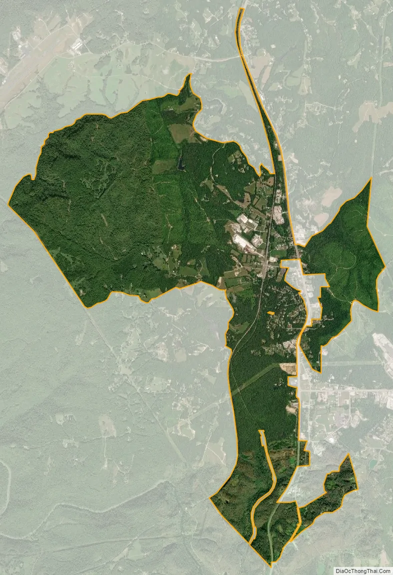
Helenwood city Satellite Map
Geography
Helenwood is located at 36°25′24″N 84°32′29″W / 36.42333°N 84.54139°W / 36.42333; -84.54139 (36.423357, -84.541511). It is situated along U.S. Route 27 north of Huntsville, in Tennessee’s Cumberland Plateau region.
According to the United States Census Bureau, the town has a total area of 2.8 square miles (7.3 km), all land.
See also
Map of Tennessee State and its subdivision:- Anderson
- Bedford
- Benton
- Bledsoe
- Blount
- Bradley
- Campbell
- Cannon
- Carroll
- Carter
- Cheatham
- Chester
- Claiborne
- Clay
- Cocke
- Coffee
- Crockett
- Cumberland
- Davidson
- Decatur
- DeKalb
- Dickson
- Dyer
- Fayette
- Fentress
- Franklin
- Gibson
- Giles
- Grainger
- Greene
- Grundy
- Hamblen
- Hamilton
- Hancock
- Hardeman
- Hardin
- Hawkins
- Haywood
- Henderson
- Henry
- Hickman
- Houston
- Humphreys
- Jackson
- Jefferson
- Johnson
- Knox
- Lake
- Lauderdale
- Lawrence
- Lewis
- Lincoln
- Loudon
- Macon
- Madison
- Marion
- Marshall
- Maury
- McMinn
- McNairy
- Meigs
- Monroe
- Montgomery
- Moore
- Morgan
- Obion
- Overton
- Perry
- Pickett
- Polk
- Putnam
- Rhea
- Roane
- Robertson
- Rutherford
- Scott
- Sequatchie
- Sevier
- Shelby
- Smith
- Stewart
- Sullivan
- Sumner
- Tipton
- Trousdale
- Unicoi
- Union
- Van Buren
- Warren
- Washington
- Wayne
- Weakley
- White
- Williamson
- Wilson
- Alabama
- Alaska
- Arizona
- Arkansas
- California
- Colorado
- Connecticut
- Delaware
- District of Columbia
- Florida
- Georgia
- Hawaii
- Idaho
- Illinois
- Indiana
- Iowa
- Kansas
- Kentucky
- Louisiana
- Maine
- Maryland
- Massachusetts
- Michigan
- Minnesota
- Mississippi
- Missouri
- Montana
- Nebraska
- Nevada
- New Hampshire
- New Jersey
- New Mexico
- New York
- North Carolina
- North Dakota
- Ohio
- Oklahoma
- Oregon
- Pennsylvania
- Rhode Island
- South Carolina
- South Dakota
- Tennessee
- Texas
- Utah
- Vermont
- Virginia
- Washington
- West Virginia
- Wisconsin
- Wyoming