Huntsville is a town in Scott County, Tennessee, United States. The population was 1,270 at the 2020 census and 1,248 at the 2010 census. It is the county seat of Scott County.
| Name: | Huntsville town |
|---|---|
| LSAD Code: | 43 |
| LSAD Description: | town (suffix) |
| State: | Tennessee |
| County: | Scott County |
| Founded: | 1850 |
| Incorporated: | 1965 |
| Elevation: | 1,319 ft (402 m) |
| Total Area: | 8.30 sq mi (21.49 km²) |
| Land Area: | 8.30 sq mi (21.49 km²) |
| Water Area: | 0.00 sq mi (0.00 km²) |
| Total Population: | 1,270 |
| Population Density: | 153.03/sq mi (59.09/km²) |
| ZIP code: | 37756 |
| Area code: | 423 |
| FIPS code: | 4736640 |
| GNISfeature ID: | 1288766 |
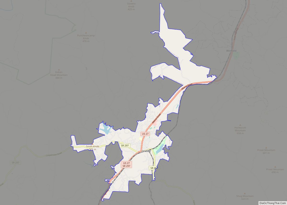
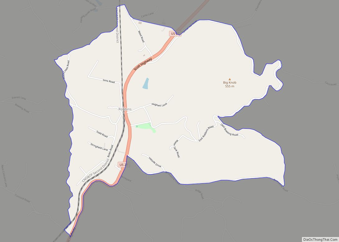
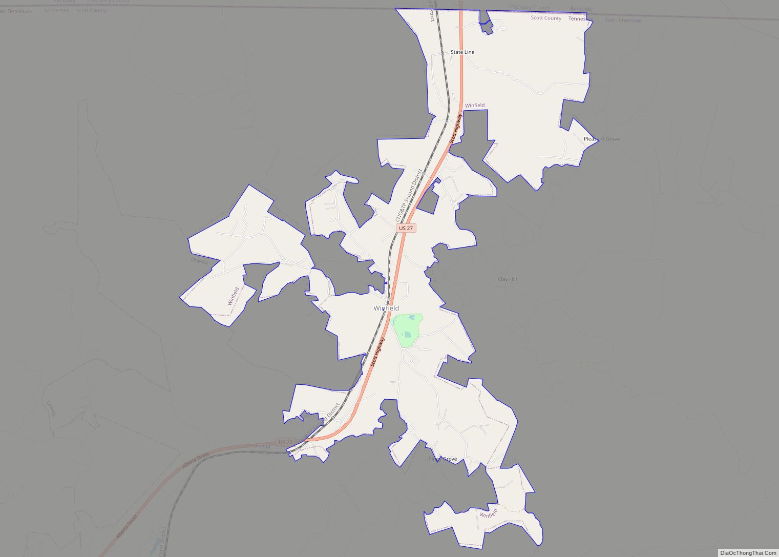
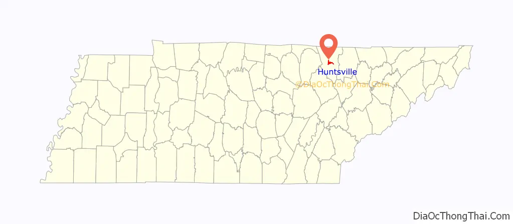
Online Interactive Map
Click on ![]() to view map in "full screen" mode.
to view map in "full screen" mode.
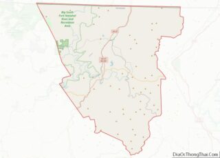
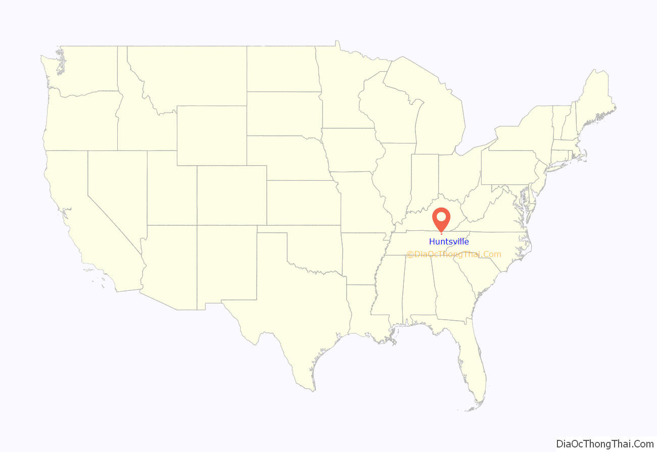
Huntsville location map. Where is Huntsville town?
History
Huntsville was named after a long hunter known only by the surname “Hunt.” This long hunter camped under a rock shelter in the mid-18th century and later moved his family to the area. When Scott County was formed in 1849, Huntsville was chosen as the county seat due to the site’s central location within the new county as well as an excellent spring that flowed across the property.
During the U.S. Civil War, Scott County was staunchly pro-Union. In Tennessee’s June 1861 referendum on secession, the county voted 541-19 against secession, the highest percentage of any county in Tennessee. In spite of fierce opposition from Scott and other East Tennessee counties, the ordinance passed and Tennessee seceded from the Union. Later that year, Scott County voted unanimously to secede from Tennessee and formed the Independent State of Scott.
In 1906, a new courthouse square was built in Huntsville using a beige-colored native sandstone for the buildings’ outer walls. Although the courthouse burned in 1946, two of these sandstone buildings remain— the First National Bank building and the Old Scott County Jail. Both have been placed on the National Register of Historic Places.
The Baker family, which arrived in the Huntsville area shortly after the Civil War, has been active in state and national politics for several decades. James F. Baker (1864–1934) was a successful attorney and newspaper publisher. Baker’s son, Howard H. Baker, Sr. (1902–1964), was the Republican candidate for governor of Tennessee in 1938 and later served in the U.S. House of Representatives. Howard H. Baker, Jr. (1925-2014), son of Howard Sr., was elected to the U.S. Senate in 1966 and gained national attention as Vice Chairman of the Senate Watergate Committee in 1973. Baker later served as Senate Majority Leader (1981–1985) and White House Chief of Staff (1987–1988).
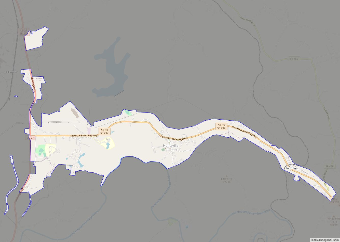
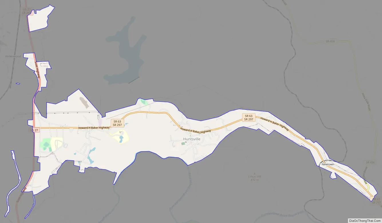
Huntsville Road Map
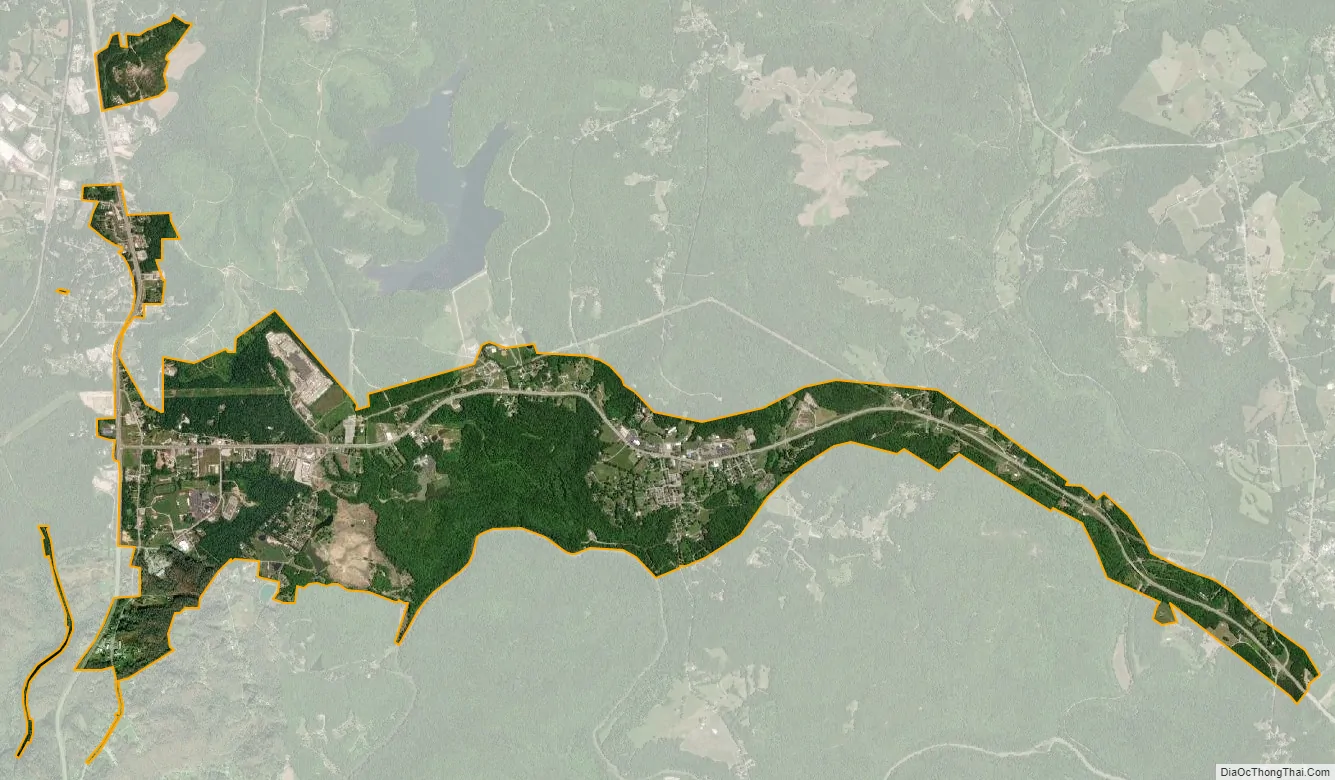
Huntsville city Satellite Map
Geography
Huntsville is located at 36°24′39″N 84°29′42″W / 36.41083°N 84.49500°W / 36.41083; -84.49500 (36.410732, -84.495124). The town is situated atop the Cumberland Plateau at just over 10 miles (16 km) west of the plateau’s eastern escarpment. Huntsville’s southern boundary is located along a series of cliffs overlooking New River, approximately 15 miles (24 km) upstream from the river’s mouth along the Big South Fork of the Cumberland River. Huntsville is surrounded by low mountains and hills that comprise the southern section of the Cumberland Mountains.
Huntsville’s town center is situated along State Route 63 (SR 63, Howard Baker Highway), although the town’s municipal boundaries stretch westward to SR 63’s junction with U.S. Route 27 (US 27, Scott Highway). SR 63 intersects Interstate 75 (I-75) approximately 15 miles (24 km) east of Huntsville, near the base of the Cumberland Plateau.
According to the United States Census Bureau, the town has a total area of 3.3 square miles (8.5 km), all of it land.
See also
Map of Tennessee State and its subdivision:- Anderson
- Bedford
- Benton
- Bledsoe
- Blount
- Bradley
- Campbell
- Cannon
- Carroll
- Carter
- Cheatham
- Chester
- Claiborne
- Clay
- Cocke
- Coffee
- Crockett
- Cumberland
- Davidson
- Decatur
- DeKalb
- Dickson
- Dyer
- Fayette
- Fentress
- Franklin
- Gibson
- Giles
- Grainger
- Greene
- Grundy
- Hamblen
- Hamilton
- Hancock
- Hardeman
- Hardin
- Hawkins
- Haywood
- Henderson
- Henry
- Hickman
- Houston
- Humphreys
- Jackson
- Jefferson
- Johnson
- Knox
- Lake
- Lauderdale
- Lawrence
- Lewis
- Lincoln
- Loudon
- Macon
- Madison
- Marion
- Marshall
- Maury
- McMinn
- McNairy
- Meigs
- Monroe
- Montgomery
- Moore
- Morgan
- Obion
- Overton
- Perry
- Pickett
- Polk
- Putnam
- Rhea
- Roane
- Robertson
- Rutherford
- Scott
- Sequatchie
- Sevier
- Shelby
- Smith
- Stewart
- Sullivan
- Sumner
- Tipton
- Trousdale
- Unicoi
- Union
- Van Buren
- Warren
- Washington
- Wayne
- Weakley
- White
- Williamson
- Wilson
- Alabama
- Alaska
- Arizona
- Arkansas
- California
- Colorado
- Connecticut
- Delaware
- District of Columbia
- Florida
- Georgia
- Hawaii
- Idaho
- Illinois
- Indiana
- Iowa
- Kansas
- Kentucky
- Louisiana
- Maine
- Maryland
- Massachusetts
- Michigan
- Minnesota
- Mississippi
- Missouri
- Montana
- Nebraska
- Nevada
- New Hampshire
- New Jersey
- New Mexico
- New York
- North Carolina
- North Dakota
- Ohio
- Oklahoma
- Oregon
- Pennsylvania
- Rhode Island
- South Carolina
- South Dakota
- Tennessee
- Texas
- Utah
- Vermont
- Virginia
- Washington
- West Virginia
- Wisconsin
- Wyoming