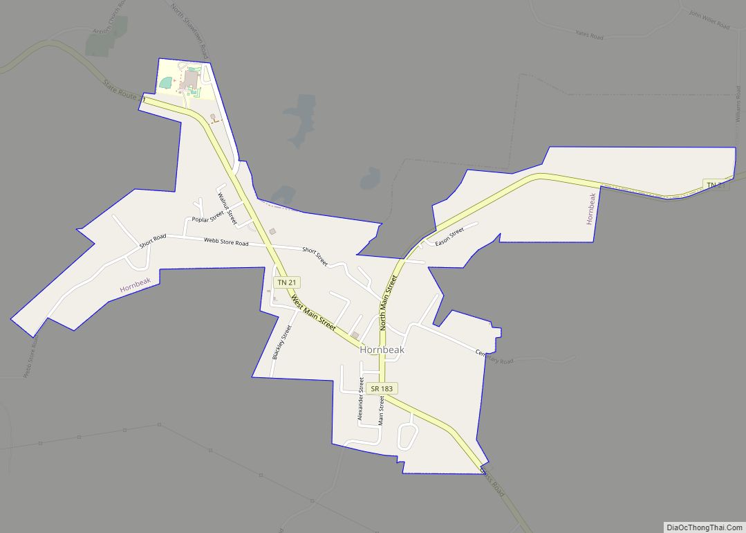
Hornbeak is a town in Obion County, Tennessee, United States. The population was 424 as of the 2010 census. It is part of the Union City, TN–KY Micropolitan Statistical Area. Hornbeak was originally known as Wilsonville, not to be confused with the settlement of the same name in Cocke County. It was renamed Hornbeak after the owner of the town’s general store, Frank Hornbeak.
| Name: | Hornbeak town |
|---|---|
| LSAD Code: | 43 |
| LSAD Description: | town (suffix) |
| State: | Tennessee |
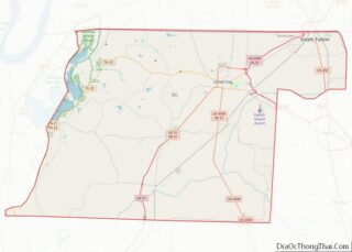
| County: | Obion County |
| Elevation: | 476 ft (145 m) |
| Total Area: | 1.05 sq mi (2.72 km²) |
| Land Area: | 1.05 sq mi (2.72 km²) |
| Water Area: | 0.00 sq mi (0.00 km²) |
| Total Population: | 511 |
| Population Density: | 486.20/sq mi (187.74/km²) |
| ZIP code: | 38232 |
| Area code: | 731 |
| FIPS code: | 4736000 |
| GNISfeature ID: | 1288362 |
Online Interactive Map
Click on ![]() to view map in "full screen" mode.
to view map in "full screen" mode.
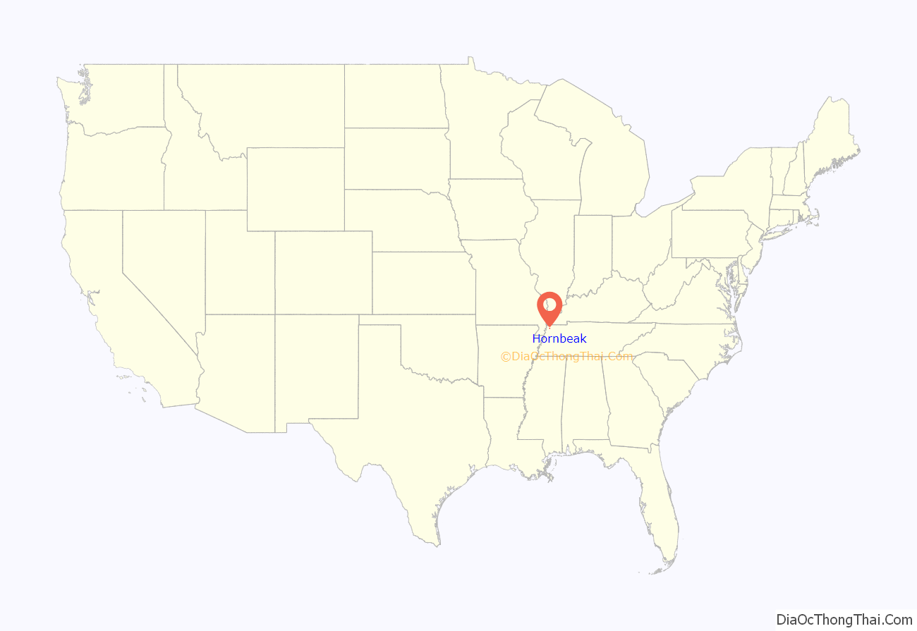
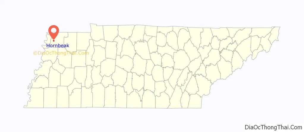
Hornbeak location map. Where is Hornbeak town?
History
The Riders |1906
During the attempts to privately control Reelfoot Lake in 1906, “The Night Riders” came to the nearby town of Hornbeak and gave all the black families notice to get out. The Riders stated that when they returned any black still there would be killed. True to their word, The Riders returned the next day and rounded up all the black males they could find in short notice. They were mostly shot, a few hanged but all buried on private land, alongside State road 21, just inside the East current city limits on the North side. The women and children were spared, and all quickly relocated. For many years following the killings, the victims families visited on the weekend. As late as 1930 my mom witnessed them. They picnicked and kept the graves clean but after several years the owner fenced the land and bulldozed any markers that remained. My mother took me to the location in 1960 and pointed it out so that it would not be forgotten. (36.3400347, -89.2753623) My grandmother acknowledged having seen the acts, saying “I’ve seen The Riders and I’ve seen what they do!”, but refusing to speak further, visibly still shaken, after over 60 years.
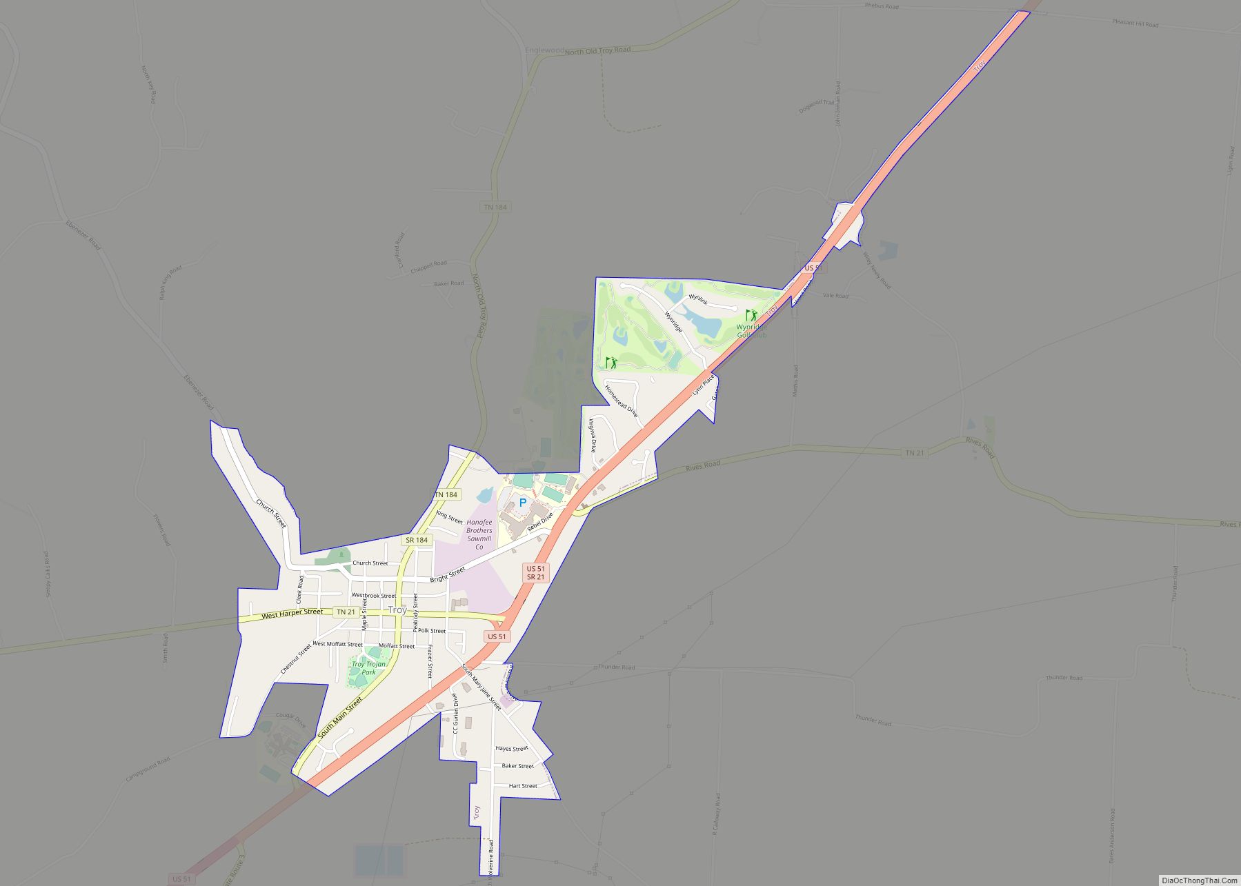
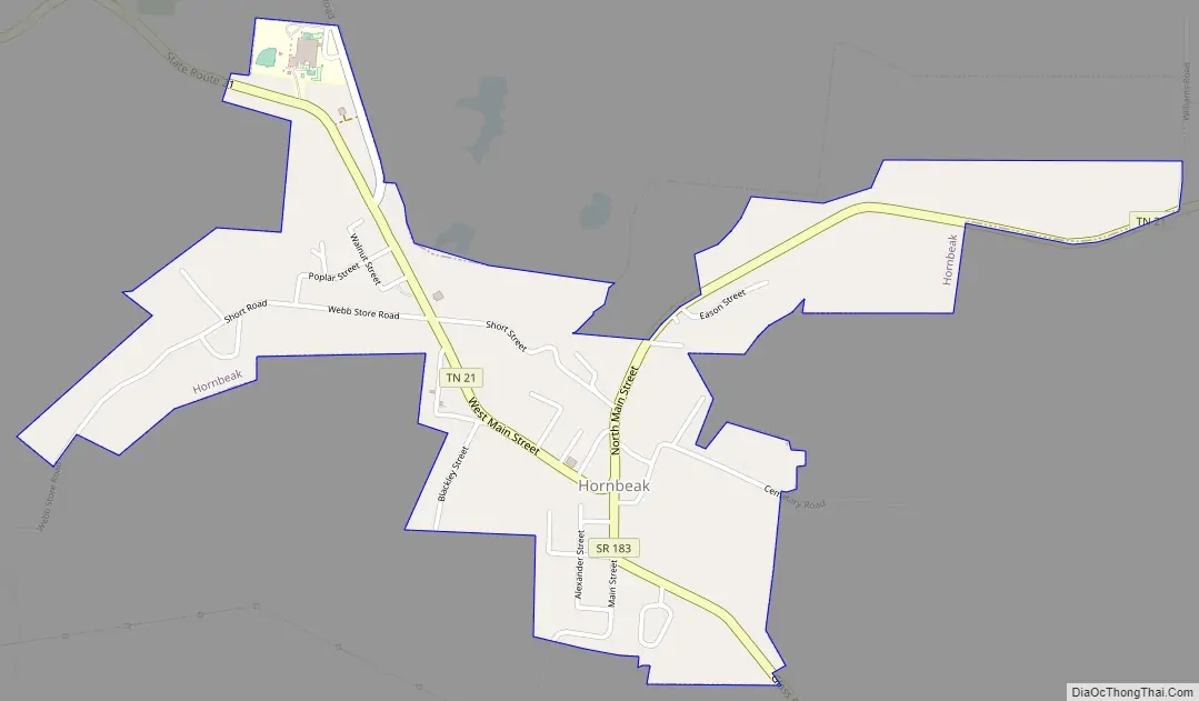
Hornbeak Road Map
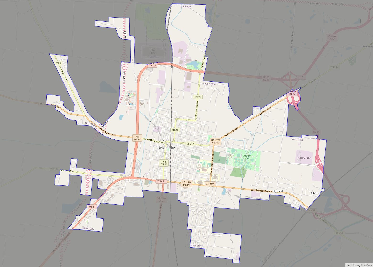
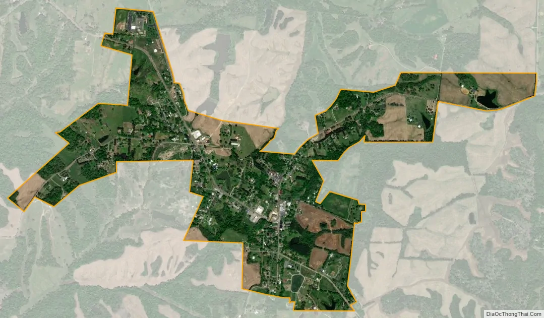
Hornbeak city Satellite Map
Geography
Hornbeak is located at 36°20′2″N 89°17′57″W / 36.33389°N 89.29917°W / 36.33389; -89.29917 (36.333879, -89.299292).
According to the United States Census Bureau, the town has a total area of 0.6-square-mile (1.6 km), all land.
See also
Map of Tennessee State and its subdivision:- Anderson
- Bedford
- Benton
- Bledsoe
- Blount
- Bradley
- Campbell
- Cannon
- Carroll
- Carter
- Cheatham
- Chester
- Claiborne
- Clay
- Cocke
- Coffee
- Crockett
- Cumberland
- Davidson
- Decatur
- DeKalb
- Dickson
- Dyer
- Fayette
- Fentress
- Franklin
- Gibson
- Giles
- Grainger
- Greene
- Grundy
- Hamblen
- Hamilton
- Hancock
- Hardeman
- Hardin
- Hawkins
- Haywood
- Henderson
- Henry
- Hickman
- Houston
- Humphreys
- Jackson
- Jefferson
- Johnson
- Knox
- Lake
- Lauderdale
- Lawrence
- Lewis
- Lincoln
- Loudon
- Macon
- Madison
- Marion
- Marshall
- Maury
- McMinn
- McNairy
- Meigs
- Monroe
- Montgomery
- Moore
- Morgan
- Obion
- Overton
- Perry
- Pickett
- Polk
- Putnam
- Rhea
- Roane
- Robertson
- Rutherford
- Scott
- Sequatchie
- Sevier
- Shelby
- Smith
- Stewart
- Sullivan
- Sumner
- Tipton
- Trousdale
- Unicoi
- Union
- Van Buren
- Warren
- Washington
- Wayne
- Weakley
- White
- Williamson
- Wilson
- Alabama
- Alaska
- Arizona
- Arkansas
- California
- Colorado
- Connecticut
- Delaware
- District of Columbia
- Florida
- Georgia
- Hawaii
- Idaho
- Illinois
- Indiana
- Iowa
- Kansas
- Kentucky
- Louisiana
- Maine
- Maryland
- Massachusetts
- Michigan
- Minnesota
- Mississippi
- Missouri
- Montana
- Nebraska
- Nevada
- New Hampshire
- New Jersey
- New Mexico
- New York
- North Carolina
- North Dakota
- Ohio
- Oklahoma
- Oregon
- Pennsylvania
- Rhode Island
- South Carolina
- South Dakota
- Tennessee
- Texas
- Utah
- Vermont
- Virginia
- Washington
- West Virginia
- Wisconsin
- Wyoming