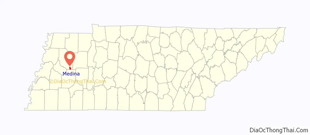
Medina (/ˈmədaɪ.nə/) is a city in Gibson County, Tennessee, United States. The population was 5,126 at the 2020 census, Medina is included in Jackson-Humboldt, Tenn. metropolitan statistical area (MSA).
| Name: | Medina city |
|---|---|
| LSAD Code: | 25 |
| LSAD Description: | city (suffix) |
| State: | Tennessee |
| County: | Gibson County |
| Elevation: | 492 ft (150 m) |
| Total Area: | 4.03 sq mi (10.44 km²) |
| Land Area: | 4.01 sq mi (10.39 km²) |
| Water Area: | 0.02 sq mi (0.06 km²) |
| Total Population: | 5,126 |
| Population Density: | 1,278.30/sq mi (493.51/km²) |
| ZIP code: | 38355 |
| Area code: | 731 |
| FIPS code: | 4747000 |
| GNISfeature ID: | 1293529 |
| Website: | www.cityofmedinatn.org |
Online Interactive Map
Click on ![]() to view map in "full screen" mode.
to view map in "full screen" mode.
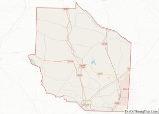
Medina location map. Where is Medina city?
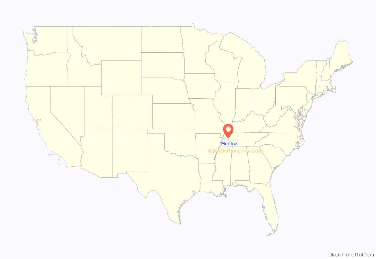
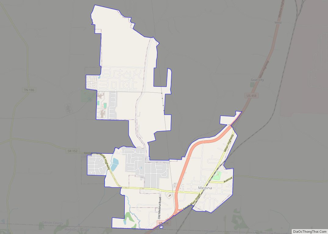
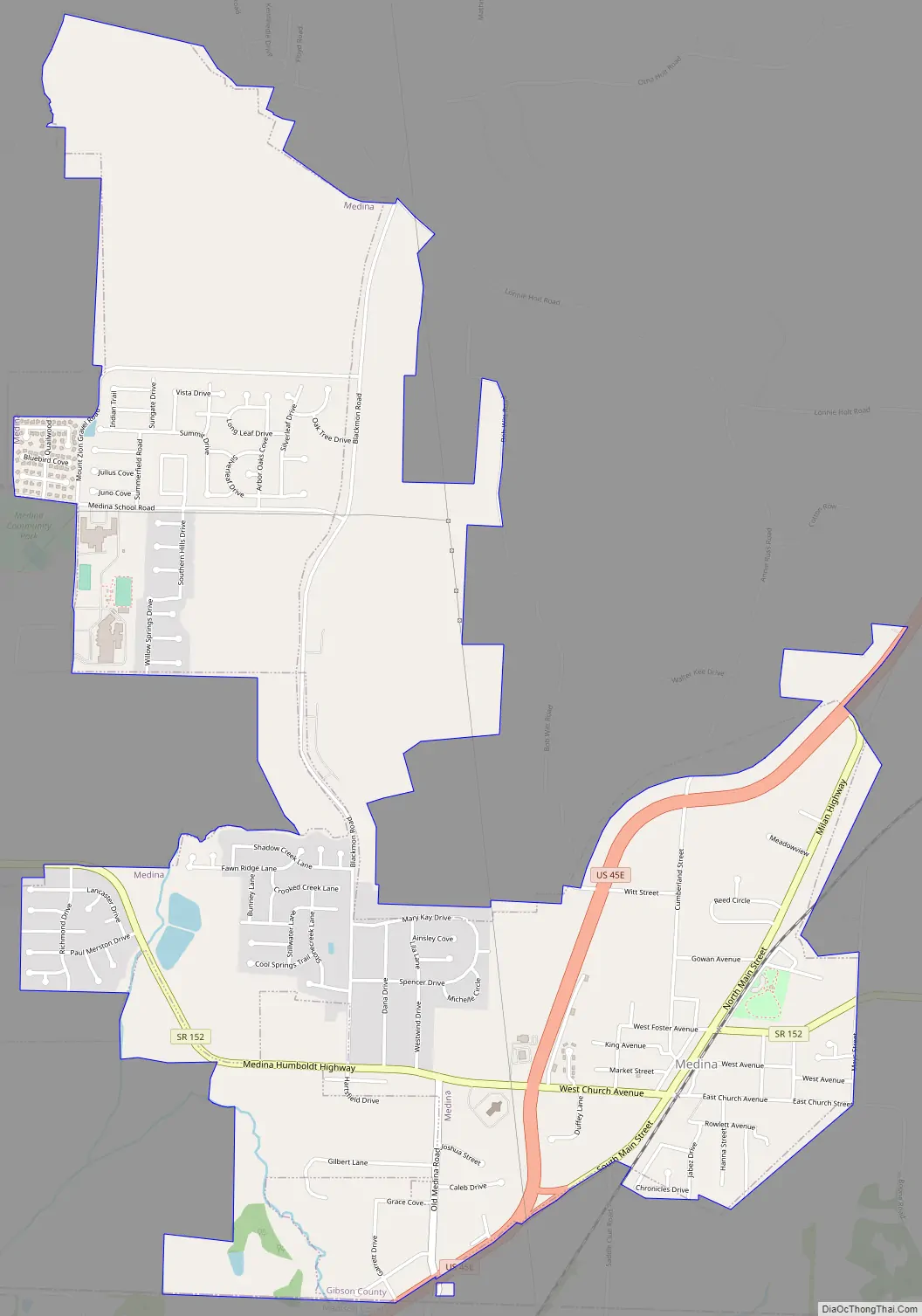
Medina Road Map
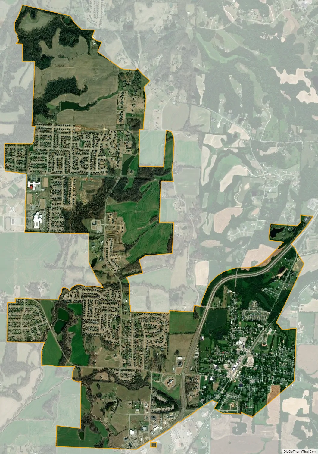
Medina city Satellite Map
Geography
Medina is located in southern Gibson County centered around 35°48′19″N 88°46′51″W / 35.80528°N 88.78083°W / 35.80528; -88.78083 (35.805376, -88.780904). The city is contained within two separate areas connected by part of Blackmon Rd.; a small part of its southern border follows the Madison County line.
According to the United States Census Bureau, the city of Medina has a total area of 3.2 square miles (8.2 km), of which 0.02 square miles (0.06 km), or 0.70%, are water.
See also
Map of Tennessee State and its subdivision:- Anderson
- Bedford
- Benton
- Bledsoe
- Blount
- Bradley
- Campbell
- Cannon
- Carroll
- Carter
- Cheatham
- Chester
- Claiborne
- Clay
- Cocke
- Coffee
- Crockett
- Cumberland
- Davidson
- Decatur
- DeKalb
- Dickson
- Dyer
- Fayette
- Fentress
- Franklin
- Gibson
- Giles
- Grainger
- Greene
- Grundy
- Hamblen
- Hamilton
- Hancock
- Hardeman
- Hardin
- Hawkins
- Haywood
- Henderson
- Henry
- Hickman
- Houston
- Humphreys
- Jackson
- Jefferson
- Johnson
- Knox
- Lake
- Lauderdale
- Lawrence
- Lewis
- Lincoln
- Loudon
- Macon
- Madison
- Marion
- Marshall
- Maury
- McMinn
- McNairy
- Meigs
- Monroe
- Montgomery
- Moore
- Morgan
- Obion
- Overton
- Perry
- Pickett
- Polk
- Putnam
- Rhea
- Roane
- Robertson
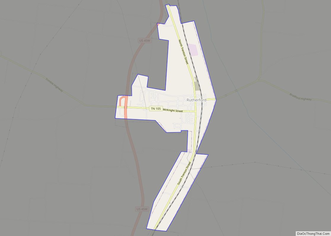
- Rutherford
- Scott
- Sequatchie
- Sevier
- Shelby
- Smith
- Stewart
- Sullivan
- Sumner
- Tipton
- Trousdale
- Unicoi
- Union
- Van Buren
- Warren
- Washington
- Wayne
- Weakley
- White
- Williamson
- Wilson
- Alabama
- Alaska
- Arizona
- Arkansas
- California
- Colorado
- Connecticut
- Delaware
- District of Columbia
- Florida
- Georgia
- Hawaii
- Idaho
- Illinois
- Indiana
- Iowa
- Kansas
- Kentucky
- Louisiana
- Maine
- Maryland
- Massachusetts
- Michigan
- Minnesota
- Mississippi
- Missouri
- Montana
- Nebraska
- Nevada
- New Hampshire
- New Jersey
- New Mexico
- New York
- North Carolina
- North Dakota
- Ohio
- Oklahoma
- Oregon
- Pennsylvania
- Rhode Island
- South Carolina
- South Dakota
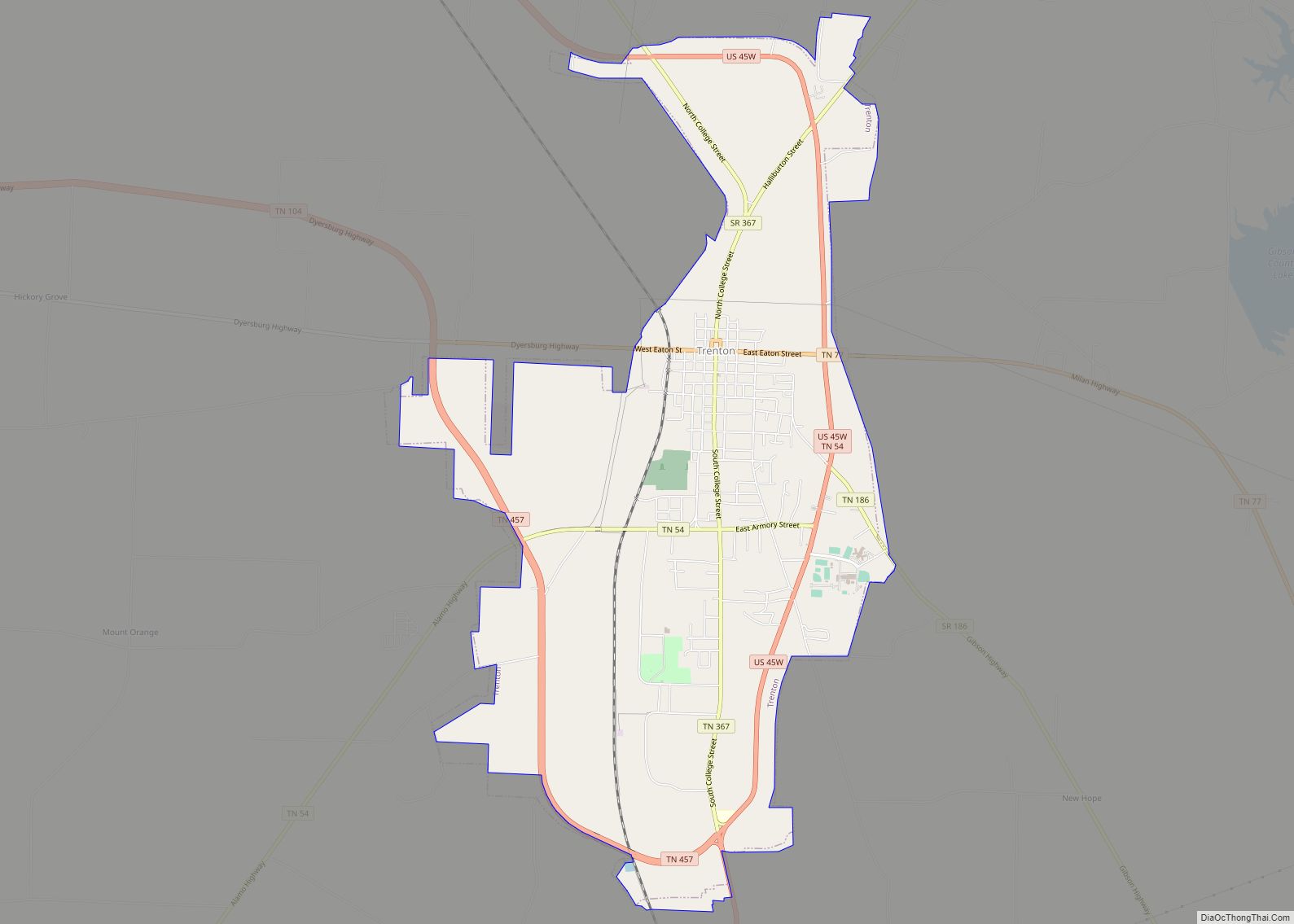
- Tennessee
- Texas
- Utah
- Vermont
- Virginia
- Washington
- West Virginia
- Wisconsin
- Wyoming