Midtown is a census-designated place (CDP) in Roane County, Tennessee, United States. Its population was 1,360 as of the 2010 census. Twice in the 1990s residents voted to incorporate as a town, and for a time the community maintained a municipal government, but the incorporation was challenged in court and eventually overturned after the state statute under which Midtown incorporated was ruled unconstitutional. It was a city at the time of the 2000 census, when the population was 1,306. It is included in the Knoxville Metropolitan Area.
| Name: | Midtown CDP |
|---|---|
| LSAD Code: | 57 |
| LSAD Description: | CDP (suffix) |
| State: | Tennessee |
| County: | Roane County |
| Elevation: | 827 ft (252 m) |
| Total Area: | 4.49 sq mi (11.64 km²) |
| Land Area: | 4.49 sq mi (11.63 km²) |
| Water Area: | 0.00 sq mi (0.01 km²) |
| Total Population: | 1,220 |
| Population Density: | 271.78/sq mi (104.94/km²) |
| ZIP code: | 37748 |
| Area code: | 865 |
| FIPS code: | 4748460 |
| GNISfeature ID: | 1293720 |
Online Interactive Map
Click on ![]() to view map in "full screen" mode.
to view map in "full screen" mode.
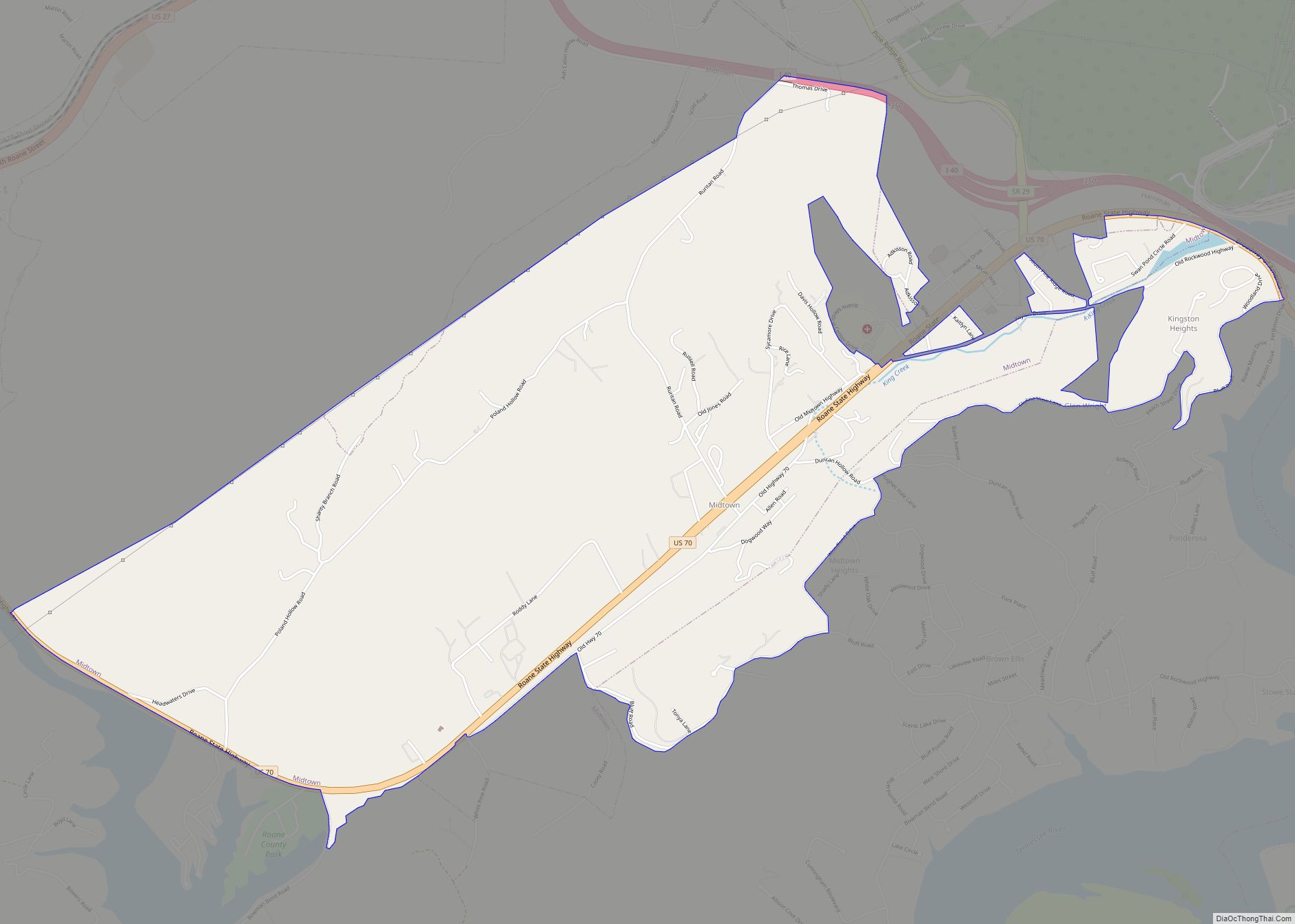
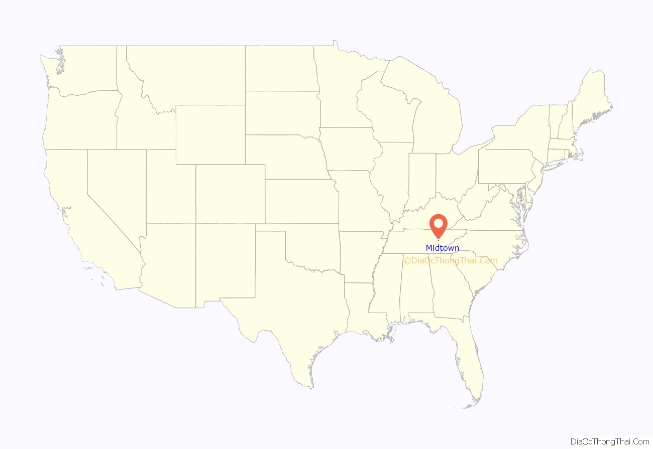
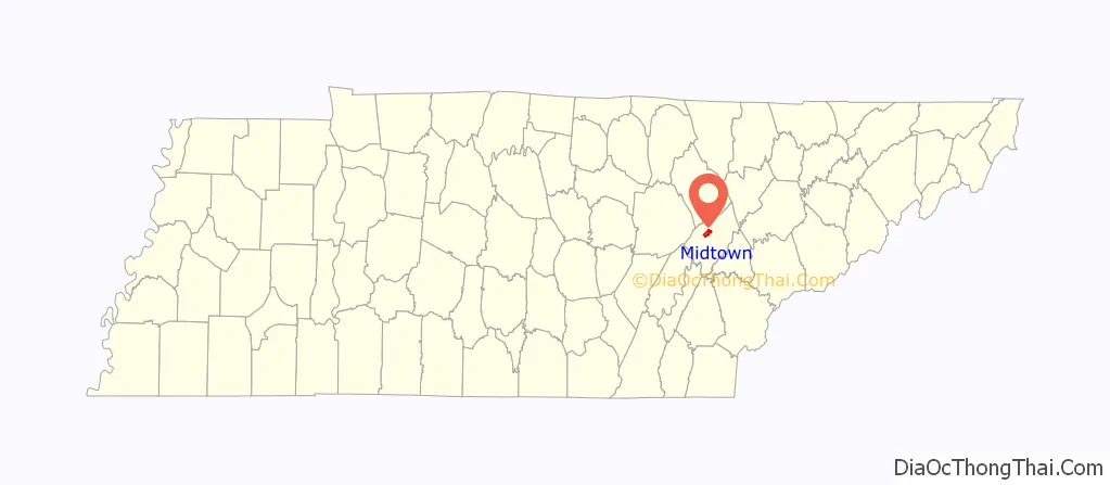
Midtown location map. Where is Midtown CDP?
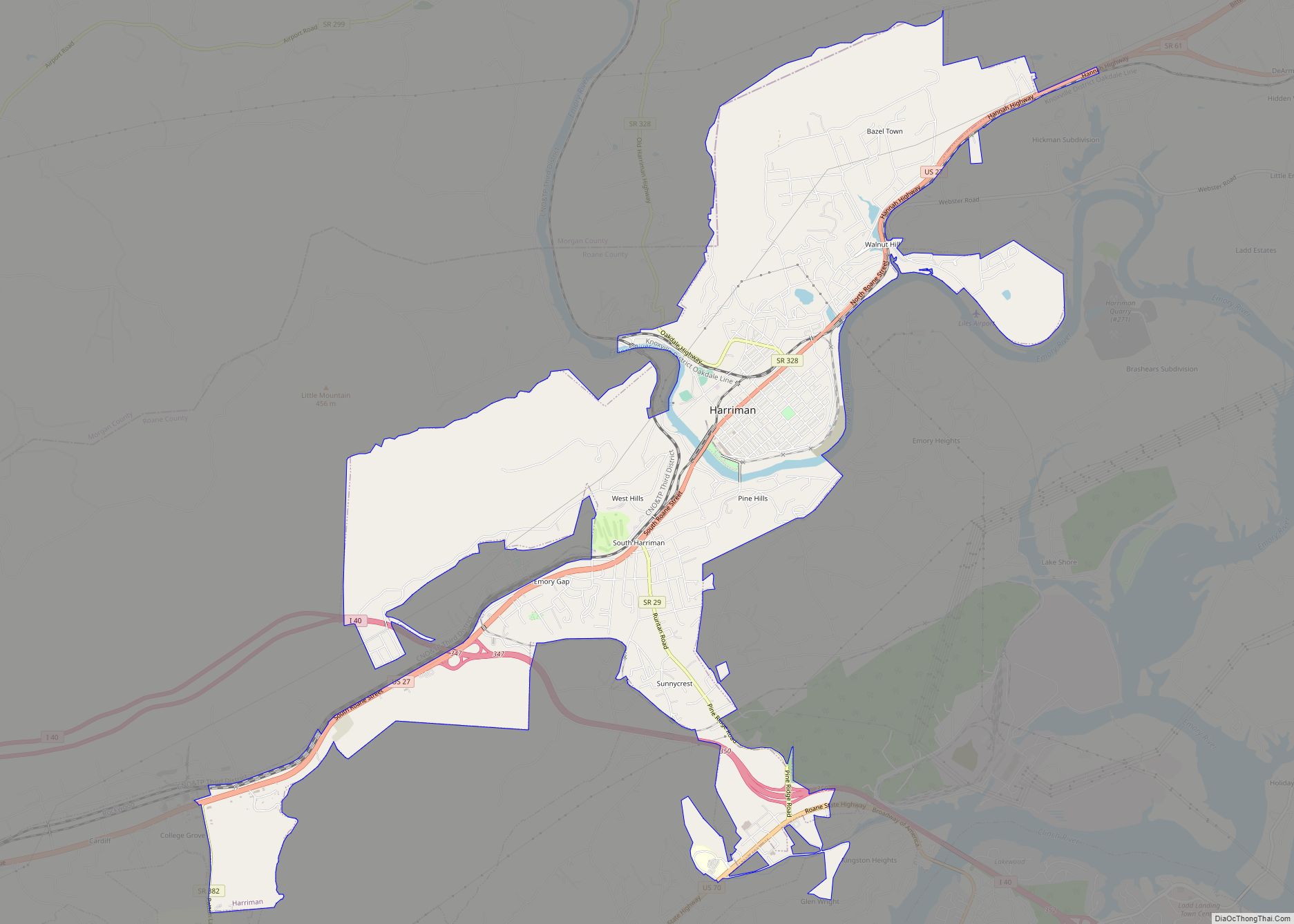
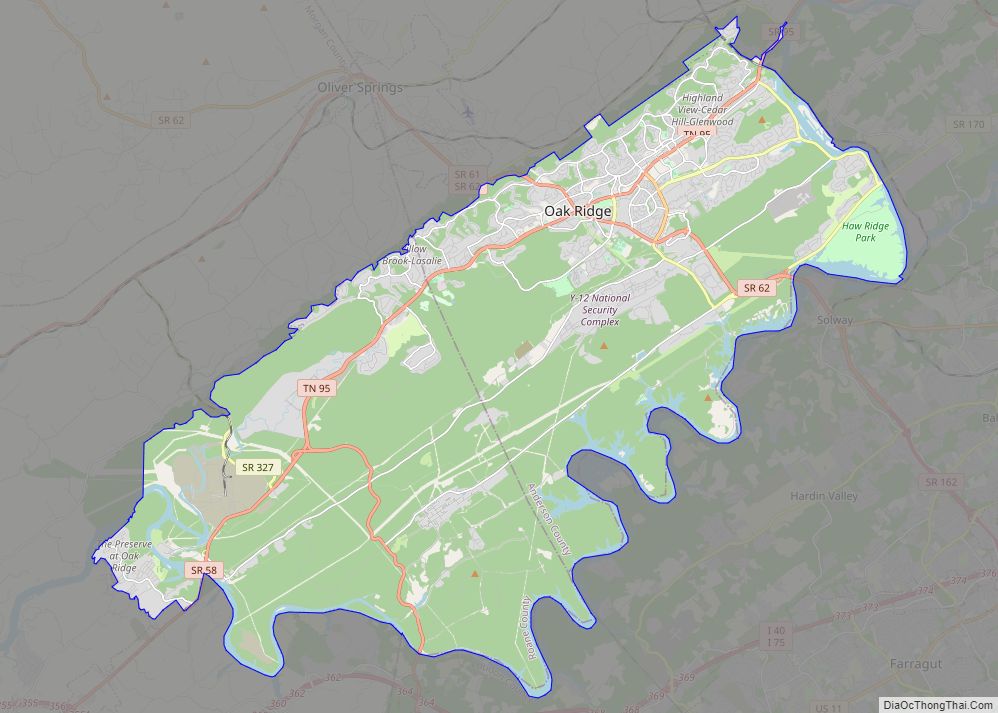
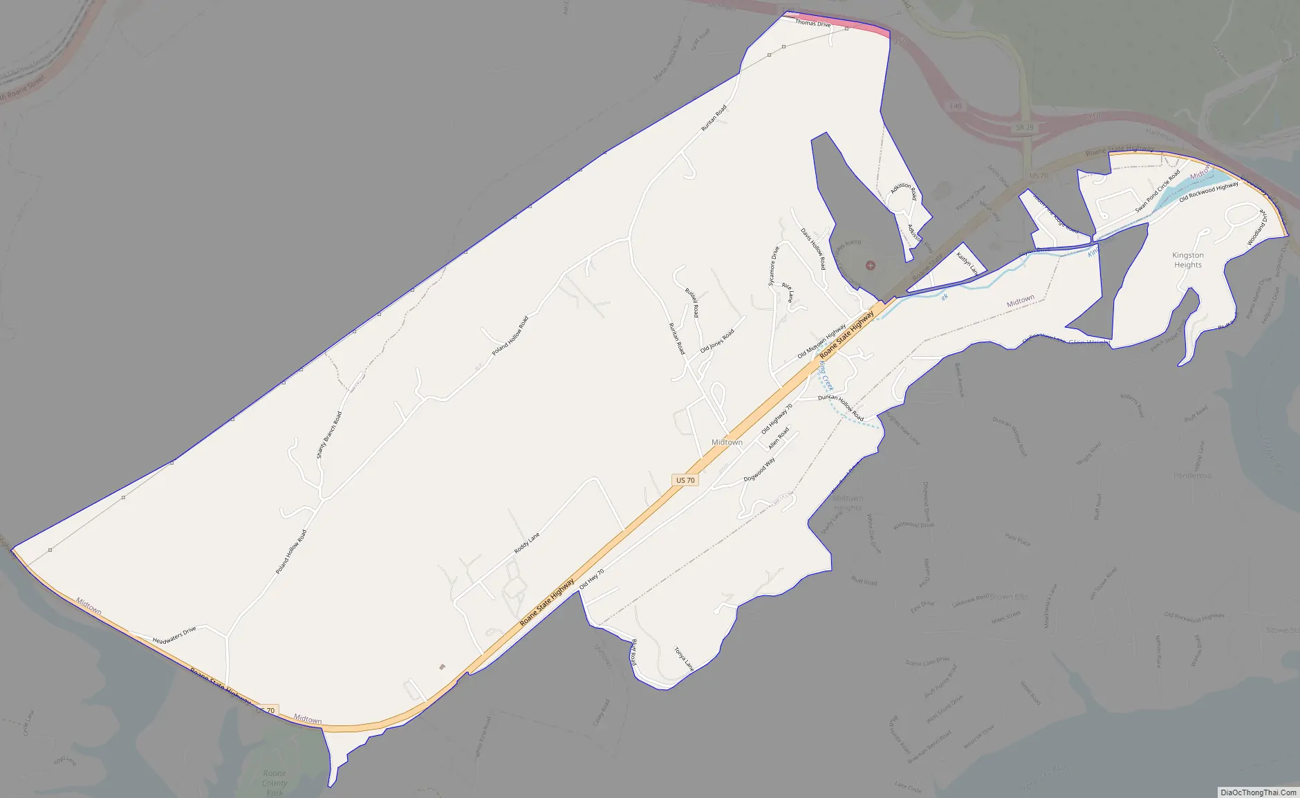
Midtown Road Map
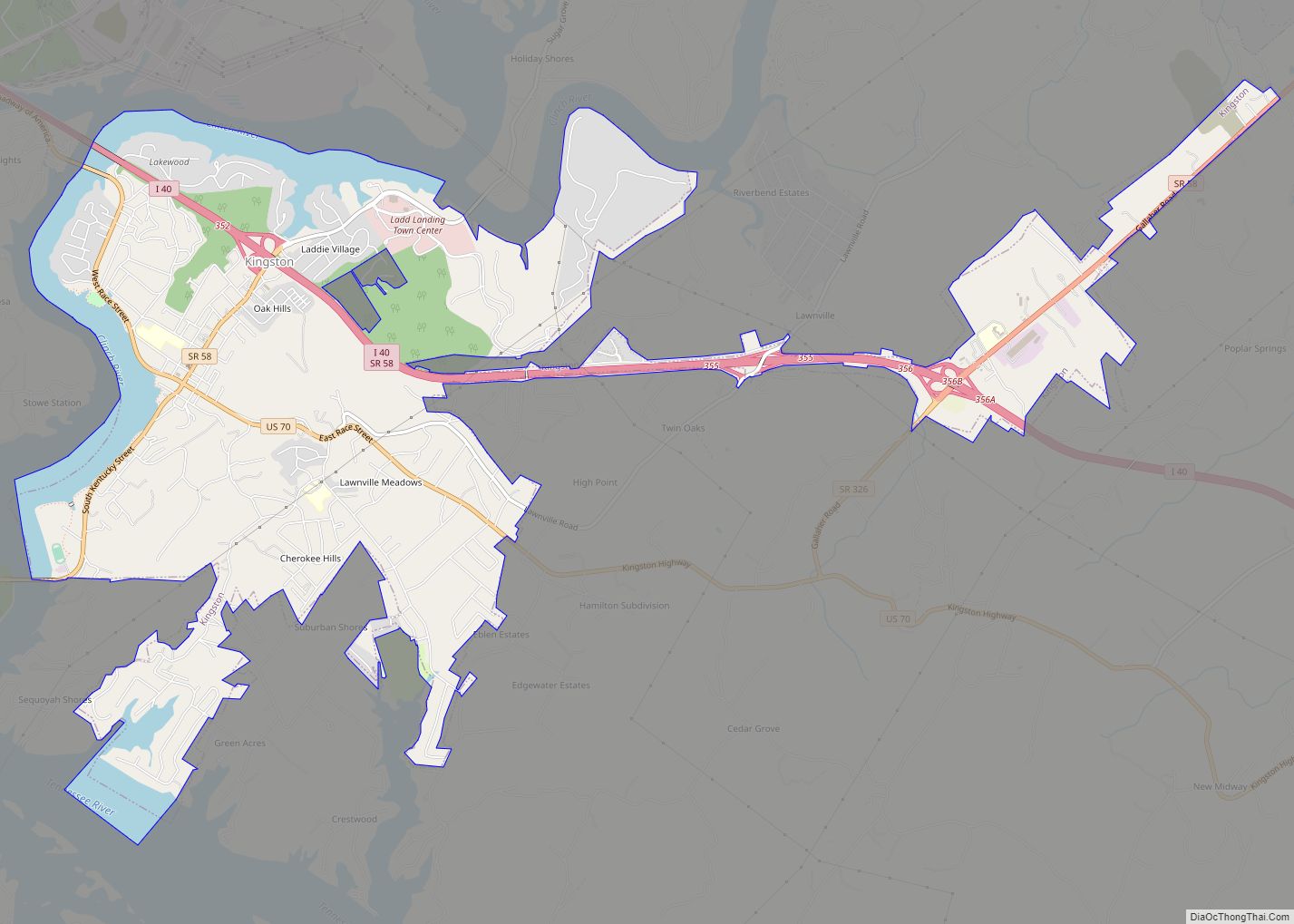
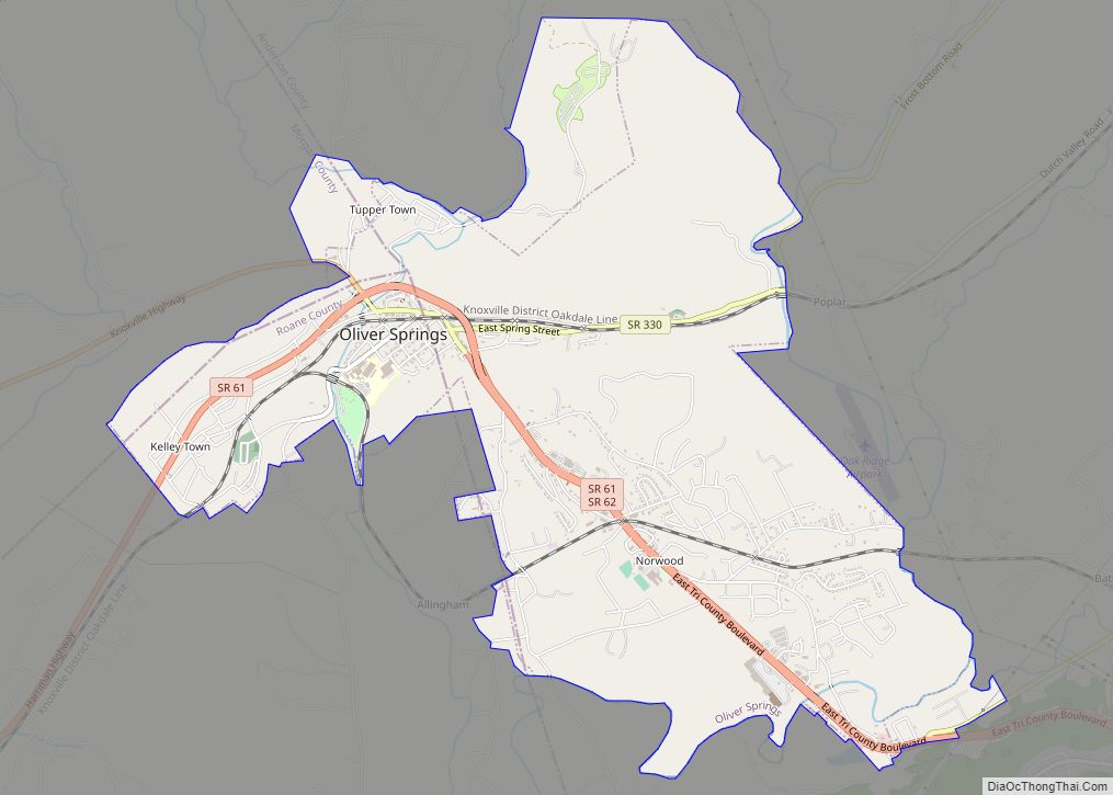
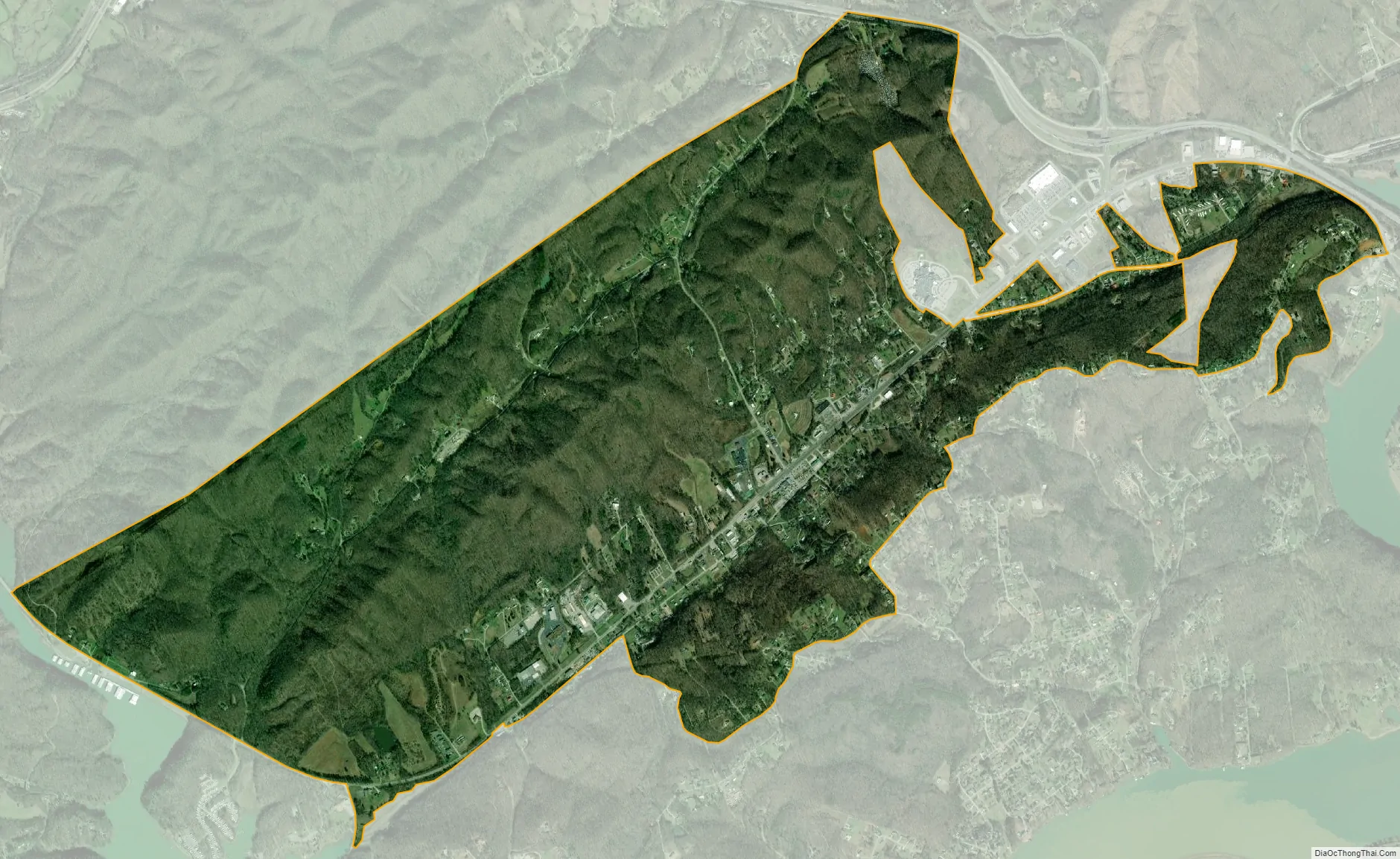
Midtown city Satellite Map
Geography
Midtown is located at 35°52′55″N 84°33′53″W / 35.88194°N 84.56472°W / 35.88194; -84.56472 (35.882070, -84.564672).
According to the United States Census Bureau, the city had a total area of 4.6 square miles (12 km), all of it land.
See also
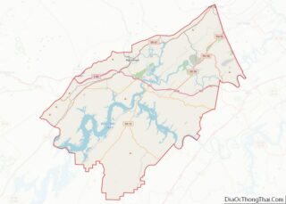
Map of Tennessee State and its subdivision:- Anderson
- Bedford
- Benton
- Bledsoe
- Blount
- Bradley
- Campbell
- Cannon
- Carroll
- Carter
- Cheatham
- Chester
- Claiborne
- Clay
- Cocke
- Coffee
- Crockett
- Cumberland
- Davidson
- Decatur
- DeKalb
- Dickson
- Dyer
- Fayette
- Fentress
- Franklin
- Gibson
- Giles
- Grainger
- Greene
- Grundy
- Hamblen
- Hamilton
- Hancock
- Hardeman
- Hardin
- Hawkins
- Haywood
- Henderson
- Henry
- Hickman
- Houston
- Humphreys
- Jackson
- Jefferson
- Johnson
- Knox
- Lake
- Lauderdale
- Lawrence
- Lewis
- Lincoln
- Loudon
- Macon
- Madison
- Marion
- Marshall
- Maury
- McMinn
- McNairy
- Meigs
- Monroe
- Montgomery
- Moore
- Morgan
- Obion
- Overton
- Perry
- Pickett
- Polk
- Putnam
- Rhea
- Roane
- Robertson
- Rutherford
- Scott
- Sequatchie
- Sevier
- Shelby
- Smith
- Stewart
- Sullivan
- Sumner
- Tipton
- Trousdale
- Unicoi
- Union
- Van Buren
- Warren
- Washington
- Wayne
- Weakley
- White
- Williamson
- Wilson
- Alabama
- Alaska
- Arizona
- Arkansas
- California
- Colorado
- Connecticut
- Delaware
- District of Columbia
- Florida
- Georgia
- Hawaii
- Idaho
- Illinois
- Indiana
- Iowa
- Kansas
- Kentucky
- Louisiana
- Maine
- Maryland
- Massachusetts
- Michigan
- Minnesota
- Mississippi
- Missouri
- Montana
- Nebraska
- Nevada
- New Hampshire
- New Jersey
- New Mexico
- New York
- North Carolina
- North Dakota
- Ohio
- Oklahoma
- Oregon
- Pennsylvania
- Rhode Island
- South Carolina
- South Dakota
- Tennessee
- Texas
- Utah
- Vermont
- Virginia
- Washington
- West Virginia
- Wisconsin
- Wyoming