New Johnsonville is a city in Humphreys County, Tennessee, United States. The population was 1,951 at the 2010 census.
| Name: | New Johnsonville city |
|---|---|
| LSAD Code: | 25 |
| LSAD Description: | city (suffix) |
| State: | Tennessee |
| County: | Humphreys County |
| Incorporated: | 1949 |
| Elevation: | 436 ft (133 m) |
| Total Area: | 6.88 sq mi (17.83 km²) |
| Land Area: | 5.14 sq mi (13.33 km²) |
| Water Area: | 1.74 sq mi (4.50 km²) |
| Total Population: | 1,804 |
| Population Density: | 350.63/sq mi (135.38/km²) |
| ZIP code: | 37134 |
| Area code: | 931 |
| FIPS code: | 4752820 |
| GNISfeature ID: | 1295581 |
| Website: | www.cityofnewjohnsonville.com |
Online Interactive Map
Click on ![]() to view map in "full screen" mode.
to view map in "full screen" mode.
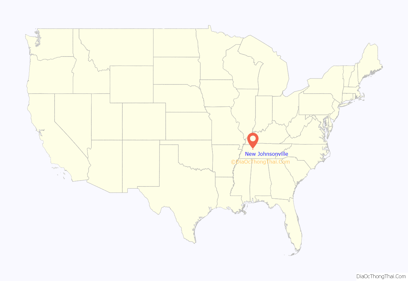
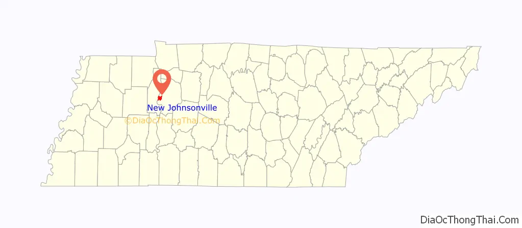
New Johnsonville location map. Where is New Johnsonville city?
History
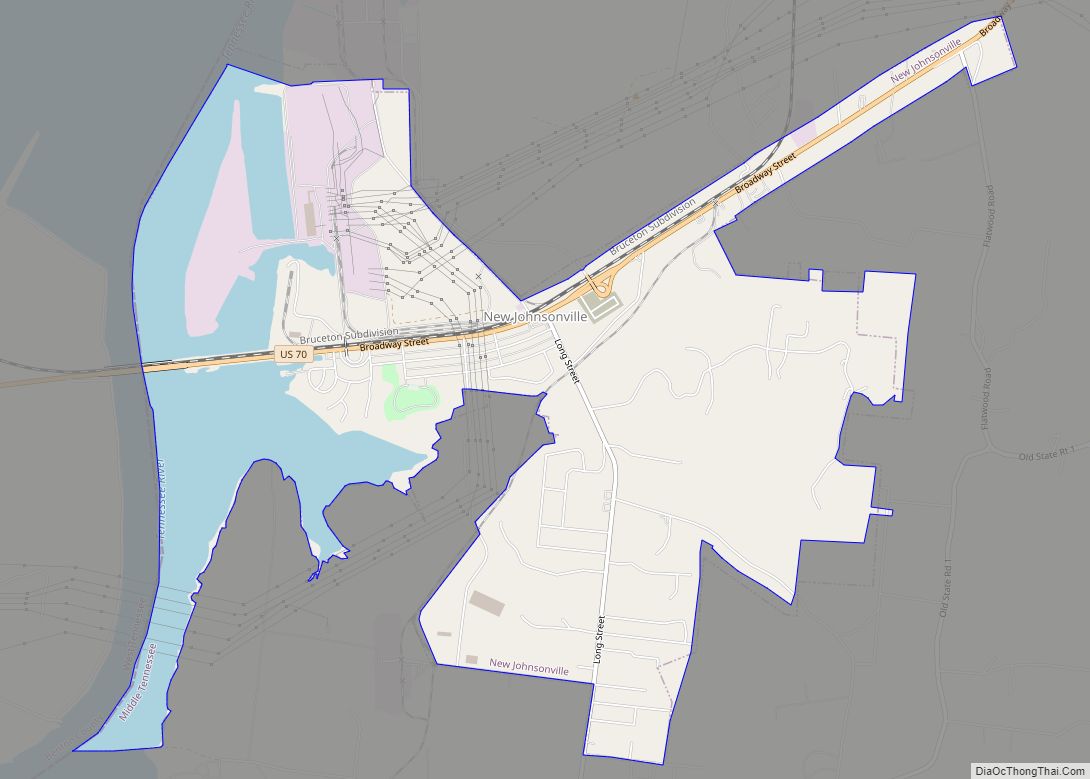
The history of New Johnsonville is rooted in the town of Johnsonville, which was once situated on the Tennessee River about 3 miles (5 km) downstream. Johnsonville, named for Andrew Johnson, was most notably the site of the Battle of Johnsonville during the Civil War. Johnsonville was inundated by the Tennessee Valley Authority’s construction of Kentucky Dam in 1944, and many of its residents moved to the current site of New Johnsonville, which was incorporated in 1949.
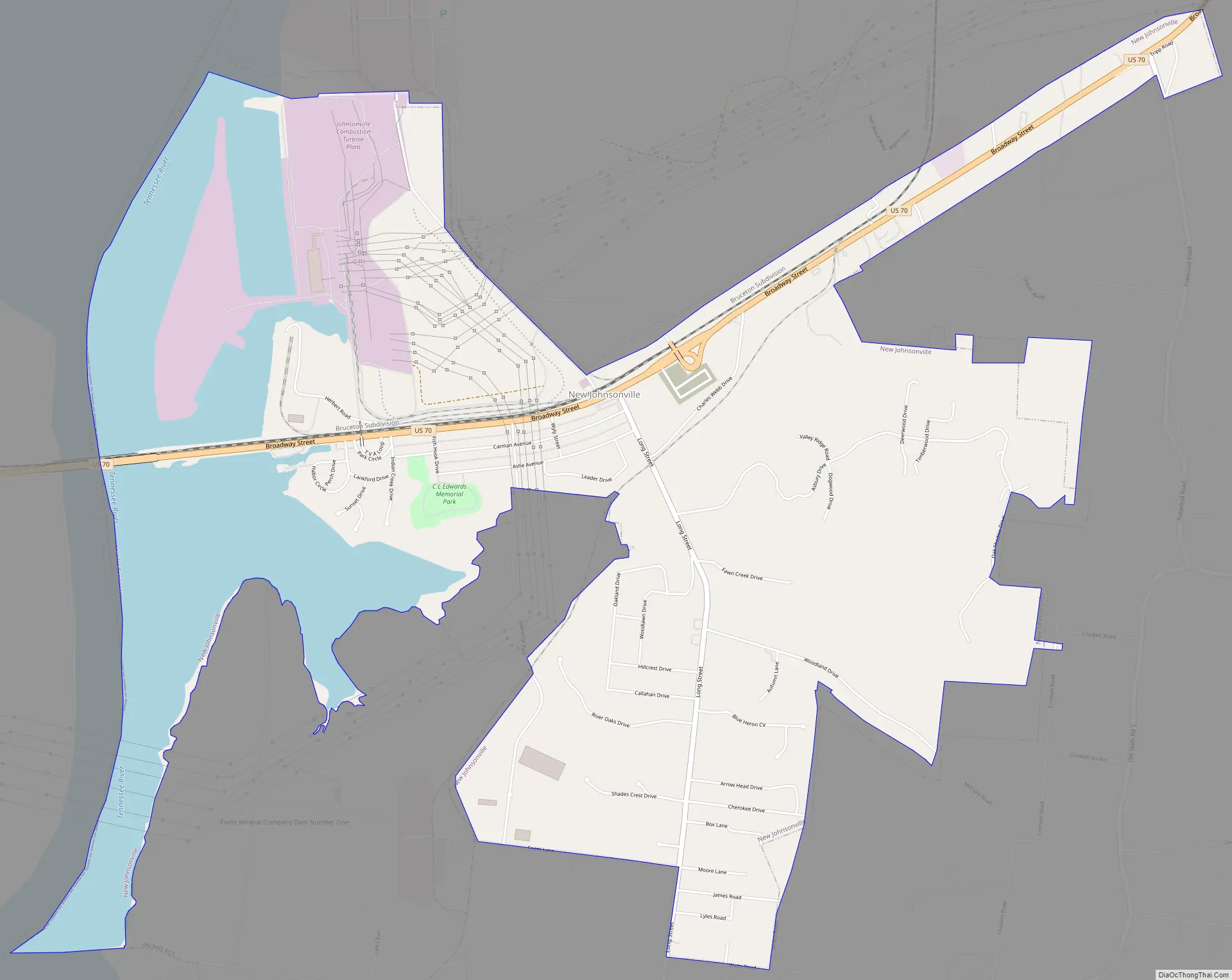
New Johnsonville Road Map
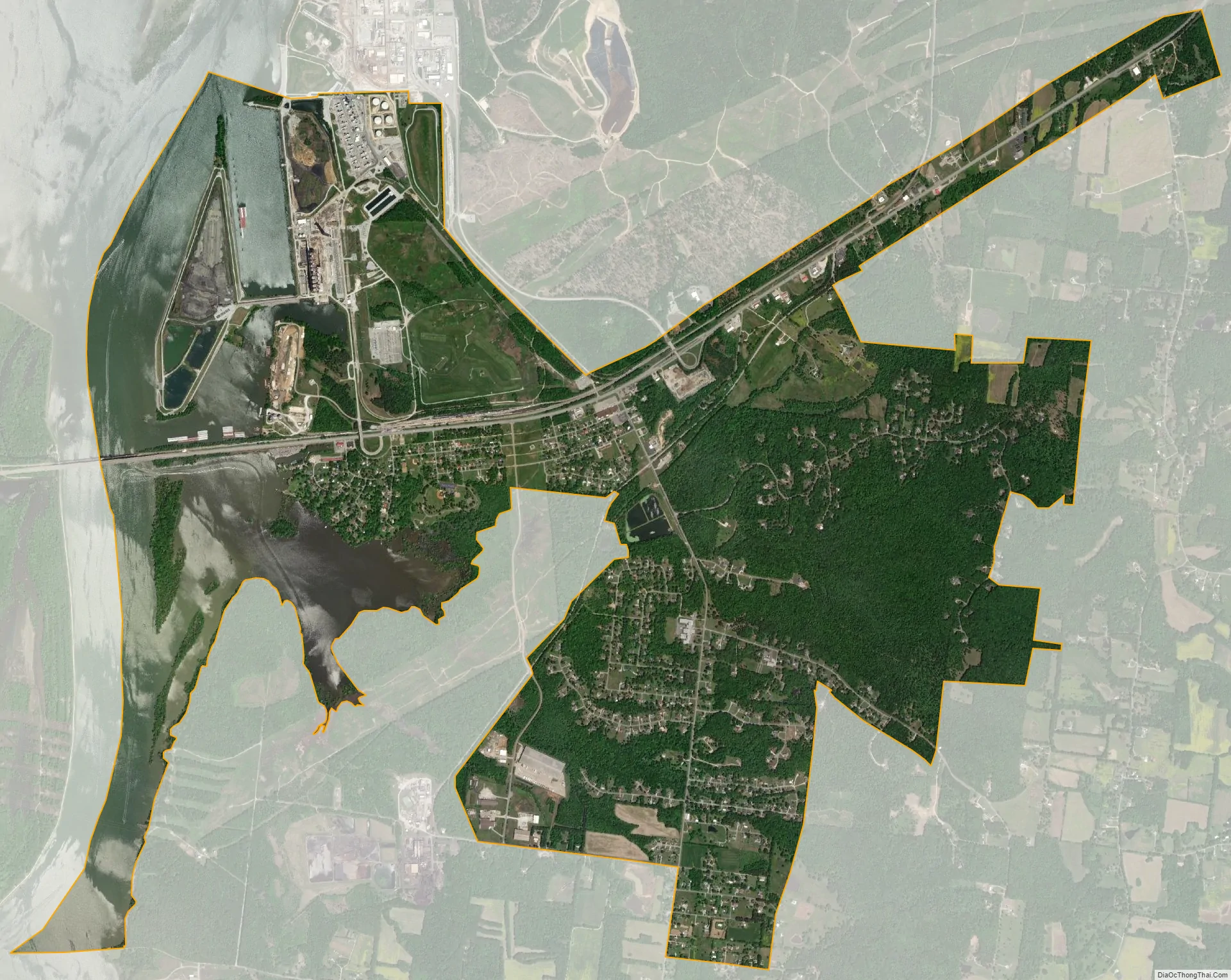
New Johnsonville city Satellite Map
Geography
New Johnsonville is located along the western border of Humphreys County at 36°1′9″N 87°58′3″W / 36.01917°N 87.96750°W / 36.01917; -87.96750 (36.019087, -87.967619). It is on the east side of Kentucky Lake on the Tennessee River. U.S. Route 70 passes through the city, leading northeast 12 miles (19 km) to Waverly, the Humphreys county seat, and west 8 miles (13 km) to Camden.
According to the United States Census Bureau, the city has a total area of 7.1 square miles (18.3 km), of which 5.3 square miles (13.7 km) are land and 1.8 square miles (4.6 km), or 25.07%, are water.
See also
Map of Tennessee State and its subdivision:- Anderson
- Bedford
- Benton
- Bledsoe
- Blount
- Bradley
- Campbell
- Cannon
- Carroll
- Carter
- Cheatham
- Chester
- Claiborne
- Clay
- Cocke
- Coffee
- Crockett
- Cumberland
- Davidson
- Decatur
- DeKalb
- Dickson
- Dyer
- Fayette
- Fentress
- Franklin
- Gibson
- Giles
- Grainger
- Greene
- Grundy
- Hamblen
- Hamilton
- Hancock
- Hardeman
- Hardin
- Hawkins
- Haywood
- Henderson
- Henry
- Hickman
- Houston
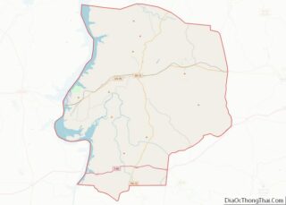
- Humphreys
- Jackson
- Jefferson
- Johnson
- Knox
- Lake
- Lauderdale
- Lawrence
- Lewis
- Lincoln
- Loudon
- Macon
- Madison
- Marion
- Marshall
- Maury
- McMinn
- McNairy
- Meigs
- Monroe
- Montgomery
- Moore
- Morgan
- Obion
- Overton
- Perry
- Pickett
- Polk
- Putnam
- Rhea
- Roane
- Robertson
- Rutherford
- Scott
- Sequatchie
- Sevier
- Shelby
- Smith
- Stewart
- Sullivan
- Sumner
- Tipton
- Trousdale
- Unicoi
- Union
- Van Buren
- Warren
- Washington
- Wayne
- Weakley
- White
- Williamson
- Wilson
- Alabama
- Alaska
- Arizona
- Arkansas
- California
- Colorado
- Connecticut
- Delaware
- District of Columbia
- Florida
- Georgia
- Hawaii
- Idaho
- Illinois
- Indiana
- Iowa
- Kansas
- Kentucky
- Louisiana
- Maine
- Maryland
- Massachusetts
- Michigan
- Minnesota
- Mississippi
- Missouri
- Montana
- Nebraska
- Nevada
- New Hampshire
- New Jersey
- New Mexico
- New York
- North Carolina
- North Dakota
- Ohio
- Oklahoma
- Oregon
- Pennsylvania
- Rhode Island
- South Carolina
- South Dakota
- Tennessee
- Texas
- Utah
- Vermont
- Virginia
- Washington
- West Virginia
- Wisconsin
- Wyoming