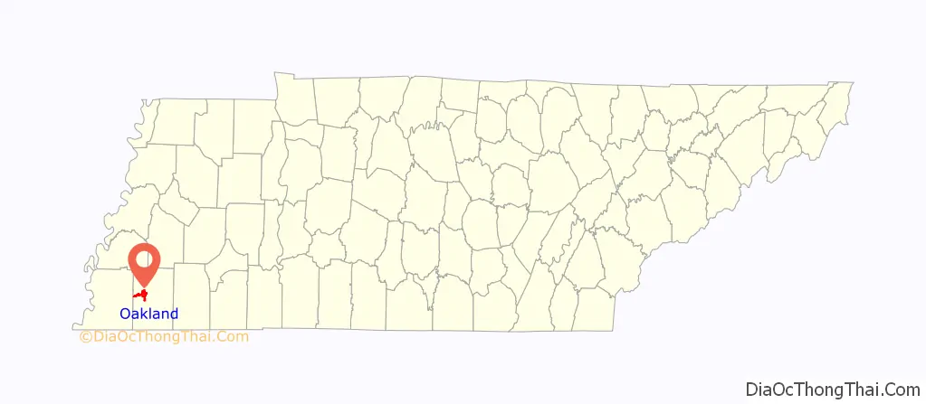
Oakland is a town in Fayette County, Tennessee, United States. In 2020 the population of the town was 8,936, a gain of 417.8% since 2000, Reasons for this population boom, are the cities/counties low taxes, its low crime rate, and the 4 lane expansion of U.S. Highway 64 in the early 1990s.
| Name: | Oakland town |
|---|---|
| LSAD Code: | 43 |
| LSAD Description: | town (suffix) |
| State: | Tennessee |
| County: | Fayette County |
| Elevation: | 381 ft (116 m) |
| Total Area: | 10.45 sq mi (27.08 km²) |
| Land Area: | 10.42 sq mi (26.99 km²) |
| Water Area: | 0.03 sq mi (0.09 km²) |
| Total Population: | 8,936 |
| Population Density: | 857.50/sq mi (331.08/km²) |
| ZIP code: | 38060 |
| Area code: | 901 |
| FIPS code: | 4754920 |
| GNISfeature ID: | 1296176 |
| Website: | www.oaklandtennessee.org |
Online Interactive Map
Click on ![]() to view map in "full screen" mode.
to view map in "full screen" mode.
Oakland location map. Where is Oakland town?
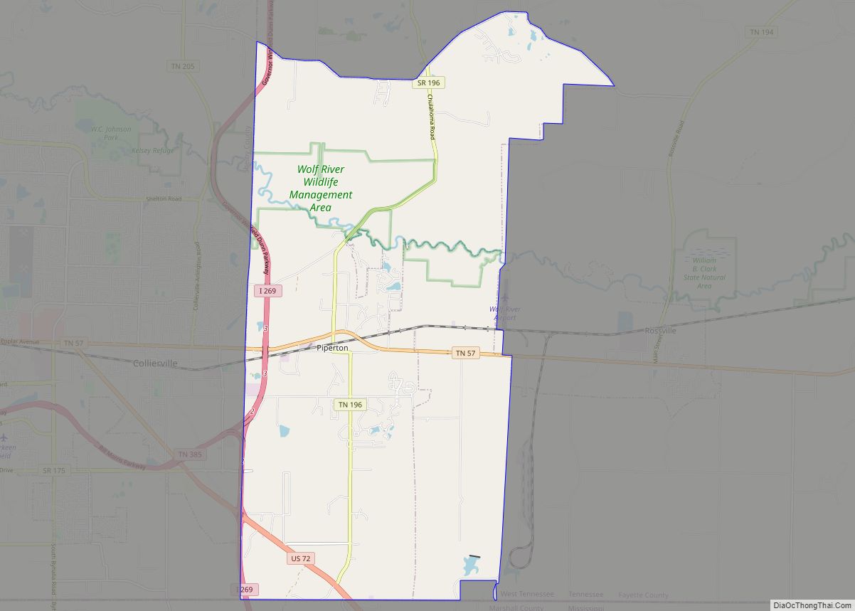
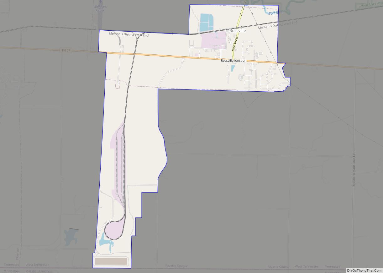
Oakland Road Map
Oakland city Satellite Map
Geography
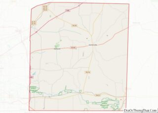
Oakland is located in west-central Fayette County. U.S. Route 64 is the main highway through town, leading east 9 miles (14 km) to Somerville, the county seat, and west 32 miles (51 km) to downtown Memphis. South 18 miles (29 km) is the Tennessee-Mississippi state line. Tennessee Routes 194 and 196 are north-south state highways in Oakland.
According to the United States Census Bureau, as of 2010 the town had a total area of 10.3 square miles (26.6 km), compared to a total area in 2000 of 3.6 square miles (9.3 km). The town limits have expanded north and south of the original town center, and especially to the west along US 64, extending 6.5 miles (10.5 km) to nearly reach the Shelby County line.
Climate:
See also
Map of Tennessee State and its subdivision:- Anderson
- Bedford
- Benton
- Bledsoe
- Blount
- Bradley
- Campbell
- Cannon
- Carroll
- Carter
- Cheatham
- Chester
- Claiborne
- Clay
- Cocke
- Coffee
- Crockett
- Cumberland
- Davidson
- Decatur
- DeKalb
- Dickson
- Dyer
- Fayette
- Fentress
- Franklin
- Gibson
- Giles
- Grainger
- Greene
- Grundy
- Hamblen
- Hamilton
- Hancock
- Hardeman
- Hardin
- Hawkins
- Haywood
- Henderson
- Henry
- Hickman
- Houston
- Humphreys
- Jackson
- Jefferson
- Johnson
- Knox
- Lake
- Lauderdale
- Lawrence
- Lewis
- Lincoln
- Loudon
- Macon
- Madison
- Marion
- Marshall
- Maury
- McMinn
- McNairy
- Meigs
- Monroe
- Montgomery
- Moore
- Morgan
- Obion
- Overton
- Perry
- Pickett
- Polk
- Putnam
- Rhea
- Roane
- Robertson
- Rutherford
- Scott
- Sequatchie
- Sevier
- Shelby
- Smith
- Stewart
- Sullivan
- Sumner
- Tipton
- Trousdale
- Unicoi
- Union
- Van Buren
- Warren
- Washington
- Wayne
- Weakley
- White
- Williamson
- Wilson
- Alabama
- Alaska
- Arizona
- Arkansas
- California
- Colorado
- Connecticut
- Delaware
- District of Columbia
- Florida
- Georgia
- Hawaii
- Idaho
- Illinois
- Indiana
- Iowa
- Kansas
- Kentucky
- Louisiana
- Maine
- Maryland
- Massachusetts
- Michigan
- Minnesota
- Mississippi
- Missouri
- Montana
- Nebraska
- Nevada
- New Hampshire
- New Jersey
- New Mexico
- New York
- North Carolina
- North Dakota
- Ohio
- Oklahoma
- Oregon
- Pennsylvania
- Rhode Island
- South Carolina
- South Dakota
- Tennessee
- Texas
- Utah
- Vermont
- Virginia
- Washington
- West Virginia
- Wisconsin
- Wyoming

