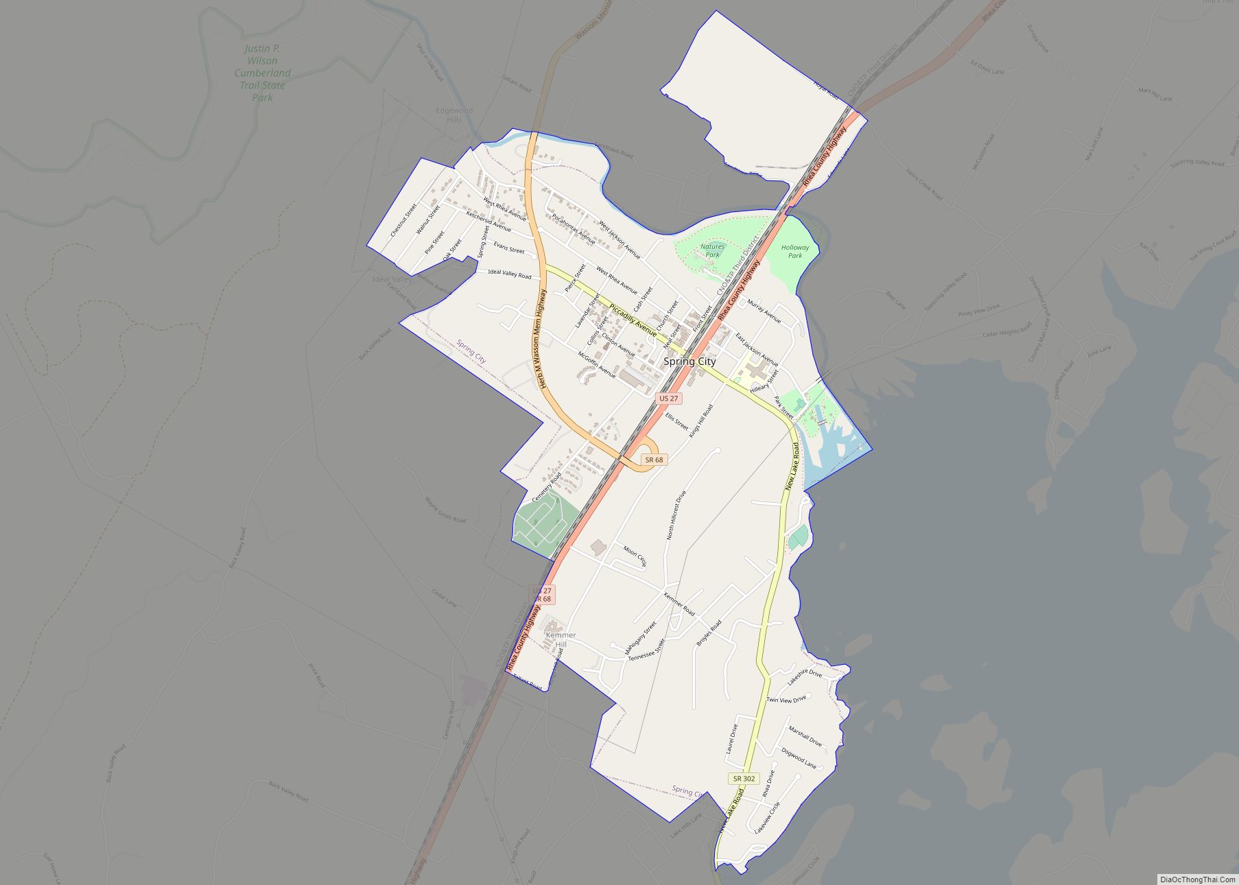
Spring City is a town in Rhea County, Tennessee, United States. The population was 1,949 at the 2020 census and 1,981 at the 2010 census. The town is located along Watts Bar Lake, and Watts Bar Dam and the Watts Bar Nuclear Generating Station are nearby.
| Name: | Spring City town |
|---|---|
| LSAD Code: | 43 |
| LSAD Description: | town (suffix) |
| State: | Tennessee |
| County: | Rhea County |
| Elevation: | 768 ft (234 m) |
| Total Area: | 2.80 sq mi (7.25 km²) |
| Land Area: | 2.76 sq mi (7.16 km²) |
| Water Area: | 0.04 sq mi (0.09 km²) |
| Total Population: | 1,949 |
| Population Density: | 705.14/sq mi (272.27/km²) |
| ZIP code: | 37337, 37381 |
| Area code: | 423 |
| FIPS code: | 4770400 |
| GNISfeature ID: | 1303755 |
| Website: | www.townofspringcitytn.org |
Online Interactive Map
Click on ![]() to view map in "full screen" mode.
to view map in "full screen" mode.
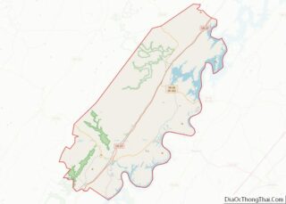
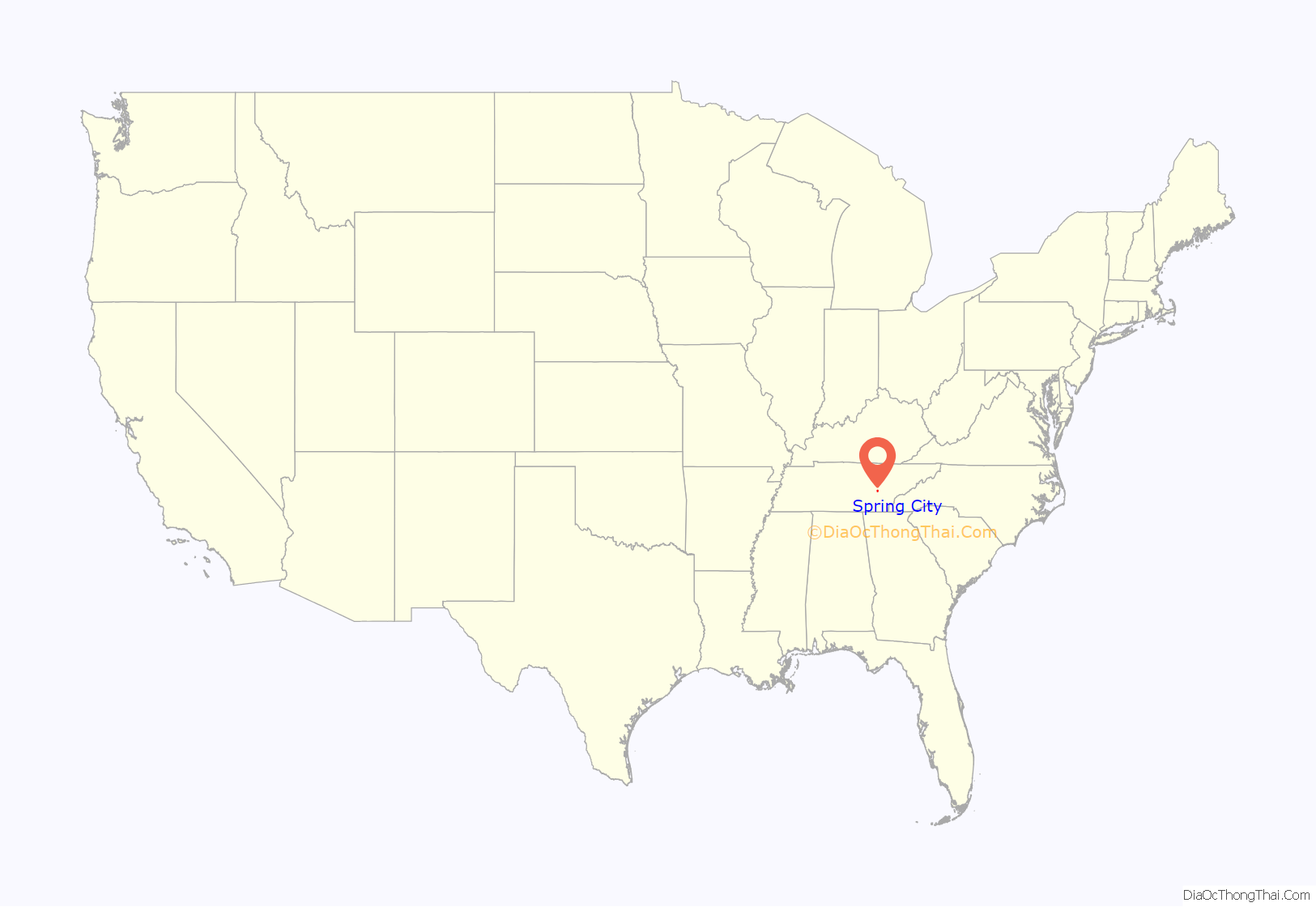
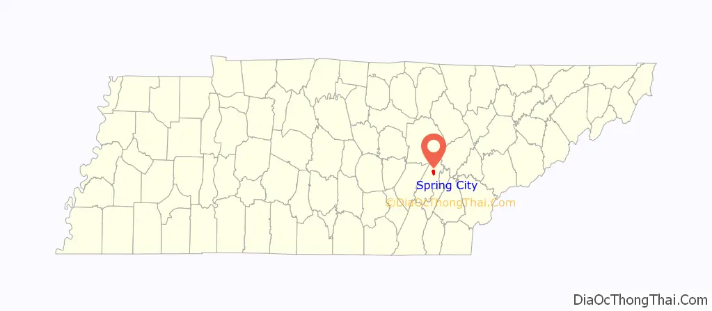
Spring City location map. Where is Spring City town?
History
Spring City began as a stop along the Cincinnati Southern Railroad in the 1870s. The town was originally named Sulphur Springs, because of the mass amount of sulphur in the water. Sometime later it became “Rheaville,” and later became incorporated with nearby Rhea Springs, and took on the name Rhea Springs. Due to an explosion, much of the town flooded or burnt, and the town relocated to its current location and was renamed Spring City, in honor of the original settlement, Sulphur Springs. The original location now lies at the bottom of a nearby section of Watts Bar Lake. Spring City thrived as a railroad shipping hub during the late 19th and early 20th centuries. Its first railroad depot, a simple wooden building constructed in 1879, burned in 1892, and was replaced by a larger one. This second depot was in turn replaced by the current depot, which was completed by the Southern Railway in 1909.
The city received an economic boost in 1942 with the Tennessee Valley Authority’s completion of Watts Bar Dam and its associated reservoir southeast of the town. That same year saw the completion of the Watts Bar Fossil Plant, TVA’s first coal-fired plant. In 1973, TVA began building Watts Bar Nuclear Plant. Its first reactor, Watts Bar Unit 1, became active in 1996. The construction of the second reactor, Watts Bar Unit 2, was originally suspended in 1985, but resumed in 2007. It entered commercial operation in October 2016.
On August 22, 1955, 11 schoolchildren were killed, and many others injured, when their school bus was struck by a 100-car freight train at a track crossing in Spring City.
On July 28, 2016, a train hauling coal derailed by the train depot and museum due to a faulty wheel on one of the privately owned coal cars. There were no casualties. A lengthy cleanup followed, where both track crossings in town had to be closed while repairs were made and debris cleared.
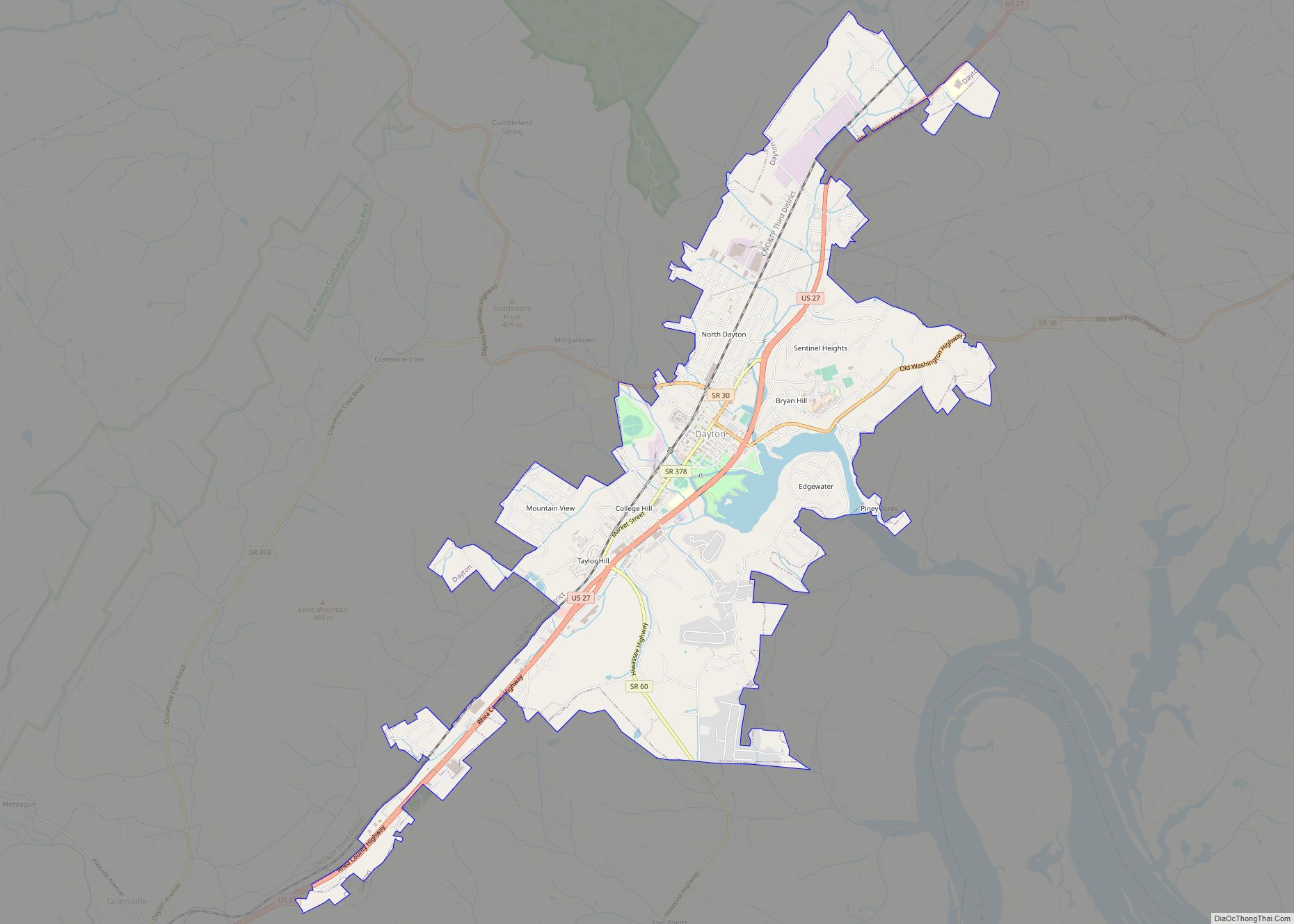
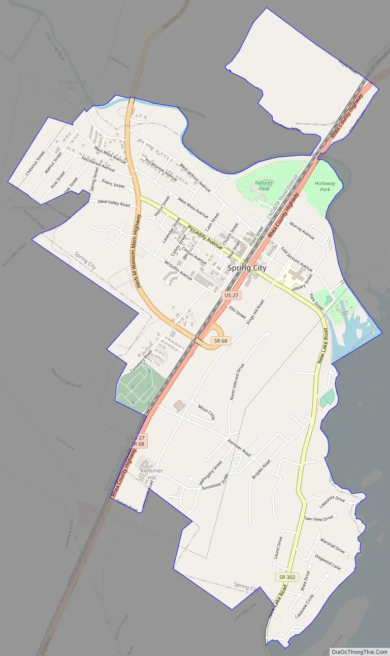
Spring City Road Map
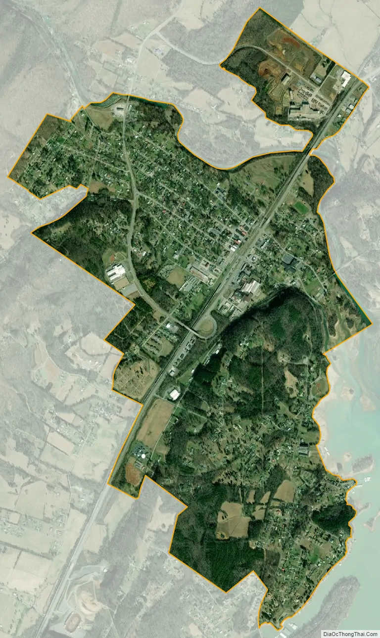
Spring City city Satellite Map
Geography
Spring City is located at 35°41′22″N 84°51′50″W / 35.68944°N 84.86389°W / 35.68944; -84.86389 (35.689422, -84.863885).
According to the United States Census Bureau, the town has a total area of 2.5 square miles (6.5 km), of which, 2.4 square miles (6.2 km) of it is land and 0.04 square miles (0.10 km) of it (1.21%) is water.
Climate
See also
Map of Tennessee State and its subdivision:- Anderson
- Bedford
- Benton
- Bledsoe
- Blount
- Bradley
- Campbell
- Cannon
- Carroll
- Carter
- Cheatham
- Chester
- Claiborne
- Clay
- Cocke
- Coffee
- Crockett
- Cumberland
- Davidson
- Decatur
- DeKalb
- Dickson
- Dyer
- Fayette
- Fentress
- Franklin
- Gibson
- Giles
- Grainger
- Greene
- Grundy
- Hamblen
- Hamilton
- Hancock
- Hardeman
- Hardin
- Hawkins
- Haywood
- Henderson
- Henry
- Hickman
- Houston
- Humphreys
- Jackson
- Jefferson
- Johnson
- Knox
- Lake
- Lauderdale
- Lawrence
- Lewis
- Lincoln
- Loudon
- Macon
- Madison
- Marion
- Marshall
- Maury
- McMinn
- McNairy
- Meigs
- Monroe
- Montgomery
- Moore
- Morgan
- Obion
- Overton
- Perry
- Pickett
- Polk
- Putnam
- Rhea
- Roane
- Robertson
- Rutherford
- Scott
- Sequatchie
- Sevier
- Shelby
- Smith
- Stewart
- Sullivan
- Sumner
- Tipton
- Trousdale
- Unicoi
- Union
- Van Buren
- Warren
- Washington
- Wayne
- Weakley
- White
- Williamson
- Wilson
- Alabama
- Alaska
- Arizona
- Arkansas
- California
- Colorado
- Connecticut
- Delaware
- District of Columbia
- Florida
- Georgia
- Hawaii
- Idaho
- Illinois
- Indiana
- Iowa
- Kansas
- Kentucky
- Louisiana
- Maine
- Maryland
- Massachusetts
- Michigan
- Minnesota
- Mississippi
- Missouri
- Montana
- Nebraska
- Nevada
- New Hampshire
- New Jersey
- New Mexico
- New York
- North Carolina
- North Dakota
- Ohio
- Oklahoma
- Oregon
- Pennsylvania
- Rhode Island
- South Carolina
- South Dakota
- Tennessee
- Texas
- Utah
- Vermont
- Virginia
- Washington
- West Virginia
- Wisconsin
- Wyoming