Viola is a town in Warren County, Tennessee, United States. The population was 129 at the 2000 census and 131 at the 2010 census.
| Name: | Viola town |
|---|---|
| LSAD Code: | 43 |
| LSAD Description: | town (suffix) |
| State: | Tennessee |
| County: | Warren County |
| Incorporated: | 1901 |
| Elevation: | 1,001 ft (305 m) |
| Total Area: | 0.49 sq mi (1.26 km²) |
| Land Area: | 0.49 sq mi (1.26 km²) |
| Water Area: | 0.00 sq mi (0.00 km²) |
| Total Population: | 93 |
| Population Density: | 191.36/sq mi (73.91/km²) |
| ZIP code: | 37394 |
| Area code: | 931 |
| FIPS code: | 4777400 |
| GNISfeature ID: | 1304310 |
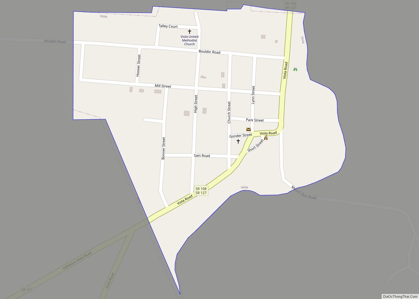
Online Interactive Map
Click on ![]() to view map in "full screen" mode.
to view map in "full screen" mode.
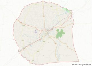
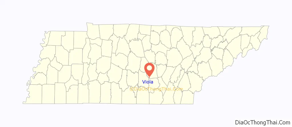
Viola location map. Where is Viola town?

History
Viola was founded in the late 1700s as the settlement of Blue Springs. It was home to one of the earliest churches in Tennessee of the Separate Baptists and several members of the denomination lived there. The settlement formerly named Blue Springs was named Viola with the opening of the first post office on August 23, 1858. The post office was named for Viola, the fictional character in Shakespeare’s play Twelfth Night.
Until closing in 1973 the Viola Mill produced the popular regional brand of flour “Viola’s Best.” This mill was later scrapped and the materials used to build a mill at The Farm.
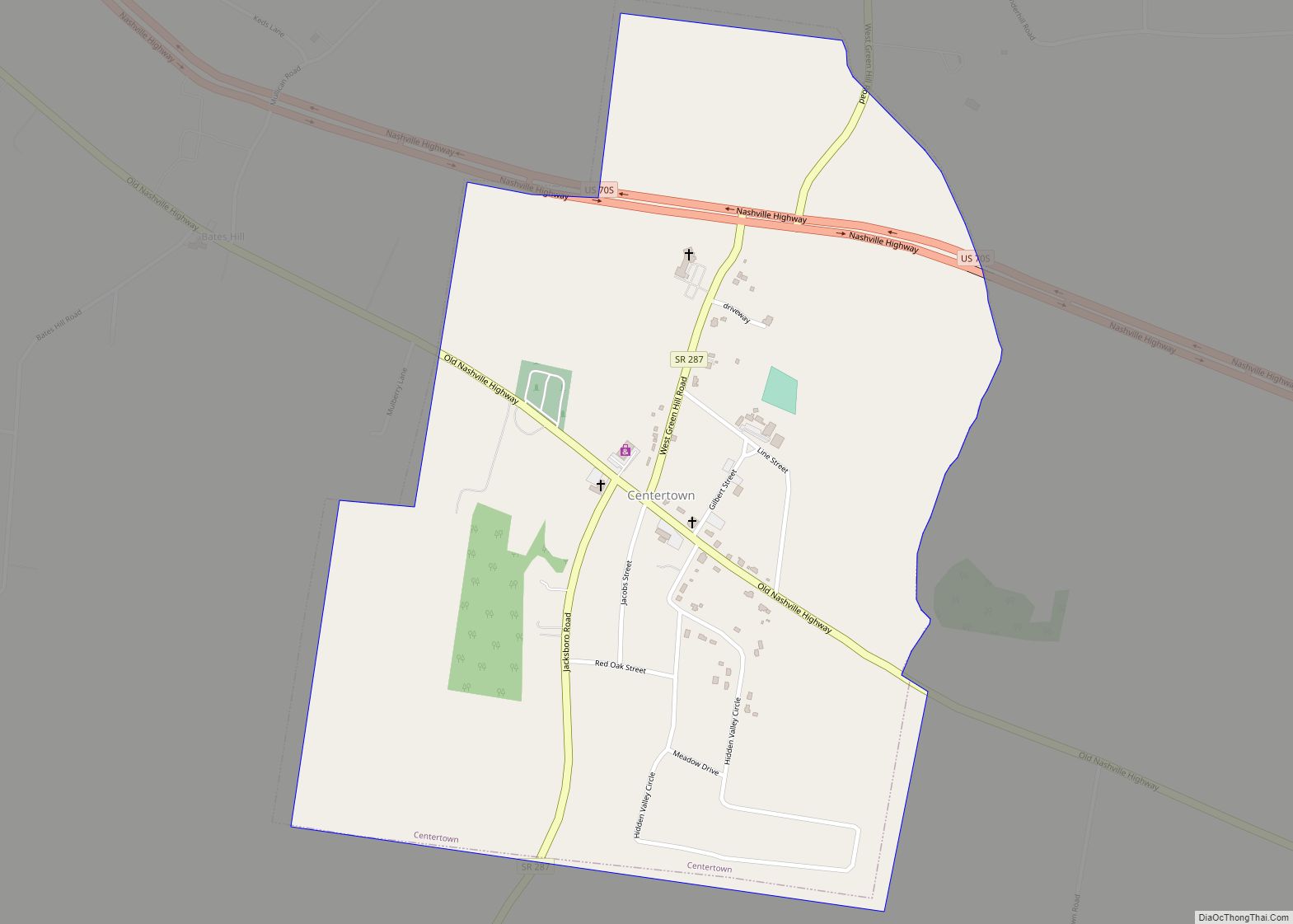
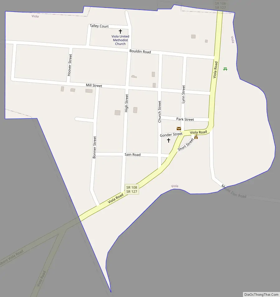
Viola Road Map
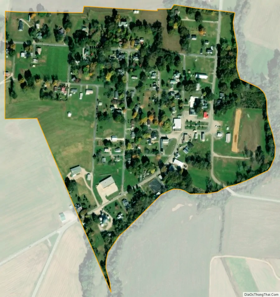
Viola city Satellite Map
Geography
Viola is located at 35°32′17″N 85°51′38″W / 35.53806°N 85.86056°W / 35.53806; -85.86056 (35.538085, -85.860606).
According to the United States Census Bureau, the town has a total area of 0.2 square miles (0.52 km), all of it land.
See also
Map of Tennessee State and its subdivision:- Anderson
- Bedford
- Benton
- Bledsoe
- Blount
- Bradley
- Campbell
- Cannon
- Carroll
- Carter
- Cheatham
- Chester
- Claiborne
- Clay
- Cocke
- Coffee
- Crockett
- Cumberland
- Davidson
- Decatur
- DeKalb
- Dickson
- Dyer
- Fayette
- Fentress
- Franklin
- Gibson
- Giles
- Grainger
- Greene
- Grundy
- Hamblen
- Hamilton
- Hancock
- Hardeman
- Hardin
- Hawkins
- Haywood
- Henderson
- Henry
- Hickman
- Houston
- Humphreys
- Jackson
- Jefferson
- Johnson
- Knox
- Lake
- Lauderdale
- Lawrence
- Lewis
- Lincoln
- Loudon
- Macon
- Madison
- Marion
- Marshall
- Maury
- McMinn
- McNairy
- Meigs
- Monroe
- Montgomery
- Moore
- Morgan
- Obion
- Overton
- Perry
- Pickett
- Polk
- Putnam
- Rhea
- Roane
- Robertson
- Rutherford
- Scott
- Sequatchie
- Sevier
- Shelby
- Smith
- Stewart
- Sullivan
- Sumner
- Tipton
- Trousdale
- Unicoi
- Union
- Van Buren
- Warren
- Washington
- Wayne
- Weakley
- White
- Williamson
- Wilson
- Alabama
- Alaska
- Arizona
- Arkansas
- California
- Colorado
- Connecticut
- Delaware
- District of Columbia
- Florida
- Georgia
- Hawaii
- Idaho
- Illinois
- Indiana
- Iowa
- Kansas
- Kentucky
- Louisiana
- Maine
- Maryland
- Massachusetts
- Michigan
- Minnesota
- Mississippi
- Missouri
- Montana
- Nebraska
- Nevada
- New Hampshire
- New Jersey
- New Mexico
- New York
- North Carolina
- North Dakota
- Ohio
- Oklahoma
- Oregon
- Pennsylvania
- Rhode Island
- South Carolina
- South Dakota
- Tennessee
- Texas
- Utah
- Vermont
- Virginia
- Washington
- West Virginia
- Wisconsin
- Wyoming