Westmoreland is a town in Sumner County, Tennessee, and is bordering southern Kentucky. The population was 2,093 at the 2000 census and 2,206 at the 2010 census. The town name was inspired by a wealthy lumberman from North Carolina, sharing the same name.
| Name: | Westmoreland town |
|---|---|
| LSAD Code: | 43 |
| LSAD Description: | town (suffix) |
| State: | Tennessee |
| County: | Sumner County |
| Incorporated: | 1901 |
| Elevation: | 925 ft (282 m) |
| Total Area: | 4.36 sq mi (11.29 km²) |
| Land Area: | 4.34 sq mi (11.24 km²) |
| Water Area: | 0.02 sq mi (0.05 km²) |
| Total Population: | 2,718 |
| Population Density: | 626.27/sq mi (241.78/km²) |
| ZIP code: | 37186 |
| Area code: | 615 |
| FIPS code: | 4779420 |
| GNISfeature ID: | 1304492 |
| Website: | westmorelandtn.gov |
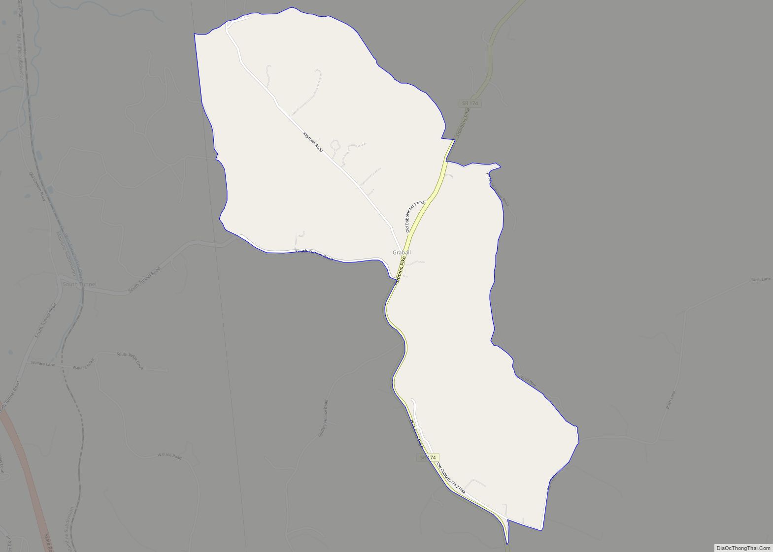
Online Interactive Map
Click on ![]() to view map in "full screen" mode.
to view map in "full screen" mode.
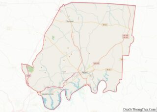
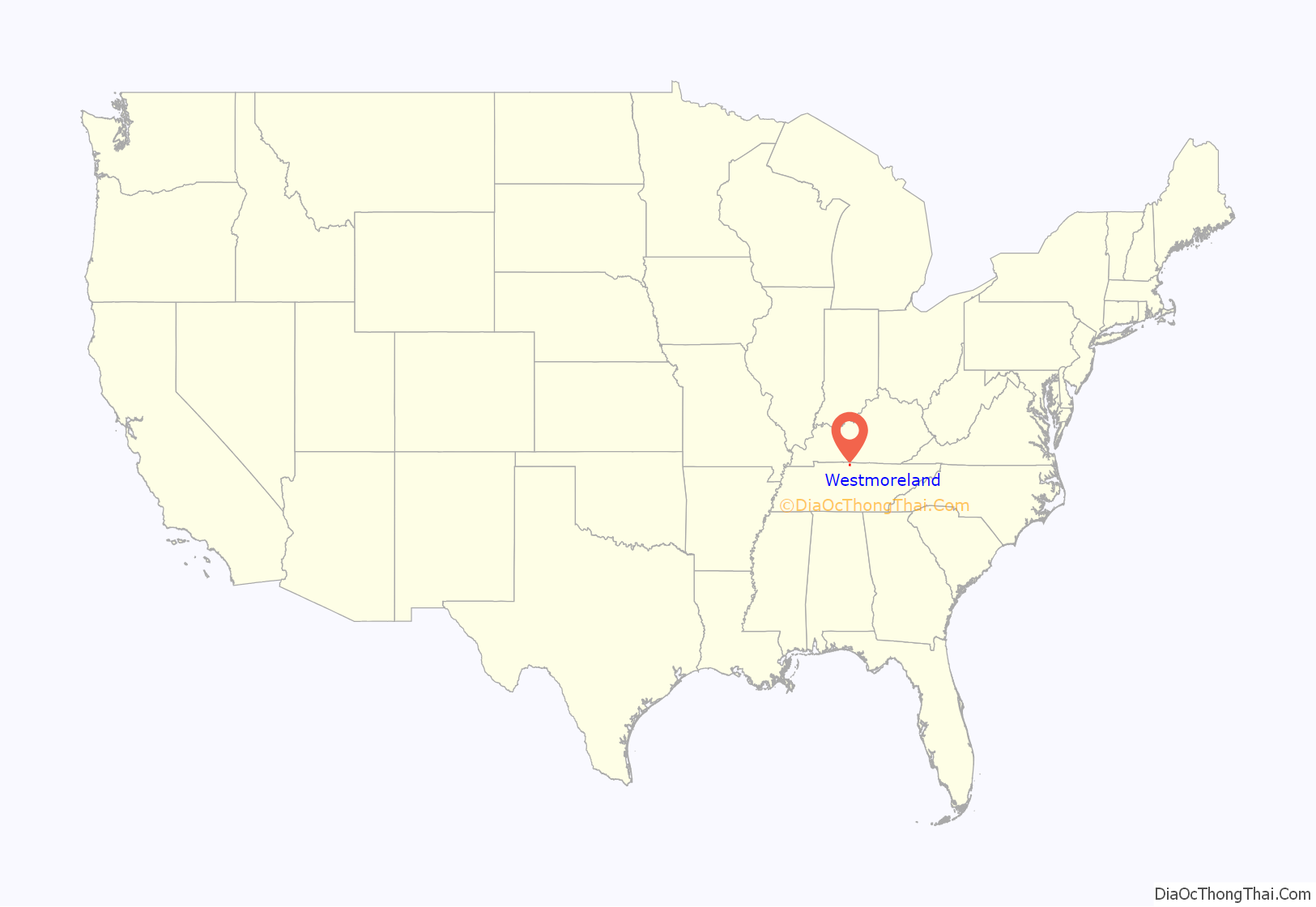
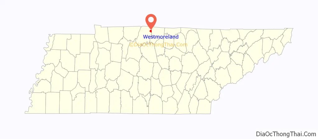
Westmoreland location map. Where is Westmoreland town?
History
Westmoreland has a few interesting things through its history. Including having been an old railroad town and containing one of the smallest railroad tunnels there is.
Originally created in 1901 by a state charter, the town was officially incorporated to the State of Tennessee in February of 1901. In the years that followed, it slowly grew to the albeit small population it had today.
In the early 2000’s, the Westmoreland Elementary school shut down, and relocated to a school closer to the Middle and High schools. The building today stands as Westmoreland Dream Center, and is a hub for can food drives and some boy scout activities.
The town has the smallest railroad tunnel in the world, smaller than the average American living room. It was built sometime during the early to mid 1900s and today is known as Little Tunnel. A mural in Town Square depicts the tunnel, along with a few other notable buildings and places.
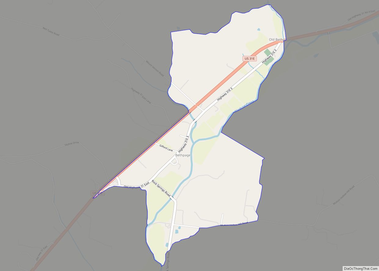
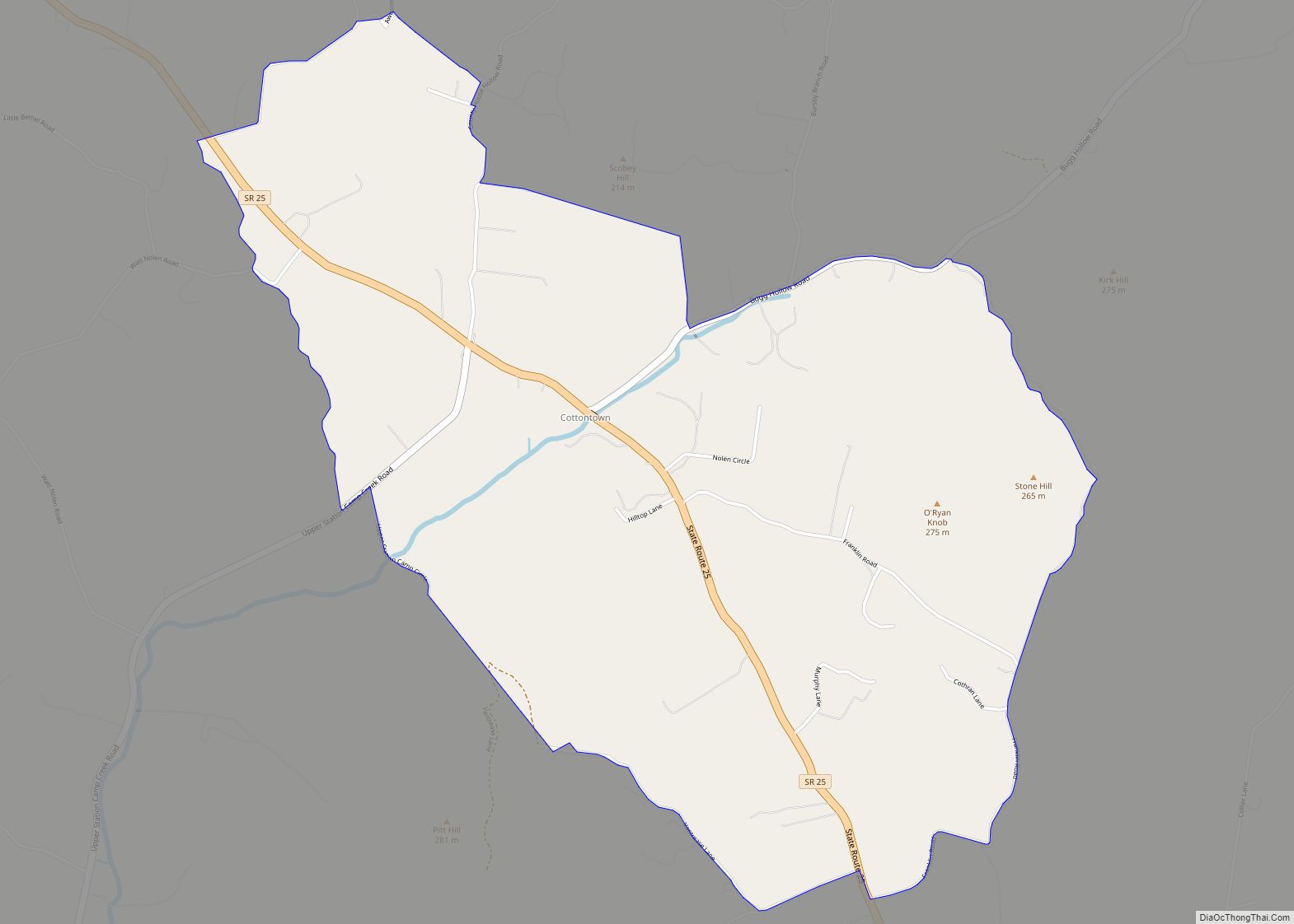
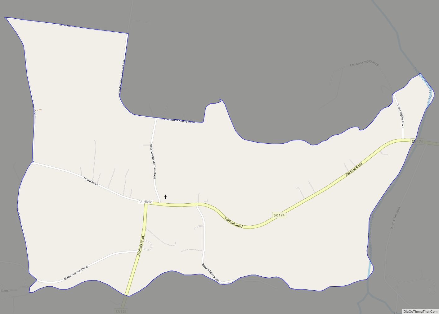
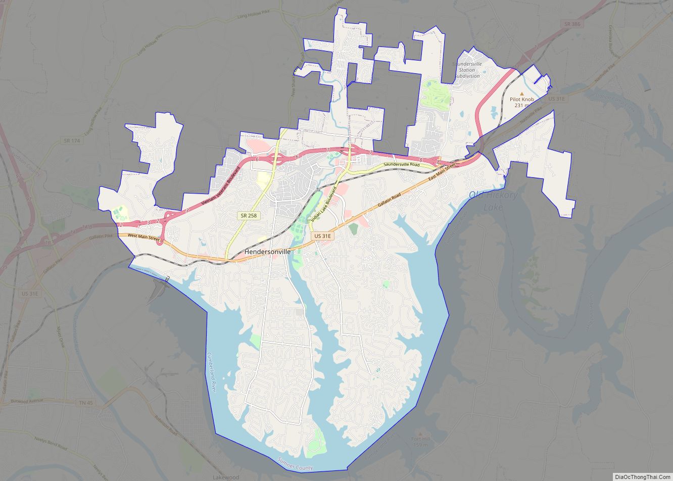
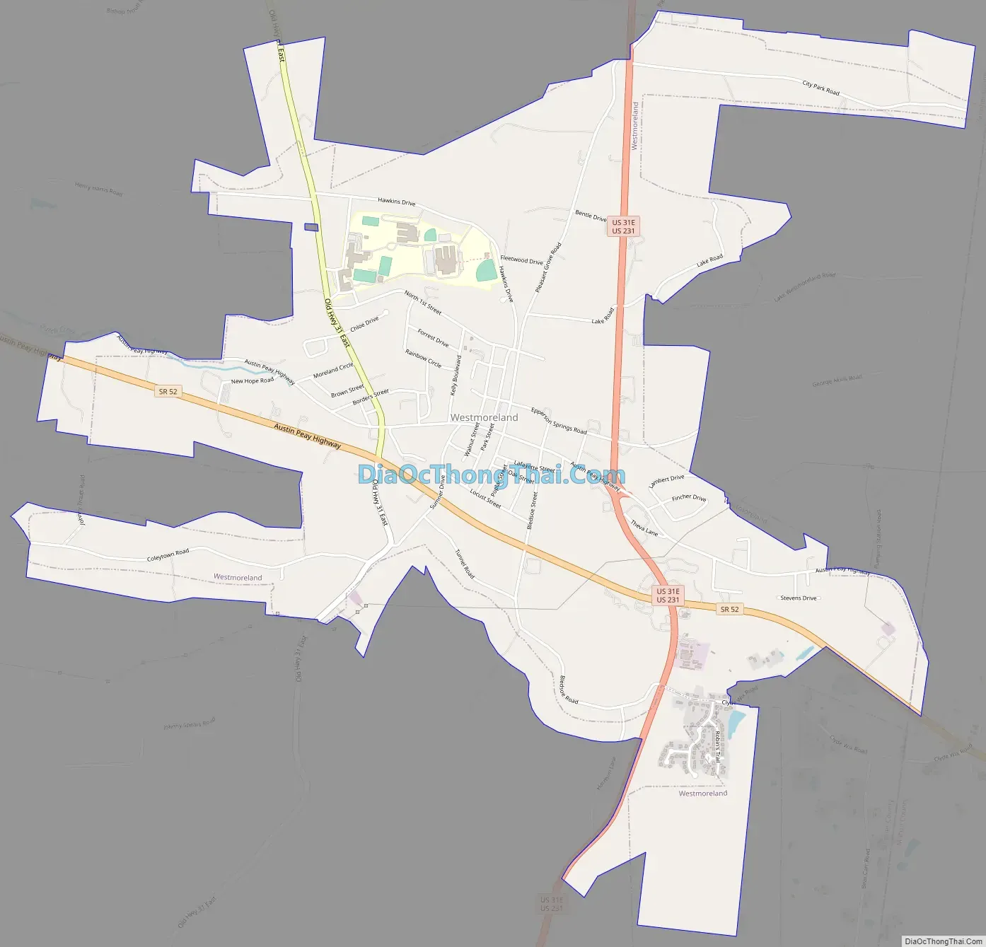
Westmoreland Road Map
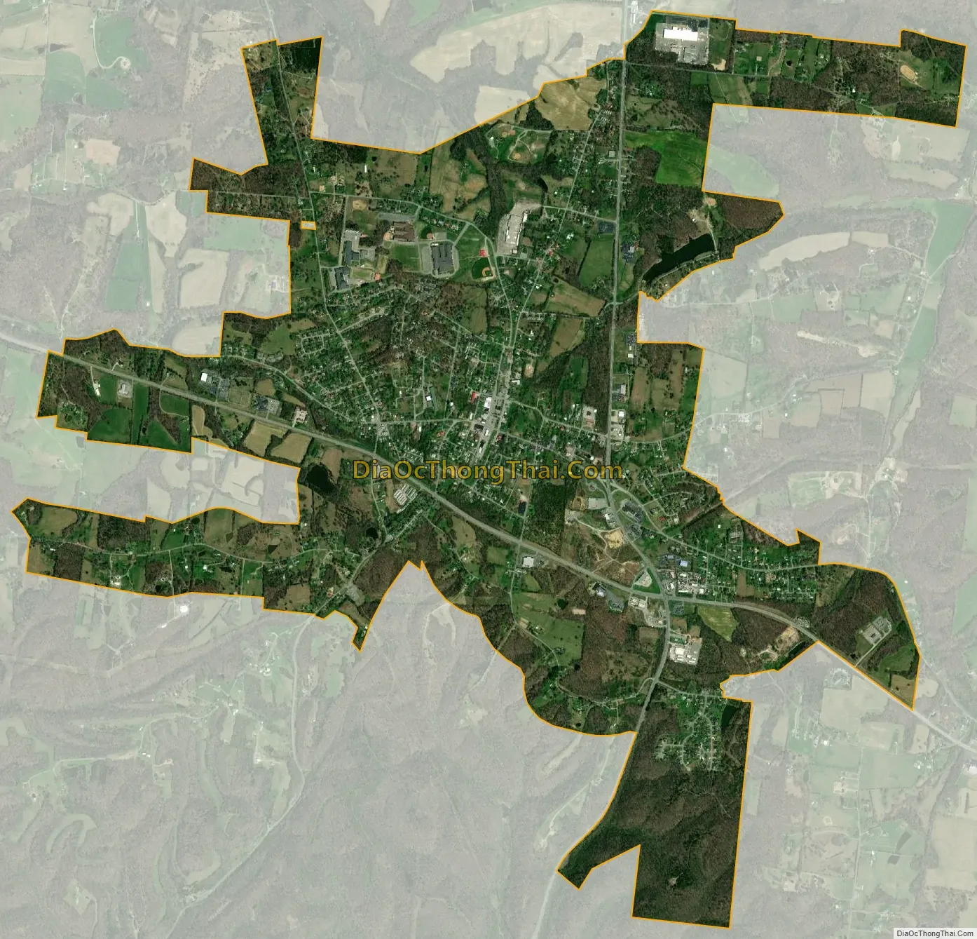
Westmoreland city Satellite Map
Geography
According to the United States Census Bureau, the town has a total area of 3.8 square miles (9.8 km), of which 3.8 square miles (9.8 km) is land and 0.04 square miles (0.10 km) (0.52%) is water.
See also
Map of Tennessee State and its subdivision:- Anderson
- Bedford
- Benton
- Bledsoe
- Blount
- Bradley
- Campbell
- Cannon
- Carroll
- Carter
- Cheatham
- Chester
- Claiborne
- Clay
- Cocke
- Coffee
- Crockett
- Cumberland
- Davidson
- Decatur
- DeKalb
- Dickson
- Dyer
- Fayette
- Fentress
- Franklin
- Gibson
- Giles
- Grainger
- Greene
- Grundy
- Hamblen
- Hamilton
- Hancock
- Hardeman
- Hardin
- Hawkins
- Haywood
- Henderson
- Henry
- Hickman
- Houston
- Humphreys
- Jackson
- Jefferson
- Johnson
- Knox
- Lake
- Lauderdale
- Lawrence
- Lewis
- Lincoln
- Loudon
- Macon
- Madison
- Marion
- Marshall
- Maury
- McMinn
- McNairy
- Meigs
- Monroe
- Montgomery
- Moore
- Morgan
- Obion
- Overton
- Perry
- Pickett
- Polk
- Putnam
- Rhea
- Roane
- Robertson
- Rutherford
- Scott
- Sequatchie
- Sevier
- Shelby
- Smith
- Stewart
- Sullivan
- Sumner
- Tipton
- Trousdale
- Unicoi
- Union
- Van Buren
- Warren
- Washington
- Wayne
- Weakley
- White
- Williamson
- Wilson
- Alabama
- Alaska
- Arizona
- Arkansas
- California
- Colorado
- Connecticut
- Delaware
- District of Columbia
- Florida
- Georgia
- Hawaii
- Idaho
- Illinois
- Indiana
- Iowa
- Kansas
- Kentucky
- Louisiana
- Maine
- Maryland
- Massachusetts
- Michigan
- Minnesota
- Mississippi
- Missouri
- Montana
- Nebraska
- Nevada
- New Hampshire
- New Jersey
- New Mexico
- New York
- North Carolina
- North Dakota
- Ohio
- Oklahoma
- Oregon
- Pennsylvania
- Rhode Island
- South Carolina
- South Dakota
- Tennessee
- Texas
- Utah
- Vermont
- Virginia
- Washington
- West Virginia
- Wisconsin
- Wyoming