Wildwood Lake is a census-designated place (CDP) in Bradley County, Tennessee, United States. The population was 3,286 at the 2020 Census. It is included in the Cleveland, Tennessee Metropolitan Statistical Area.
| Name: | Wildwood Lake CDP |
|---|---|
| LSAD Code: | 57 |
| LSAD Description: | CDP (suffix) |
| State: | Tennessee |
| County: | Bradley County |
| Elevation: | 833 ft (254 m) |
| Total Area: | 12.05 sq mi (31.22 km²) |
| Land Area: | 12.01 sq mi (31.10 km²) |
| Water Area: | 0.05 sq mi (0.12 km²) |
| Total Population: | 3,286 |
| Population Density: | 273.63/sq mi (105.65/km²) |
| ZIP code: | 37323 |
| Area code: | 423 |
| FIPS code: | 4780760 |
| GNISfeature ID: | 1867540 |
Online Interactive Map
Click on ![]() to view map in "full screen" mode.
to view map in "full screen" mode.
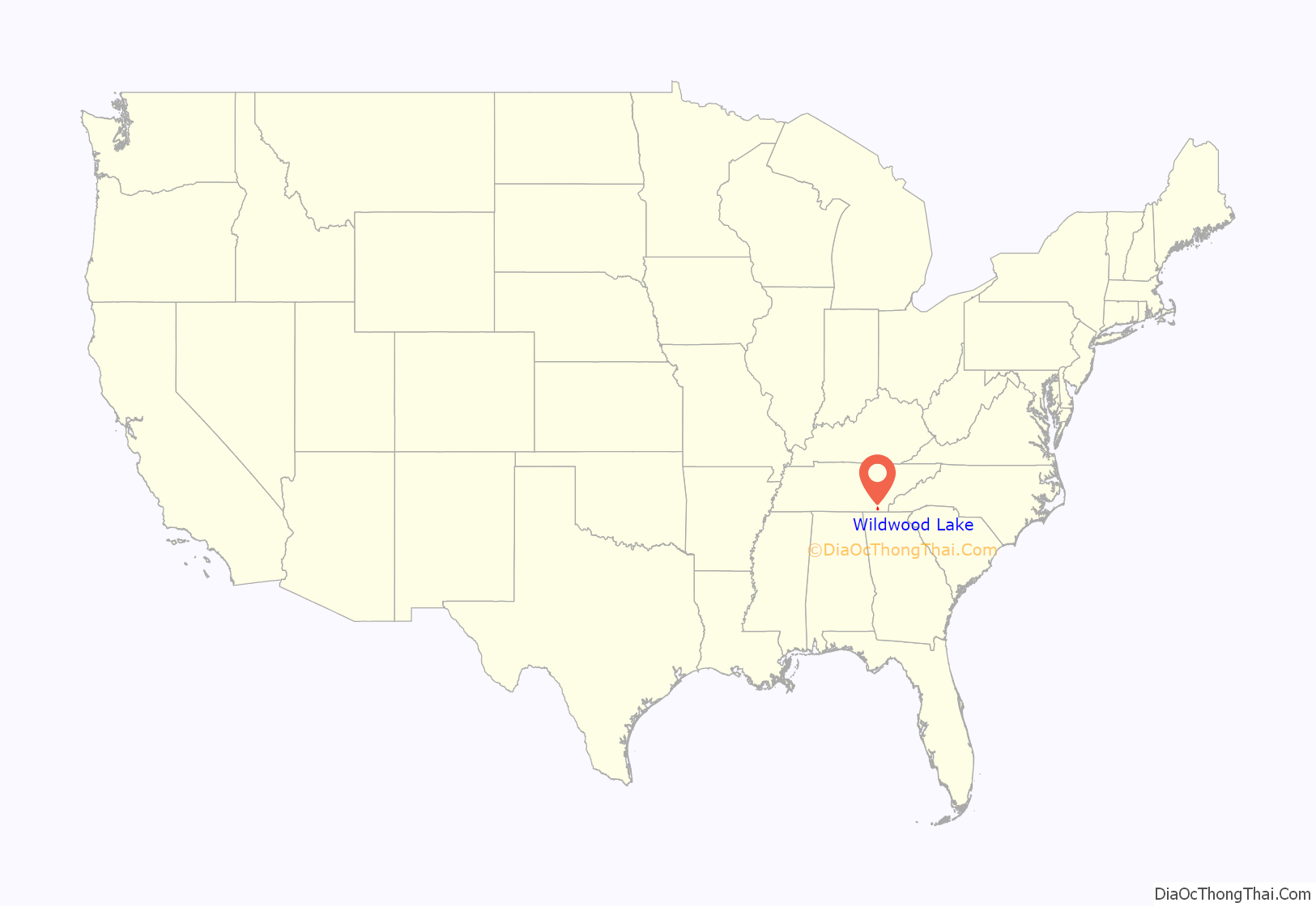
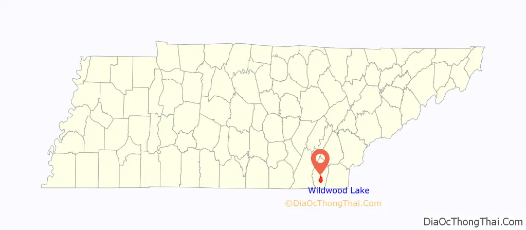
Wildwood Lake location map. Where is Wildwood Lake CDP?
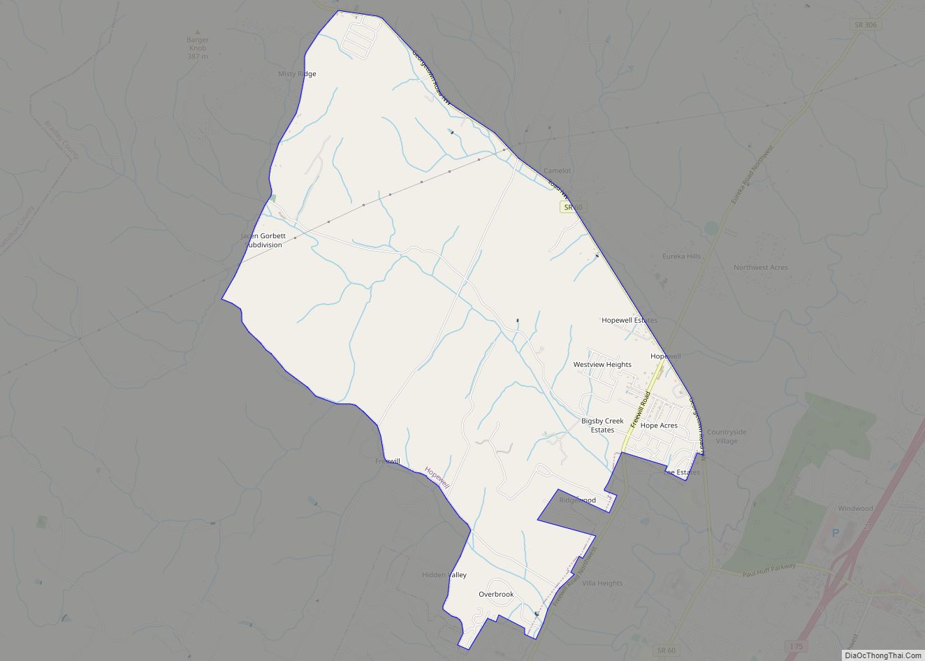
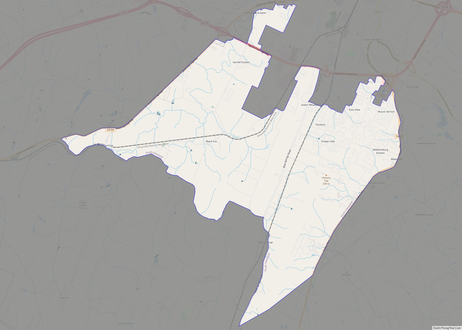
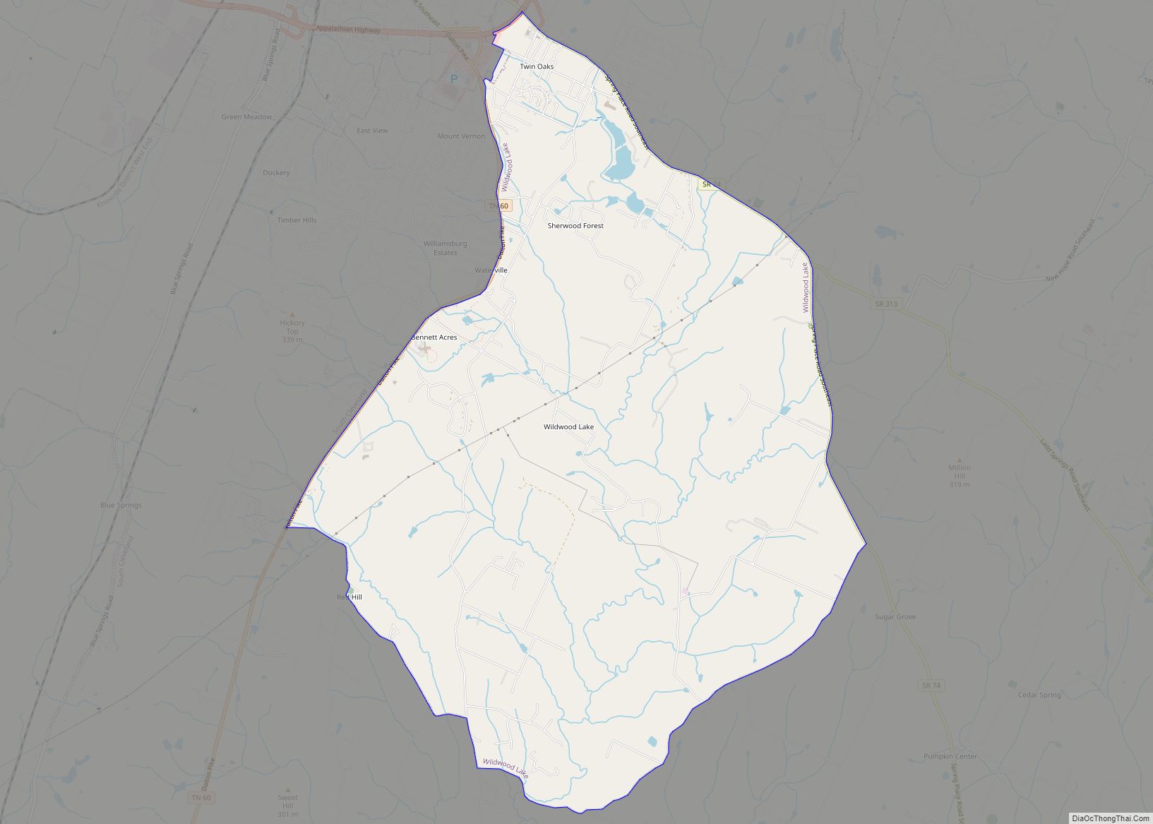
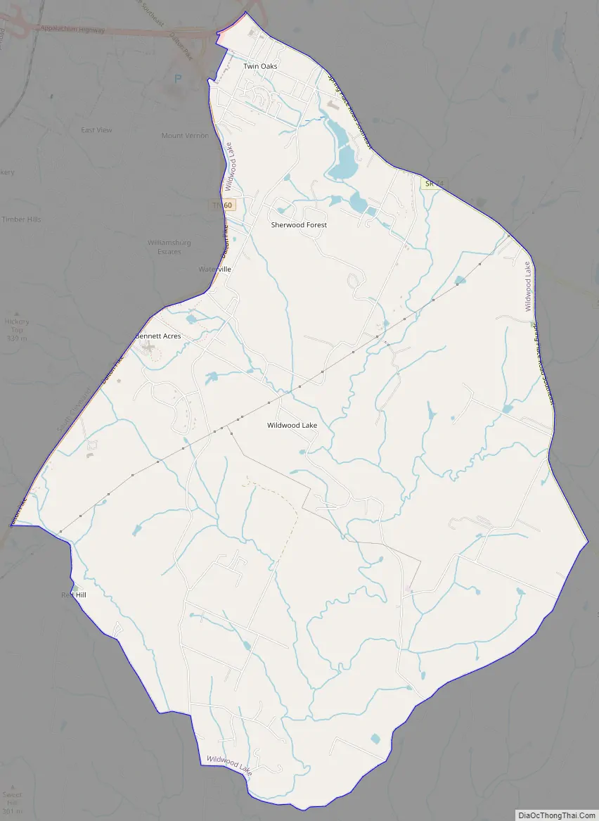
Wildwood Lake Road Map
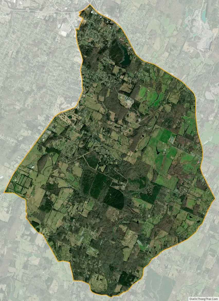
Wildwood Lake city Satellite Map
Geography
Wildwood Lake is located at 35°6′15″N 84°51′31″W / 35.10417°N 84.85861°W / 35.10417; -84.85861 (35.104121, -84.858645).
According to the United States Census Bureau, the CDP has a total area of 12.1 square miles (31 km), of which 12.0 square miles (31 km) is land and 0.046 square miles (0.12 km), or 0.38%, is water.
Wildwood Lake is situated approximately four miles southeast of downtown Cleveland. It is bordered by State Route 60 (Dalton Pike) on the west and State Route 74 (Spring Place Road) on the east. APD-40 and State Route 313 (Ladd Springs Road) are also major connectors to the community.
See also
Map of Tennessee State and its subdivision:- Anderson
- Bedford
- Benton
- Bledsoe
- Blount
- Bradley
- Campbell
- Cannon
- Carroll
- Carter
- Cheatham
- Chester
- Claiborne
- Clay
- Cocke
- Coffee
- Crockett
- Cumberland
- Davidson
- Decatur
- DeKalb
- Dickson
- Dyer
- Fayette
- Fentress
- Franklin
- Gibson
- Giles
- Grainger
- Greene
- Grundy
- Hamblen
- Hamilton
- Hancock
- Hardeman
- Hardin
- Hawkins
- Haywood
- Henderson
- Henry
- Hickman
- Houston
- Humphreys
- Jackson
- Jefferson
- Johnson
- Knox
- Lake
- Lauderdale
- Lawrence
- Lewis
- Lincoln
- Loudon
- Macon
- Madison
- Marion
- Marshall
- Maury
- McMinn
- McNairy
- Meigs
- Monroe
- Montgomery
- Moore
- Morgan
- Obion
- Overton
- Perry
- Pickett
- Polk
- Putnam
- Rhea
- Roane
- Robertson
- Rutherford
- Scott
- Sequatchie
- Sevier
- Shelby
- Smith
- Stewart
- Sullivan
- Sumner
- Tipton
- Trousdale
- Unicoi
- Union
- Van Buren
- Warren
- Washington
- Wayne
- Weakley
- White
- Williamson
- Wilson
- Alabama
- Alaska
- Arizona
- Arkansas
- California
- Colorado
- Connecticut
- Delaware
- District of Columbia
- Florida
- Georgia
- Hawaii
- Idaho
- Illinois
- Indiana
- Iowa
- Kansas
- Kentucky
- Louisiana
- Maine
- Maryland
- Massachusetts
- Michigan
- Minnesota
- Mississippi
- Missouri
- Montana
- Nebraska
- Nevada
- New Hampshire
- New Jersey
- New Mexico
- New York
- North Carolina
- North Dakota
- Ohio
- Oklahoma
- Oregon
- Pennsylvania
- Rhode Island
- South Carolina
- South Dakota
- Tennessee
- Texas
- Utah
- Vermont
- Virginia
- Washington
- West Virginia
- Wisconsin
- Wyoming