North Fair Oaks is a census-designated place and an unincorporated area located in San Mateo County, California adjacent to Redwood City, Atherton, and Menlo Park. As of the 2020 census the area had a total population of 14,027. Because of the large number of residents from one Mexican state the area is also known as Little Michoacán. The larger area including North Fair Oaks and adjacent parts of Redwood City has a large Latino population and is known locally as Little Mexico. The neighborhood is distinctive, as it is one out of only three communities (the others being East Palo Alto and Pescadero) in San Mateo County that have a majority Hispanic population.
| Name: | North Fair Oaks CDP |
|---|---|
| LSAD Code: | 57 |
| LSAD Description: | CDP (suffix) |
| State: | California |
| County: | San Mateo County |
| Elevation: | 26 ft (8 m) |
| Total Area: | 1.200 sq mi (3.109 km²) |
| Land Area: | 1.200 sq mi (3.109 km²) |
| Water Area: | 0 sq mi (0 km²) 0% |
| Total Population: | 14,027 |
| Population Density: | 12,000/sq mi (4,500/km²) |
| ZIP code: | 94025 |
| Area code: | 650 |
| FIPS code: | 0651840 |
| GNISfeature ID: | 1786241 |
Online Interactive Map
Click on ![]() to view map in "full screen" mode.
to view map in "full screen" mode.
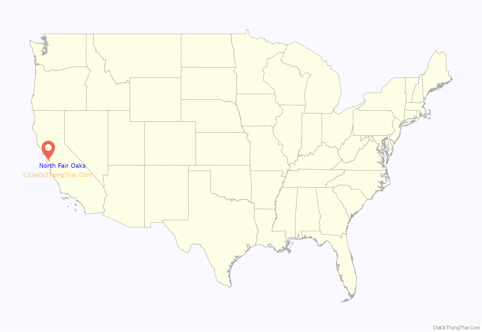
North Fair Oaks location map. Where is North Fair Oaks CDP?

History
Fair Oaks was a residential area north of Menlo Park. In 1923, Menlo Park attempted to incorporate Fair Oaks first, but instead, Fair Oaks incorporated separately as the town of Atherton (see Atherton for details and history). This left North Fair Oaks unincorporated.
One of the two Hetch Hetchy Aqueduct utility corridors on the San Francisco Peninsula was installed through the area at an angle diagonal to the existing street grid.
North Fair Oaks Road Map

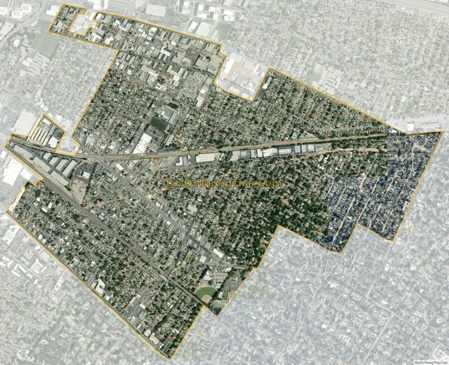
North Fair Oaks city Satellite Map
Geography
North Fair Oaks is located at 37°28′31″N 122°12′13″W / 37.47528°N 122.20361°W / 37.47528; -122.20361 (37.475170, -122.203506).
According to the United States Census Bureau, the area has a total area of 1.2 square miles (3.1 km), all of it land.
Proximity to mountains by the Pacific coast and the San Francisco Bay creates a microclimate that makes the area frequently sunny and warm with temperatures moderated by ocean and bay breezes. Similar conditions are found on the Canary Islands and the Mediterranean Coast of North Africa. This local microclimate is centered on nearby Redwood City which claims the slogan “climate best by government test”.
See also
Map of California State and its subdivision:- Alameda
- Alpine
- Amador
- Butte
- Calaveras
- Colusa
- Contra Costa
- Del Norte
- El Dorado
- Fresno
- Glenn
- Humboldt
- Imperial
- Inyo
- Kern
- Kings
- Lake
- Lassen
- Los Angeles
- Madera
- Marin
- Mariposa
- Mendocino
- Merced
- Modoc
- Mono
- Monterey
- Napa
- Nevada
- Orange
- Placer
- Plumas
- Riverside
- Sacramento
- San Benito
- San Bernardino
- San Diego
- San Francisco
- San Joaquin
- San Luis Obispo
- San Mateo
- Santa Barbara
- Santa Clara
- Santa Cruz
- Shasta
- Sierra
- Siskiyou
- Solano
- Sonoma
- Stanislaus
- Sutter
- Tehama
- Trinity
- Tulare
- Tuolumne
- Ventura
- Yolo
- Yuba
- Alabama
- Alaska
- Arizona
- Arkansas
- California
- Colorado
- Connecticut
- Delaware
- District of Columbia
- Florida
- Georgia
- Hawaii
- Idaho
- Illinois
- Indiana
- Iowa
- Kansas
- Kentucky
- Louisiana
- Maine
- Maryland
- Massachusetts
- Michigan
- Minnesota
- Mississippi
- Missouri
- Montana
- Nebraska
- Nevada
- New Hampshire
- New Jersey
- New Mexico
- New York
- North Carolina
- North Dakota
- Ohio
- Oklahoma
- Oregon
- Pennsylvania
- Rhode Island
- South Carolina
- South Dakota
- Tennessee
- Texas
- Utah
- Vermont
- Virginia
- Washington
- West Virginia
- Wisconsin
- Wyoming


