Durant is a city in Cedar, Muscatine, and Scott counties in the U.S. state of Iowa. The population was 1,871 at the time of the 2020 census.
The Scott County portion of Durant is part of the Davenport–Moline–Rock Island, IA-IL Metropolitan Statistical Area, while the Muscatine County portion of the city is part of the Muscatine Micropolitan Statistical Area.
| Name: | Durant city |
|---|---|
| LSAD Code: | 25 |
| LSAD Description: | city (suffix) |
| State: | Iowa |
| County: | Cedar County, Muscatine County, Scott County |
| Founded: | 1854 |
| Elevation: | 712 ft (217 m) |
| Land Area: | 1.23 sq mi (3.20 km²) |
| Water Area: | 0.00 sq mi (0.00 km²) |
| Population Density: | 1,516.21/sq mi (585.48/km²) |
| ZIP code: | 52747 |
| Area code: | 563 |
| FIPS code: | 1922980 |
| GNISfeature ID: | 2394581 |
| Website: | cityofdurantiowa.com |
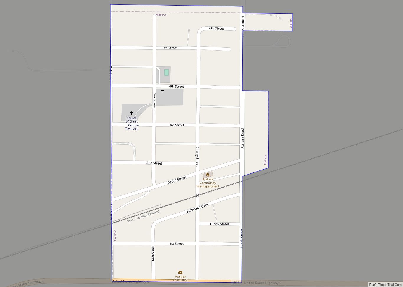
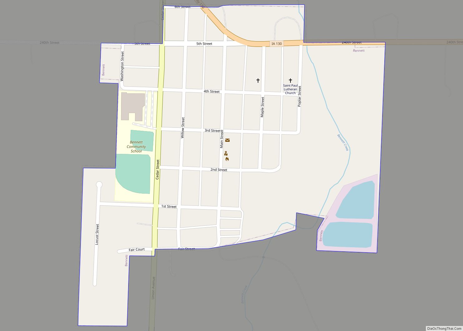
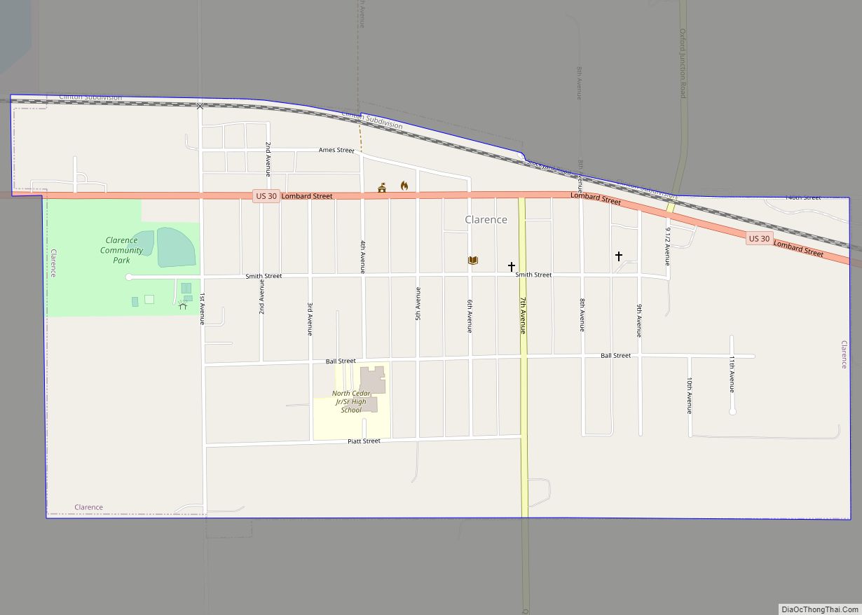
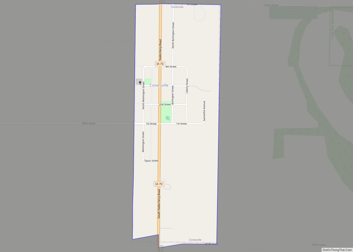
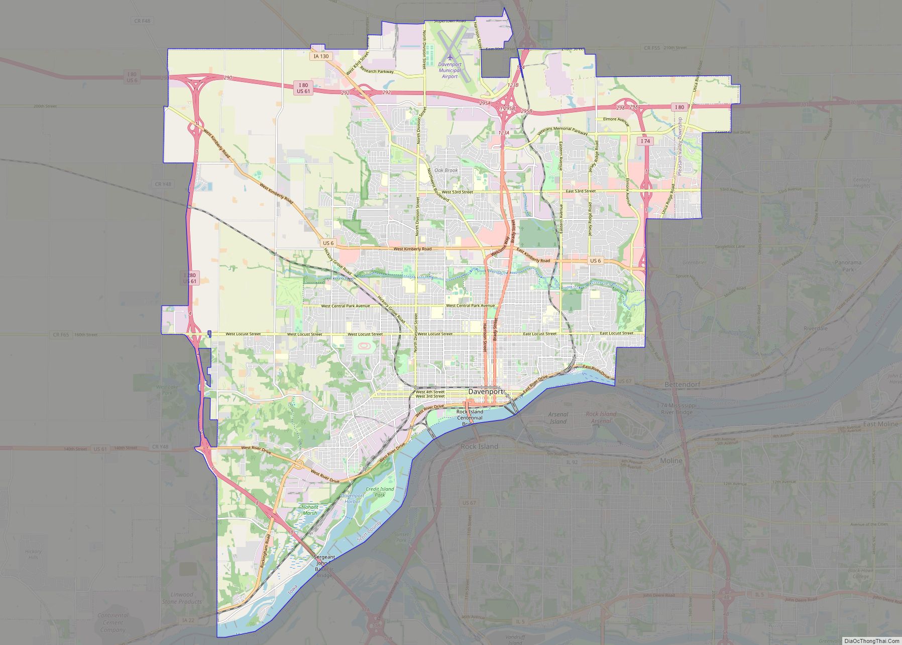
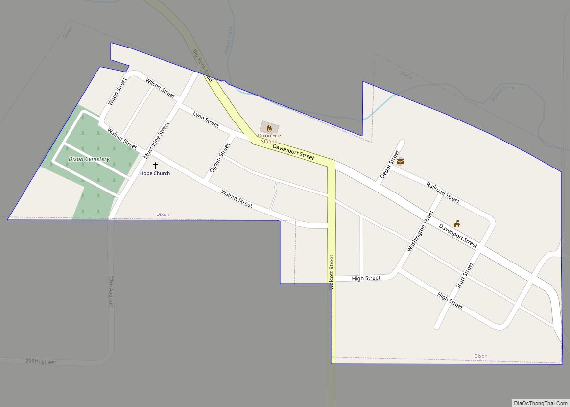
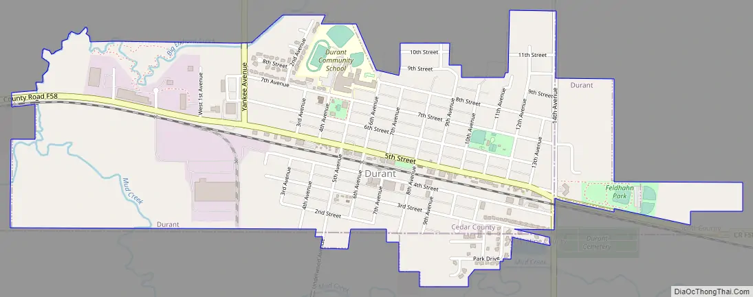
Online Interactive Map
Click on ![]() to view map in "full screen" mode.
to view map in "full screen" mode.
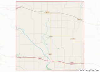
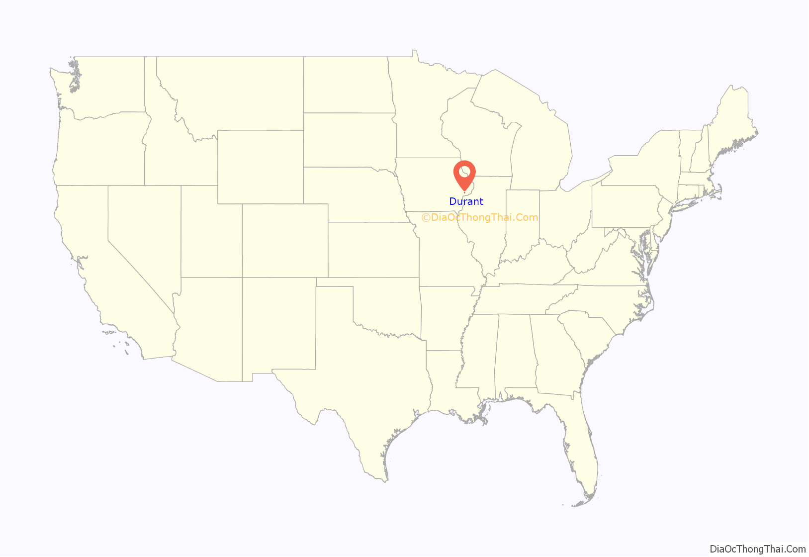
Durant location map. Where is Durant city?
History
Durant was platted in 1854 by Benjamin Brayton. The Chicago, Rock Island and Pacific Railroad was built through Durant in 1855. The settlement was first named Brayton for its founder, but the name was later changed to Durant for Thomas C. Durant, one of the pioneers of the Transcontinental Railroad and an individual who contributed the bulk of funds needed to build the town’s first public school.
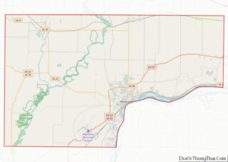
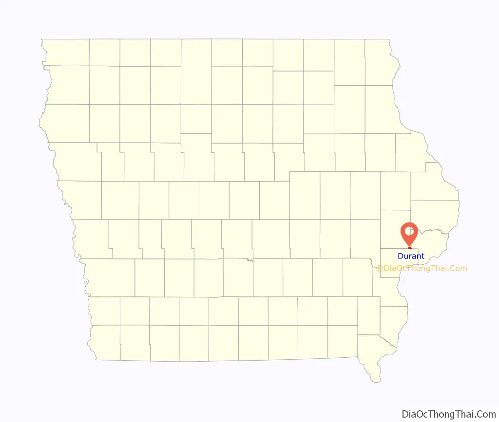
Durant Road Map
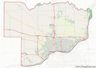
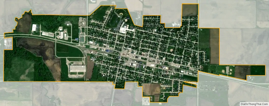
Durant city Satellite Map
Geography
Durant is located at 41°36′4″N 90°54′50″W / 41.60111°N 90.91389°W / 41.60111; -90.91389 (41.6011435, -90.9138461). According to the United States Census Bureau, the city has a total area of 1.15 square miles (2.98 km), all land.
See also
Map of Iowa State and its subdivision:- Adair
- Adams
- Allamakee
- Appanoose
- Audubon
- Benton
- Black Hawk
- Boone
- Bremer
- Buchanan
- Buena Vista
- Butler
- Calhoun
- Carroll
- Cass
- Cedar
- Cerro Gordo
- Cherokee
- Chickasaw
- Clarke
- Clay
- Clayton
- Clinton
- Crawford
- Dallas
- Davis
- Decatur
- Delaware
- Des Moines
- Dickinson
- Dubuque
- Emmet
- Fayette
- Floyd
- Franklin
- Fremont
- Greene
- Grundy
- Guthrie
- Hamilton
- Hancock
- Hardin
- Harrison
- Henry
- Howard
- Humboldt
- Ida
- Iowa
- Jackson
- Jasper
- Jefferson
- Johnson
- Jones
- Keokuk
- Kossuth
- Lee
- Linn
- Louisa
- Lucas
- Lyon
- Madison
- Mahaska
- Marion
- Marshall
- Mills
- Mitchell
- Monona
- Monroe
- Montgomery
- Muscatine
- O'Brien
- Osceola
- Page
- Palo Alto
- Plymouth
- Pocahontas
- Polk
- Pottawattamie
- Poweshiek
- Ringgold
- Sac
- Scott
- Shelby
- Sioux
- Story
- Tama
- Taylor
- Union
- Van Buren
- Wapello
- Warren
- Washington
- Wayne
- Webster
- Winnebago
- Winneshiek
- Woodbury
- Worth
- Wright
- Alabama
- Alaska
- Arizona
- Arkansas
- California
- Colorado
- Connecticut
- Delaware
- District of Columbia
- Florida
- Georgia
- Hawaii
- Idaho
- Illinois
- Indiana
- Iowa
- Kansas
- Kentucky
- Louisiana
- Maine
- Maryland
- Massachusetts
- Michigan
- Minnesota
- Mississippi
- Missouri
- Montana
- Nebraska
- Nevada
- New Hampshire
- New Jersey
- New Mexico
- New York
- North Carolina
- North Dakota
- Ohio
- Oklahoma
- Oregon
- Pennsylvania
- Rhode Island
- South Carolina
- South Dakota
- Tennessee
- Texas
- Utah
- Vermont
- Virginia
- Washington
- West Virginia
- Wisconsin
- Wyoming