Walcott (/ˈwɔlkɔt/ WAWL-cawt, sometimes locally [ˈwɔlkət]) is a city in Muscatine and Scott counties in the U.S. state of Iowa. The population was 1,551 at the time of the 2020 census. Walcott’s interchange on Interstate 80 is home to an enormous complex of restaurants, motels and truck stops, including the Iowa 80 truck stop, which is the world’s largest.
Most of Walcott is part of the Davenport–Moline–Rock Island, IA-IL Metropolitan Statistical Area, but the Muscatine County portion of the city is considered part of the Muscatine Micropolitan Statistical Area.
| Name: | Walcott city |
|---|---|
| LSAD Code: | 25 |
| LSAD Description: | city (suffix) |
| State: | Iowa |
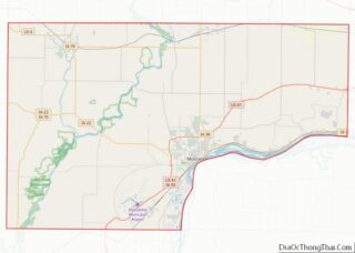
| County: | Muscatine County, Scott County |
| Elevation: | 732 ft (223 m) |
| Land Area: | 3.11 sq mi (8.06 km²) |
| Water Area: | 0.02 sq mi (0.06 km²) |
| Population Density: | 498.55/sq mi (192.47/km²) |
| ZIP code: | 52773 |
| Area code: | 563 |
| FIPS code: | 1981705 |
| GNISfeature ID: | 0462603 |
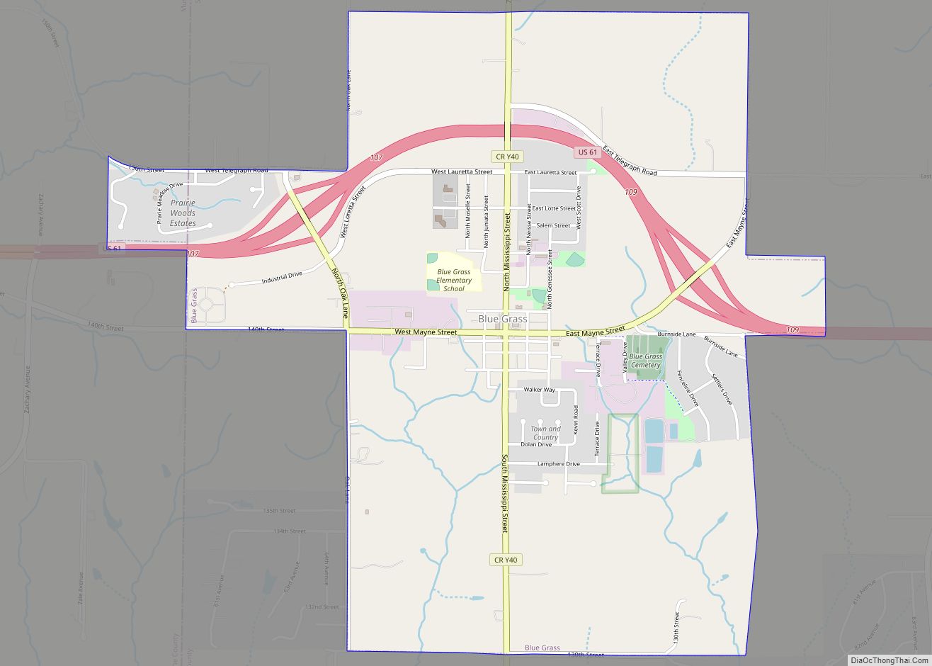
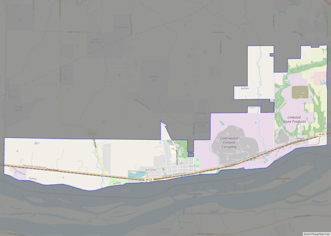
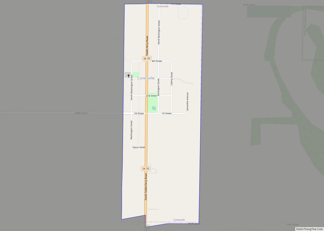
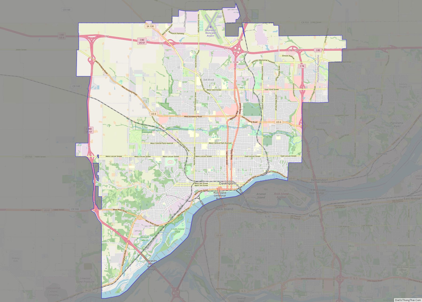
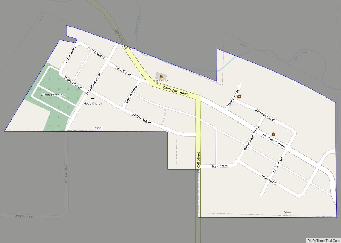
Online Interactive Map
Click on ![]() to view map in "full screen" mode.
to view map in "full screen" mode.
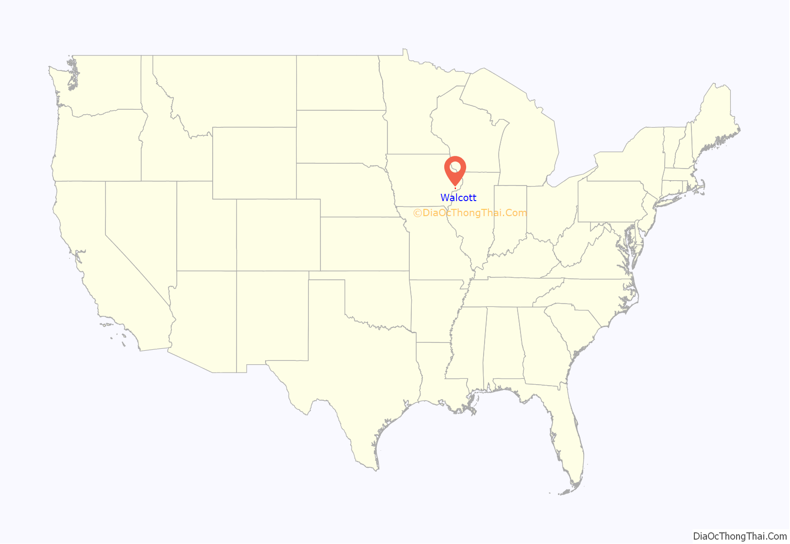
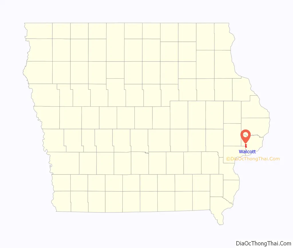
Walcott location map. Where is Walcott city?
History
Walcott was incorporated on July 10, 1894.
The City of Walcott was originally platted in 1854. The first passenger train route west of the Mississippi River began service in 1855 and helped Walcott grow. William Walcott, who was a director of Chicago and Rock Island Railroad, donated $500 in 1855 for the construction of a school building, with the stipulation that the fledgling town along the railroad tracks near Davenport be named after him.
Long before Walcott was even a vision to William Walcott, it was a great expanse of open prairie inhabited by the Kaskaskia Indians. The Kaskaskias were later driven out of the Quad Cities area by the renegade Mesquaki tribe. This tribe, a splinter of the Canadian Iroquois, was America’s largest Indian nation.
In 1857, much of the Walcott land was sold for as low as 75 cents an acre, enabling many German and Scotch-Irish immigrants to settle in the area. Many of the Scotch-Irish worked for the railroad builders and settled on the farmland south and west of the town. While they contributed much to the early development of Walcott, circa 1871 they began to move farther west. Most of the German settlers were from Schleswig-Holstein in northern Germany, and some came from eastern and southern Germany. By 1910, nearly 90 percent of the farmland in Scott County was owned by German immigrants or their descendants.
A petition for incorporation was signed and presented to Judge C.M. Waterman of the District Court at Davenport on June 5, 1894. At that time, the total population was 354. The election was held on July 7, 1894, and of the 81 votes cast, 54 were in favor of the incorporation. The result of the election was approved and filed by the District Court on July 14, 1894.
Long before most small towns thought of supplying their citizens with water, Walcott had plans for an efficient and adequate water system. Walcott was the first rural Scott County community to build a water system and water tower. The installation was completed in 1897, and provided the citizens of Walcott with inexpensive water service, good drinking water, and improved fire protection. In 1914, the first sewage disposal system was built. Lagoons for the sanitation system were installed in the late 1960s and three cells were added to the lagoon system in 1975.
As early as 1897, the people of Walcott banded together to provide an organized way of fighting the terror and destructiveness of fire. In those early days, the department consisted of a small number of volunteer firemen and two hand-pulled hose carts. In 1931, the town built a fire station and city hall. Today, that same building houses the Fire Department and City Hall.
The Walcott Savings Bank was organized in 1894 with a capital stock of $30,000. On April 1, 1904, the Farmers Savings Bank began business with at capital stock of $25,000. In 1911, Walcott was declared the richest town in the US in consideration of the bank deposits for its population of 300, according to Dunn & Co. in the Bankers’ Journal of New York. During the depression year of 1931, the two banks were consolidated and Walcott Trust and Savings Bank was formed.
The original town was expanded in 1962 to include Highway 6. Additional ground was annexed in 1973 to include the Interstate 80 interchange area and the French and Hecht Building, which currently houses FirstCo Inc. In the early 1990s, quadrants adjacent to and near the Interstate 80 interchanged were also annexed in. The annexation of the area near Interstate 80 has increased the area’s valuation significantly. Many businesses, including the world’s largest truck stop, Iowa 80 Truck Stop, are located within the city limits.
In 1997, Walcott joined in a sister city partnership with Bredenbek, Germany.
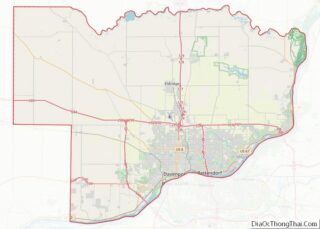
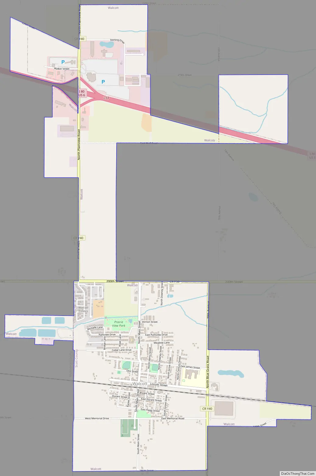
Walcott Road Map
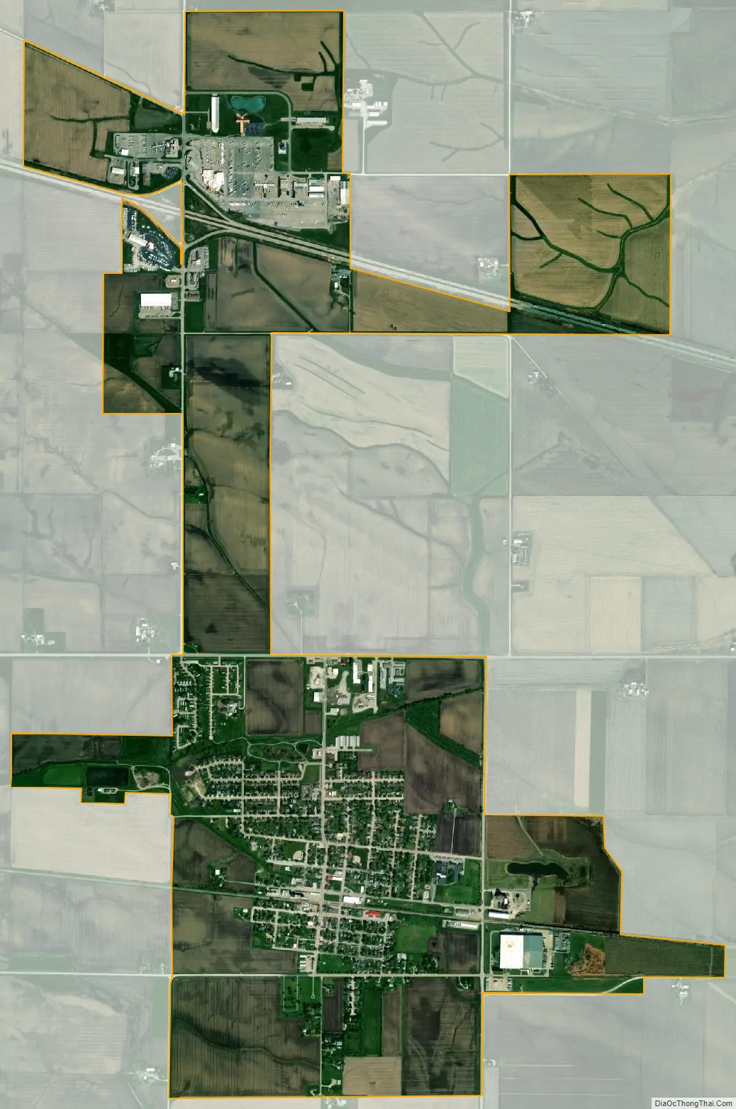
Walcott city Satellite Map
Geography
Walcott is located at 41°35′25″N 90°46′23″W / 41.59028°N 90.77306°W / 41.59028; -90.77306 (41.590363, -90.772991).
According to the United States Census Bureau, the city has a total area of 3.49 square miles (9.04 km), of which 3.47 square miles (8.99 km) is land and 0.02 square miles (0.05 km) is water.
See also
Map of Iowa State and its subdivision:- Adair
- Adams
- Allamakee
- Appanoose
- Audubon
- Benton
- Black Hawk
- Boone
- Bremer
- Buchanan
- Buena Vista
- Butler
- Calhoun
- Carroll
- Cass
- Cedar
- Cerro Gordo
- Cherokee
- Chickasaw
- Clarke
- Clay
- Clayton
- Clinton
- Crawford
- Dallas
- Davis
- Decatur
- Delaware
- Des Moines
- Dickinson
- Dubuque
- Emmet
- Fayette
- Floyd
- Franklin
- Fremont
- Greene
- Grundy
- Guthrie
- Hamilton
- Hancock
- Hardin
- Harrison
- Henry
- Howard
- Humboldt
- Ida
- Iowa
- Jackson
- Jasper
- Jefferson
- Johnson
- Jones
- Keokuk
- Kossuth
- Lee
- Linn
- Louisa
- Lucas
- Lyon
- Madison
- Mahaska
- Marion
- Marshall
- Mills
- Mitchell
- Monona
- Monroe
- Montgomery
- Muscatine
- O'Brien
- Osceola
- Page
- Palo Alto
- Plymouth
- Pocahontas
- Polk
- Pottawattamie
- Poweshiek
- Ringgold
- Sac
- Scott
- Shelby
- Sioux
- Story
- Tama
- Taylor
- Union
- Van Buren
- Wapello
- Warren
- Washington
- Wayne
- Webster
- Winnebago
- Winneshiek
- Woodbury
- Worth
- Wright
- Alabama
- Alaska
- Arizona
- Arkansas
- California
- Colorado
- Connecticut
- Delaware
- District of Columbia
- Florida
- Georgia
- Hawaii
- Idaho
- Illinois
- Indiana
- Iowa
- Kansas
- Kentucky
- Louisiana
- Maine
- Maryland
- Massachusetts
- Michigan
- Minnesota
- Mississippi
- Missouri
- Montana
- Nebraska
- Nevada
- New Hampshire
- New Jersey
- New Mexico
- New York
- North Carolina
- North Dakota
- Ohio
- Oklahoma
- Oregon
- Pennsylvania
- Rhode Island
- South Carolina
- South Dakota
- Tennessee
- Texas
- Utah
- Vermont
- Virginia
- Washington
- West Virginia
- Wisconsin
- Wyoming