Auburn is a city in Sangamon County, Illinois, United States. The population was 4,771 at the 2010 census, and 4,681 in 2018. It is part of the Springfield, Illinois Metropolitan Statistical Area.
| Name: | Auburn city |
|---|---|
| LSAD Code: | 25 |
| LSAD Description: | city (suffix) |
| State: | Illinois |
| County: | Sangamon County |
| Elevation: | 610 ft (190 m) |
| Total Area: | 4.12 sq mi (10.68 km²) |
| Land Area: | 4.12 sq mi (10.68 km²) |
| Water Area: | 0.00 sq mi (0.00 km²) |
| Total Population: | 4,574 |
| Population Density: | 1,109.12/sq mi (428.25/km²) |
| Area code: | 217 |
| FIPS code: | 1702921 |
| GNISfeature ID: | 2394023 |
| Website: | http://www.auburnillinois.us/ |
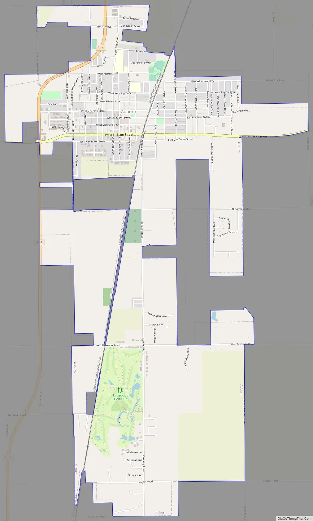
Online Interactive Map
Click on ![]() to view map in "full screen" mode.
to view map in "full screen" mode.
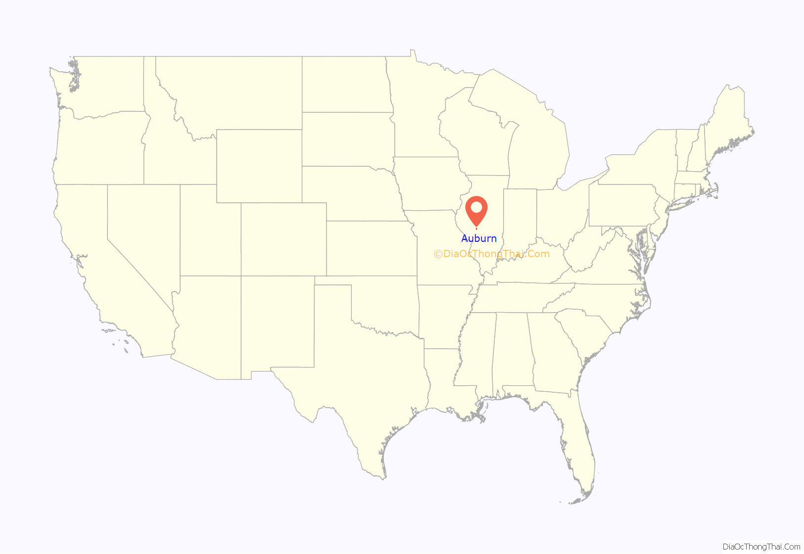
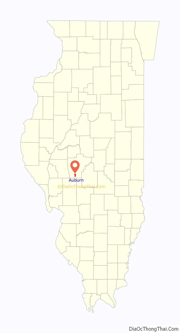
Auburn location map. Where is Auburn city?
History
Auburn was originally platted in 1836, a mile north of its present location. It was one of several towns named Auburn that were platted in Illinois during the town lot boom of the 1830s. George and Asa Eastman, who had purchased a large amount of land in the area, platted the town. Their sister Hannah named it for Auburn, Maine, near their family home.
The Eastman family operated a tannery and steam-powered flour mill at Auburn until 1841, when they moved to Springfield. Their departure left Auburn with about six households. Most towns founded in this period failed, but Auburn was able to survive thanks to being located on a postal stagecoach line between Alton and Springfield, so that from 1839 on Auburn was the site of the local post office. The stage coach road followed the present-day path of Illinois State Route 4. Despite its small size in this period, Auburn had a tavern and shops and served as a gathering point for the open-country community around it.
The route of the Alton and Sangamon Railroad, which began running in 1852, bypassed Auburn. In 1853, the town was moved a mile south to its present location on the railroad. By 1860 it had a population of nearly 250 people. The relocated town was initially known as “Wineman” after the local landowner who had induced the railroad to bypass Auburn. When the state legislature incorporated it in 1865, however, the town was renamed Auburn.
From the 1880s to 1924, coal mining dominated Auburn’s economy. The miners were mostly new arrivals, but the descendants of old settlers owned many of the local businesses.
In 1896, the Auburn post office was the site of the first Rural Free Delivery service in Illinois, part of a nationwide test. Three rural letter carriers rode 35-mile routes. The experiment was well-received: some local farmers changed their post office to Auburn to take advantage of the new system. The First Assistant Postmaster General noted that the roads in the area were “almost as difficult of transit as when Abraham Lincoln ‘rode the circuit'”.
A fire in 1910 destroyed much of Auburn’s town square.
From 1926 to 1930, US Route 66 passed through Auburn, approximately along the present-day route of State Route 4. A brick-paved portion of the original Route 66 alignment, known as the “Auburn Brick Road”, survives just north of Auburn and has been listed in the National Register of Historic Places for its engineering significance. The brick paving was not completed until 1931, when US 66 had already been realigned to the east.
Auburn Road Map
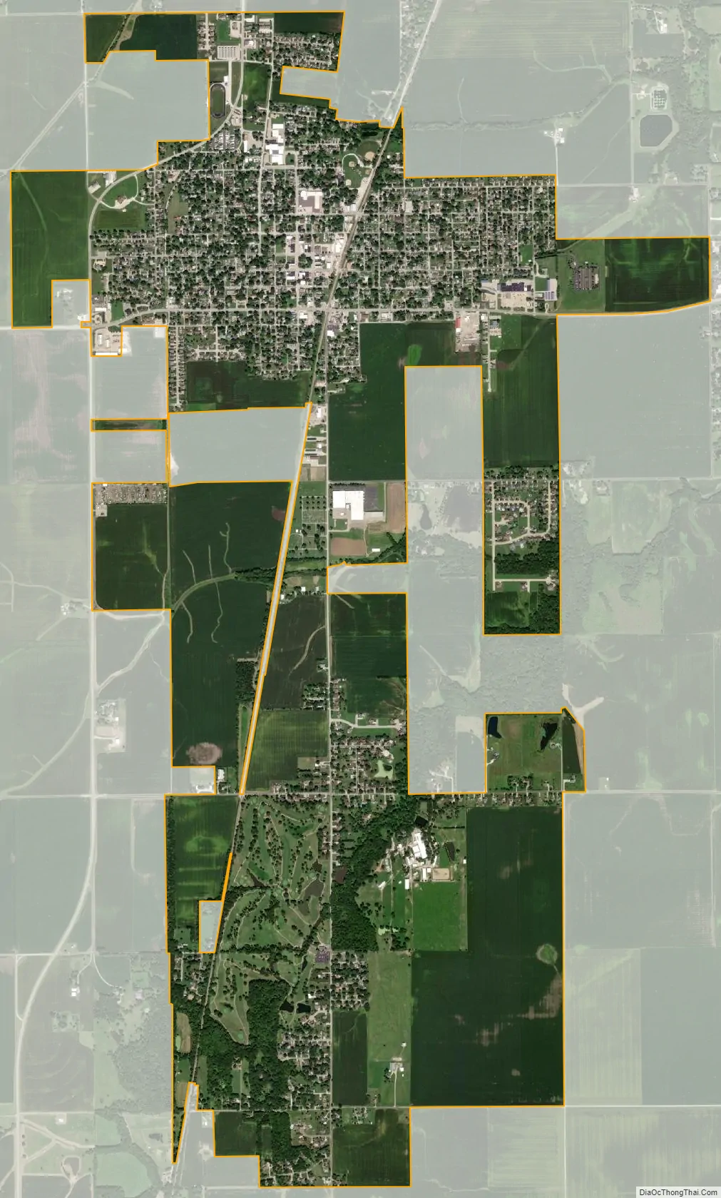
Auburn city Satellite Map
Geography
According to the 2010 census, Auburn has a total area of 4.08 square miles (10.57 km), all land.
See also
Map of Illinois State and its subdivision:- Adams
- Alexander
- Bond
- Boone
- Brown
- Bureau
- Calhoun
- Carroll
- Cass
- Champaign
- Christian
- Clark
- Clay
- Clinton
- Coles
- Cook
- Crawford
- Cumberland
- De Kalb
- De Witt
- Douglas
- Dupage
- Edgar
- Edwards
- Effingham
- Fayette
- Ford
- Franklin
- Fulton
- Gallatin
- Greene
- Grundy
- Hamilton
- Hancock
- Hardin
- Henderson
- Henry
- Iroquois
- Jackson
- Jasper
- Jefferson
- Jersey
- Jo Daviess
- Johnson
- Kane
- Kankakee
- Kendall
- Knox
- La Salle
- Lake
- Lake Michigan
- Lawrence
- Lee
- Livingston
- Logan
- Macon
- Macoupin
- Madison
- Marion
- Marshall
- Mason
- Massac
- McDonough
- McHenry
- McLean
- Menard
- Mercer
- Monroe
- Montgomery
- Morgan
- Moultrie
- Ogle
- Peoria
- Perry
- Piatt
- Pike
- Pope
- Pulaski
- Putnam
- Randolph
- Richland
- Rock Island
- Saint Clair
- Saline
- Sangamon
- Schuyler
- Scott
- Shelby
- Stark
- Stephenson
- Tazewell
- Union
- Vermilion
- Wabash
- Warren
- Washington
- Wayne
- White
- Whiteside
- Will
- Williamson
- Winnebago
- Woodford
- Alabama
- Alaska
- Arizona
- Arkansas
- California
- Colorado
- Connecticut
- Delaware
- District of Columbia
- Florida
- Georgia
- Hawaii
- Idaho
- Illinois
- Indiana
- Iowa
- Kansas
- Kentucky
- Louisiana
- Maine
- Maryland
- Massachusetts
- Michigan
- Minnesota
- Mississippi
- Missouri
- Montana
- Nebraska
- Nevada
- New Hampshire
- New Jersey
- New Mexico
- New York
- North Carolina
- North Dakota
- Ohio
- Oklahoma
- Oregon
- Pennsylvania
- Rhode Island
- South Carolina
- South Dakota
- Tennessee
- Texas
- Utah
- Vermont
- Virginia
- Washington
- West Virginia
- Wisconsin
- Wyoming


