Belknap is a village in Johnson County, Illinois, United States. The population was 104 at the 2010 census.
| Name: | Belknap village |
|---|---|
| LSAD Code: | 47 |
| LSAD Description: | village (suffix) |
| State: | Illinois |
| County: | Johnson County |
| Elevation: | 341 ft (104 m) |
| Total Area: | 1.06 sq mi (2.74 km²) |
| Land Area: | 1.06 sq mi (2.74 km²) |
| Water Area: | 0.00 sq mi (0.01 km²) |
| Total Population: | 88 |
| Population Density: | 83.25/sq mi (32.13/km²) |
| ZIP code: | 62908 |
| Area code: | 618 |
| FIPS code: | 1704715 |
| GNISfeature ID: | 2398072 |
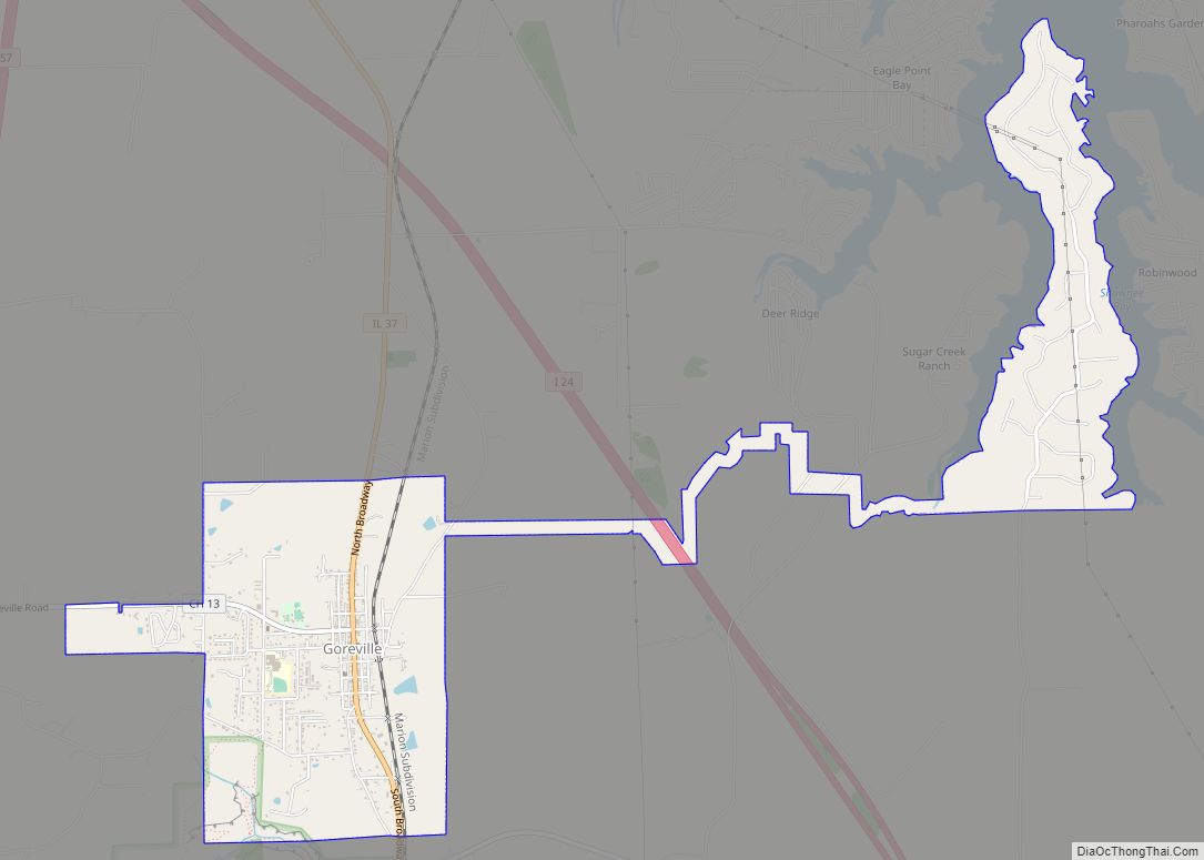
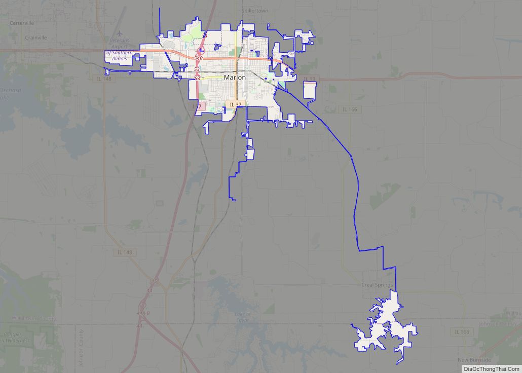
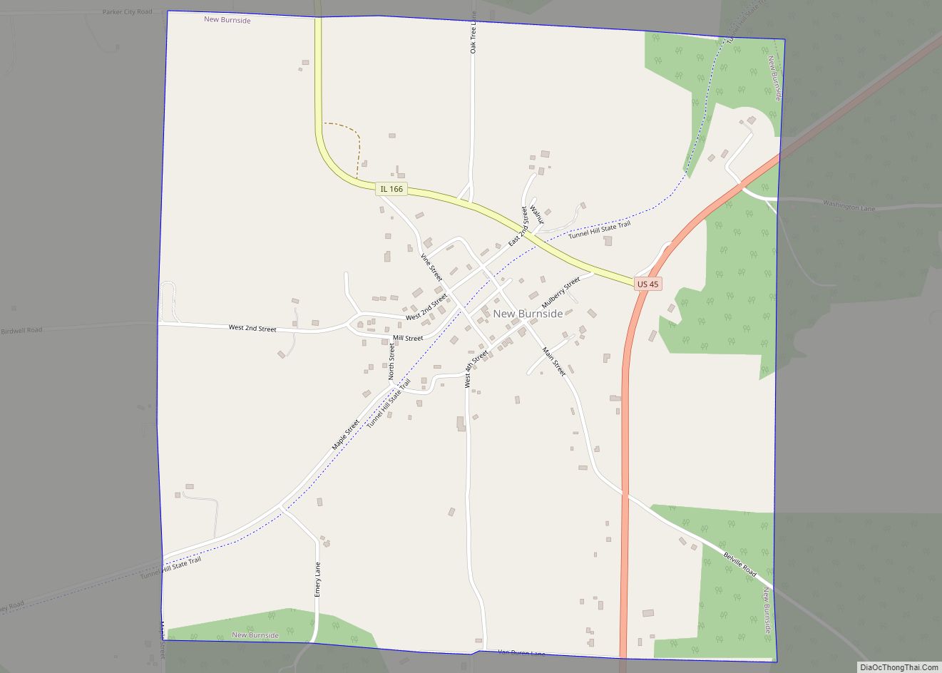
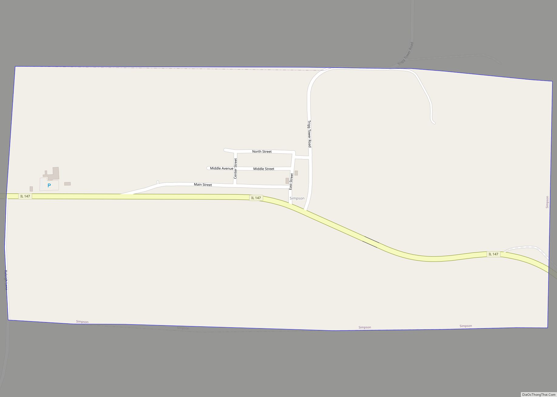
Online Interactive Map
Click on ![]() to view map in "full screen" mode.
to view map in "full screen" mode.
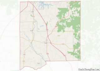
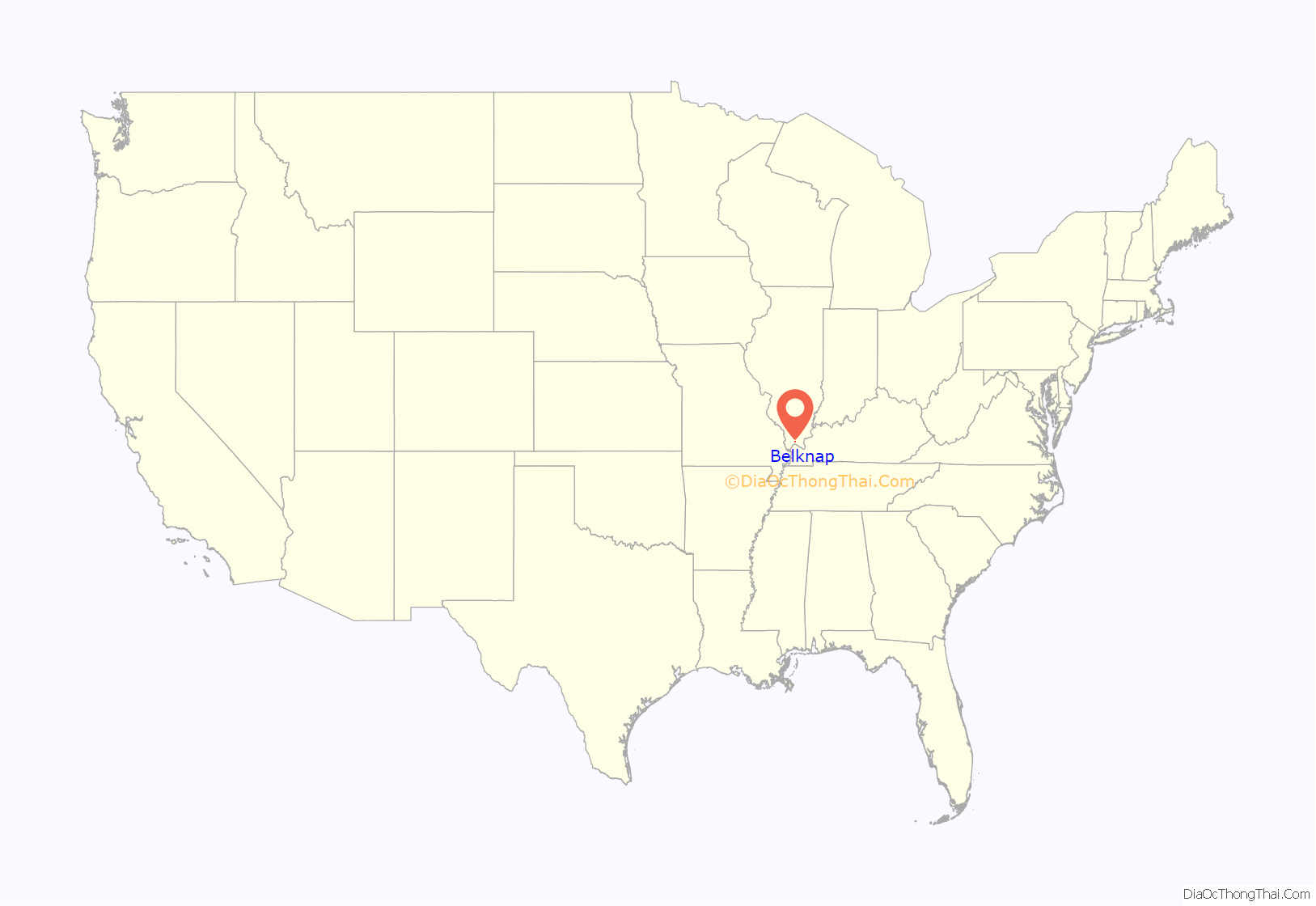
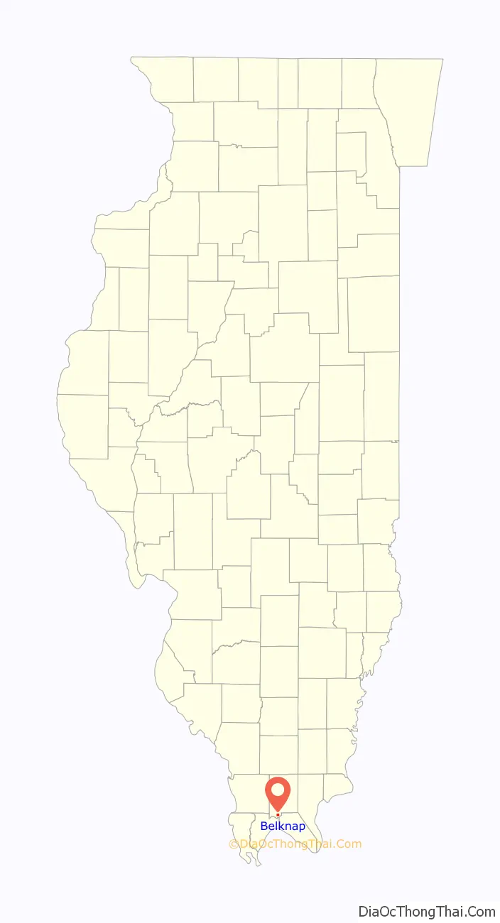
Belknap location map. Where is Belknap village?
History
Belknap Post Office, September 2017
Belknap Community Church, September 2017
Belknap was established 1873 as a stop along what would become the Big Four Railroad. It was likely named for William Worth Belknap, who served as U.S. Secretary of War during this period. A post office was established that same year, and the village incorporated in 1880.
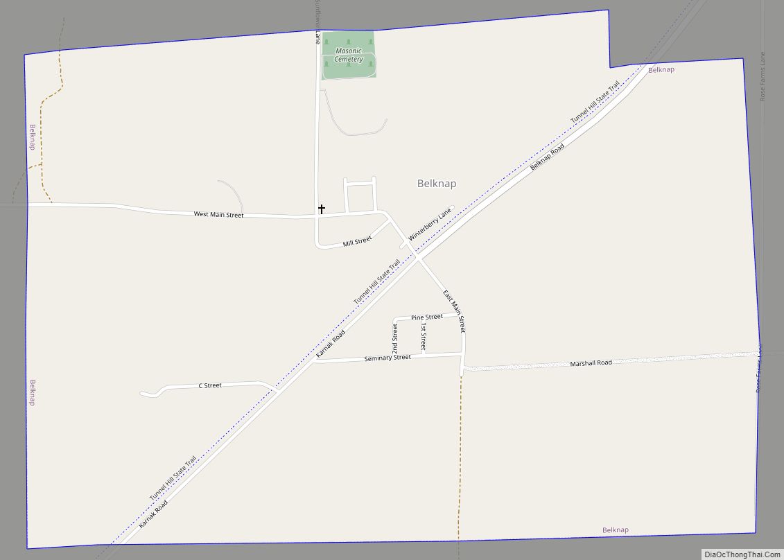
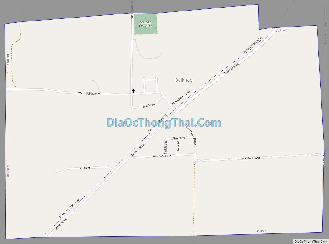
Belknap Road Map
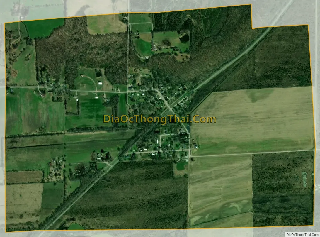
Belknap city Satellite Map
Geography
Belknap is located in southern Johnson County at 37°19′25″N 88°56′26″W / 37.32361°N 88.94056°W / 37.32361; -88.94056 (37.323620, -88.940579). The village is situated in the Cache River basin northeast of Karnak and southwest of Vienna. The Heron Pond – Little Black Slough Nature Preserve lies to the north of Belknap, and the 45-mile (72 km) Tunnel Hill State Trail passes through the village.
According to the 2010 census, Belknap has a total area of 1.062 square miles (2.75 km), of which 1.06 square miles (2.75 km) (or 99.81%) is land and 0.002 square miles (0.01 km) (or 0.19%) is water.
See also
Map of Illinois State and its subdivision:- Adams
- Alexander
- Bond
- Boone
- Brown
- Bureau
- Calhoun
- Carroll
- Cass
- Champaign
- Christian
- Clark
- Clay
- Clinton
- Coles
- Cook
- Crawford
- Cumberland
- De Kalb
- De Witt
- Douglas
- Dupage
- Edgar
- Edwards
- Effingham
- Fayette
- Ford
- Franklin
- Fulton
- Gallatin
- Greene
- Grundy
- Hamilton
- Hancock
- Hardin
- Henderson
- Henry
- Iroquois
- Jackson
- Jasper
- Jefferson
- Jersey
- Jo Daviess
- Johnson
- Kane
- Kankakee
- Kendall
- Knox
- La Salle
- Lake
- Lake Michigan
- Lawrence
- Lee
- Livingston
- Logan
- Macon
- Macoupin
- Madison
- Marion
- Marshall
- Mason
- Massac
- McDonough
- McHenry
- McLean
- Menard
- Mercer
- Monroe
- Montgomery
- Morgan
- Moultrie
- Ogle
- Peoria
- Perry
- Piatt
- Pike
- Pope
- Pulaski
- Putnam
- Randolph
- Richland
- Rock Island
- Saint Clair
- Saline
- Sangamon
- Schuyler
- Scott
- Shelby
- Stark
- Stephenson
- Tazewell
- Union
- Vermilion
- Wabash
- Warren
- Washington
- Wayne
- White
- Whiteside
- Will
- Williamson
- Winnebago
- Woodford
- Alabama
- Alaska
- Arizona
- Arkansas
- California
- Colorado
- Connecticut
- Delaware
- District of Columbia
- Florida
- Georgia
- Hawaii
- Idaho
- Illinois
- Indiana
- Iowa
- Kansas
- Kentucky
- Louisiana
- Maine
- Maryland
- Massachusetts
- Michigan
- Minnesota
- Mississippi
- Missouri
- Montana
- Nebraska
- Nevada
- New Hampshire
- New Jersey
- New Mexico
- New York
- North Carolina
- North Dakota
- Ohio
- Oklahoma
- Oregon
- Pennsylvania
- Rhode Island
- South Carolina
- South Dakota
- Tennessee
- Texas
- Utah
- Vermont
- Virginia
- Washington
- West Virginia
- Wisconsin
- Wyoming