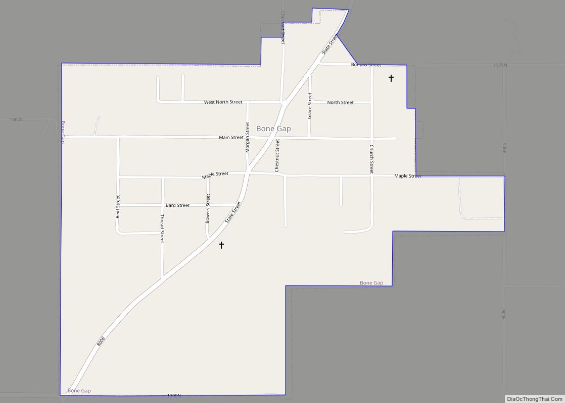
Bone Gap is a village in Edwards County, Illinois, United States. The population was 181 at the 2020 census, down from 246 at the 2010 census.
| Name: | Bone Gap village |
|---|---|
| LSAD Code: | 47 |
| LSAD Description: | village (suffix) |
| State: | Illinois |
| County: | Edwards County |
| Elevation: | 469 ft (143 m) |
| Total Area: | 0.58 sq mi (1.51 km²) |
| Land Area: | 0.58 sq mi (1.51 km²) |
| Water Area: | 0.00 sq mi (0.00 km²) |
| Total Population: | 181 |
| Population Density: | 310.46/sq mi (119.89/km²) |
| ZIP code: | 62815 |
| Area code: | 618 |
| FIPS code: | 1707224 |
Online Interactive Map
Click on ![]() to view map in "full screen" mode.
to view map in "full screen" mode.
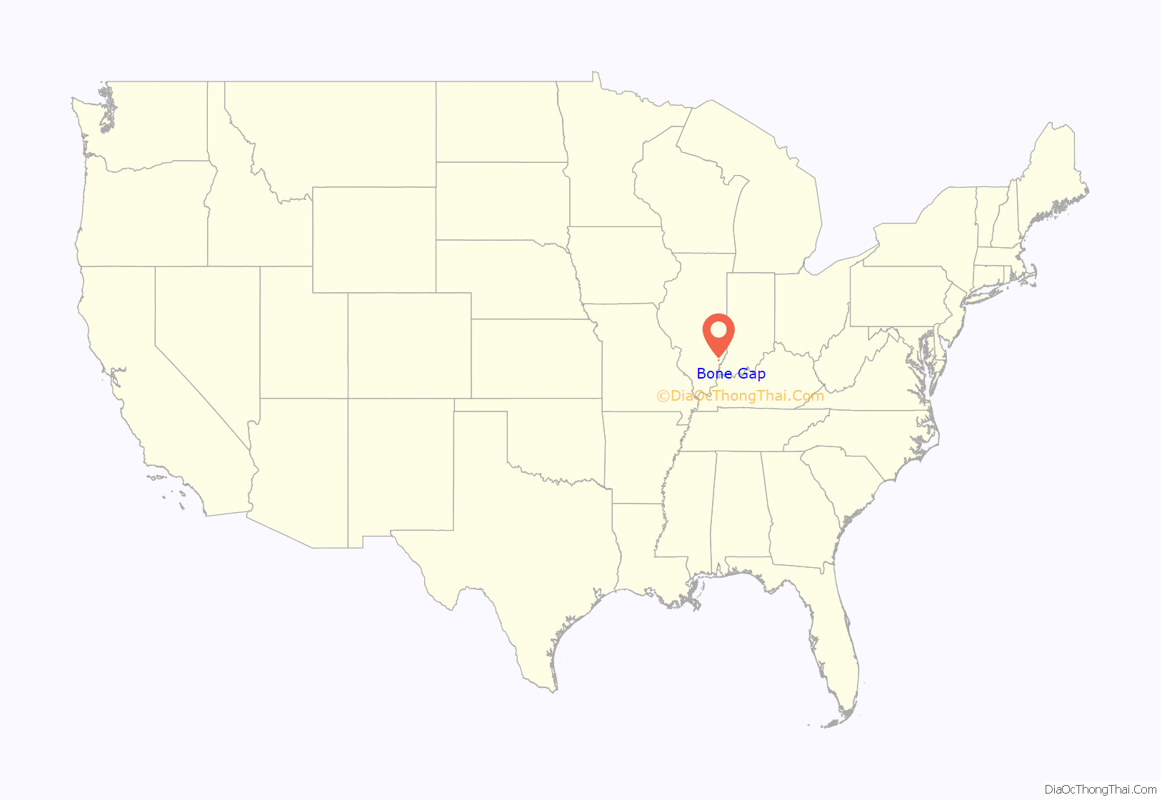
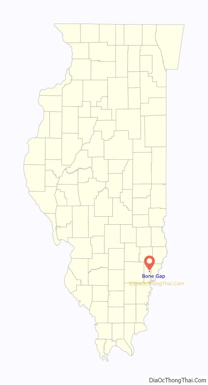
Bone Gap location map. Where is Bone Gap village?
History
According to local historians, the Piankeshaw Indians established a village in the vicinity of modern Bone Gap prior to the arrival of permanent European settlers. This village was situated in a gap in the treeline. When the first permanent European settlers arrived in 1830, they found a large number of discarded animal bones left by the Piankeshaw inhabitants, and named the settlement “Bone Gap.”
Surnames among early settlers included Rude, Morgan, Knowlton, Phillips, Leach, Gibson, Rice, and Gould, the latter belonging to Methodist minister Ebenezer Gould. Many of the settlers came from northeastern states, and the community that developed became known as “Yankeetown.” This area, now known as “Old Bone Gap” as it was situated just east of the current village, consisted of a store, post office, doctor’s office, blacksmith shop, a Baptist church, and a Methodist parsonage. The current village of Bone Gap voted 38-7 to incorporate on March 29, 1892.
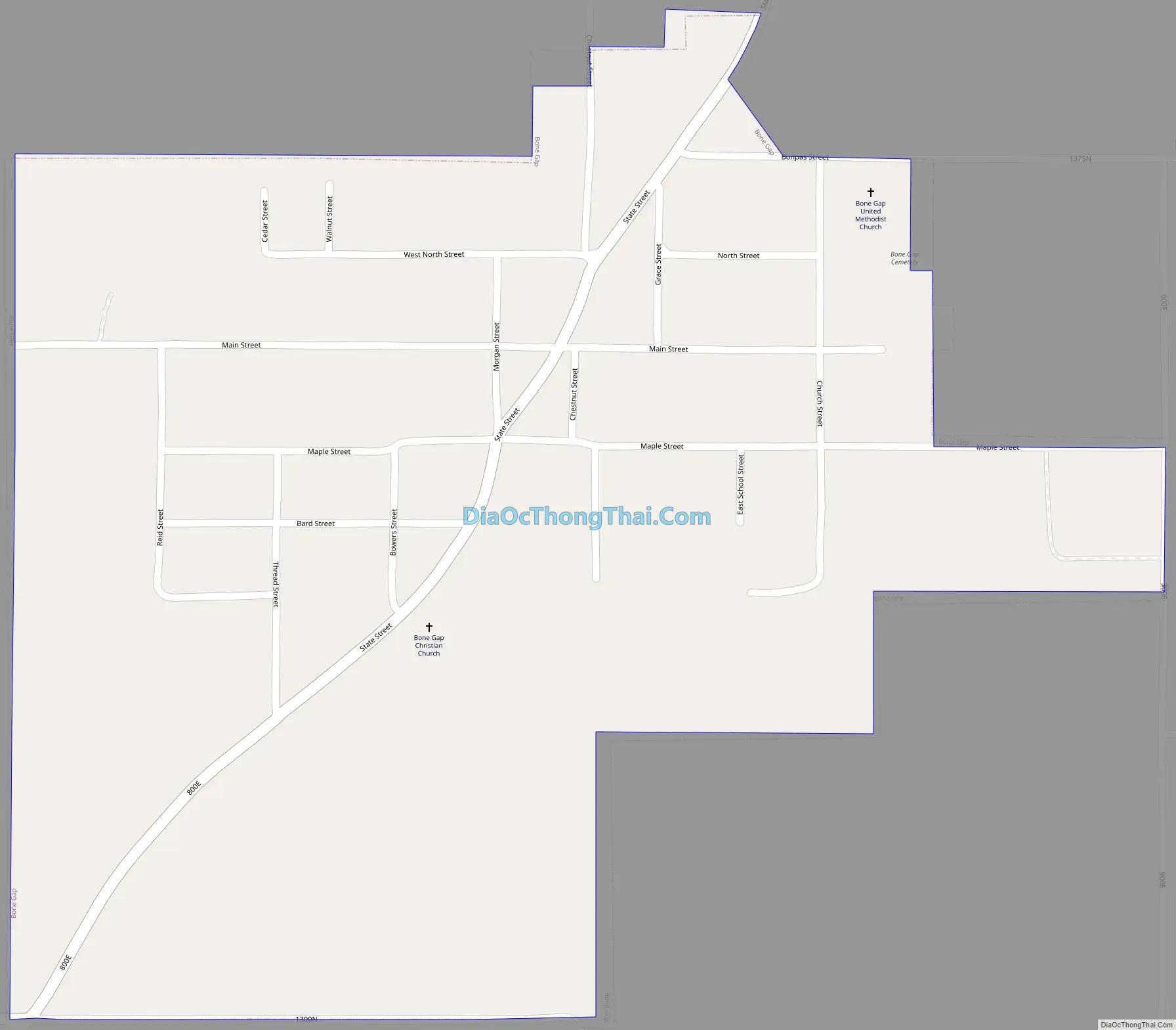
Bone Gap Road Map
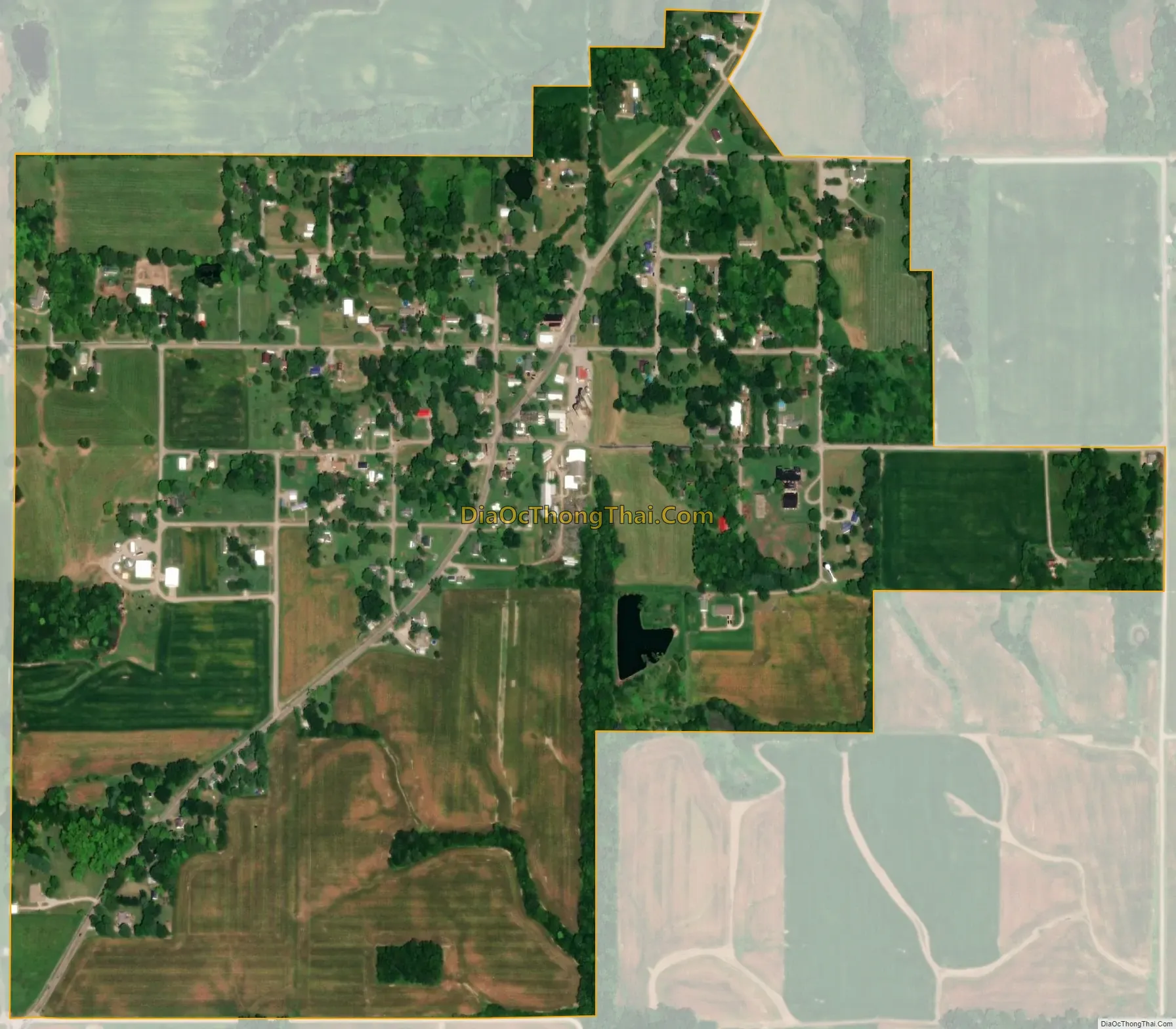
Bone Gap city Satellite Map
Geography
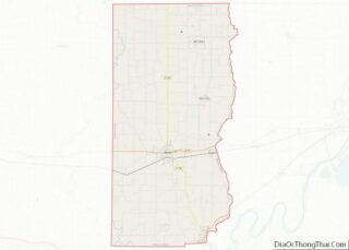
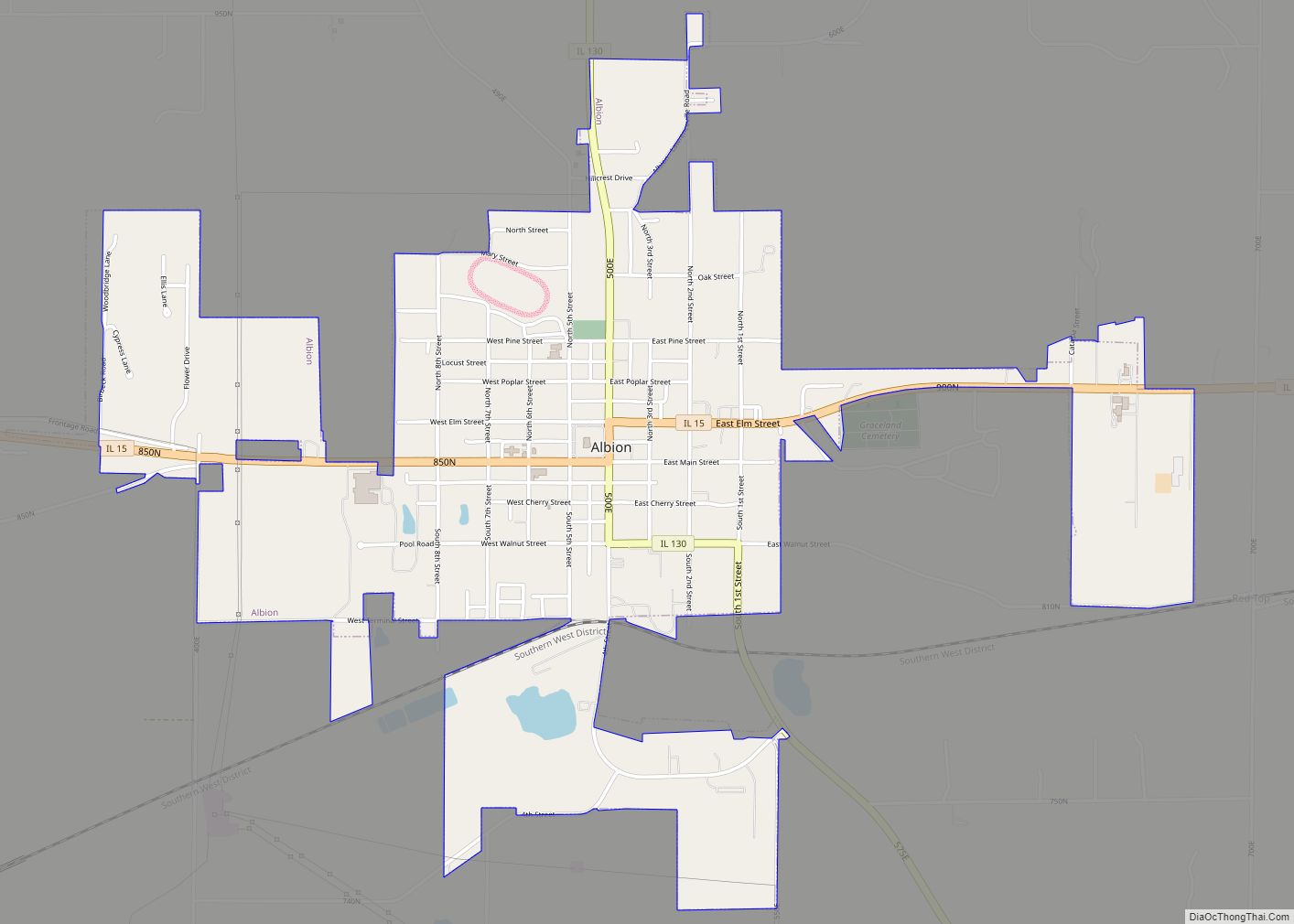
Bone Gap is located in northeastern Edwards County 7 miles (11 km) northeast of Albion, the county seat. Illinois State Route 130 passes just to the west.
According to the 2010 census, Bone Gap has a total area of 0.6 square miles (1.55 km), all land.
See also
Map of Illinois State and its subdivision:- Adams
- Alexander
- Bond
- Boone
- Brown
- Bureau
- Calhoun
- Carroll
- Cass
- Champaign
- Christian
- Clark
- Clay
- Clinton
- Coles
- Cook
- Crawford
- Cumberland
- De Kalb
- De Witt
- Douglas
- Dupage
- Edgar
- Edwards
- Effingham
- Fayette
- Ford
- Franklin
- Fulton
- Gallatin
- Greene
- Grundy
- Hamilton
- Hancock
- Hardin
- Henderson
- Henry
- Iroquois
- Jackson
- Jasper
- Jefferson
- Jersey
- Jo Daviess
- Johnson
- Kane
- Kankakee
- Kendall
- Knox
- La Salle
- Lake
- Lake Michigan
- Lawrence
- Lee
- Livingston
- Logan
- Macon
- Macoupin
- Madison
- Marion
- Marshall
- Mason
- Massac
- McDonough
- McHenry
- McLean
- Menard
- Mercer
- Monroe
- Montgomery
- Morgan
- Moultrie
- Ogle
- Peoria
- Perry
- Piatt
- Pike
- Pope
- Pulaski
- Putnam
- Randolph
- Richland
- Rock Island
- Saint Clair
- Saline
- Sangamon
- Schuyler
- Scott
- Shelby
- Stark
- Stephenson
- Tazewell
- Union
- Vermilion
- Wabash
- Warren
- Washington
- Wayne
- White
- Whiteside
- Will
- Williamson
- Winnebago
- Woodford
- Alabama
- Alaska
- Arizona
- Arkansas
- California
- Colorado
- Connecticut
- Delaware
- District of Columbia
- Florida
- Georgia
- Hawaii
- Idaho
- Illinois
- Indiana
- Iowa
- Kansas
- Kentucky
- Louisiana
- Maine
- Maryland
- Massachusetts
- Michigan
- Minnesota
- Mississippi
- Missouri
- Montana
- Nebraska
- Nevada
- New Hampshire
- New Jersey
- New Mexico
- New York
- North Carolina
- North Dakota
- Ohio
- Oklahoma
- Oregon
- Pennsylvania
- Rhode Island
- South Carolina
- South Dakota
- Tennessee
- Texas
- Utah
- Vermont
- Virginia
- Washington
- West Virginia
- Wisconsin
- Wyoming