Bonfield is a village in Kankakee County, Illinois, United States. Bonfield’s population was 382 at the 2010 census. It is included in the Kankakee–Bradley, Illinois Metropolitan Statistical Area.
Although founded by a quarryman, Thomas Verkler, the village was named after Thomas Bonfield, an attorney for the Kankakee & Seneca Railroad Company, which established a depot in the village. The railroad has long since disappeared into history but it had been on Johnson Street. Old railroad spikes and ties might still be found around the limestone quarry. The depot was moved about a mile and a half south of the village and converted to a barn, which remained in December 2007. The town had a high school, but it burned down in the early 1930s. Students then went to Herscher High School in Herscher.
| Name: | Bonfield village |
|---|---|
| LSAD Code: | 47 |
| LSAD Description: | village (suffix) |
| State: | Illinois |
| County: | Kankakee County |
| Elevation: | 630 ft (190 m) |
| Total Area: | 0.49 sq mi (1.27 km²) |
| Land Area: | 0.49 sq mi (1.27 km²) |
| Water Area: | 0.00 sq mi (0.00 km²) |
| Total Population: | 351 |
| Population Density: | 713.41/sq mi (275.60/km²) |
| FIPS code: | 1707237 |
| Website: | www.villageofbonfield.org |
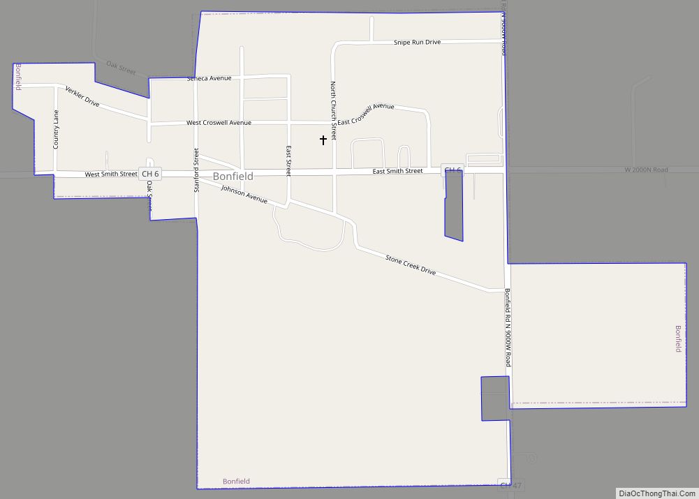
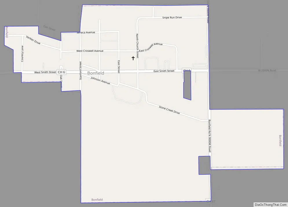
Online Interactive Map
Click on ![]() to view map in "full screen" mode.
to view map in "full screen" mode.
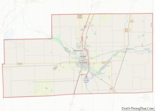
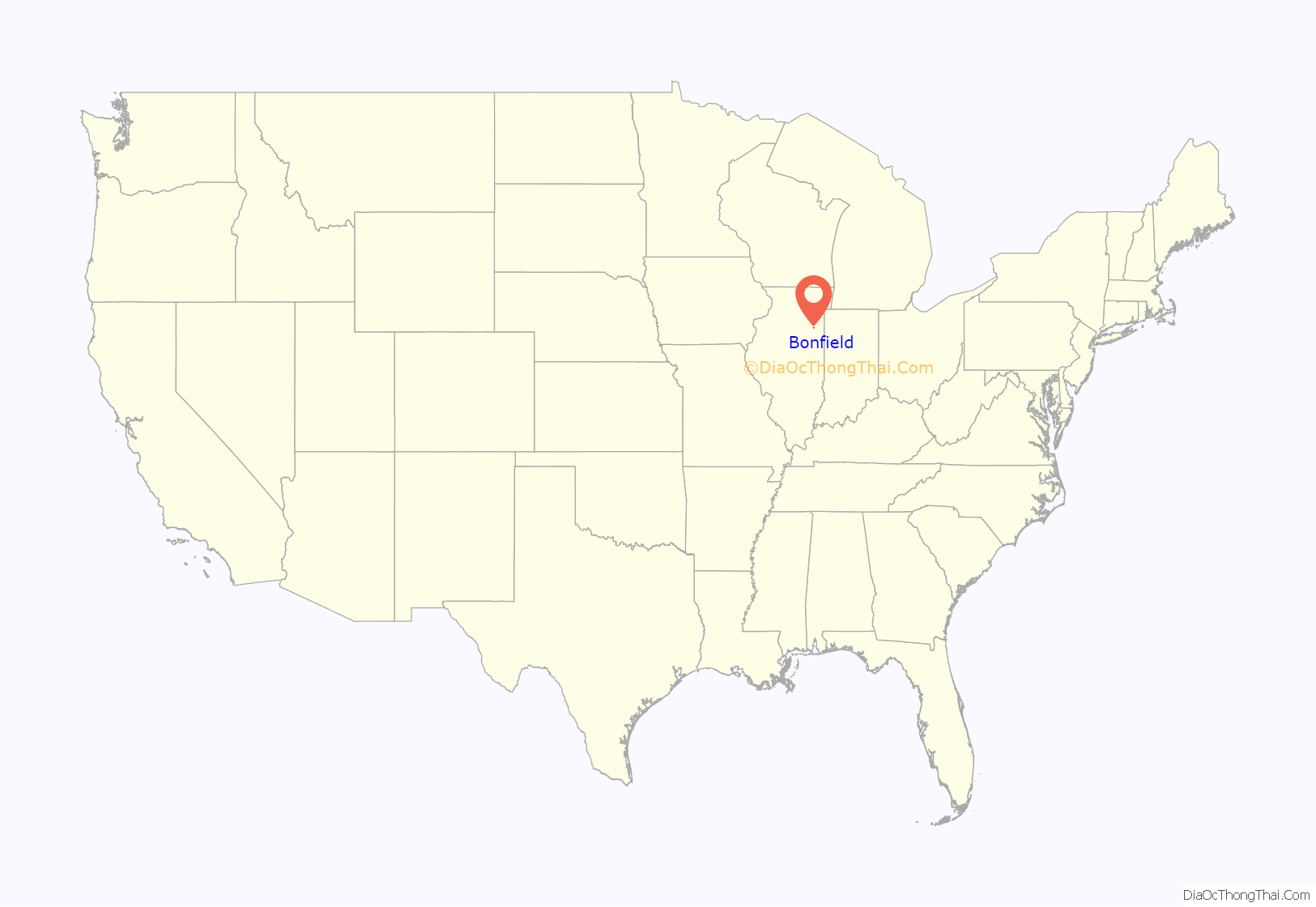
Bonfield location map. Where is Bonfield village?
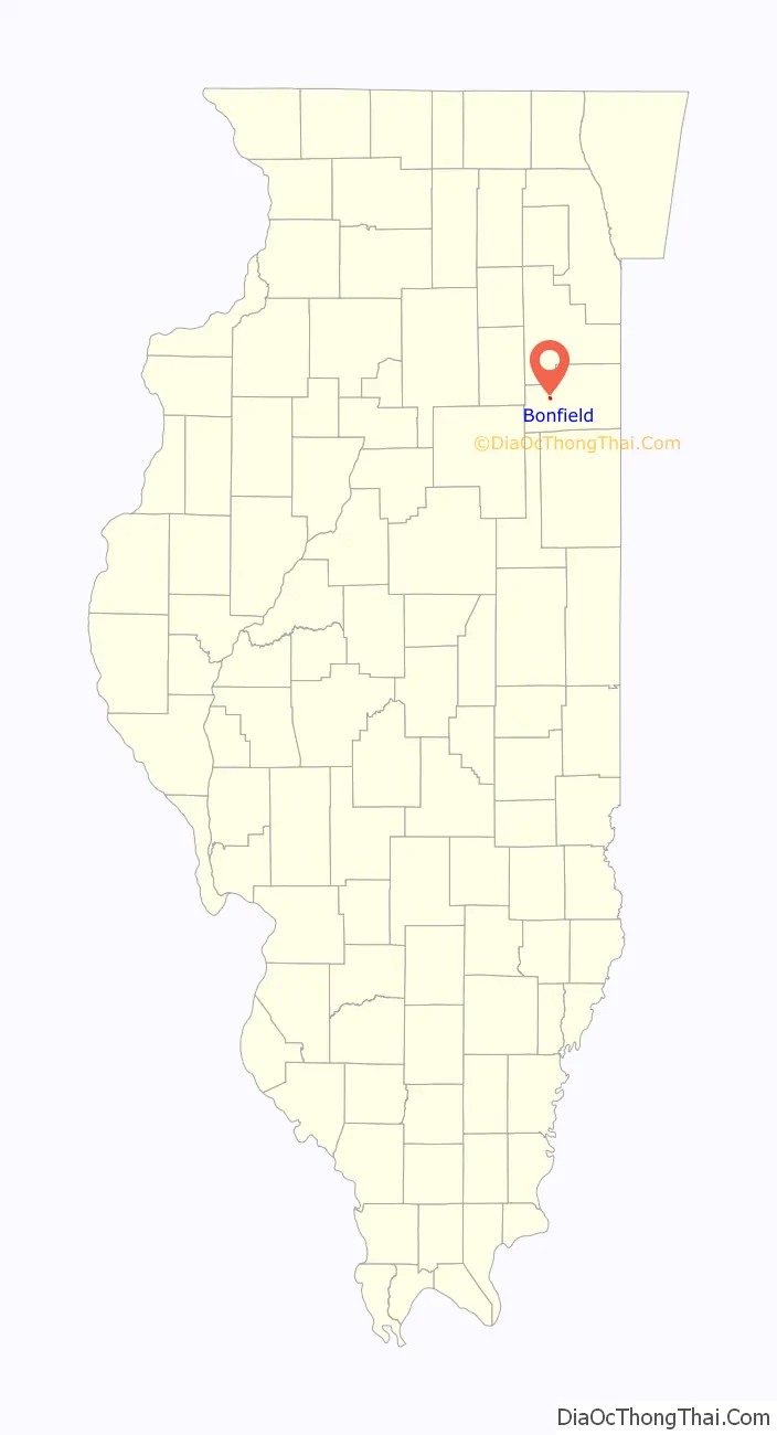
Bonfield Road Map
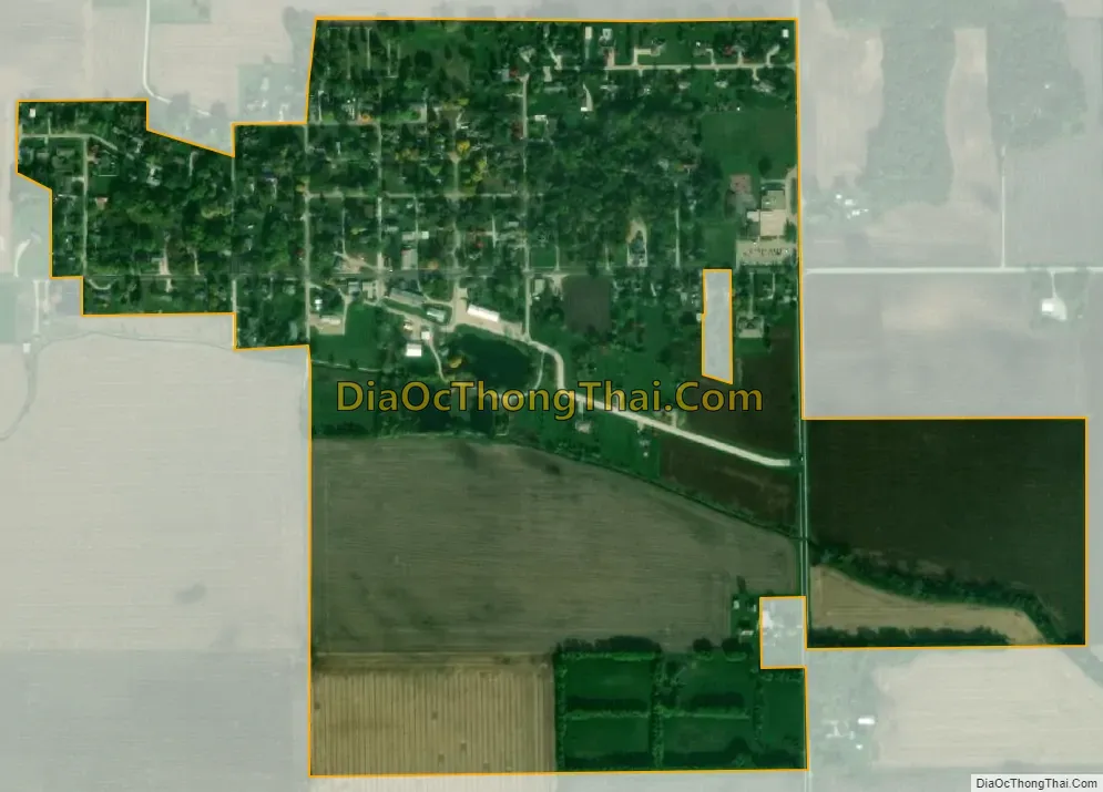
Bonfield city Satellite Map
Geography
Bonfield is located in western Kankakee County at 41°8′50″N 88°3′30″W / 41.14722°N 88.05833°W / 41.14722; -88.05833 (41.147190, -88.058219). It is 12 miles (19 km) west of Kankakee, the county seat.
According to the 2010 census, Bonfield has a total area of 0.49 square miles (1.27 km), all land.
See also
Map of Illinois State and its subdivision:- Adams
- Alexander
- Bond
- Boone
- Brown
- Bureau
- Calhoun
- Carroll
- Cass
- Champaign
- Christian
- Clark
- Clay
- Clinton
- Coles
- Cook
- Crawford
- Cumberland
- De Kalb
- De Witt
- Douglas
- Dupage
- Edgar
- Edwards
- Effingham
- Fayette
- Ford
- Franklin
- Fulton
- Gallatin
- Greene
- Grundy
- Hamilton
- Hancock
- Hardin
- Henderson
- Henry
- Iroquois
- Jackson
- Jasper
- Jefferson
- Jersey
- Jo Daviess
- Johnson
- Kane
- Kankakee
- Kendall
- Knox
- La Salle
- Lake
- Lake Michigan
- Lawrence
- Lee
- Livingston
- Logan
- Macon
- Macoupin
- Madison
- Marion
- Marshall
- Mason
- Massac
- McDonough
- McHenry
- McLean
- Menard
- Mercer
- Monroe
- Montgomery
- Morgan
- Moultrie
- Ogle
- Peoria
- Perry
- Piatt
- Pike
- Pope
- Pulaski
- Putnam
- Randolph
- Richland
- Rock Island
- Saint Clair
- Saline
- Sangamon
- Schuyler
- Scott
- Shelby
- Stark
- Stephenson
- Tazewell
- Union
- Vermilion
- Wabash
- Warren
- Washington
- Wayne
- White
- Whiteside
- Will
- Williamson
- Winnebago
- Woodford
- Alabama
- Alaska
- Arizona
- Arkansas
- California
- Colorado
- Connecticut
- Delaware
- District of Columbia
- Florida
- Georgia
- Hawaii
- Idaho
- Illinois
- Indiana
- Iowa
- Kansas
- Kentucky
- Louisiana
- Maine
- Maryland
- Massachusetts
- Michigan
- Minnesota
- Mississippi
- Missouri
- Montana
- Nebraska
- Nevada
- New Hampshire
- New Jersey
- New Mexico
- New York
- North Carolina
- North Dakota
- Ohio
- Oklahoma
- Oregon
- Pennsylvania
- Rhode Island
- South Carolina
- South Dakota
- Tennessee
- Texas
- Utah
- Vermont
- Virginia
- Washington
- West Virginia
- Wisconsin
- Wyoming