Bradley (formerly North Kankakee) is a village in Kankakee County, Illinois, United States. It is a suburb of the city of Kankakee. The population was 15,895 at the 2010 census, up from 12,784 at the 2000 census.
Bradley is a principal city of the Kankakee–Bradley Metropolitan Statistical Area, which includes all of Kankakee County. The county is also part of the larger Chicago–Naperville–Michigan City, IL-IN–WI Combined Statistical Area.
| Name: | Bradley village |
|---|---|
| LSAD Code: | 47 |
| LSAD Description: | village (suffix) |
| State: | Illinois |
| County: | Kankakee County |
| Elevation: | 641 ft (195 m) |
| Total Area: | 6.93 sq mi (17.95 km²) |
| Land Area: | 6.93 sq mi (17.95 km²) |
| Water Area: | 0.00 sq mi (0.00 km²) |
| Total Population: | 15,419 |
| Population Density: | 2,224.32/sq mi (858.87/km²) |
| ZIP code: | 60915 |
| Area code: | 815/779 |
| FIPS code: | 1707744 |
| Website: | www.bradleyil.org |
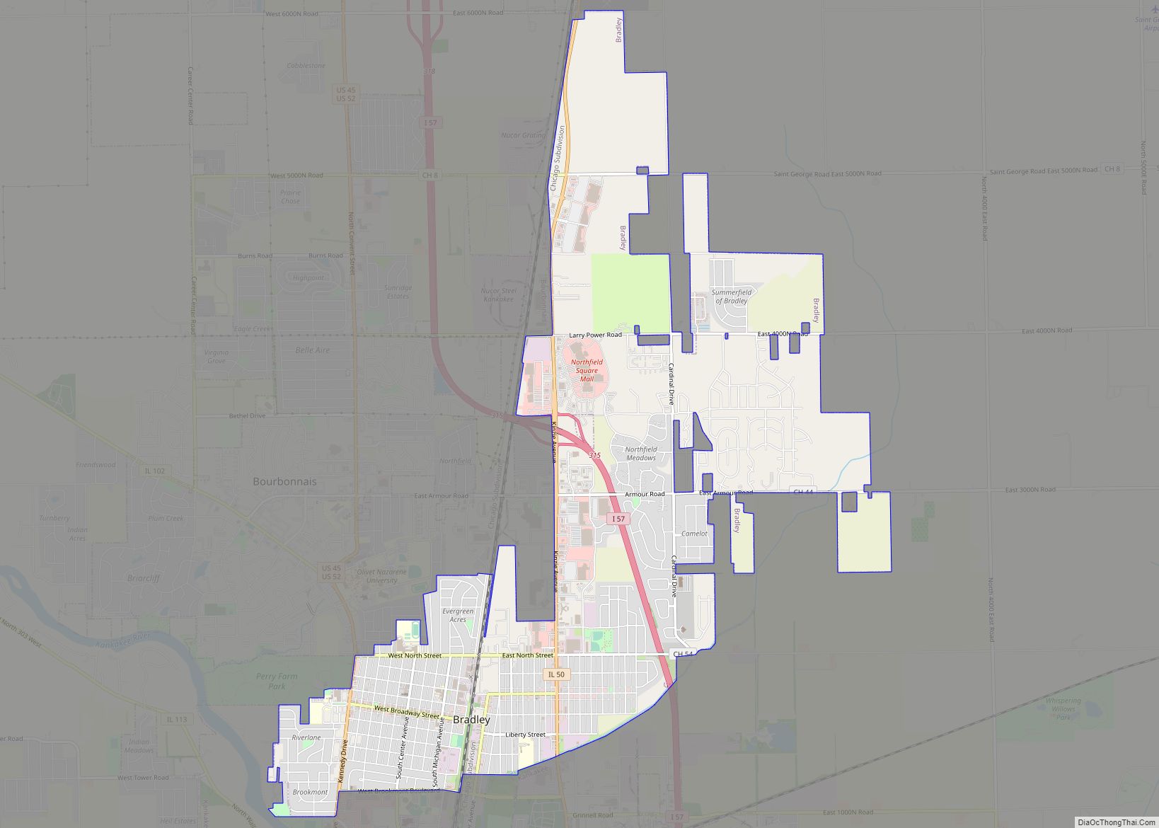
Online Interactive Map
Click on ![]() to view map in "full screen" mode.
to view map in "full screen" mode.
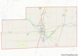
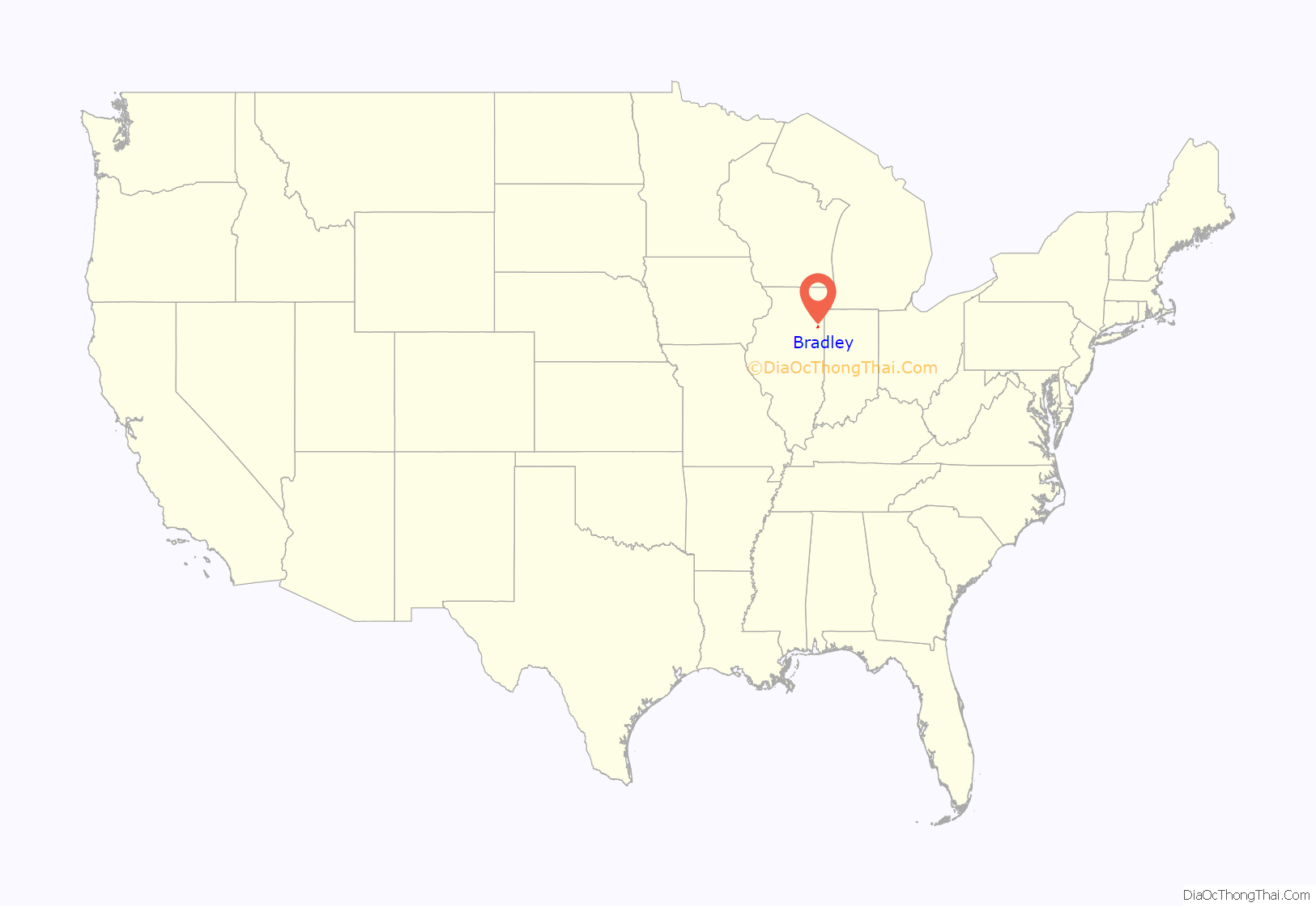
Bradley location map. Where is Bradley village?

History
In 1891, North Kankakee was established when the David Bradley Plow Works established a factory, and in recognition of this, in 1895, the town changed its name to “Bradley City” (later Bradley). Bradley was mostly a blue collar town, with the Kroehler Furniture factory and the Roper Corporation factory (maker of kitchen ranges and ovens; part of their operations were in the building that David Bradley once occupied) being the major employers. In the 1980s, as elsewhere in the Midwest, these factories closed, and after their closures, parts of those factories burned to the ground. However, by the end of the decade, things changed. In 1989, a new shopping center called Bradley Square was built with Wal-Mart as the first tenant, and more shops followed. Northfield Square Mall opened in 1990. Since that time, the village has been growing.
Bradley Road Map

Bradley city Satellite Map

Geography
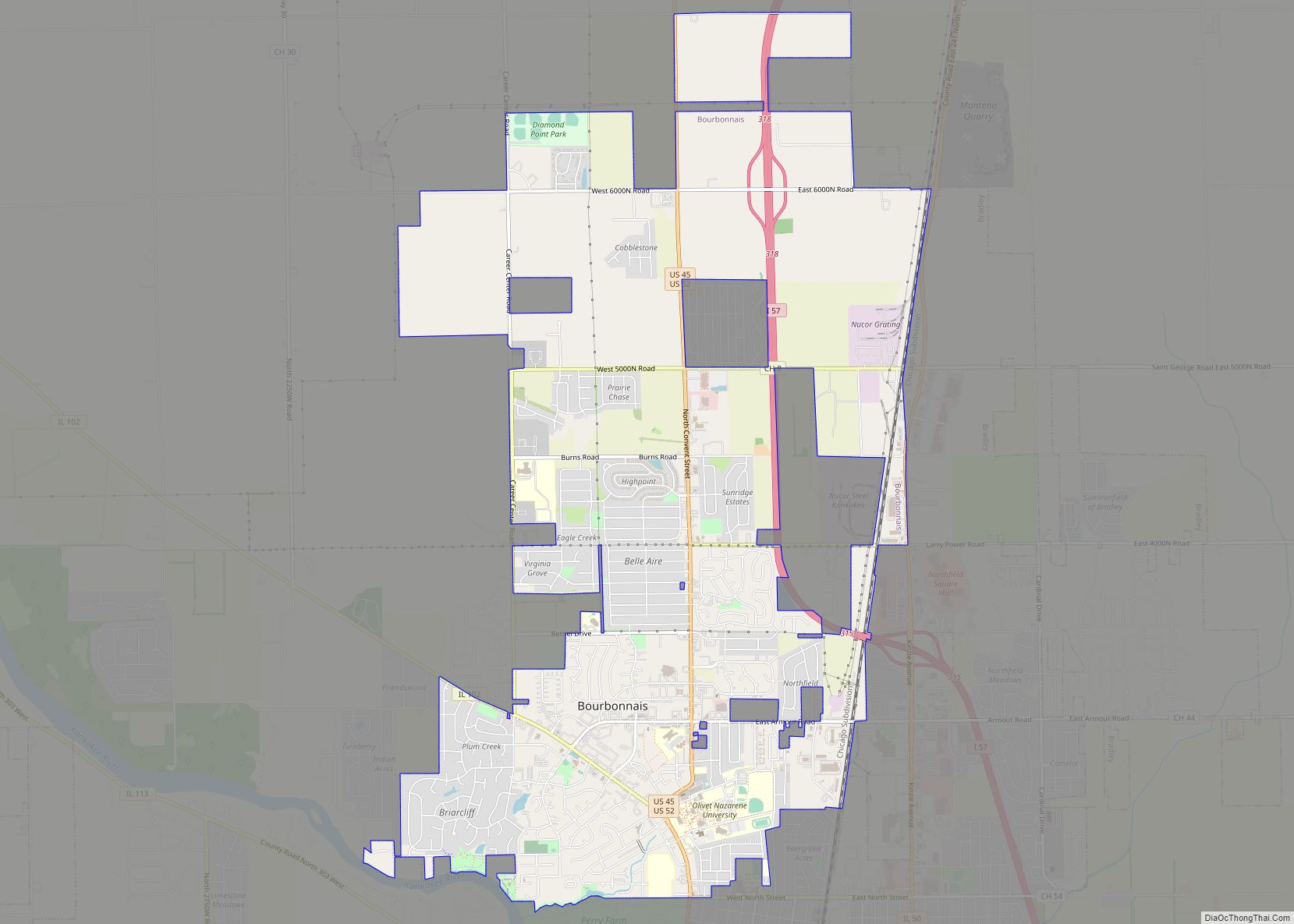
Bradley is located in north-central Kankakee County at 41°8′47″N 87°51′33″W / 41.14639°N 87.85917°W / 41.14639; -87.85917 (41.146332, -87.859123). It is bordered to the south by the city of Kankakee and to the west by the village of Bourbonnais. Interstate 57 passes through the village, with access from Exit 315 (Illinois Route 50). I-57 leads north 56 miles (90 km) to Chicago and south 76 miles (122 km) to Champaign.
According to the 2010 census, Bradley has a total area of 7.24 square miles (18.75 km), all land.
See also
Map of Illinois State and its subdivision:- Adams
- Alexander
- Bond
- Boone
- Brown
- Bureau
- Calhoun
- Carroll
- Cass
- Champaign
- Christian
- Clark
- Clay
- Clinton
- Coles
- Cook
- Crawford
- Cumberland
- De Kalb
- De Witt
- Douglas
- Dupage
- Edgar
- Edwards
- Effingham
- Fayette
- Ford
- Franklin
- Fulton
- Gallatin
- Greene
- Grundy
- Hamilton
- Hancock
- Hardin
- Henderson
- Henry
- Iroquois
- Jackson
- Jasper
- Jefferson
- Jersey
- Jo Daviess
- Johnson
- Kane
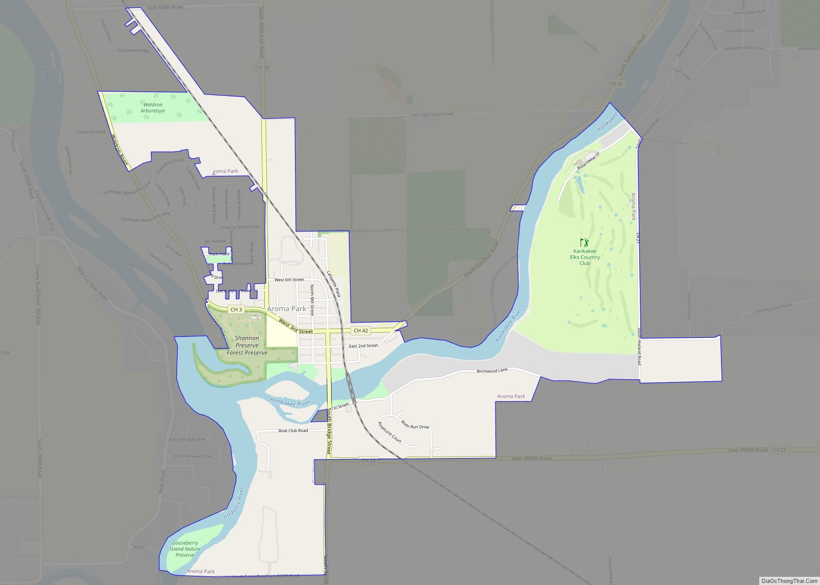
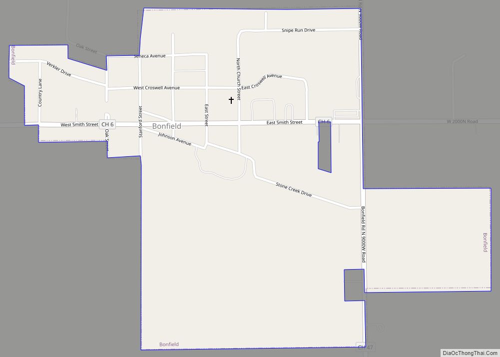
- Kankakee
- Kendall
- Knox
- La Salle
- Lake
- Lake Michigan
- Lawrence
- Lee
- Livingston
- Logan
- Macon
- Macoupin
- Madison
- Marion
- Marshall
- Mason
- Massac
- McDonough
- McHenry
- McLean
- Menard
- Mercer
- Monroe
- Montgomery
- Morgan
- Moultrie
- Ogle
- Peoria
- Perry
- Piatt
- Pike
- Pope
- Pulaski
- Putnam
- Randolph
- Richland
- Rock Island
- Saint Clair
- Saline
- Sangamon
- Schuyler
- Scott
- Shelby
- Stark
- Stephenson
- Tazewell
- Union
- Vermilion
- Wabash
- Warren
- Washington
- Wayne
- White
- Whiteside
- Will
- Williamson
- Winnebago
- Woodford
- Alabama
- Alaska
- Arizona
- Arkansas
- California
- Colorado
- Connecticut
- Delaware
- District of Columbia
- Florida
- Georgia
- Hawaii
- Idaho
- Illinois
- Indiana
- Iowa
- Kansas
- Kentucky
- Louisiana
- Maine
- Maryland
- Massachusetts
- Michigan
- Minnesota
- Mississippi
- Missouri
- Montana
- Nebraska
- Nevada
- New Hampshire
- New Jersey
- New Mexico
- New York
- North Carolina
- North Dakota
- Ohio
- Oklahoma
- Oregon
- Pennsylvania
- Rhode Island
- South Carolina
- South Dakota
- Tennessee
- Texas
- Utah
- Vermont
- Virginia
- Washington
- West Virginia
- Wisconsin
- Wyoming