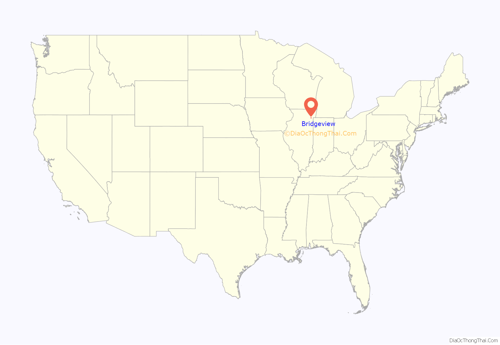
Bridgeview is a village in Cook County, Illinois, United States. It is located approximately 15 miles (24 km) southwest of the Chicago Loop. As of the 2020 census, the village population was 17,027.
| Name: | Bridgeview village |
|---|---|
| LSAD Code: | 47 |
| LSAD Description: | village (suffix) |
| State: | Illinois |
| County: | Cook County |
| Incorporated: | 1947 |
| Total Area: | 4.13 sq mi (10.70 km²) |
| Land Area: | 4.13 sq mi (10.70 km²) |
| Water Area: | 0.00 sq mi (0.00 km²) 0% |
| Total Population: | 17,027 |
| Population Density: | 4,119.77/sq mi (1,590.83/km²) |
| Area code: | 708/464 |
| FIPS code: | 1708225 |
| Website: | www.bridgeview-il.gov |
Online Interactive Map
Click on ![]() to view map in "full screen" mode.
to view map in "full screen" mode.
Bridgeview location map. Where is Bridgeview village?
History
The earliest settlement in Bridgeview occurred in the 1830s, when the area was still populated by Native American groups. By the 1870s German and Italian settlers began moving into the area for farming purposes. Dutch migrated to the area by the 1920s, at which time farming began to decline; real estate and industry began to develop the area considerably. After Lake Michigan water became available to the area, the population grew significantly. The Bridgeview Community Club was founded in 1938 and became the center of local activities.
Bridgeview was incorporated in 1947 with an initial population of approximately 500 residents. Local residents chose the name “Bridgeview” by one vote over “Oketo”, which remains a street name in the village today. The term “Bridgeview” connotes views of the area from the Harlem Avenue bridge, 79th Street bridge and 87th Street bridge.
Arab Americans are a growing presence, making up 10.8 percent of the population in 2020. In 1981, an Islamic social club was established and by 1984 it had become a mosque. Two Islamic schools in Bridgeview educate hundreds of students from K-12.
Bridgeview’s motto is “A Well Balanced Community”, as the village’s zoning is divided equally into residential, commercial, and industrial areas. Its proximity to Chicago’s Midway Airport and downtown, along with access to major highways, has made it a crossroads of the inner southwest suburbs.
The Fifth District Circuit Court of Cook County is located in Bridgeview near 103rd Street and 76th Avenue.
Bridgeview Road Map
Bridgeview city Satellite Map
Geography
According to the 2021 census gazetteer files, Bridgeview has a total area of 4.13 square miles (10.70 km), all land.
The village has a roughly rectangular shape; its borders running north and south stagger between 8300 West and 6800 West, but can generally be defined as between Roberts Road and Harlem Avenue. The southern border of the town is 103rd Street between 76th Avenue and Harlem. The northern border is staggered between 6700 South on the west side of the rail tracks and 6900 South on the east side of the rail tracks.
Bridgeview borders the following communities: Bedford Park, Nottingham Park (unincorporated Cook County, often considered part of Chicago due to its 60638 ZIP code), Burbank, Oak Lawn, Chicago Ridge, Palos Hills, Hickory Hills and Justice.
Bridgeview is 15 miles (24 km) southwest of the Chicago Loop.
See also
Map of Illinois State and its subdivision:- Adams
- Alexander
- Bond
- Boone
- Brown
- Bureau
- Calhoun
- Carroll
- Cass
- Champaign
- Christian
- Clark
- Clay
- Clinton
- Coles
- Cook
- Crawford
- Cumberland
- De Kalb
- De Witt
- Douglas
- Dupage
- Edgar
- Edwards
- Effingham
- Fayette
- Ford
- Franklin
- Fulton
- Gallatin
- Greene
- Grundy
- Hamilton
- Hancock
- Hardin
- Henderson
- Henry
- Iroquois
- Jackson
- Jasper
- Jefferson
- Jersey
- Jo Daviess
- Johnson
- Kane
- Kankakee
- Kendall
- Knox
- La Salle
- Lake
- Lake Michigan
- Lawrence
- Lee
- Livingston
- Logan
- Macon
- Macoupin
- Madison
- Marion
- Marshall
- Mason
- Massac
- McDonough
- McHenry
- McLean
- Menard
- Mercer
- Monroe
- Montgomery
- Morgan
- Moultrie
- Ogle
- Peoria
- Perry
- Piatt
- Pike
- Pope
- Pulaski
- Putnam
- Randolph
- Richland
- Rock Island
- Saint Clair
- Saline
- Sangamon
- Schuyler
- Scott
- Shelby
- Stark
- Stephenson
- Tazewell
- Union
- Vermilion
- Wabash
- Warren
- Washington
- Wayne
- White
- Whiteside
- Will
- Williamson
- Winnebago
- Woodford
- Alabama
- Alaska
- Arizona
- Arkansas
- California
- Colorado
- Connecticut
- Delaware
- District of Columbia
- Florida
- Georgia
- Hawaii
- Idaho
- Illinois
- Indiana
- Iowa
- Kansas
- Kentucky
- Louisiana
- Maine
- Maryland
- Massachusetts
- Michigan
- Minnesota
- Mississippi
- Missouri
- Montana
- Nebraska
- Nevada
- New Hampshire
- New Jersey
- New Mexico
- New York
- North Carolina
- North Dakota
- Ohio
- Oklahoma
- Oregon
- Pennsylvania
- Rhode Island
- South Carolina
- South Dakota
- Tennessee
- Texas
- Utah
- Vermont
- Virginia
- Washington
- West Virginia
- Wisconsin
- Wyoming


