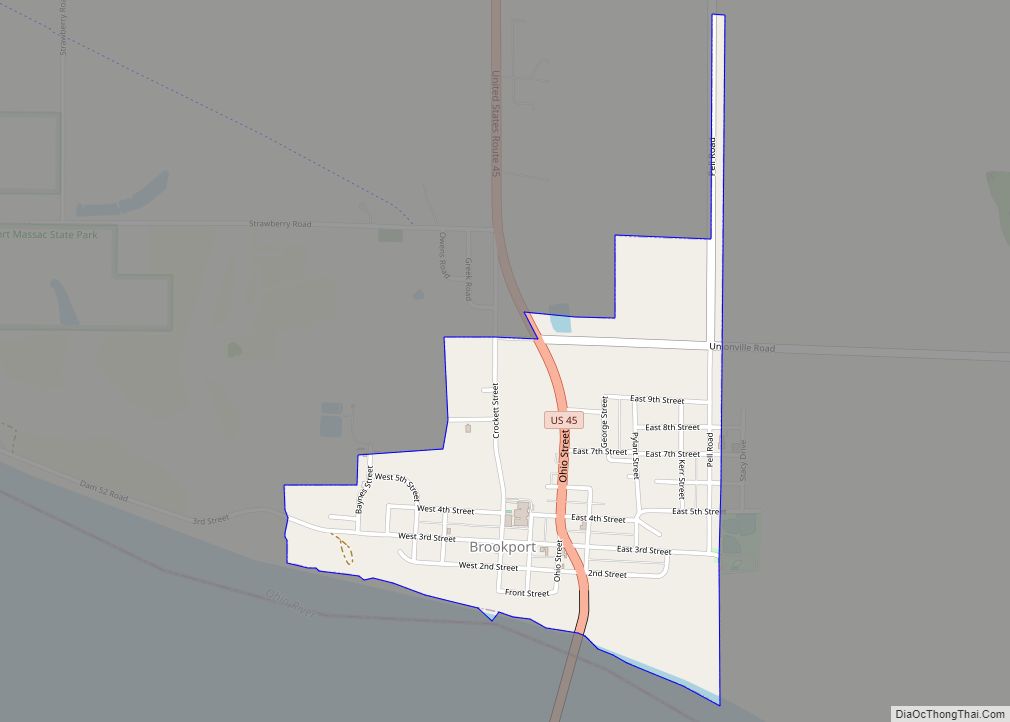
Brookport is a city in Massac County, Illinois, United States. The population was 725 at the 2020 census, down from 984 in 2010. It is part of the Paducah, KY-IL Micropolitan Statistical Area.
| Name: | Brookport city |
|---|---|
| LSAD Code: | 25 |
| LSAD Description: | city (suffix) |
| State: | Illinois |
| County: | Massac County |
| Elevation: | 340 ft (100 m) |
| Total Area: | 0.66 sq mi (1.71 km²) |
| Land Area: | 0.65 sq mi (1.69 km²) |
| Water Area: | 0.01 sq mi (0.02 km²) |
| Total Population: | 725 |
| Population Density: | 1,110.26/sq mi (428.77/km²) |
| ZIP code: | 62910 |
| Area code: | 618 |
| FIPS code: | 1708706 |
Online Interactive Map
Click on ![]() to view map in "full screen" mode.
to view map in "full screen" mode.
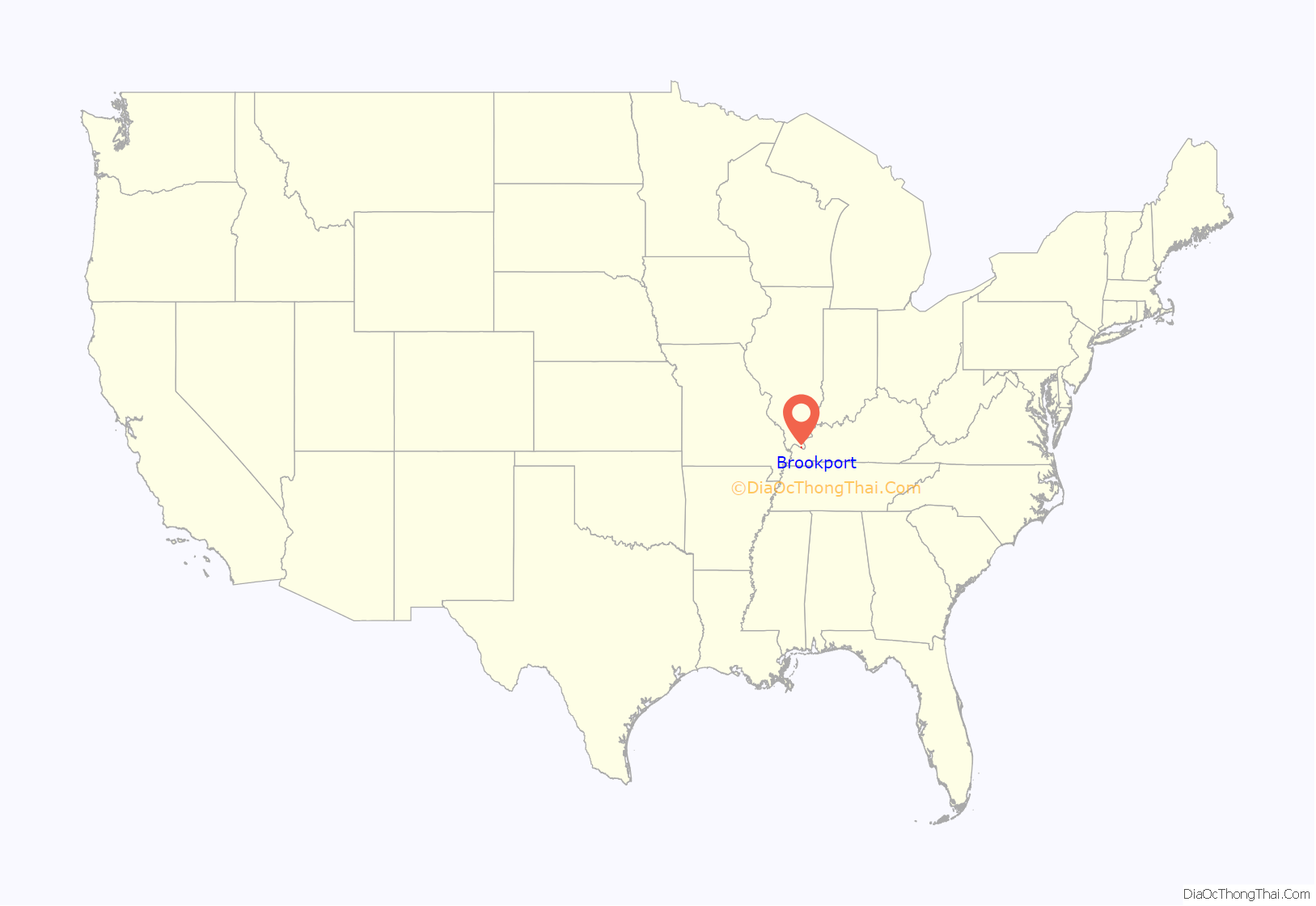
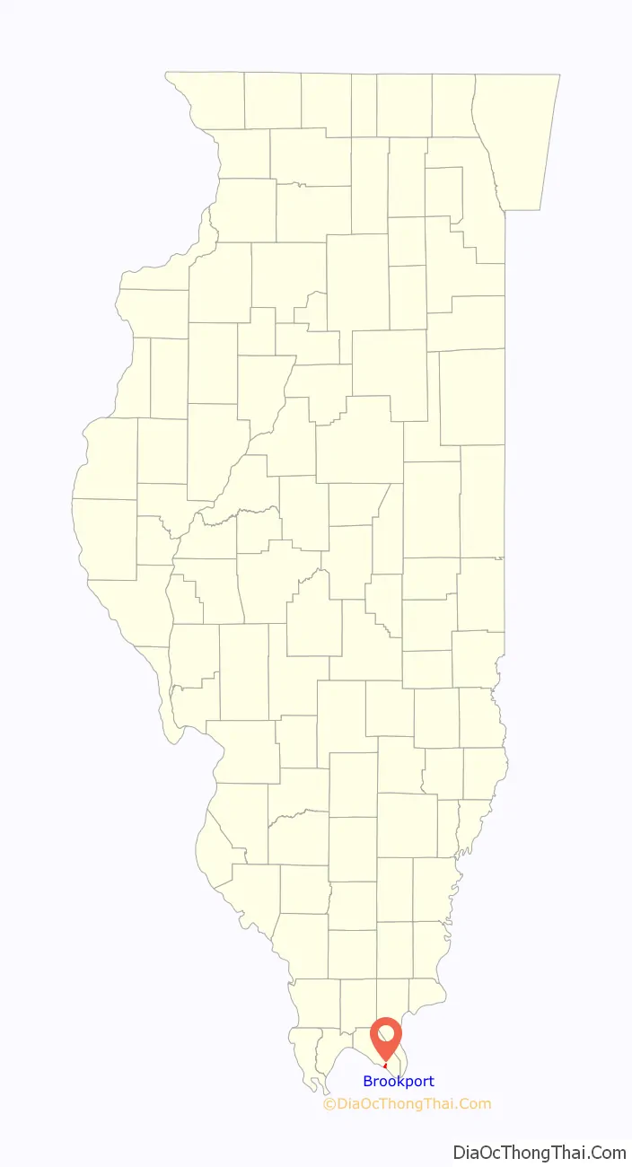
Brookport location map. Where is Brookport city?
History
Brookport was founded by Charles Pell in 1855. It was originally known as “Pellonia,” after Pell. The small city declined within a few years, but saw a resurgence with the construction of the Illinois Central Railroad nearby in the late 1880s. It was reincorporated as “Brooklyn” in 1888. The name was changed to “Brookport”, a portmanteau of “Brooklyn” and “port,” in 1901.
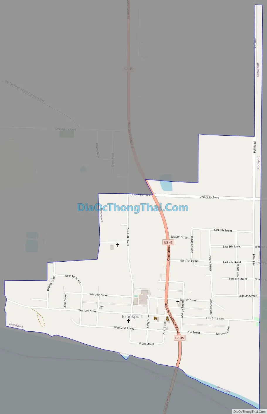
Brookport Road Map
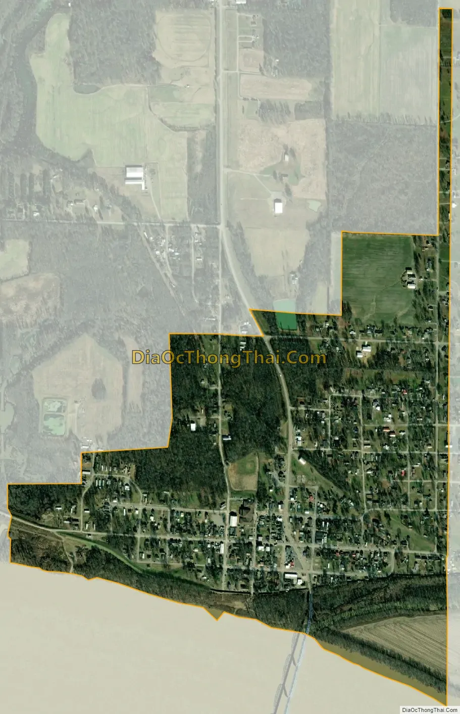
Brookport city Satellite Map
Geography
Brookport is located in southeastern Massac County at 37°7′30″N 88°37′38″W / 37.12500°N 88.62722°W / 37.12500; -88.62722 (37.125056, -88.627218). It is situated on the north bank of the Ohio River, opposite Paducah, Kentucky. U.S. Route 45 traverses the city, connecting it with Paducah across the river to the south and Interstate 24 near Metropolis to the northwest. US 45 crosses the river on the Brookport Bridge, which is officially known as the “Irvin S. Cobb Bridge” in honor of author Irvin S. Cobb, who was born in Paducah. The two-lane steel deck truss bridge was completed in 1929. Ohio River Lock and Dam Number 52, operated by the United States Army Corps of Engineers, was located 1 mile (1.6 km) downstream from Brookport.
According to the U.S. Census Bureau, Brookport has a total area of 0.66 square miles (1.71 km), of which 0.01 square miles (0.03 km), or 1.06%, are water.
See also
Map of Illinois State and its subdivision:- Adams
- Alexander
- Bond
- Boone
- Brown
- Bureau
- Calhoun
- Carroll
- Cass
- Champaign
- Christian
- Clark
- Clay
- Clinton
- Coles
- Cook
- Crawford
- Cumberland
- De Kalb
- De Witt
- Douglas
- Dupage
- Edgar
- Edwards
- Effingham
- Fayette
- Ford
- Franklin
- Fulton
- Gallatin
- Greene
- Grundy
- Hamilton
- Hancock
- Hardin
- Henderson
- Henry
- Iroquois
- Jackson
- Jasper
- Jefferson
- Jersey
- Jo Daviess
- Johnson
- Kane
- Kankakee
- Kendall
- Knox
- La Salle
- Lake
- Lake Michigan
- Lawrence
- Lee
- Livingston
- Logan
- Macon
- Macoupin
- Madison
- Marion
- Marshall
- Mason
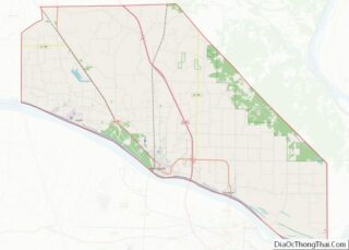
- Massac
- McDonough
- McHenry
- McLean
- Menard
- Mercer
- Monroe
- Montgomery
- Morgan
- Moultrie
- Ogle
- Peoria
- Perry
- Piatt
- Pike
- Pope
- Pulaski
- Putnam
- Randolph
- Richland
- Rock Island
- Saint Clair
- Saline
- Sangamon
- Schuyler
- Scott
- Shelby
- Stark
- Stephenson
- Tazewell
- Union
- Vermilion
- Wabash
- Warren
- Washington
- Wayne
- White
- Whiteside
- Will
- Williamson
- Winnebago
- Woodford
- Alabama
- Alaska
- Arizona
- Arkansas
- California
- Colorado
- Connecticut
- Delaware
- District of Columbia
- Florida
- Georgia
- Hawaii
- Idaho
- Illinois
- Indiana
- Iowa
- Kansas
- Kentucky
- Louisiana
- Maine
- Maryland
- Massachusetts
- Michigan
- Minnesota
- Mississippi
- Missouri
- Montana
- Nebraska
- Nevada
- New Hampshire
- New Jersey
- New Mexico
- New York
- North Carolina
- North Dakota
- Ohio
- Oklahoma
- Oregon
- Pennsylvania
- Rhode Island
- South Carolina
- South Dakota
- Tennessee
- Texas
- Utah
- Vermont
- Virginia
- Washington
- West Virginia
- Wisconsin
- Wyoming