Broughton is a village in Hamilton County, Illinois, United States. The population was 194 at the 2010 census. It is part of the Mount Vernon Micropolitan Statistical Area.
The village was founded in the 1720s as Saint Philippe du Grand Marais (called “St. Philippe”) by French coureurs de bois. In the early 19th century, it was known as “Rectorville” for nearby Rector Creek, which had been named for federal land surveyor John Rector.
| Name: | Broughton village |
|---|---|
| LSAD Code: | 47 |
| LSAD Description: | village (suffix) |
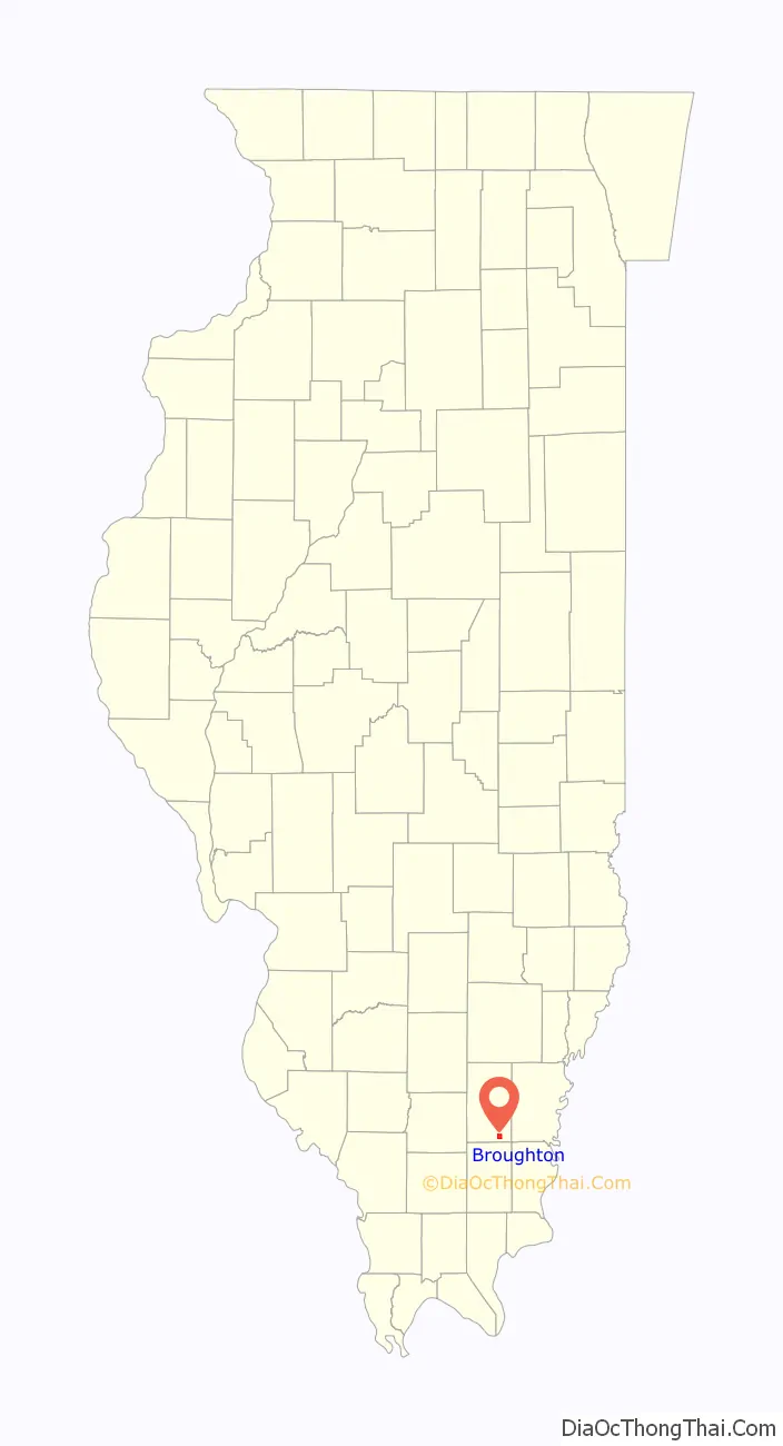
| State: | Illinois |
| County: | Hamilton County |
| Elevation: | 377 ft (115 m) |
| Total Area: | 1.89 sq mi (4.91 km²) |
| Land Area: | 1.89 sq mi (4.89 km²) |
| Water Area: | 0.00 sq mi (0.01 km²) |
| Total Population: | 185 |
| Population Density: | 97.88/sq mi (37.80/km²) |
| Area code: | 618 |
| FIPS code: | 1708875 |
Online Interactive Map
Click on ![]() to view map in "full screen" mode.
to view map in "full screen" mode.
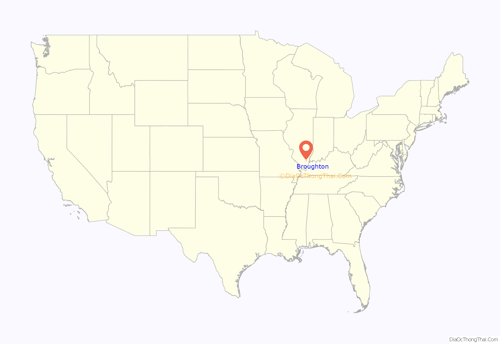
Broughton location map. Where is Broughton village?
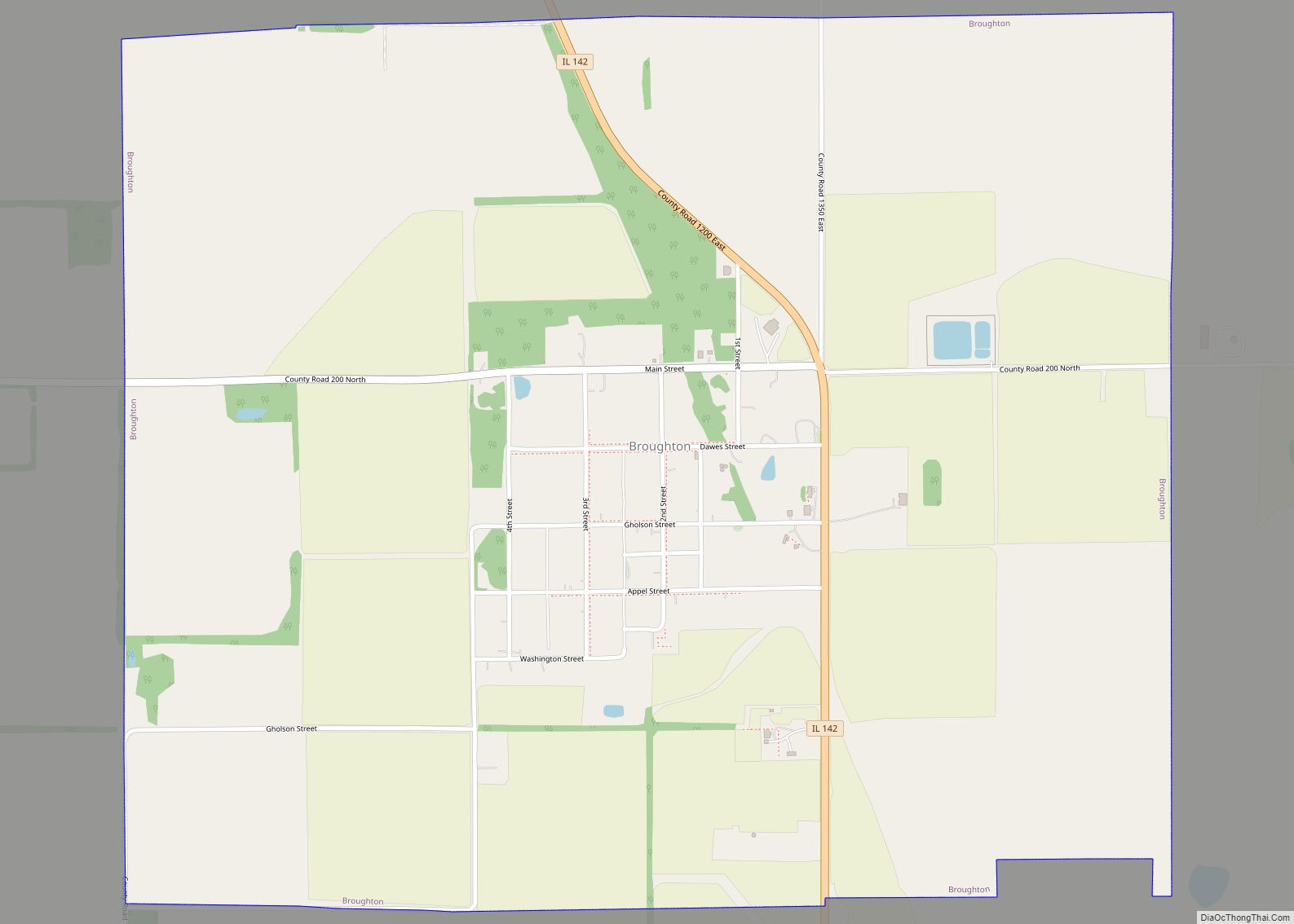
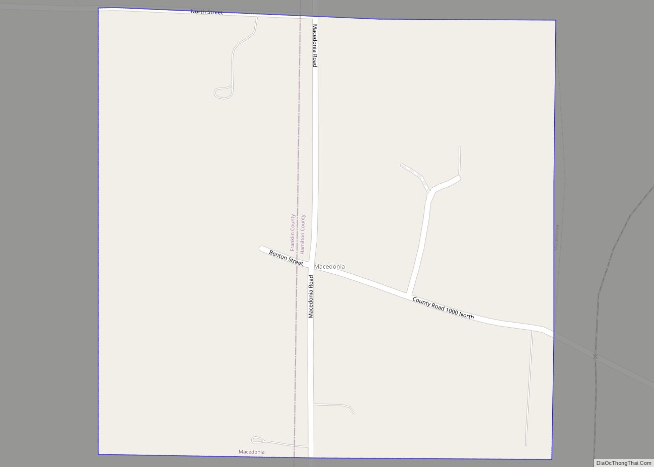
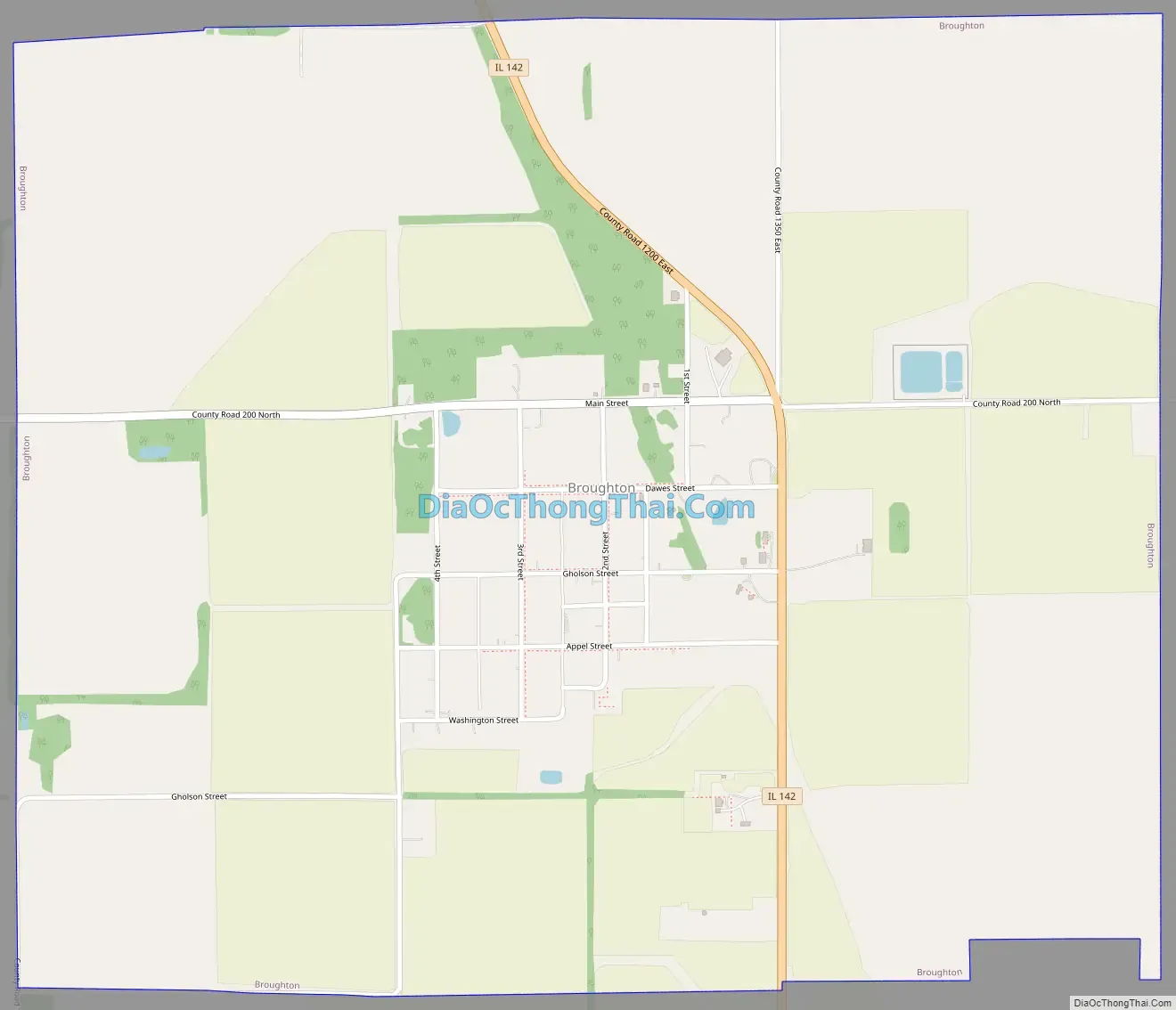
Broughton Road Map
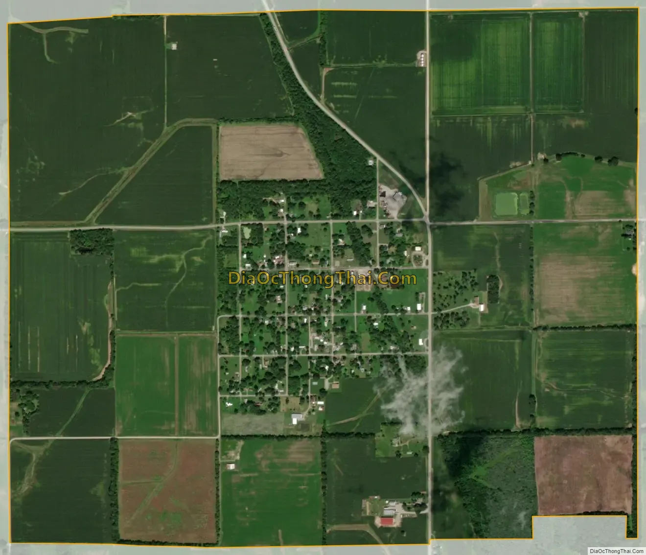
Broughton city Satellite Map
Geography
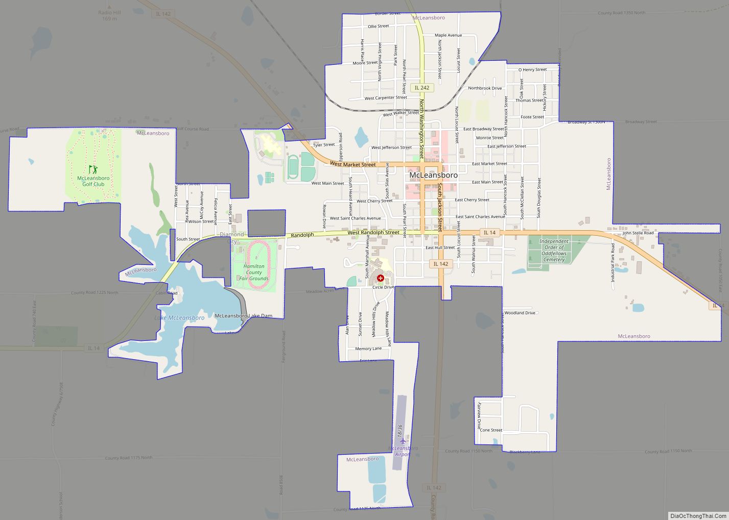
Illinois Route 142 passes through the village, leading north-northwest 12 miles (19 km) to McLeansboro, the county seat, and south 9 miles (14 km) to Eldorado.
According to the 2010 census, Broughton has a total area of 1.995 square miles (5.17 km), of which 1.99 square miles (5.15 km) (or 99.75%) is land and 0.005 square miles (0.01 km) (or 0.25%) is water.
See also
Map of Illinois State and its subdivision:- Adams
- Alexander
- Bond
- Boone
- Brown
- Bureau
- Calhoun
- Carroll
- Cass
- Champaign
- Christian
- Clark
- Clay
- Clinton
- Coles
- Cook
- Crawford
- Cumberland
- De Kalb
- De Witt
- Douglas
- Dupage
- Edgar
- Edwards
- Effingham
- Fayette
- Ford
- Franklin
- Fulton
- Gallatin
- Greene
- Grundy
- Hamilton
- Hancock
- Hardin
- Henderson
- Henry
- Iroquois
- Jackson
- Jasper
- Jefferson
- Jersey
- Jo Daviess
- Johnson
- Kane
- Kankakee
- Kendall
- Knox
- La Salle
- Lake
- Lake Michigan
- Lawrence
- Lee
- Livingston
- Logan
- Macon
- Macoupin
- Madison
- Marion
- Marshall
- Mason
- Massac
- McDonough
- McHenry
- McLean
- Menard
- Mercer
- Monroe
- Montgomery
- Morgan
- Moultrie
- Ogle
- Peoria
- Perry
- Piatt
- Pike
- Pope
- Pulaski
- Putnam
- Randolph
- Richland
- Rock Island
- Saint Clair
- Saline
- Sangamon
- Schuyler
- Scott
- Shelby
- Stark
- Stephenson
- Tazewell
- Union
- Vermilion
- Wabash
- Warren
- Washington
- Wayne
- White
- Whiteside
- Will
- Williamson
- Winnebago
- Woodford
- Alabama
- Alaska
- Arizona
- Arkansas
- California
- Colorado
- Connecticut
- Delaware
- District of Columbia
- Florida
- Georgia
- Hawaii
- Idaho
- Illinois
- Indiana
- Iowa
- Kansas
- Kentucky
- Louisiana
- Maine
- Maryland
- Massachusetts
- Michigan
- Minnesota
- Mississippi
- Missouri
- Montana
- Nebraska
- Nevada
- New Hampshire
- New Jersey
- New Mexico
- New York
- North Carolina
- North Dakota
- Ohio
- Oklahoma
- Oregon
- Pennsylvania
- Rhode Island
- South Carolina
- South Dakota
- Tennessee
- Texas
- Utah
- Vermont
- Virginia
- Washington
- West Virginia
- Wisconsin
- Wyoming