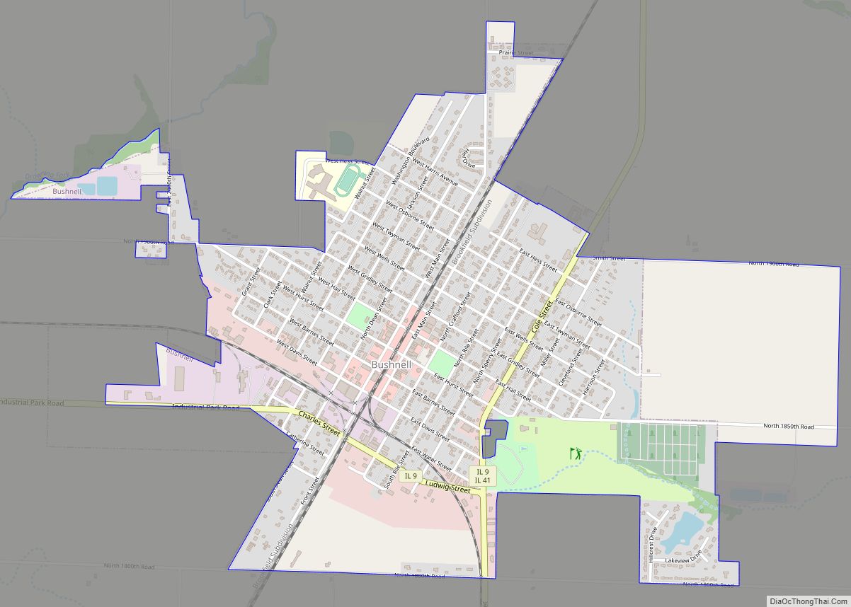
Bushnell is a city in McDonough County, Illinois, United States. The population was 2,718 at the 2020 census, down from 3,117 in 2010.
| Name: | Bushnell city |
|---|---|
| LSAD Code: | 25 |
| LSAD Description: | city (suffix) |
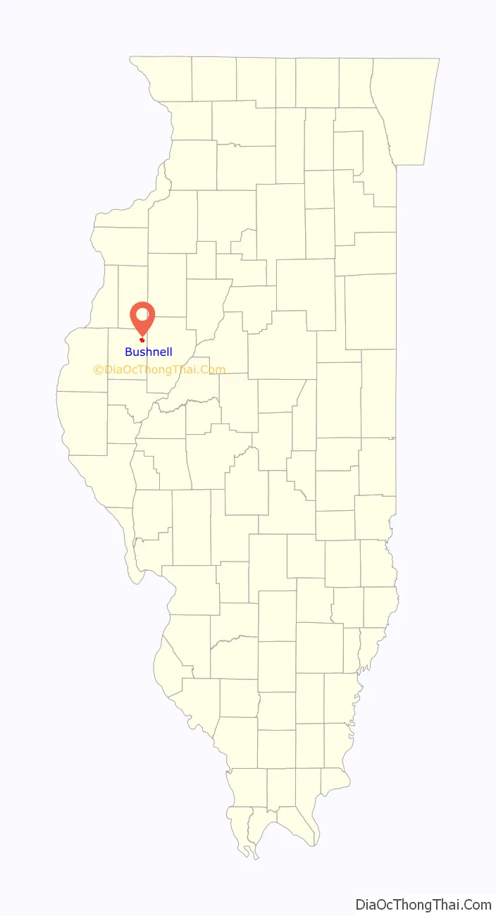
| State: | Illinois |
| County: | McDonough County |
| Elevation: | 646 ft (197 m) |
| Total Area: | 2.13 sq mi (5.50 km²) |
| Land Area: | 2.12 sq mi (5.48 km²) |
| Water Area: | 0.01 sq mi (0.02 km²) |
| Total Population: | 2,718 |
| Population Density: | 1,283.89/sq mi (495.62/km²) |
| ZIP code: | 61422 |
| Area code: | 309 |
| FIPS code: | 1710110 |
| Website: | bushnell.illinois.gov |
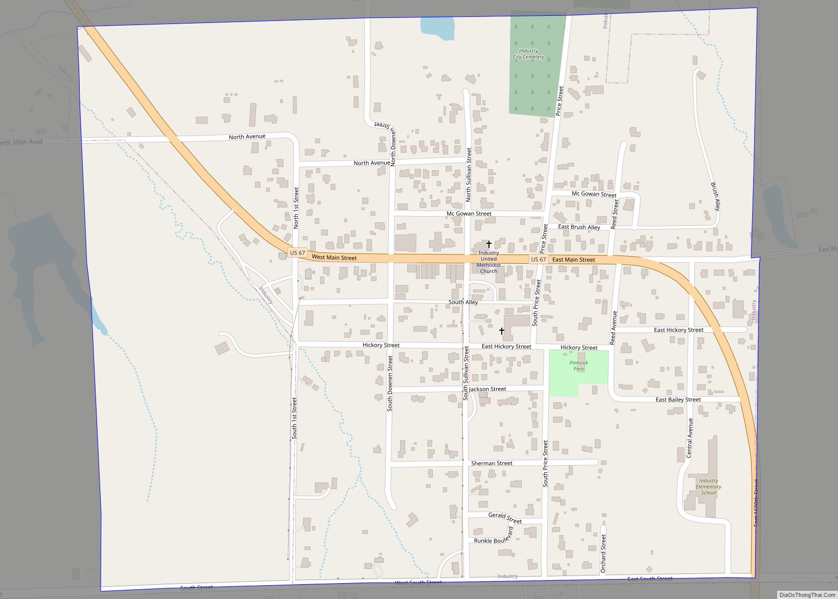
Online Interactive Map
Click on ![]() to view map in "full screen" mode.
to view map in "full screen" mode.
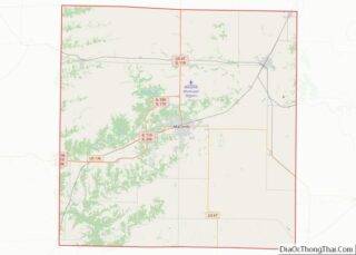
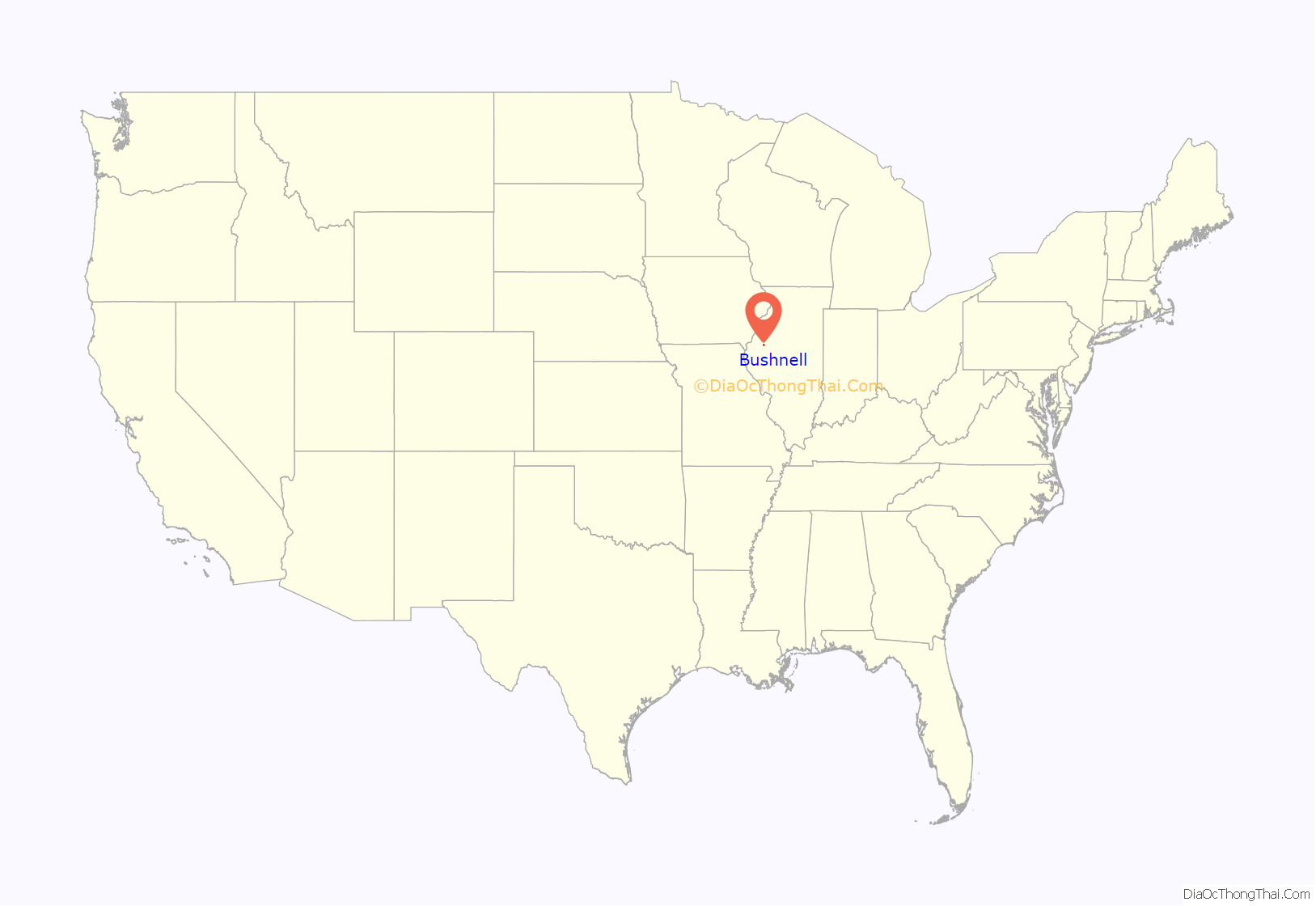
Bushnell location map. Where is Bushnell city?
History
The town was founded in 1854 when the Northern Cross Railroad built a line through the area. Nehemiah Bushnell was the president of the railroad, and townspeople honored him by naming their community after him. The railroad later became part of the Chicago, Burlington and Quincy Railroad, which continues to operate through Bushnell under the name Burlington Northern Santa Fe. Bushnell was also served by the Toledo, Peoria and Western Railway, now the Keokuk Junction Railway. Amtrak trains pass through the city but do not stop.
The Nagel Brothers of Bushnell were the first to invent a process of making rolled oats without having to steam the oats. Up until this time, the oats were first steamed to separate the groat from the hull. The patent for this new process was later sold to the Quaker Oats Company.
Bushnell is home to a Vaughan & Bushnell hammer factory and to Kitchen Cooked Potato Chips.
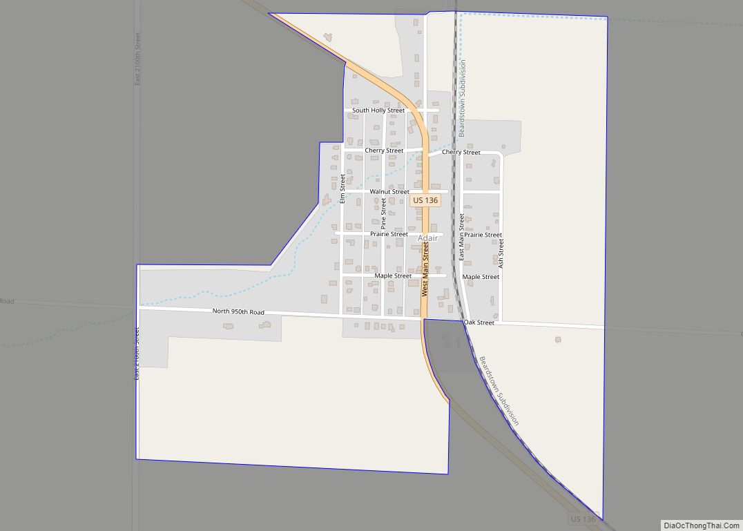
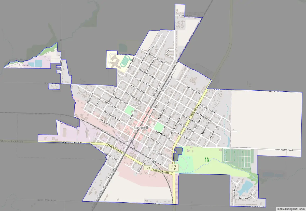
Bushnell Road Map
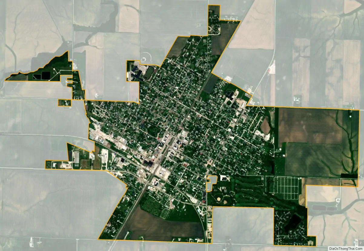
Bushnell city Satellite Map
Geography
Bushnell is located in northeastern McDonough County. Illinois state routes 9 and 41 pass through the city center as Cole Street. Route 9 goes west out of the city on Charles Street, leading 19 miles (31 km) to Blandinsville, while to the east it leads 27 miles (43 km) to Canton. Route 41 leads north 31 miles (50 km) to Galesburg and south 7 miles (11 km) to its terminus at U.S. Route 136. Macomb, the McDonough county seat, is 14 miles (23 km) southwest of Bushnell.
According to the U.S. Census Bureau, Bushnell has a total area of 2.13 square miles (5.52 km), of which 0.01 square miles (0.03 km), or 0.38%, are water. The west side of the city drains to a south-flowing tributary of the East Fork of the La Moine River, while the east side drains to Shaw Creek, a southeast-flowing tributary of the Spoon River. The city is part of the Illinois River watershed.
See also
Map of Illinois State and its subdivision:- Adams
- Alexander
- Bond
- Boone
- Brown
- Bureau
- Calhoun
- Carroll
- Cass
- Champaign
- Christian
- Clark
- Clay
- Clinton
- Coles
- Cook
- Crawford
- Cumberland
- De Kalb
- De Witt
- Douglas
- Dupage
- Edgar
- Edwards
- Effingham
- Fayette
- Ford
- Franklin
- Fulton
- Gallatin
- Greene
- Grundy
- Hamilton
- Hancock
- Hardin
- Henderson
- Henry
- Iroquois
- Jackson
- Jasper
- Jefferson
- Jersey
- Jo Daviess
- Johnson
- Kane
- Kankakee
- Kendall
- Knox
- La Salle
- Lake
- Lake Michigan
- Lawrence
- Lee
- Livingston
- Logan
- Macon
- Macoupin
- Madison
- Marion
- Marshall
- Mason
- Massac
- McDonough
- McHenry
- McLean
- Menard
- Mercer
- Monroe
- Montgomery
- Morgan
- Moultrie
- Ogle
- Peoria
- Perry
- Piatt
- Pike
- Pope
- Pulaski
- Putnam
- Randolph
- Richland
- Rock Island
- Saint Clair
- Saline
- Sangamon
- Schuyler
- Scott
- Shelby
- Stark
- Stephenson
- Tazewell
- Union
- Vermilion
- Wabash
- Warren
- Washington
- Wayne
- White
- Whiteside
- Will
- Williamson
- Winnebago
- Woodford
- Alabama
- Alaska
- Arizona
- Arkansas
- California
- Colorado
- Connecticut
- Delaware
- District of Columbia
- Florida
- Georgia
- Hawaii
- Idaho
- Illinois
- Indiana
- Iowa
- Kansas
- Kentucky
- Louisiana
- Maine
- Maryland
- Massachusetts
- Michigan
- Minnesota
- Mississippi
- Missouri
- Montana
- Nebraska
- Nevada
- New Hampshire
- New Jersey
- New Mexico
- New York
- North Carolina
- North Dakota
- Ohio
- Oklahoma
- Oregon
- Pennsylvania
- Rhode Island
- South Carolina
- South Dakota
- Tennessee
- Texas
- Utah
- Vermont
- Virginia
- Washington
- West Virginia
- Wisconsin
- Wyoming