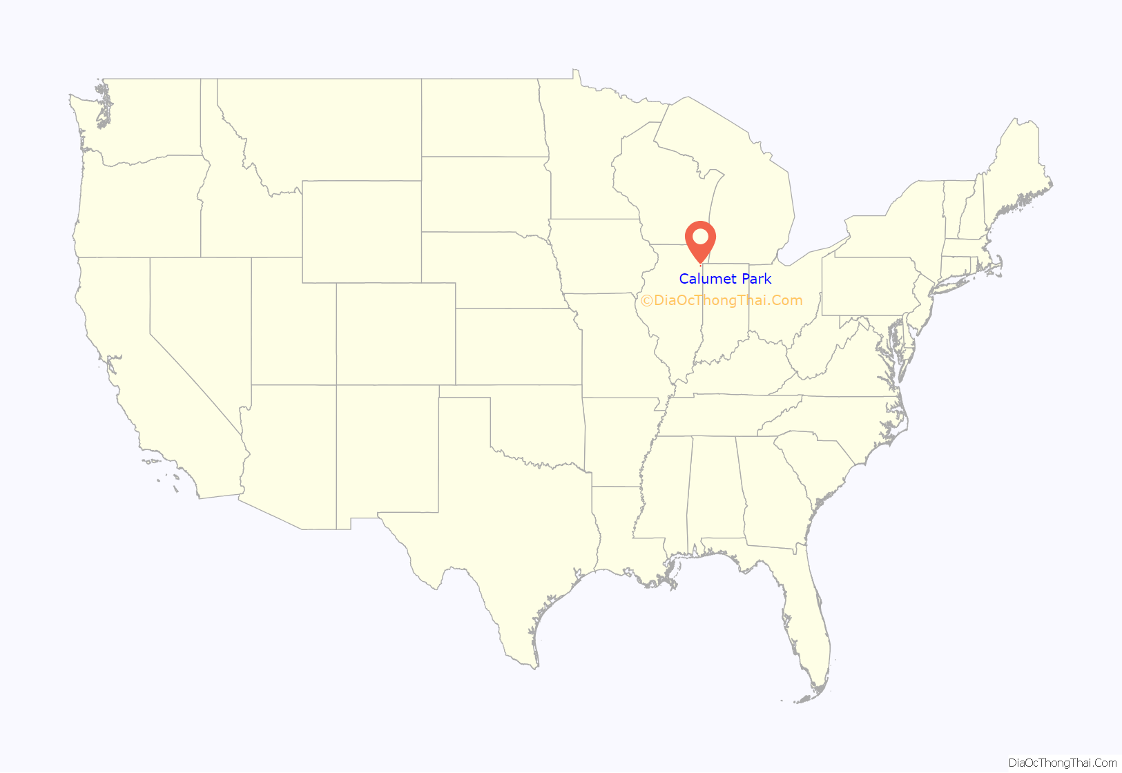
Calumet Park (formerly DeYoung) is a village in Cook County, Illinois. The population was 7,025 at the 2020 census.
On May 13, 2010, Mayor Joseph DuPar and the Village Board approved renaming 127th Street as Obama Drive, in honor of the 44th President of the United States. On August 21, 2010, State Senator Emil Jones III read a proclamation of the Illinois Senate in honor of the dedication on the same date. This road became the first Obama Drive in the country and the first road named after President Barack Obama in his home state of Illinois.
| Name: | Calumet Park village |
|---|---|
| LSAD Code: | 47 |
| LSAD Description: | village (suffix) |
| State: | Illinois |
| County: | Cook County |
| Incorporated: | 1912 |
| Total Area: | 1.15 sq mi (2.99 km²) |
| Land Area: | 1.12 sq mi (2.89 km²) |
| Water Area: | 0.04 sq mi (0.09 km²) 3.48% |
| Total Population: | 7,025 |
| Population Density: | 6,289.17/sq mi (2,427.87/km²) |
| Area code: | 708 |
| FIPS code: | 1710513 |
| Website: | calumetparkvillage.org |
Online Interactive Map
Click on ![]() to view map in "full screen" mode.
to view map in "full screen" mode.
Calumet Park location map. Where is Calumet Park village?
Calumet Park Road Map
Calumet Park city Satellite Map
Geography
Calumet Park is located at 41°39′56″N 87°39′29″W / 41.66556°N 87.65806°W / 41.66556; -87.65806 (41.665602, -87.658139).
According to the 2021 census gazetteer files, Calumet Park has a total area of 1.15 square miles (2.98 km), of which 1.12 square miles (2.90 km) (or 96.88%) is land and 0.04 square miles (0.10 km) (or 3.12%) is water.
See also
Map of Illinois State and its subdivision:- Adams
- Alexander
- Bond
- Boone
- Brown
- Bureau
- Calhoun
- Carroll
- Cass
- Champaign
- Christian
- Clark
- Clay
- Clinton
- Coles
- Cook
- Crawford
- Cumberland
- De Kalb
- De Witt
- Douglas
- Dupage
- Edgar
- Edwards
- Effingham
- Fayette
- Ford
- Franklin
- Fulton
- Gallatin
- Greene
- Grundy
- Hamilton
- Hancock
- Hardin
- Henderson
- Henry
- Iroquois
- Jackson
- Jasper
- Jefferson
- Jersey
- Jo Daviess
- Johnson
- Kane
- Kankakee
- Kendall
- Knox
- La Salle
- Lake
- Lake Michigan
- Lawrence
- Lee
- Livingston
- Logan
- Macon
- Macoupin
- Madison
- Marion
- Marshall
- Mason
- Massac
- McDonough
- McHenry
- McLean
- Menard
- Mercer
- Monroe
- Montgomery
- Morgan
- Moultrie
- Ogle
- Peoria
- Perry
- Piatt
- Pike
- Pope
- Pulaski
- Putnam
- Randolph
- Richland
- Rock Island
- Saint Clair
- Saline
- Sangamon
- Schuyler
- Scott
- Shelby
- Stark
- Stephenson
- Tazewell
- Union
- Vermilion
- Wabash
- Warren
- Washington
- Wayne
- White
- Whiteside
- Will
- Williamson
- Winnebago
- Woodford
- Alabama
- Alaska
- Arizona
- Arkansas
- California
- Colorado
- Connecticut
- Delaware
- District of Columbia
- Florida
- Georgia
- Hawaii
- Idaho
- Illinois
- Indiana
- Iowa
- Kansas
- Kentucky
- Louisiana
- Maine
- Maryland
- Massachusetts
- Michigan
- Minnesota
- Mississippi
- Missouri
- Montana
- Nebraska
- Nevada
- New Hampshire
- New Jersey
- New Mexico
- New York
- North Carolina
- North Dakota
- Ohio
- Oklahoma
- Oregon
- Pennsylvania
- Rhode Island
- South Carolina
- South Dakota
- Tennessee
- Texas
- Utah
- Vermont
- Virginia
- Washington
- West Virginia
- Wisconsin
- Wyoming


