Campton Hills is a village in Kane County, Illinois and is a western suburb of Chicago. The population of the village is 11,131 per the 2010 US Census.
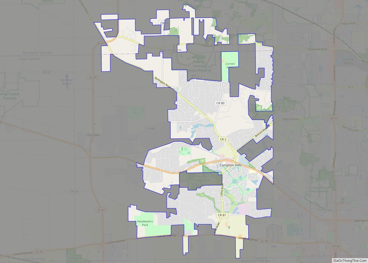
The village was established on May 14, 2007, by incorporating 20.3 square miles of Campton and Plato townships, including the unincorporated community of Wasco. The incorporation followed an April 17 referendum in which 55 percent of voters approved incorporation. Several areas on the village’s boundaries disconnected within the first year of incorporation, taking advantage of less restrictive requirements imposed by state statute during that period. As of August 2009, the village comprises 17.16 square miles (44.4 km).
The village is served by three school districts. The majority is served by St. Charles Community Unit School District 303 while the northern end is served by Central Community Unit School District 301. Kaneland Community Unit School District 302 serves the far southwest portion of the village.
The first president and one of the founders of the village was Patsy Smith. Due to confusion over the requirements of Illinois election laws, an opposition group filed nominating petitions for a primary election to be held in February 2015; in previous municipal elections it had been believed that a primary was not required for the non-partisan general election. Over the objections of Smith and her supporters, a Kane County judge affirmed the requirement for a primary. Forced to run as a write-in candidate in the general election, Smith lost in her bid for re-election to Harry Blecker, an incumbent village trustee who had appeared on the primary ballot as a candidate for village president.
| Name: | Campton Hills village |
|---|---|
| LSAD Code: | 47 |
| LSAD Description: | village (suffix) |
| State: | Illinois |
| County: | Kane County |
| Total Area: | 16.97 sq mi (43.95 km²) |
| Land Area: | 16.89 sq mi (43.75 km²) |
| Water Area: | 0.08 sq mi (0.21 km²) |
| Total Population: | 10,885 |
| Population Density: | 644.46/sq mi (248.83/km²) |
| Area code: | 630 & 847 |
| FIPS code: | 1710906 |
| Website: | villageofcamptonhills.org |
Online Interactive Map
Click on ![]() to view map in "full screen" mode.
to view map in "full screen" mode.
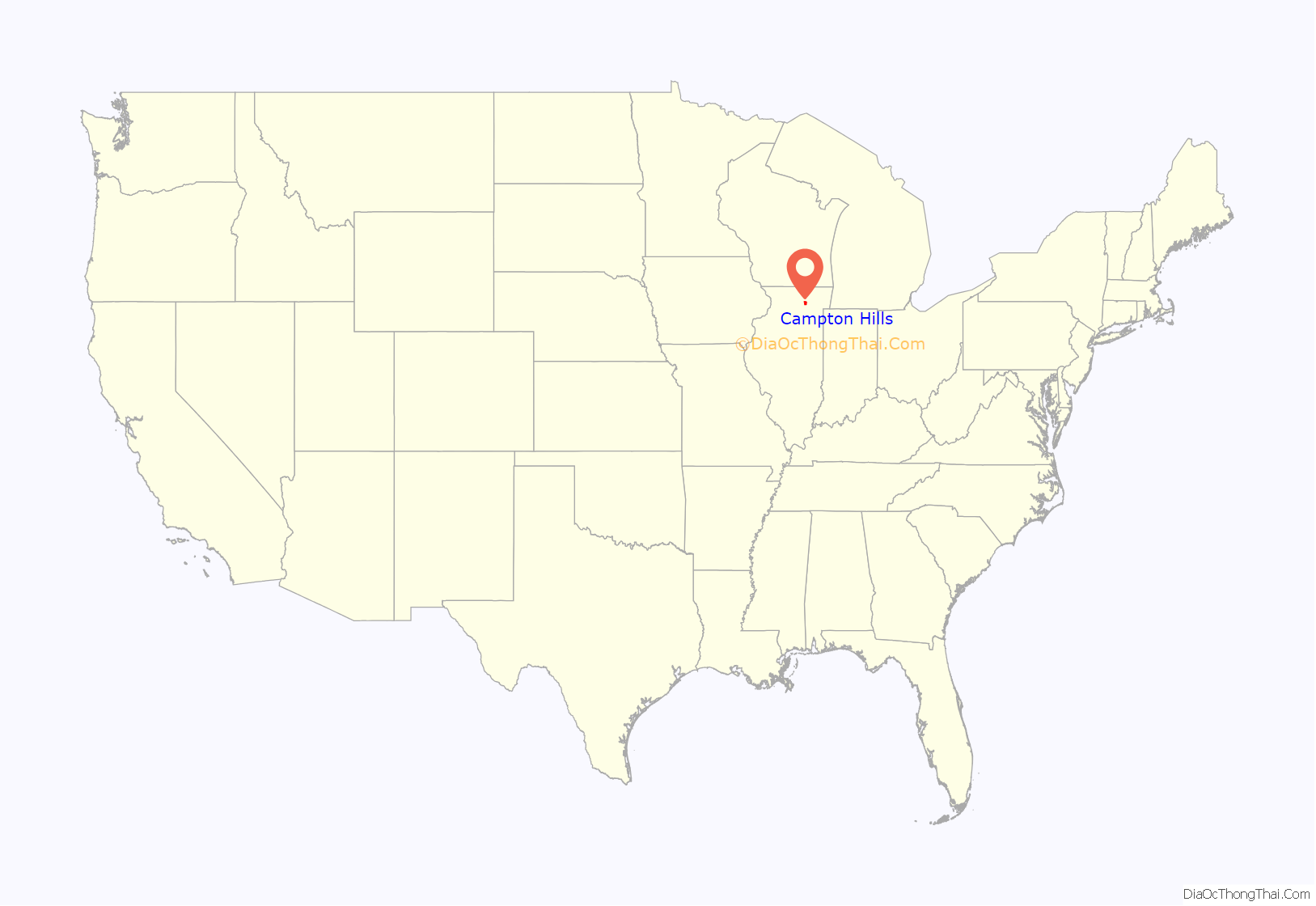
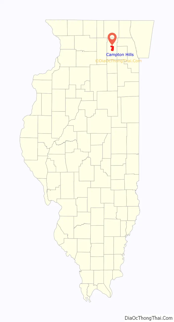
Campton Hills location map. Where is Campton Hills village?
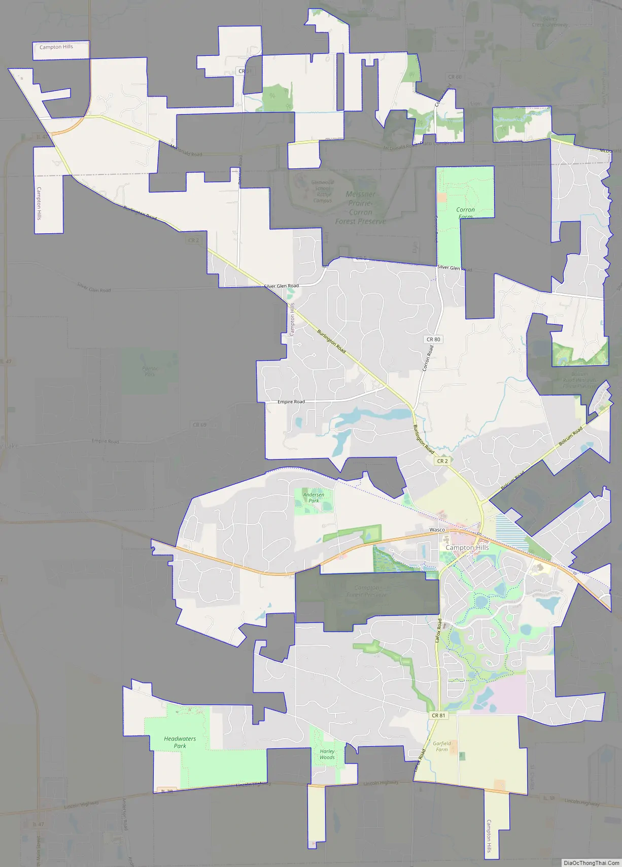
Campton Hills Road Map
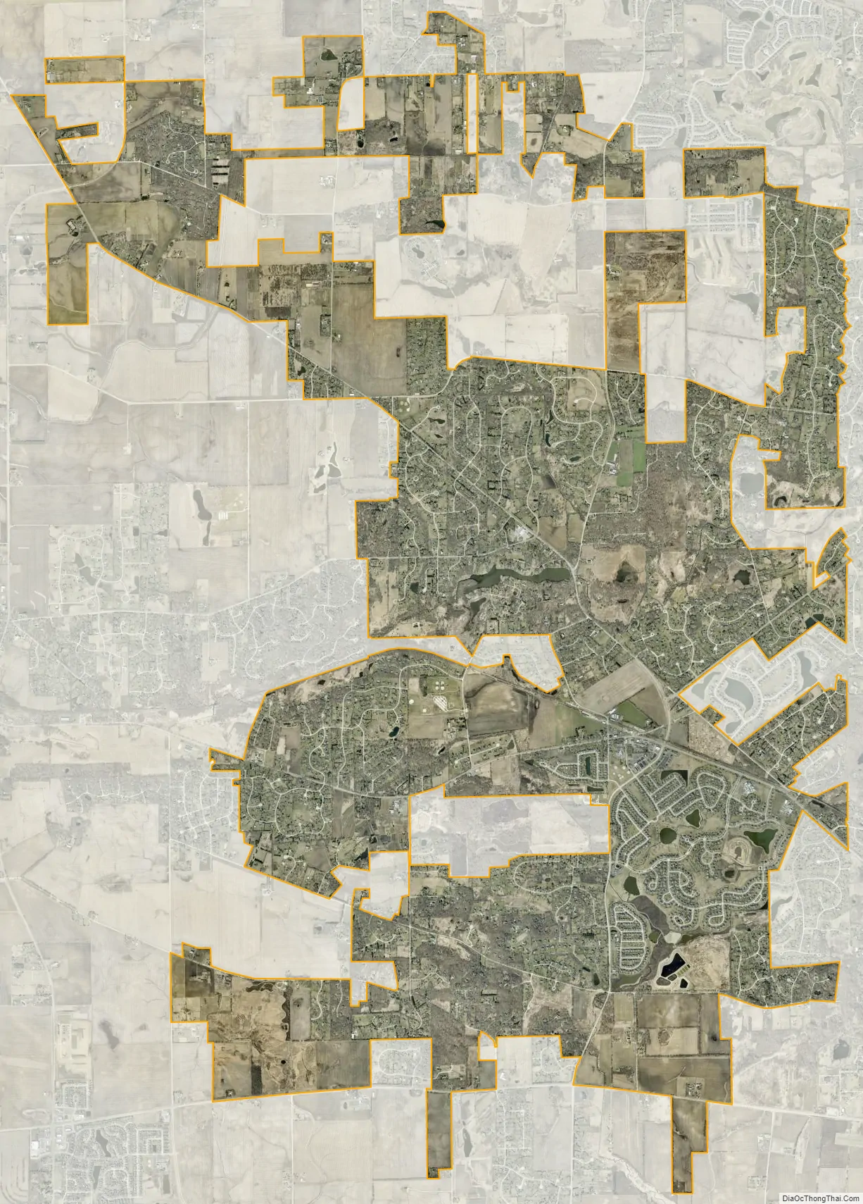
Campton Hills city Satellite Map
Geography
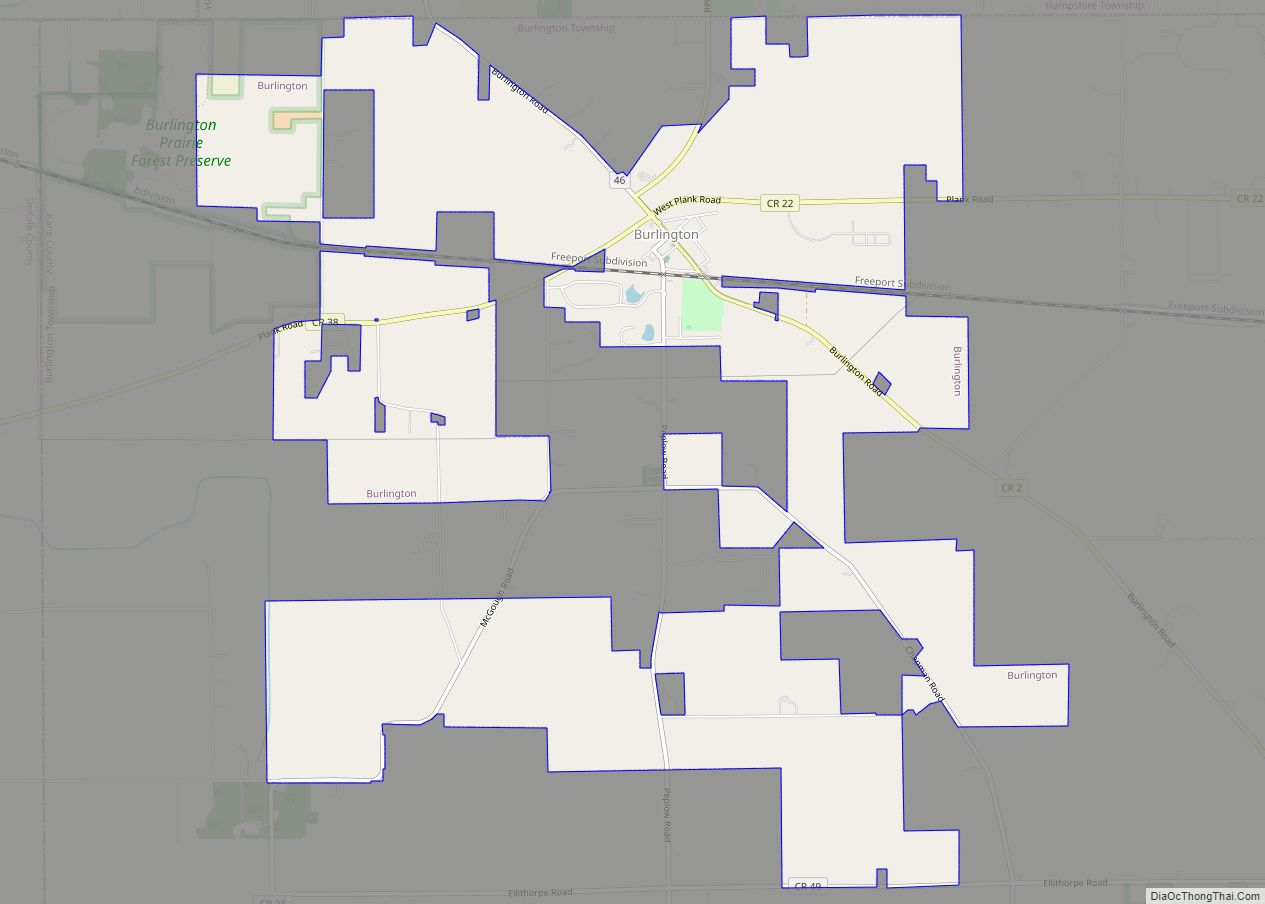
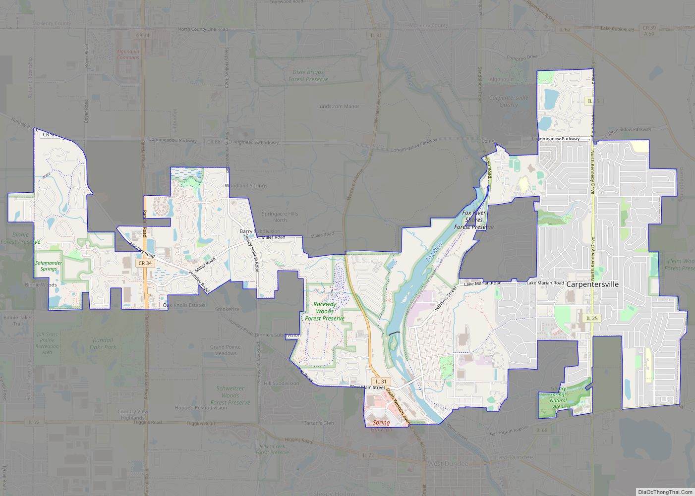
Campton Hills is bordered by Saint Charles to the east, Lily Lake to the west, Elburn to the south and Elgin to the north.
According to the 2010 census, Campton Hills has a total area of 16.992 square miles (44.01 km), of which 16.91 square miles (43.80 km) (or 99.52%) is land and 0.082 square miles (0.21 km) (or 0.48%) is water.
See also
Map of Illinois State and its subdivision:- Adams
- Alexander
- Bond
- Boone
- Brown
- Bureau
- Calhoun
- Carroll
- Cass
- Champaign
- Christian
- Clark
- Clay
- Clinton
- Coles
- Cook
- Crawford
- Cumberland
- De Kalb
- De Witt
- Douglas
- Dupage
- Edgar
- Edwards
- Effingham
- Fayette
- Ford
- Franklin
- Fulton
- Gallatin
- Greene
- Grundy
- Hamilton
- Hancock
- Hardin
- Henderson
- Henry
- Iroquois
- Jackson
- Jasper
- Jefferson
- Jersey
- Jo Daviess
- Johnson
- Kane
- Kankakee
- Kendall
- Knox
- La Salle
- Lake
- Lake Michigan
- Lawrence
- Lee
- Livingston
- Logan
- Macon
- Macoupin
- Madison
- Marion
- Marshall
- Mason
- Massac
- McDonough
- McHenry
- McLean
- Menard
- Mercer
- Monroe
- Montgomery
- Morgan
- Moultrie
- Ogle
- Peoria
- Perry
- Piatt
- Pike
- Pope
- Pulaski
- Putnam
- Randolph
- Richland
- Rock Island
- Saint Clair
- Saline
- Sangamon
- Schuyler
- Scott
- Shelby
- Stark
- Stephenson
- Tazewell
- Union
- Vermilion
- Wabash
- Warren
- Washington
- Wayne
- White
- Whiteside
- Will
- Williamson
- Winnebago
- Woodford
- Alabama
- Alaska
- Arizona
- Arkansas
- California
- Colorado
- Connecticut
- Delaware
- District of Columbia
- Florida
- Georgia
- Hawaii
- Idaho
- Illinois
- Indiana
- Iowa
- Kansas
- Kentucky
- Louisiana
- Maine
- Maryland
- Massachusetts
- Michigan
- Minnesota
- Mississippi
- Missouri
- Montana
- Nebraska
- Nevada
- New Hampshire
- New Jersey
- New Mexico
- New York
- North Carolina
- North Dakota
- Ohio
- Oklahoma
- Oregon
- Pennsylvania
- Rhode Island
- South Carolina
- South Dakota
- Tennessee
- Texas
- Utah
- Vermont
- Virginia
- Washington
- West Virginia
- Wisconsin
- Wyoming