Chatsworth is an incorporated town in Livingston County, Illinois, United States. The population was 1,332 at the 2020 census.
| Name: | Chatsworth town |
|---|---|
| LSAD Code: | 43 |
| LSAD Description: | town (suffix) |
| State: | Illinois |
| County: | Livingston County |
| Incorporated: | March 8, 1867 (1867-03-08) |
| Elevation: | 736 ft (224 m) |
| Total Area: | 2.69 sq mi (6.96 km²) |
| Land Area: | 2.68 sq mi (6.95 km²) |
| Water Area: | 0.01 sq mi (0.02 km²) |
| Total Population: | 1,185 |
| Population Density: | 441.83/sq mi (170.62/km²) |
| ZIP code: | 60921 |
| Area code: | 815 & 779 |
| FIPS code: | 1712710 |
| Website: | www.chatsworthil.gov |
Online Interactive Map
Click on ![]() to view map in "full screen" mode.
to view map in "full screen" mode.
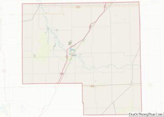
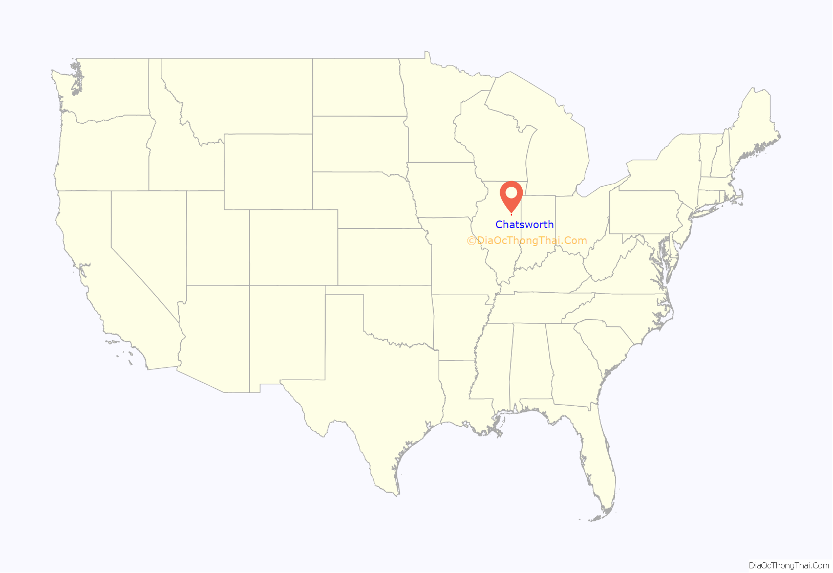
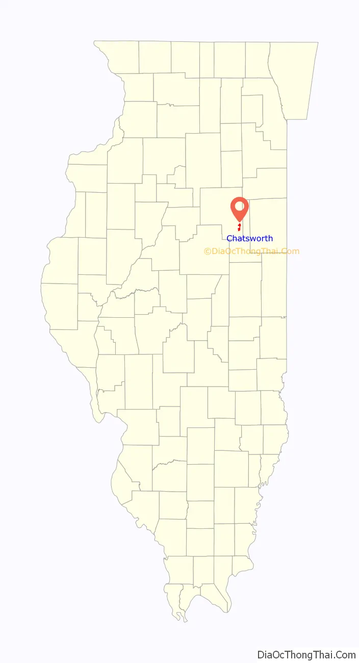
Chatsworth location map. Where is Chatsworth town?
History
Founding
Chatsworth was laid out by Zeno Secor (1809 – 1875) and Cornelia Gilman on June 8, 1859. Both founders were from New York. Secor was a member of the Board of Directors of the company that was building the Peoria and Oquawka Railroad. He was a noted civil engineer and marine engine designer, who was involved with a number of railroads. Secor was later president of the Toledo Peoria and Western Railroad. Secor is best known for building a number of ironclad warships for the Union Navy. Cornelia Gilman was perhaps the person of that name who was the wife of Samuel Gilman, another director of the firm, and the man who gave his name to the nearby town of Gilman. The town of Chatsworth is perhaps named for Chatsworth House, the home of the Duke of Devonshire. Trains were running along the Peoria and Oquawka Railroad before the town was platted. The railroad soon became the Toledo, Peoria and Western.
Original design
Chatsworth was surveyed by Nelson Buck, the County Surveyor of Livingston County. However, the plan used was virtually identical to that used at Fairbury, including the street names, and very similar to that used at Gridley, El Paso and other places along the Peoria and Oquawka Railroad. This suggests that the railroad supplied the plan from which Buck worked. Like these other towns, Chatsworth was centered on a long narrow depot grounds rather than a public square. The plat of the original town was exceptionally large, covering 160 acres (0.65 km) and consisting of 42 blocks, most located north of the railroad. The early depot was on the south side of the tracks. Block 16 of the plat was not divided into lots, and 1878 was listed as the City Park. It was eventually planted with over 500 maple trees, and a pavilion was added in 1962.
Growth
The first building was a 1+1⁄2-story frame structure used as both a residence and store, which was built by Charles D. Brooks and Truman Brockway of New York. Brooks was the first postmaster and the first grain dealer. Early growth of the town was very rapid, and by 1870 Chatsworth had 999 people. The first hotel was the Cottage House, built by Samuel Patton. Soon a newspaper, the Plaindealer, was being published. In 1879 a second railroad, the Kankakee and Southwestern, passed through the town and was given a right of way down Second Street. In 1887 the town rendered aid in the train accident known as the Great Chatsworth Train Wreck. Telephone service came in 1883, and an electric light plant was built in 1894. In March 1924 seventy to one hundred men arrived in town to work on a paved highway, at first known as the Corn Belt Trail, which soon became Route 24 and formed an important east-west route across Illinois.
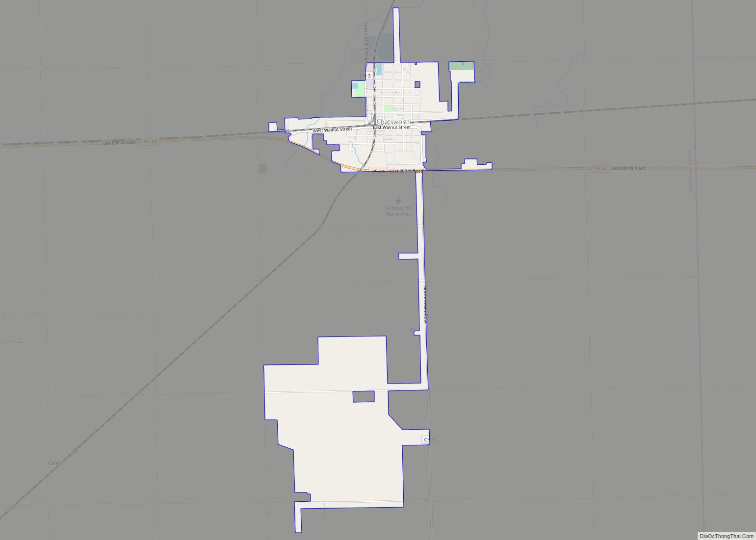
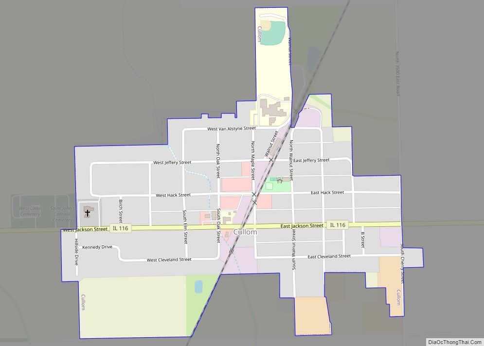
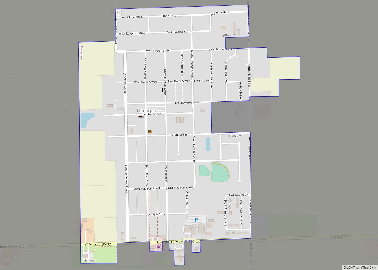
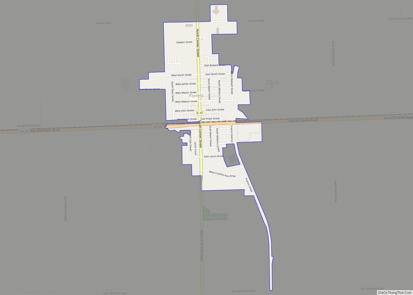
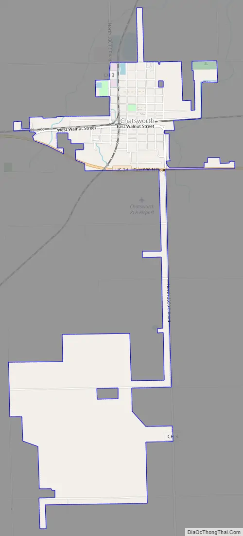
Chatsworth Road Map
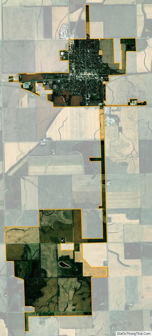
Chatsworth city Satellite Map
Geography
Chatsworth is located in southeastern Livingston County at 40°45′15″N 88°17′35″W / 40.75417°N 88.29306°W / 40.75417; -88.29306 (40.754256, -88.293023). The town is in northern Chatsworth Township, with a small panhandle extending north into Charlotte Township. The town limits also extend south from the town center and include a large undeveloped area in central Chatsworth Township.
U.S. Route 24 runs through the town south of the town center, leading east 15 miles (24 km) to Interstate 57 at Gilman and west 23 miles (37 km) to Interstate 55 at Chenoa.
According to the 2020 census, Chatsworth has a total area of 2.8 square miles (7.25 km), all land.
See also
Map of Illinois State and its subdivision:- Adams
- Alexander
- Bond
- Boone
- Brown
- Bureau
- Calhoun
- Carroll
- Cass
- Champaign
- Christian
- Clark
- Clay
- Clinton
- Coles
- Cook
- Crawford
- Cumberland
- De Kalb
- De Witt
- Douglas
- Dupage
- Edgar
- Edwards
- Effingham
- Fayette
- Ford
- Franklin
- Fulton
- Gallatin
- Greene
- Grundy
- Hamilton
- Hancock
- Hardin
- Henderson
- Henry
- Iroquois
- Jackson
- Jasper
- Jefferson
- Jersey
- Jo Daviess
- Johnson
- Kane
- Kankakee
- Kendall
- Knox
- La Salle
- Lake
- Lake Michigan
- Lawrence
- Lee
- Livingston
- Logan
- Macon
- Macoupin
- Madison
- Marion
- Marshall
- Mason
- Massac
- McDonough
- McHenry
- McLean
- Menard
- Mercer
- Monroe
- Montgomery
- Morgan
- Moultrie
- Ogle
- Peoria
- Perry
- Piatt
- Pike
- Pope
- Pulaski
- Putnam
- Randolph
- Richland
- Rock Island
- Saint Clair
- Saline
- Sangamon
- Schuyler
- Scott
- Shelby
- Stark
- Stephenson
- Tazewell
- Union
- Vermilion
- Wabash
- Warren
- Washington
- Wayne
- White
- Whiteside
- Will
- Williamson
- Winnebago
- Woodford
- Alabama
- Alaska
- Arizona
- Arkansas
- California
- Colorado
- Connecticut
- Delaware
- District of Columbia
- Florida
- Georgia
- Hawaii
- Idaho
- Illinois
- Indiana
- Iowa
- Kansas
- Kentucky
- Louisiana
- Maine
- Maryland
- Massachusetts
- Michigan
- Minnesota
- Mississippi
- Missouri
- Montana
- Nebraska
- Nevada
- New Hampshire
- New Jersey
- New Mexico
- New York
- North Carolina
- North Dakota
- Ohio
- Oklahoma
- Oregon
- Pennsylvania
- Rhode Island
- South Carolina
- South Dakota
- Tennessee
- Texas
- Utah
- Vermont
- Virginia
- Washington
- West Virginia
- Wisconsin
- Wyoming