Chicago Ridge is a village in Cook County, Illinois, United States. Per the 2020 census, the population was 14,433.
| Name: | Chicago Ridge village |
|---|---|
| LSAD Code: | 47 |
| LSAD Description: | village (suffix) |
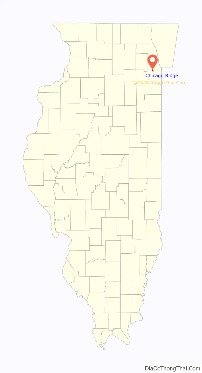
| State: | Illinois |
| County: | Cook County |
| Incorporated: | 1914 |
| Total Area: | 2.27 sq mi (5.87 km²) |
| Land Area: | 2.27 sq mi (5.87 km²) |
| Water Area: | 0.00 sq mi (0.00 km²) 0% |
| Total Population: | 14,433 |
| Population Density: | 6,363.76/sq mi (2,457.11/km²) |
| Area code: | 708 |
| FIPS code: | 1714065 |
| Website: | chicagoridge.org |
Online Interactive Map
Click on ![]() to view map in "full screen" mode.
to view map in "full screen" mode.
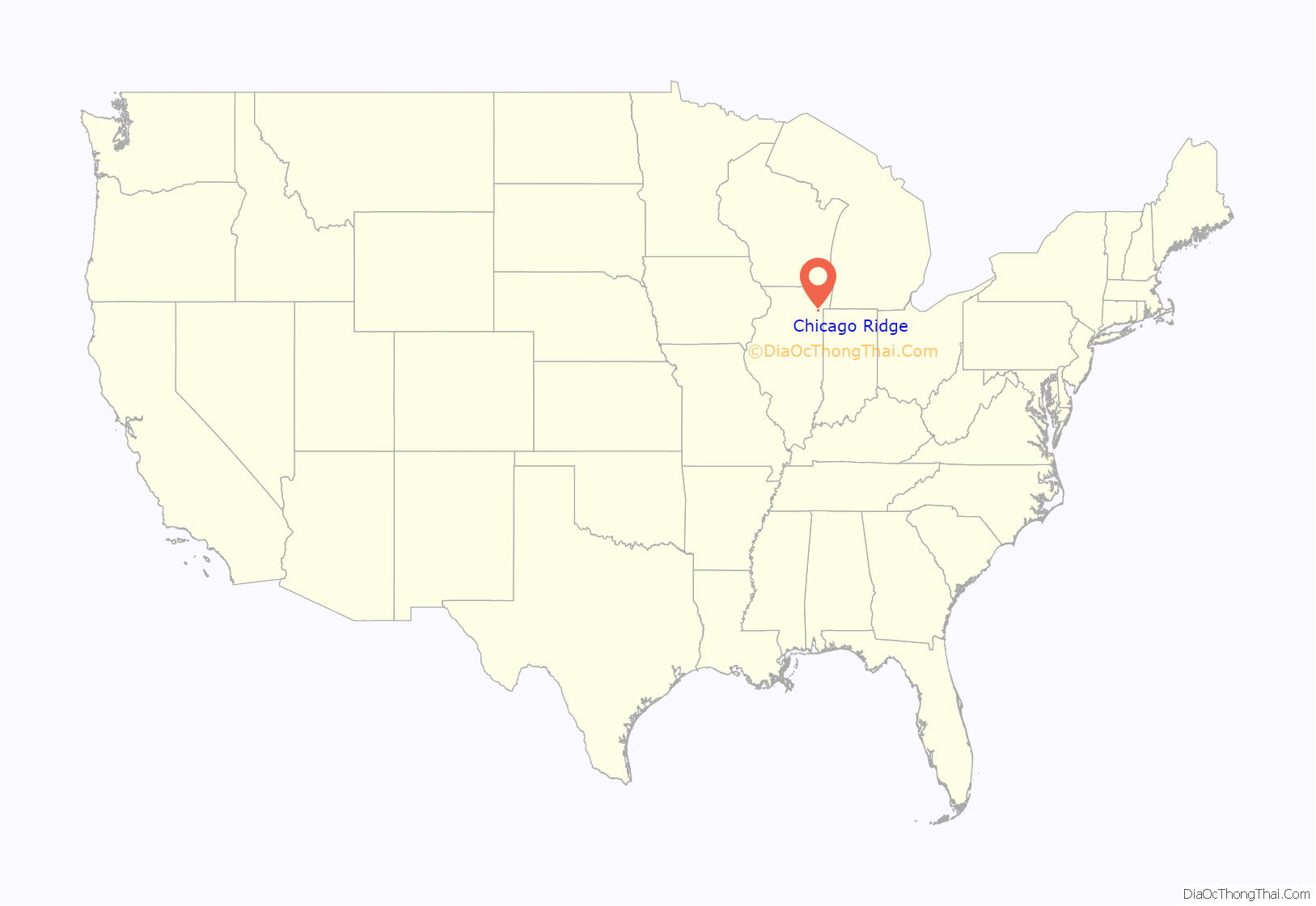
Chicago Ridge location map. Where is Chicago Ridge village?
History
Chicago Ridge takes its name from ridges left behind when trainloads of dirt were brought out by the Wabash Railroad during construction of the Columbian Exposition of 1893.
Incorporated on October 17, 1914, the village has an area of approximately 2.2 square miles (5.7 km) and is located in the southwestern portion of Cook County, Illinois, about 20 miles (32 km) southwest of downtown Chicago.
The path of Stony Creek arcs through the village. It is not only an old creek but also the remnants of a feeder canal for the Illinois & Michigan Canal that reached from the Little Calumet River westward through the Saganash-kee Slough. Although the work on the feeder canal brought some settlers in the 1840s, German and Dutch farmers arrived after the 1850s.
Settlement increased with the coming of the Wabash, St. Louis & Pacific Railroad in 1882. Later, the Wabash would be crossed in the middle of Chicago Ridge by the Chicago and Calumet Terminal Railway, which also established rail yards in the village.
In 1898, the Paul E. Berger Company, manufacturers of cash registers and slot machines, located adjacent to the railroad. The Berger Company built housing for its employees, and a settlement emerged around the factory, with a tavern, rooming house, and grocery store. The first post office opened in 1900 in the Berger factory, and in 1902 the Wabash Railroad established a train station.
Both Chicago Ridge and Worth benefited from the activity and economic influences of a racetrack operating on 111th Street. Local residents proudly recall that a member of one of the founding families of the Chicago Ridge area, Fred Herbert, won the Kentucky Derby in 1910. The racetrack was torn down in 1911 and is now the site of Holy Sepulchre Cemetery.
After Oak Lawn incorporated in 1909, Chicago Ridge considered the move. An incorporated government could replace wooden sidewalks, deal with the stagnant waters in the swampy areas, initiate local municipal services and provide locally elected and accountable officials. They accomplished those tasks and more. Their successors then built on those early improvements with paved streets, sewers, street lights, and sidewalks. They also brought Lake Michigan water to the area.
Chicago Ridge grew from 176 in 1920 to 888 in 1950. With the great demand for housing and the expansion of road networks to include expressways, Chicago Ridge was poised for growth. Along with a strong new industrial and commercial base, the population increased dramatically, to 5,748 in 1960 and 14,127 in 2000.
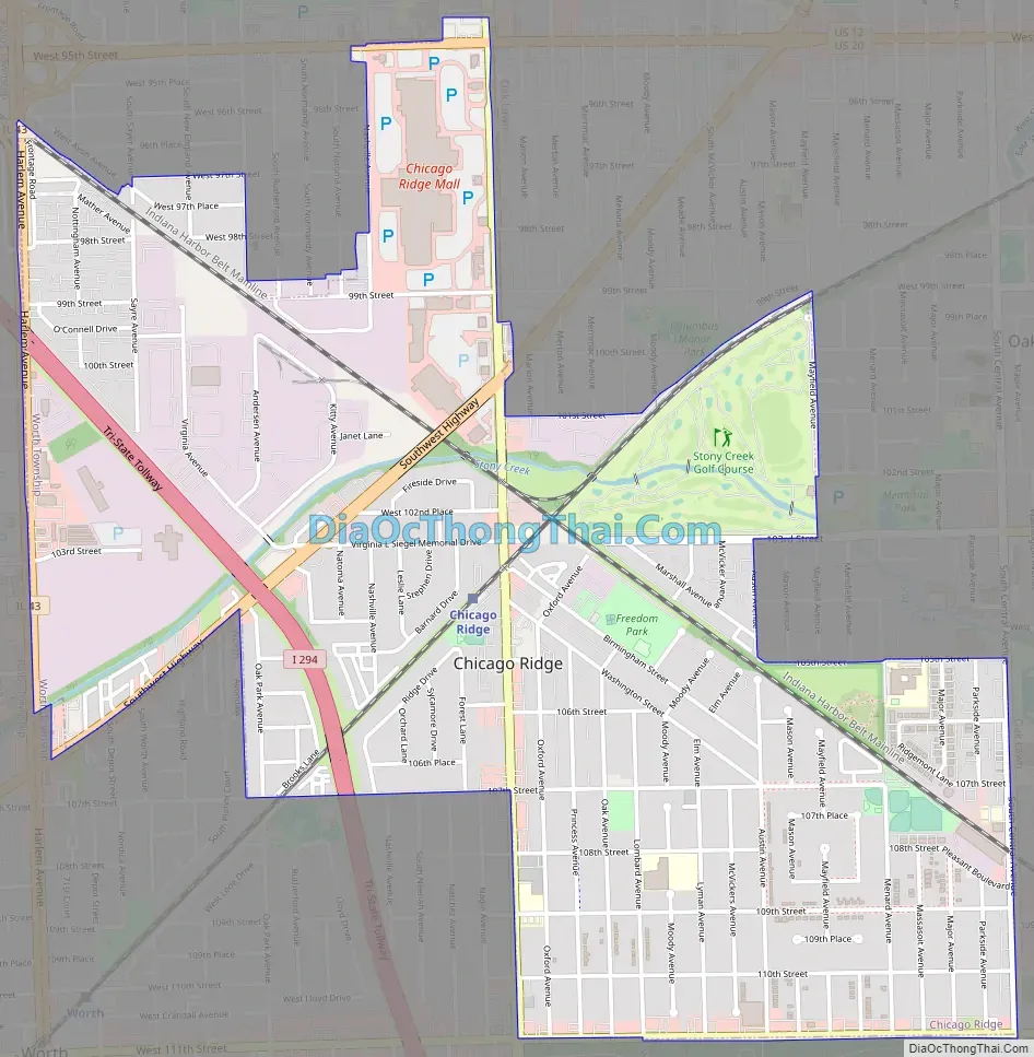
Chicago Ridge Road Map
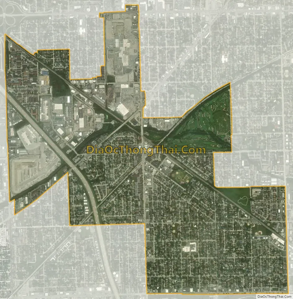
Chicago Ridge city Satellite Map
Geography
Chicago Ridge is located at 41°42′9″N 87°46′43″W / 41.70250°N 87.77861°W / 41.70250; -87.77861 (41.702482, -87.778690).
According to the 2021 census gazetteer files, Chicago Ridge has a total area of 2.27 square miles (5.88 km), all land.
Located in Cook County, the village is 18 miles (29 km) southwest of the Loop. Chicago Ridge’s irregular shape is bounded by Oak Lawn on the north and east, Bridgeview and Palos Hills on the west, and Worth on the south.
See also
Map of Illinois State and its subdivision:- Adams
- Alexander
- Bond
- Boone
- Brown
- Bureau
- Calhoun
- Carroll
- Cass
- Champaign
- Christian
- Clark
- Clay
- Clinton
- Coles
- Cook
- Crawford
- Cumberland
- De Kalb
- De Witt
- Douglas
- Dupage
- Edgar
- Edwards
- Effingham
- Fayette
- Ford
- Franklin
- Fulton
- Gallatin
- Greene
- Grundy
- Hamilton
- Hancock
- Hardin
- Henderson
- Henry
- Iroquois
- Jackson
- Jasper
- Jefferson
- Jersey
- Jo Daviess
- Johnson
- Kane
- Kankakee
- Kendall
- Knox
- La Salle
- Lake
- Lake Michigan
- Lawrence
- Lee
- Livingston
- Logan
- Macon
- Macoupin
- Madison
- Marion
- Marshall
- Mason
- Massac
- McDonough
- McHenry
- McLean
- Menard
- Mercer
- Monroe
- Montgomery
- Morgan
- Moultrie
- Ogle
- Peoria
- Perry
- Piatt
- Pike
- Pope
- Pulaski
- Putnam
- Randolph
- Richland
- Rock Island
- Saint Clair
- Saline
- Sangamon
- Schuyler
- Scott
- Shelby
- Stark
- Stephenson
- Tazewell
- Union
- Vermilion
- Wabash
- Warren
- Washington
- Wayne
- White
- Whiteside
- Will
- Williamson
- Winnebago
- Woodford
- Alabama
- Alaska
- Arizona
- Arkansas
- California
- Colorado
- Connecticut
- Delaware
- District of Columbia
- Florida
- Georgia
- Hawaii
- Idaho
- Illinois
- Indiana
- Iowa
- Kansas
- Kentucky
- Louisiana
- Maine
- Maryland
- Massachusetts
- Michigan
- Minnesota
- Mississippi
- Missouri
- Montana
- Nebraska
- Nevada
- New Hampshire
- New Jersey
- New Mexico
- New York
- North Carolina
- North Dakota
- Ohio
- Oklahoma
- Oregon
- Pennsylvania
- Rhode Island
- South Carolina
- South Dakota
- Tennessee
- Texas
- Utah
- Vermont
- Virginia
- Washington
- West Virginia
- Wisconsin
- Wyoming


