Cornell is a village in Livingston County, Illinois, United States. The population was 467 at the 2010 census.
| Name: | Cornell village |
|---|---|
| LSAD Code: | 47 |
| LSAD Description: | village (suffix) |
| State: | Illinois |
| County: | Livingston County |
| Elevation: | 632 ft (193 m) |
| Total Area: | 0.65 sq mi (1.69 km²) |
| Land Area: | 0.65 sq mi (1.69 km²) |
| Water Area: | 0.00 sq mi (0.00 km²) |
| Total Population: | 446 |
| Population Density: | 681.96/sq mi (263.20/km²) |
| ZIP code: | 61319 |
| FIPS code: | 1716405 |
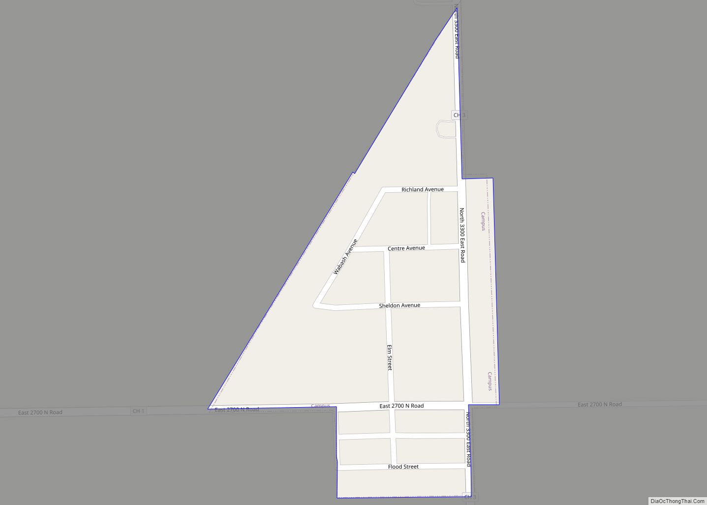
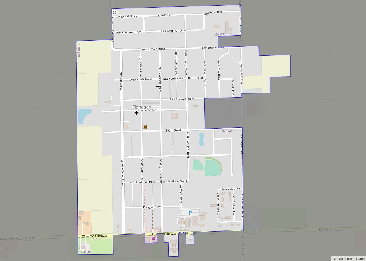
Online Interactive Map
Click on ![]() to view map in "full screen" mode.
to view map in "full screen" mode.
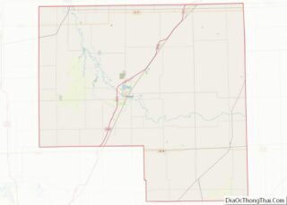
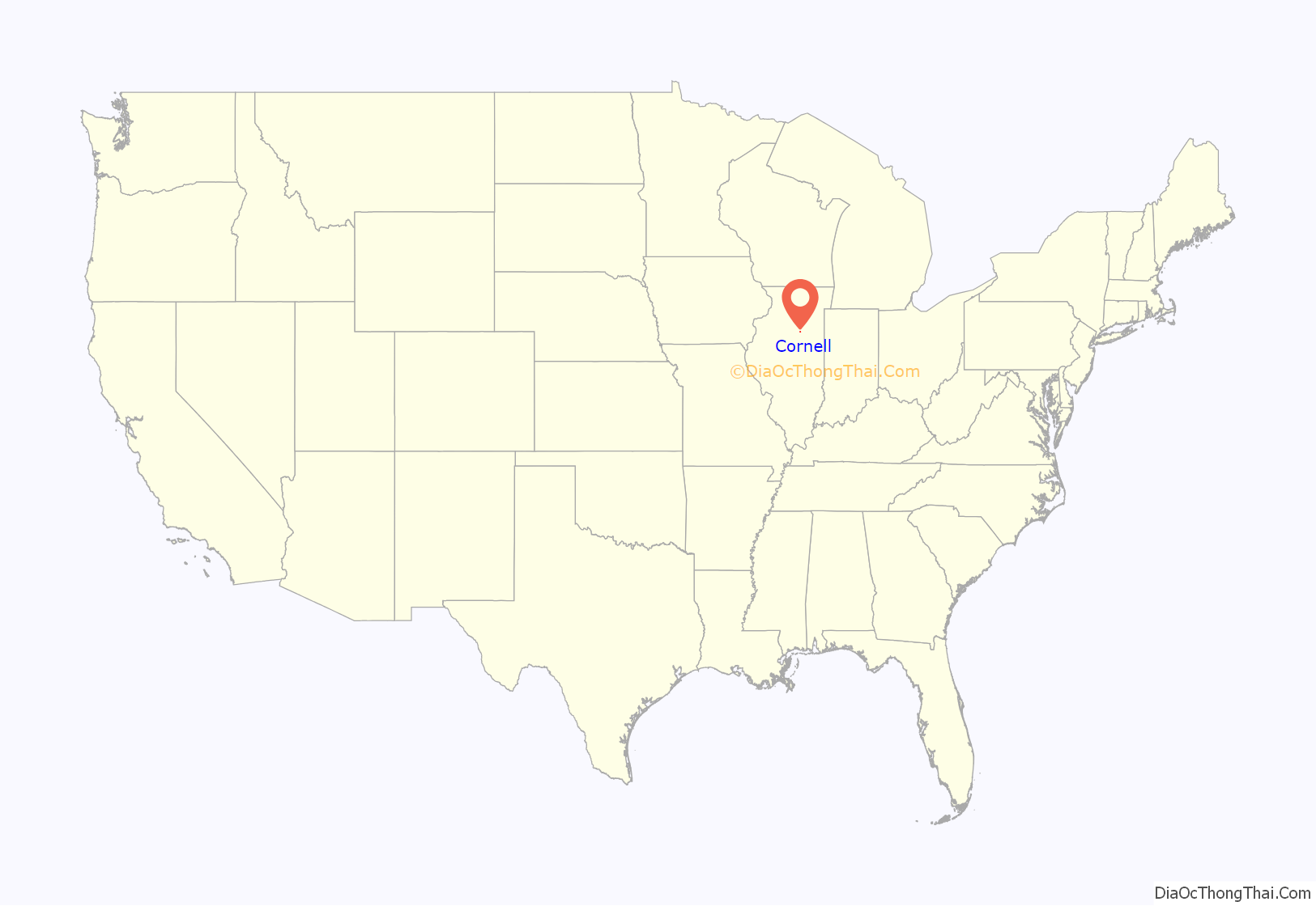
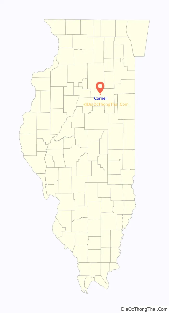
Cornell location map. Where is Cornell village?
History
The modern town of Cornell is a blending of two towns founded at almost the same time. Both were attempting to attract a station on the new Fairbury Pontiac and Northwestern Railroad, which eventually became part of the Wabash Railroad. The town of Cornell was laid out by Walter P. Cornell (3 April 1811 – 5 May 1889) on 15 June 1871. The adjoining town of Amity was laid out two days later by Willard D. Blake (5 February 1840 – 1 June 1875). Walter Cornell was born in Rhode Island, came to Illinois in 1837, served three years as County Treasurer, and was a director of the railroad. Blake was a farmer born in LaSalle County, Illinois, who died at the age of 35. Ironically, while the name Cornell was kept by the new town, most of the early businesses were in the Amity part of the plat. Indeed, several early houses built in Cornell were soon moved a few blocks down to the Amity part of the town. Cornell was officially organized as a town in 1873. The original town of Cornell was centered on a block of public land, which is today called North Park. Neither original town had a railroad ground, but a small triangular “Public Ground” was later added. South Park dates from a later addition to the town. The town soon had several grocery stores, a bank, four churches, a stockyard, a harness shop and a newspaper, the Cornell Journal. The main businesses remaining in Cornell include Casey’s General Store and Fortner’s Pub. Cornell Grade School is the only school in town and the mascot is the cougar. Cornell students attend high school in Flanagan at Flanagan-Cornell High School.
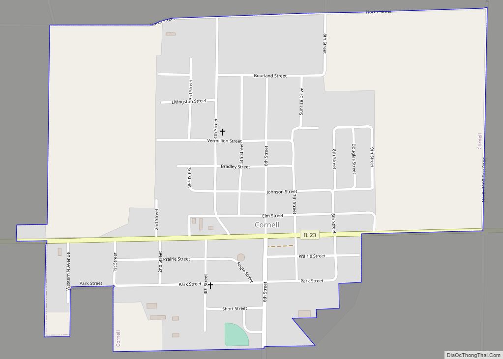
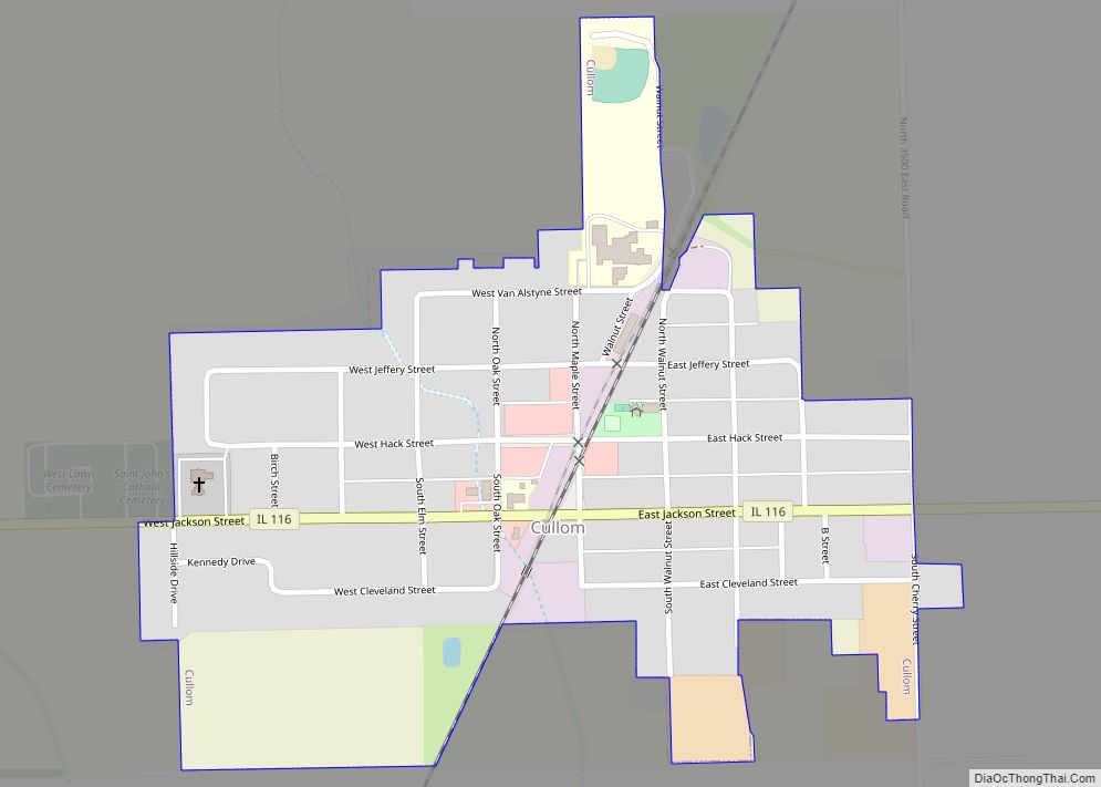
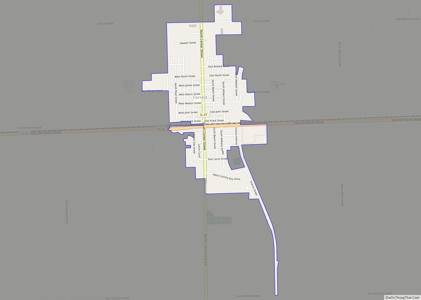
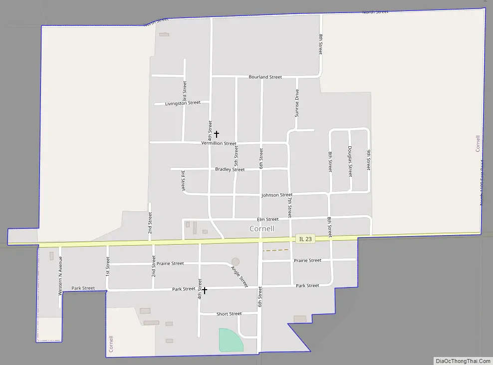
Cornell Road Map
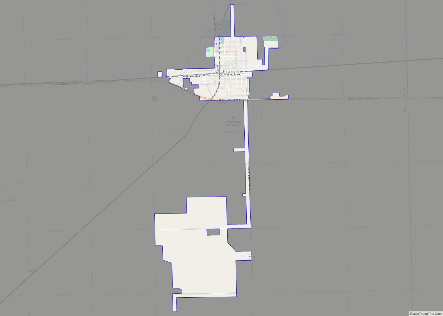
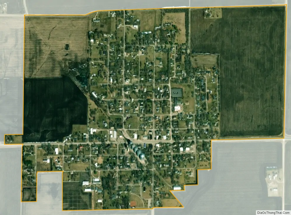
Cornell city Satellite Map
Geography
Cornell is located in northwestern Livingston County at 40°59′27″N 88°43′47″W / 40.990817°N 88.729832°W / 40.990817; -88.729832, in the northeastern part of Amity Township. Illinois Route 23 passes through the village, leading northwest 14 miles (23 km) to Streator and southeast 12 miles (19 km) to Pontiac, the Livingston county seat.
According to the 2010 census, Cornell has a total area of 0.64 square miles (1.66 km), all land.
See also
Map of Illinois State and its subdivision:- Adams
- Alexander
- Bond
- Boone
- Brown
- Bureau
- Calhoun
- Carroll
- Cass
- Champaign
- Christian
- Clark
- Clay
- Clinton
- Coles
- Cook
- Crawford
- Cumberland
- De Kalb
- De Witt
- Douglas
- Dupage
- Edgar
- Edwards
- Effingham
- Fayette
- Ford
- Franklin
- Fulton
- Gallatin
- Greene
- Grundy
- Hamilton
- Hancock
- Hardin
- Henderson
- Henry
- Iroquois
- Jackson
- Jasper
- Jefferson
- Jersey
- Jo Daviess
- Johnson
- Kane
- Kankakee
- Kendall
- Knox
- La Salle
- Lake
- Lake Michigan
- Lawrence
- Lee
- Livingston
- Logan
- Macon
- Macoupin
- Madison
- Marion
- Marshall
- Mason
- Massac
- McDonough
- McHenry
- McLean
- Menard
- Mercer
- Monroe
- Montgomery
- Morgan
- Moultrie
- Ogle
- Peoria
- Perry
- Piatt
- Pike
- Pope
- Pulaski
- Putnam
- Randolph
- Richland
- Rock Island
- Saint Clair
- Saline
- Sangamon
- Schuyler
- Scott
- Shelby
- Stark
- Stephenson
- Tazewell
- Union
- Vermilion
- Wabash
- Warren
- Washington
- Wayne
- White
- Whiteside
- Will
- Williamson
- Winnebago
- Woodford
- Alabama
- Alaska
- Arizona
- Arkansas
- California
- Colorado
- Connecticut
- Delaware
- District of Columbia
- Florida
- Georgia
- Hawaii
- Idaho
- Illinois
- Indiana
- Iowa
- Kansas
- Kentucky
- Louisiana
- Maine
- Maryland
- Massachusetts
- Michigan
- Minnesota
- Mississippi
- Missouri
- Montana
- Nebraska
- Nevada
- New Hampshire
- New Jersey
- New Mexico
- New York
- North Carolina
- North Dakota
- Ohio
- Oklahoma
- Oregon
- Pennsylvania
- Rhode Island
- South Carolina
- South Dakota
- Tennessee
- Texas
- Utah
- Vermont
- Virginia
- Washington
- West Virginia
- Wisconsin
- Wyoming